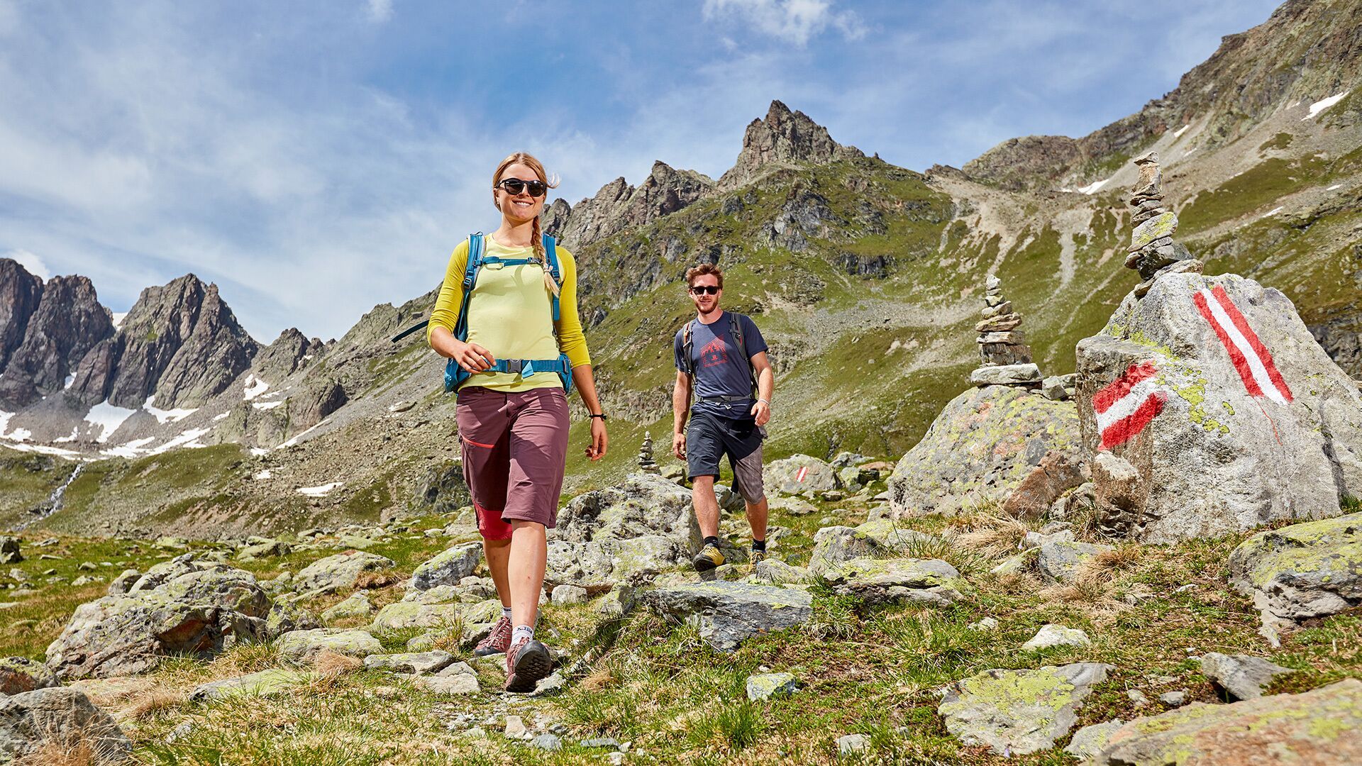
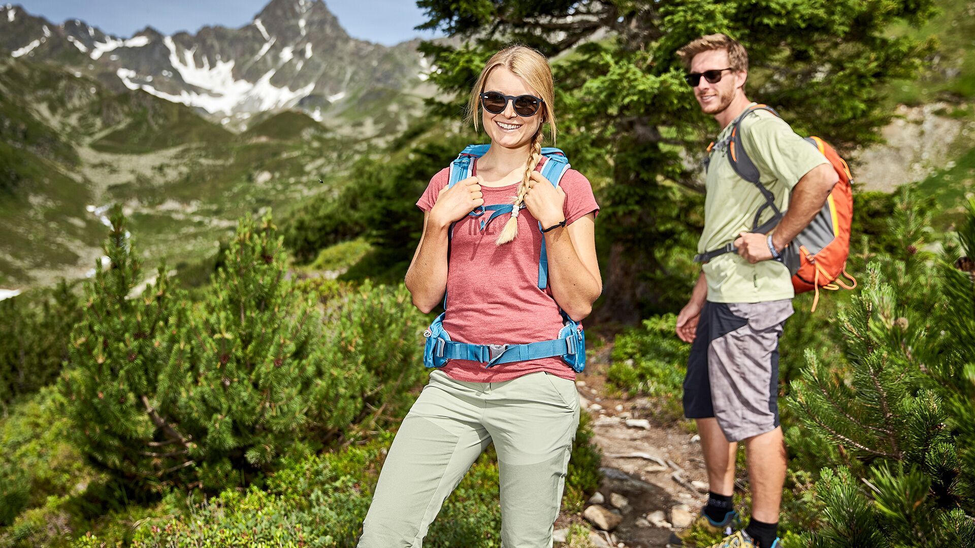
Description
You can reach the starting point of this tour - the parking lot „Friedrichshafener Hütte“ via car or via the hiking bus (direction Mathon /Galtür), stopping at „Piel“. While ascending take the shortcut and you will reach the Friedrichshafener Hütte at 2.144 metres in about 2 hours (overnight stay possible). Either you walk the same way back or you have the following option as an extended variante. From the lodge follow the sign „Georg Prasser Weg“ and hike up the steep path up to the Schafbicheljoch. After that you reach the highest point, the Vertinespleiskopf at 2.700 metres before you hike down again in direction of the Muttenjoch and later you will reach the Friedrichshafener Weg (dirt road). Here chose the narrow path down to Galtür named „1.000 Höhenmeter Weg“. Return section: back to the starting point either walk or take the hiking bus.
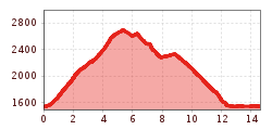
Difficulty: Middle Length: 13.50 km Duration: 5.30 h Ascent: 1276 m Descent: 1276 m Highest Point: 2706 m Lowest Point: 1560 m Surface: Waldweg. Schotter Start: Parkplatz End: Friedrichshafener Hütte Height valley: 1560 Height mountain: 2706
.jpg")

.jpg")


.jpg")


.jpg")
.jpg")
