Arrival by public transport
Linienbus
4104
Bus stop Tux-Juns Neuhäsul
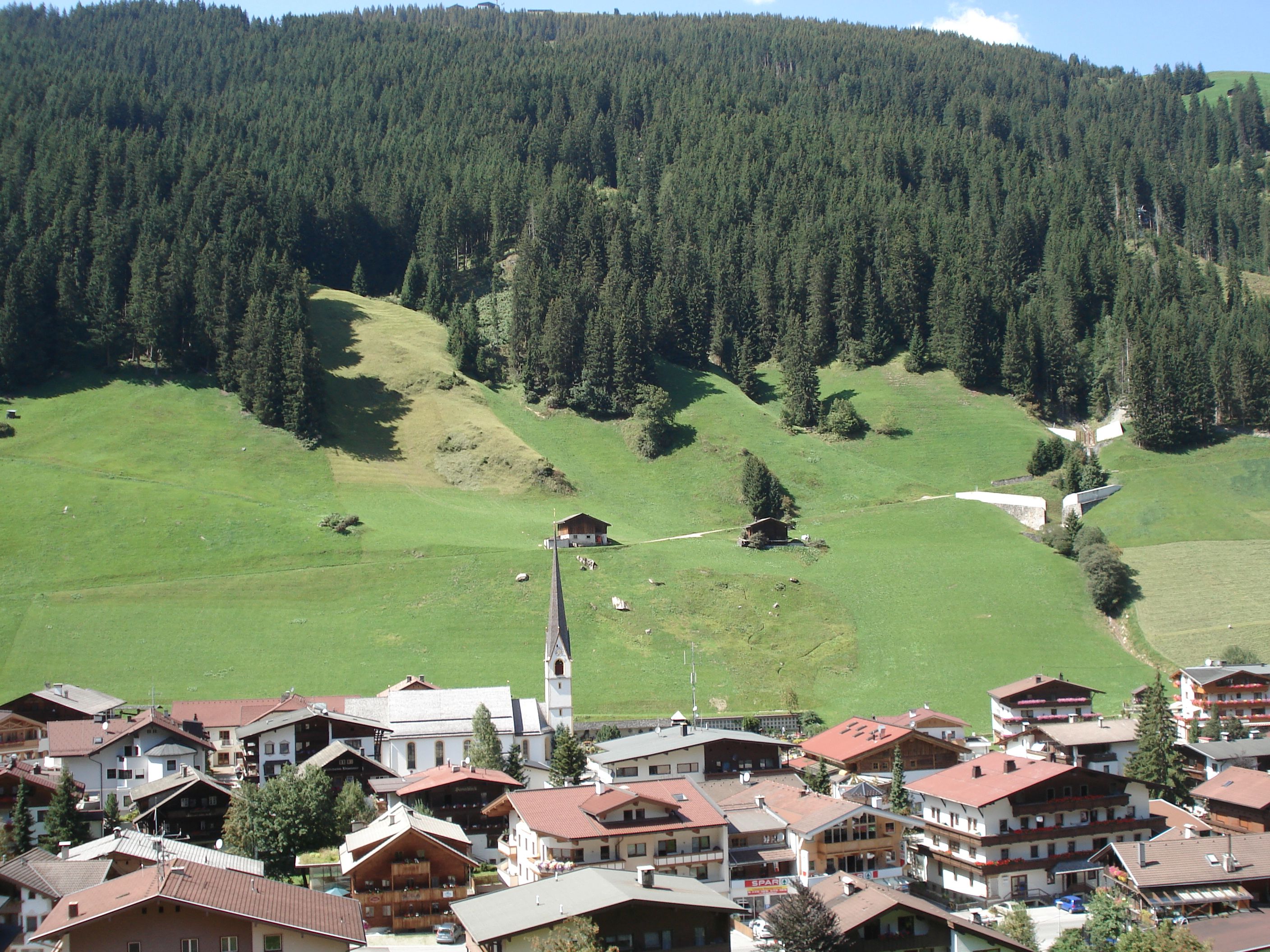
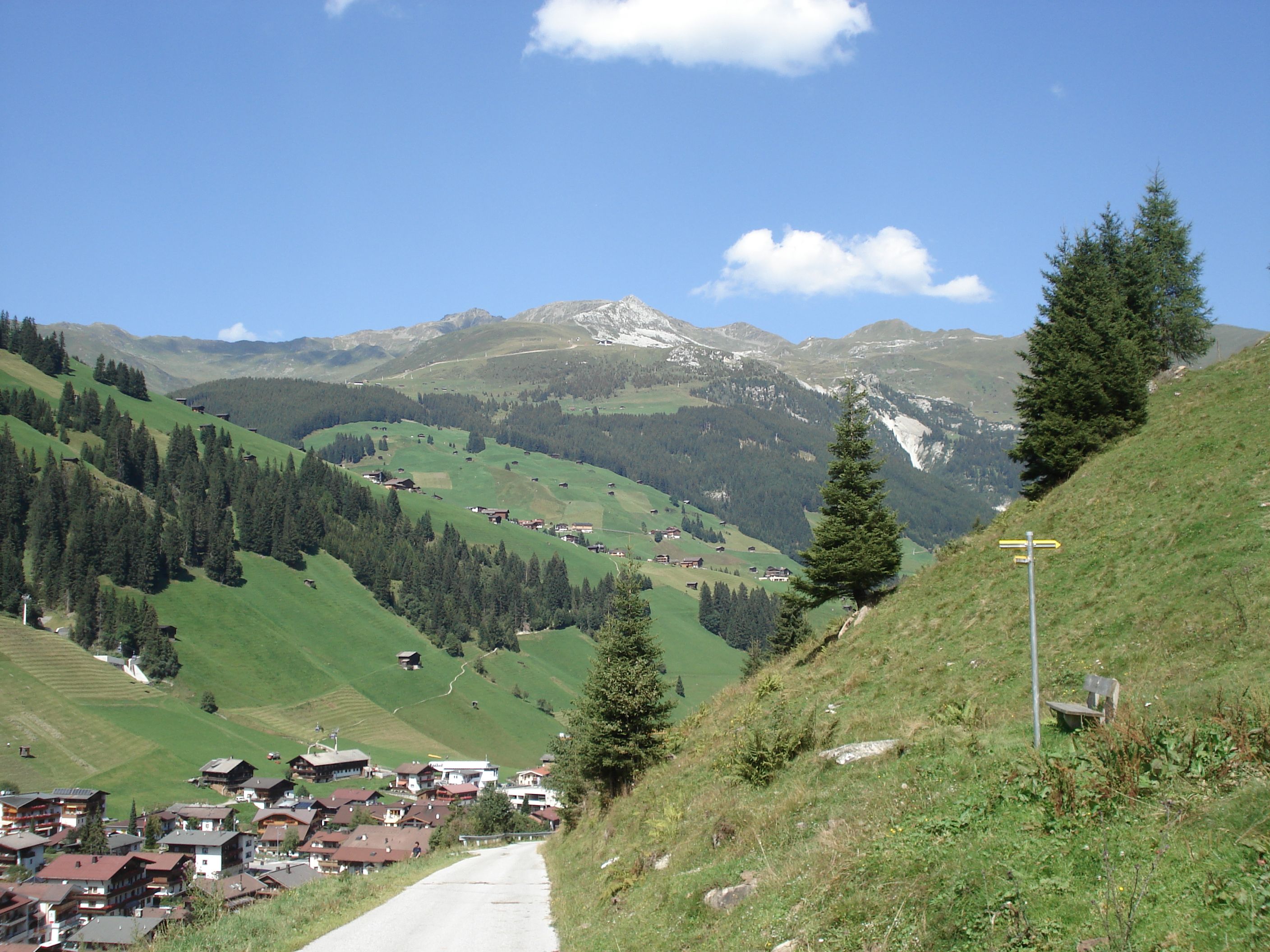
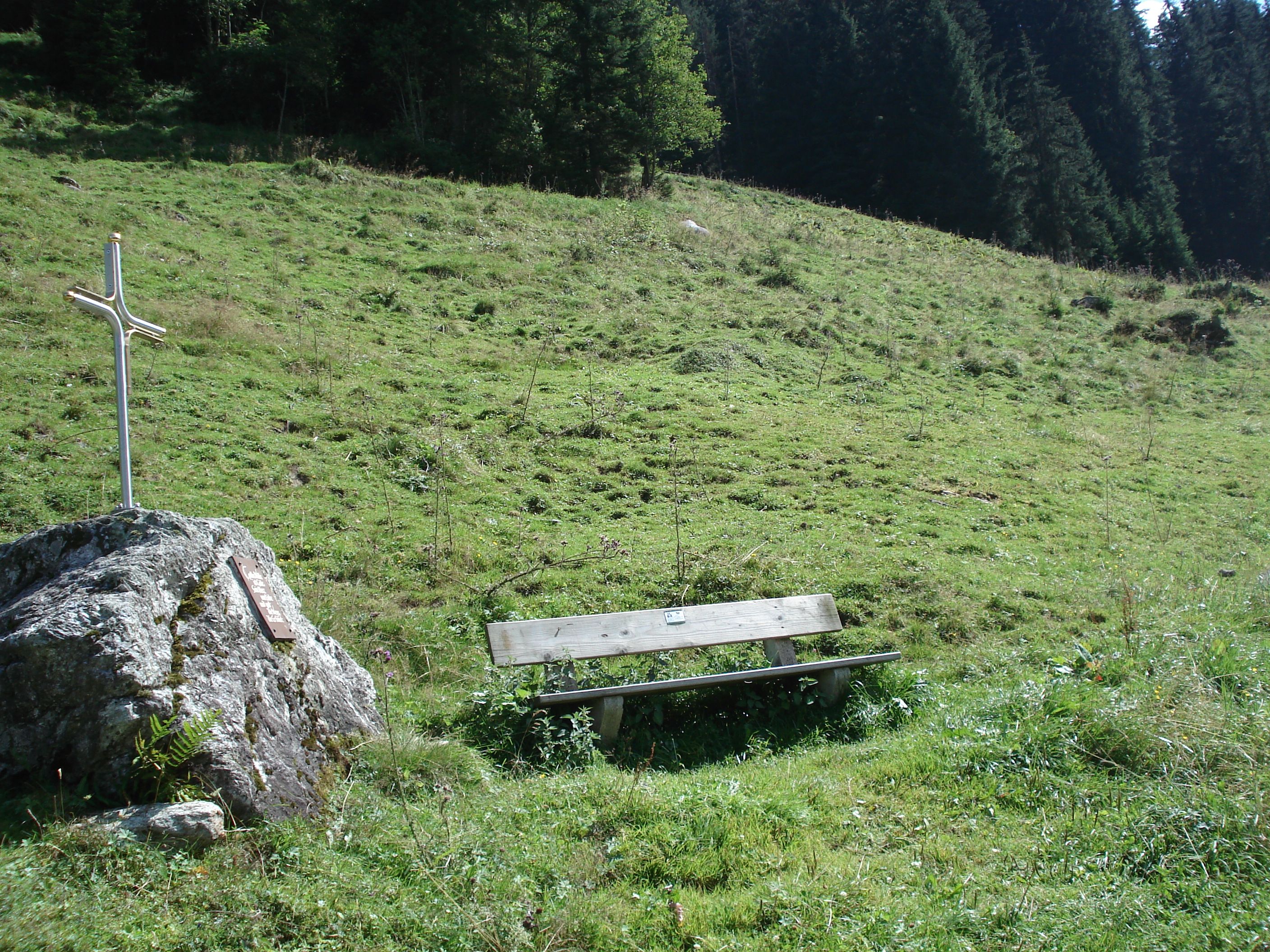
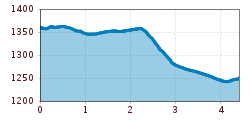
Leisurely valley hike along the Tuxbach stream!
Sports shoes with good thread sole – BETTER: light hiking shoes
Clotihing suitable for the weather
Sunscreen
Drinks and food
Cross the bridge near house Neuhäusl (house no. 616). On the other side of this bridge the valley footpath no. 10 leads off to the left to Tux-Lanersbach and from here proceed to Tux-Vorderlanersbach.
Linienbus
4104
Bus stop Tux-Juns Neuhäsul
Nearest car parks:
Tux-Juns/Tuxer Mühle - small car park: after the end of Juns next to the Tuxer Landesstraße L6 on the right
Tux-Madseit/Heliport Alpin 5 - car park on the left side of the Tuxer
Landesstraße L6 just after the bus stop Tuxer Mühle
Day car park Vorderlanersbach


")


")


