Mountain hikes Krabichl - Leiner Alm - Sechszeiger - Kalbenalm - Krabichl

Arzl im Pitztal /
Difficulty ratings: medium
Route length: 15.3 km
Duration: 6:00 h

Krabichl - Leiner Alm - Sechszeiger - Kalbenalm - Krabichl

Tour information

  • Requirement: medium
  • Length: 15.3 km
  • Duration: 6:00 h
  • Elevation uphill:1,230 hm
  • Elevation downhill:1,230 hm
Highest point2,384 m

Starting point

Krabichl/Leins

Finishing point

Krabichl/Leins

Features

  • Circular route

Best time of year

  • January
  • February
  • March
  • April
  • May
  • June
  • July
  • August
  • September
  • October
  • November
  • December

Trail condition

forest path, track
Source: Pitztal

Description

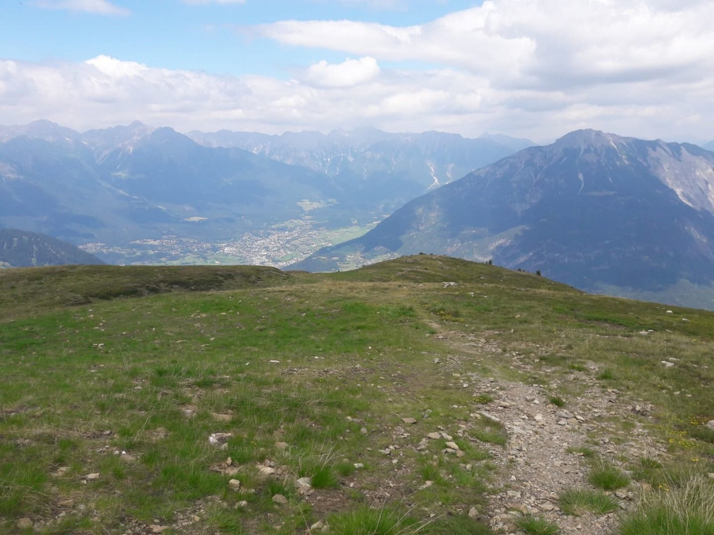
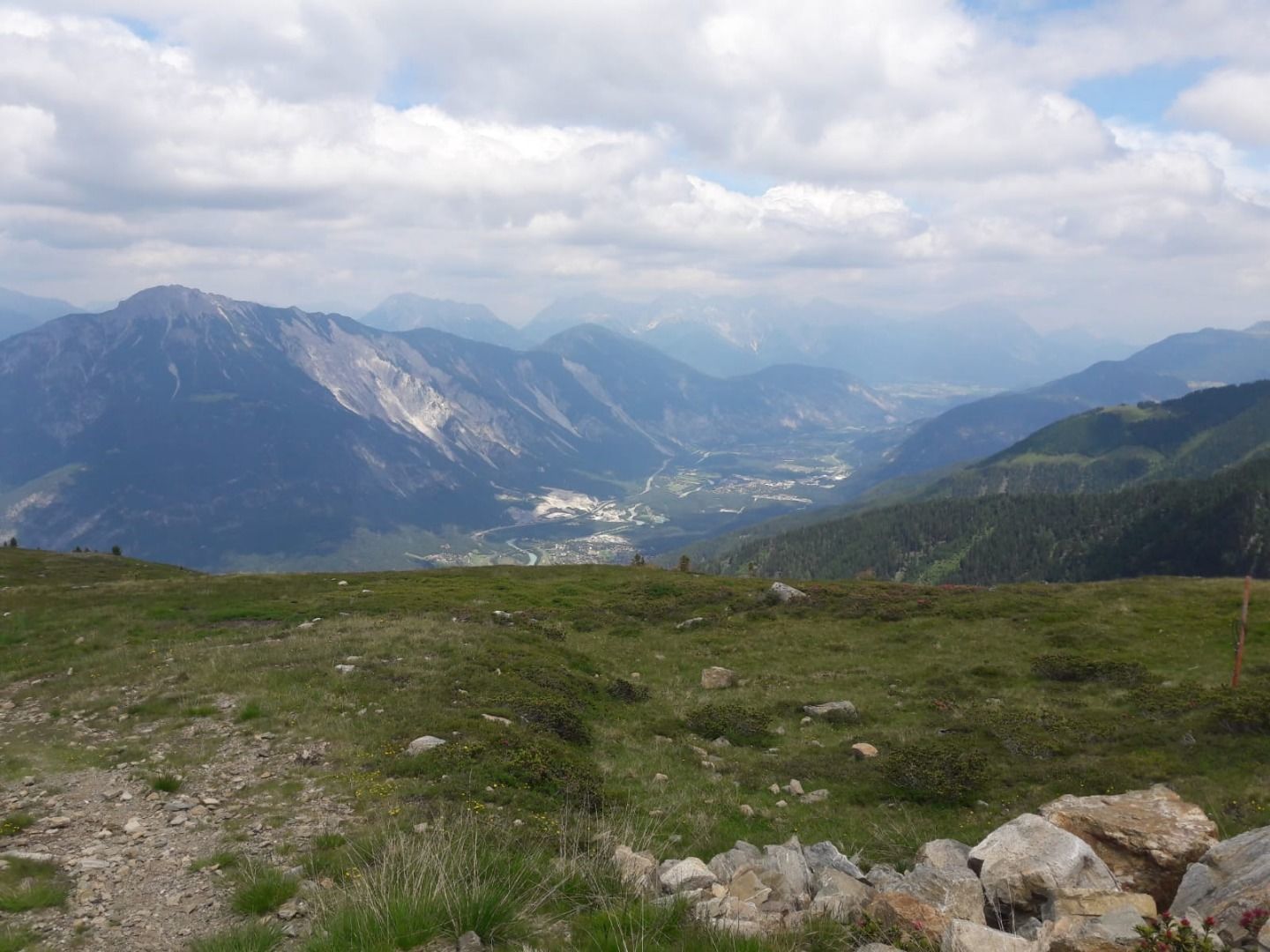
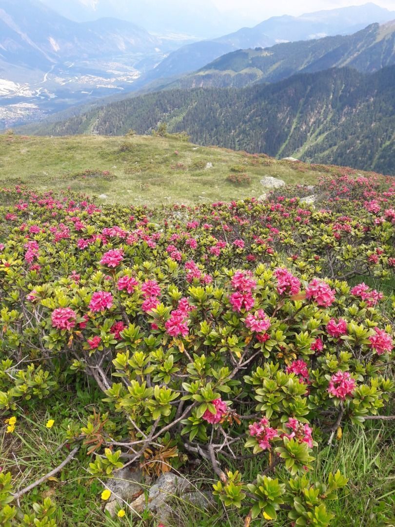
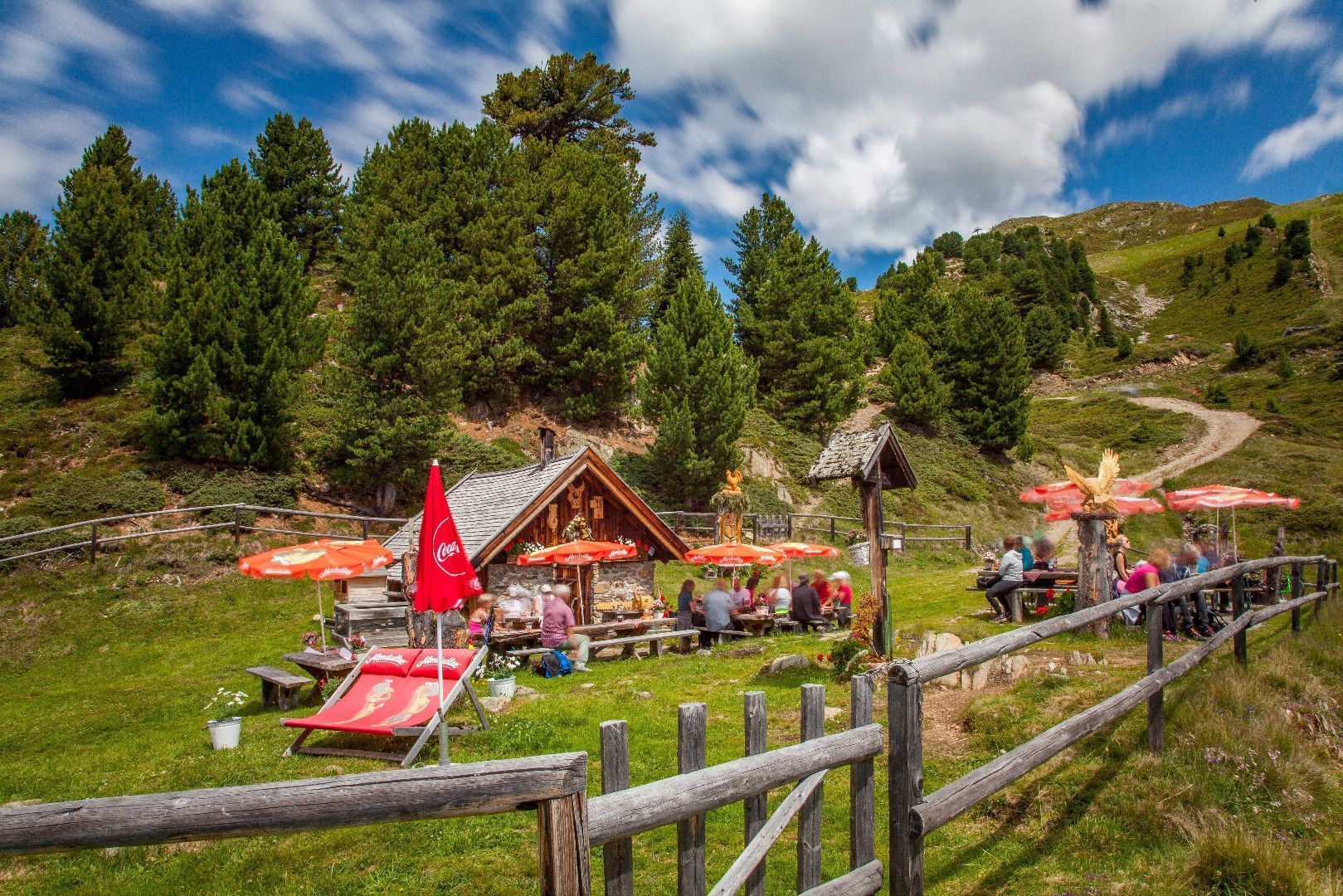
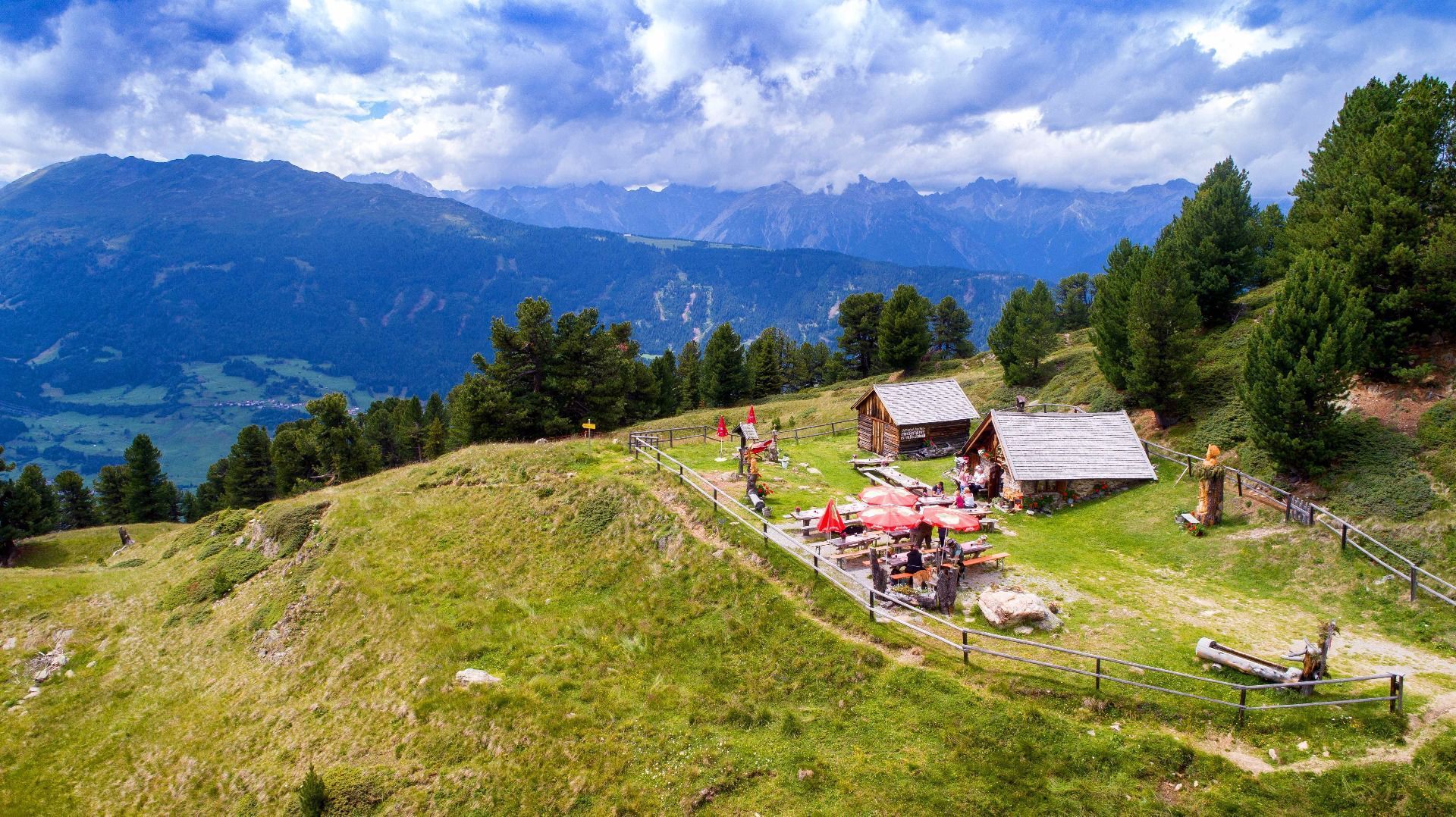
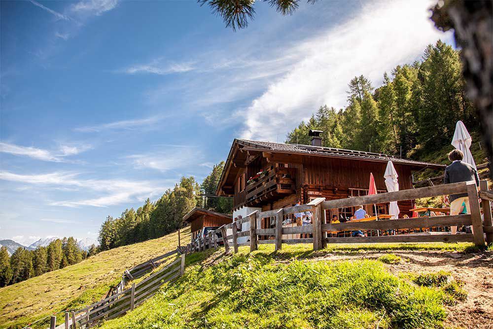
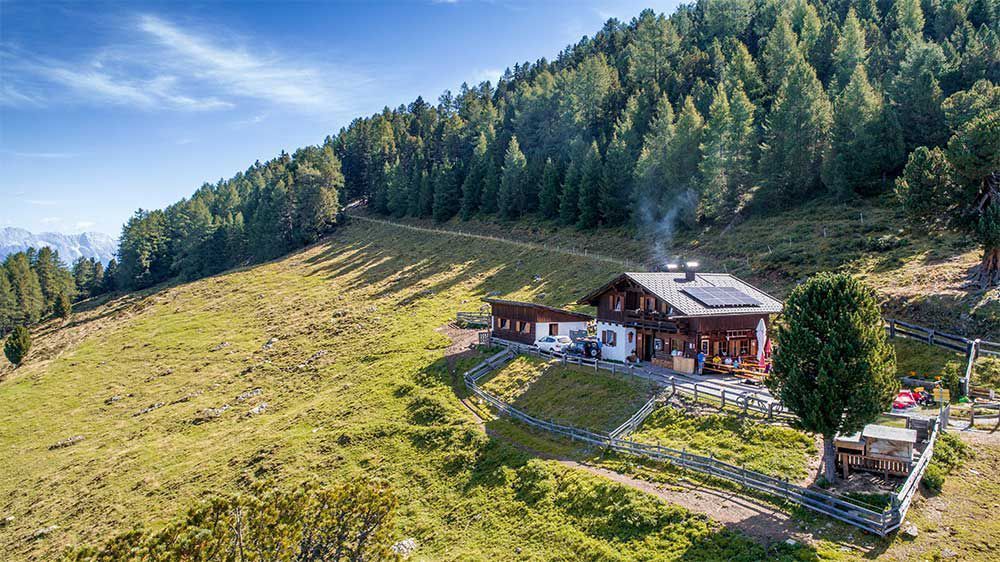
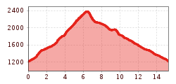
The start of the walk is at the hamlet Krabichl between Leins and Wald. Follow the forest path on the right to the next fork. Then follow the forest road in the direction of the Hilterboden Chapel. The forest road leads to a steep path up to the catered mountain hut Leiner Alm. Just overlooking Leiner Alm a path forks off to the left in the direction of Leiner Kögele/Sechzeiger. Return from Sechzeiger down to the catered mountain huts Kalbenalm and then on to Leineralm. From there, return via a forest road back down to your starting point in Krabichl.

More tours in the surrounding area

Newsletter

The mountain is calling? So does our newsletter!

In our monthly newsletter we reveal the best holiday tips for Tyrol.