
Opening hours:Open today
Place:Zams
:Alpine pasture / hut / mountain restaurant
From the Memminger Hütte, the challenging long-distance hiking trail E5 leads over the Seescharte (2,599m) down through the Zammer Loch to Zams. From summer 2025, the section from the Burschlwand to Zams will run along a new route for probably 4 years, as the path to the Bäuerinnenkapelle chapel is closed due to the construction work for the highway tunnels.
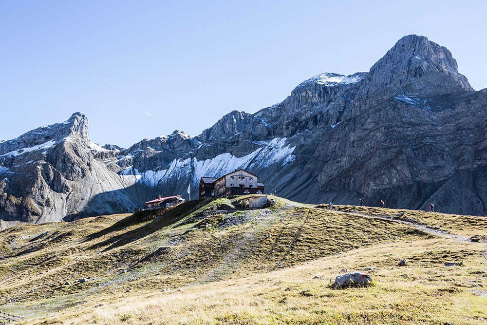
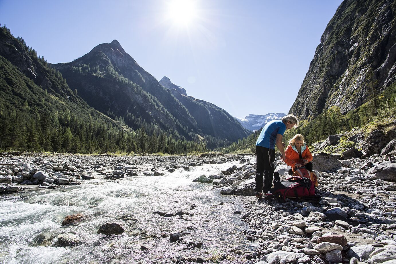
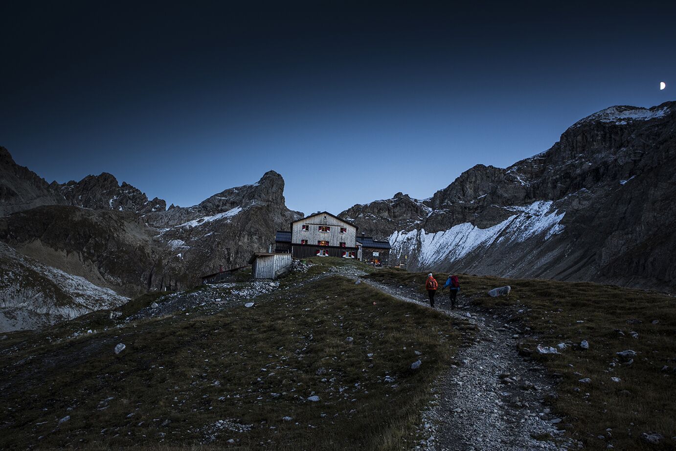

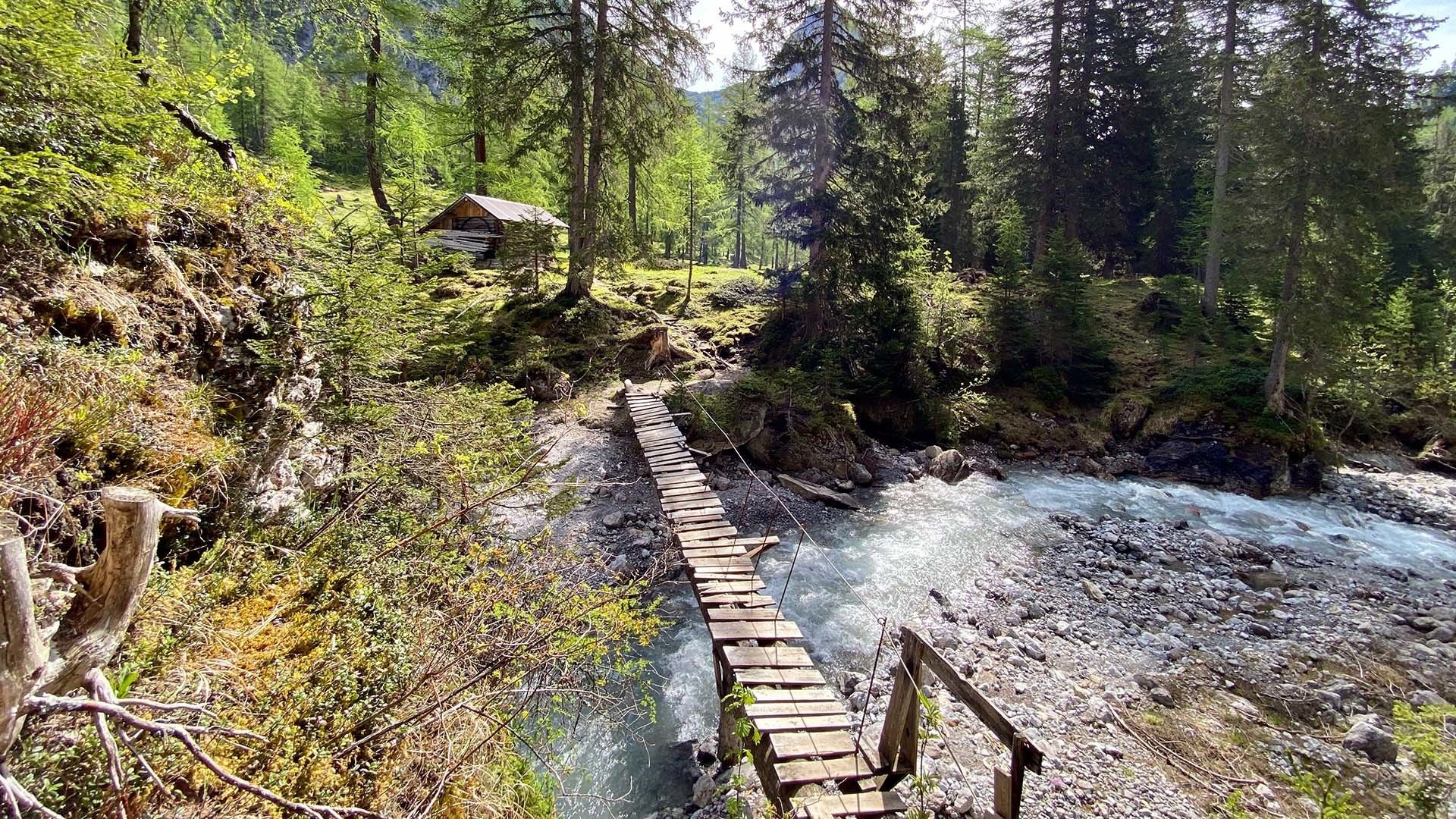
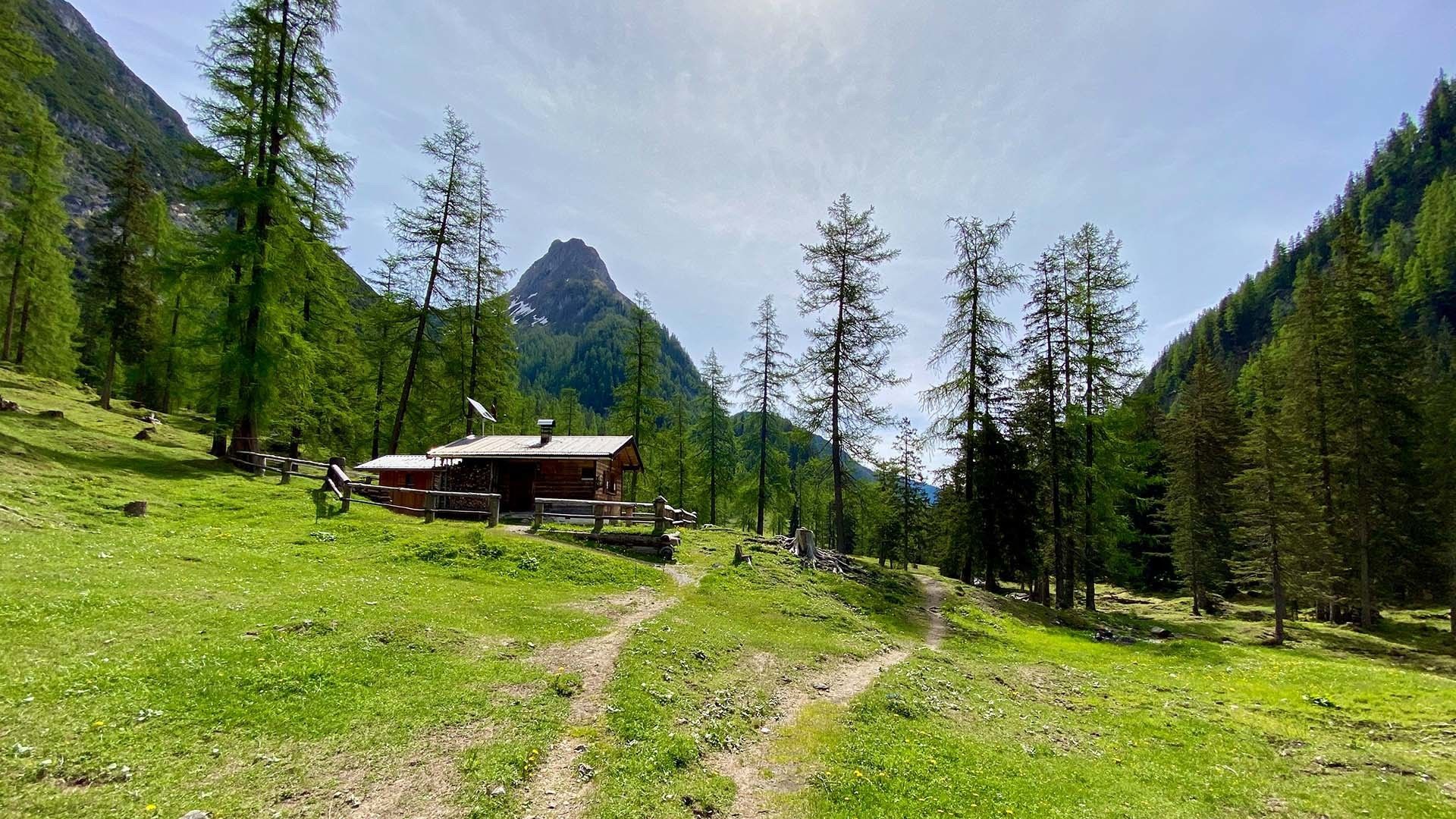
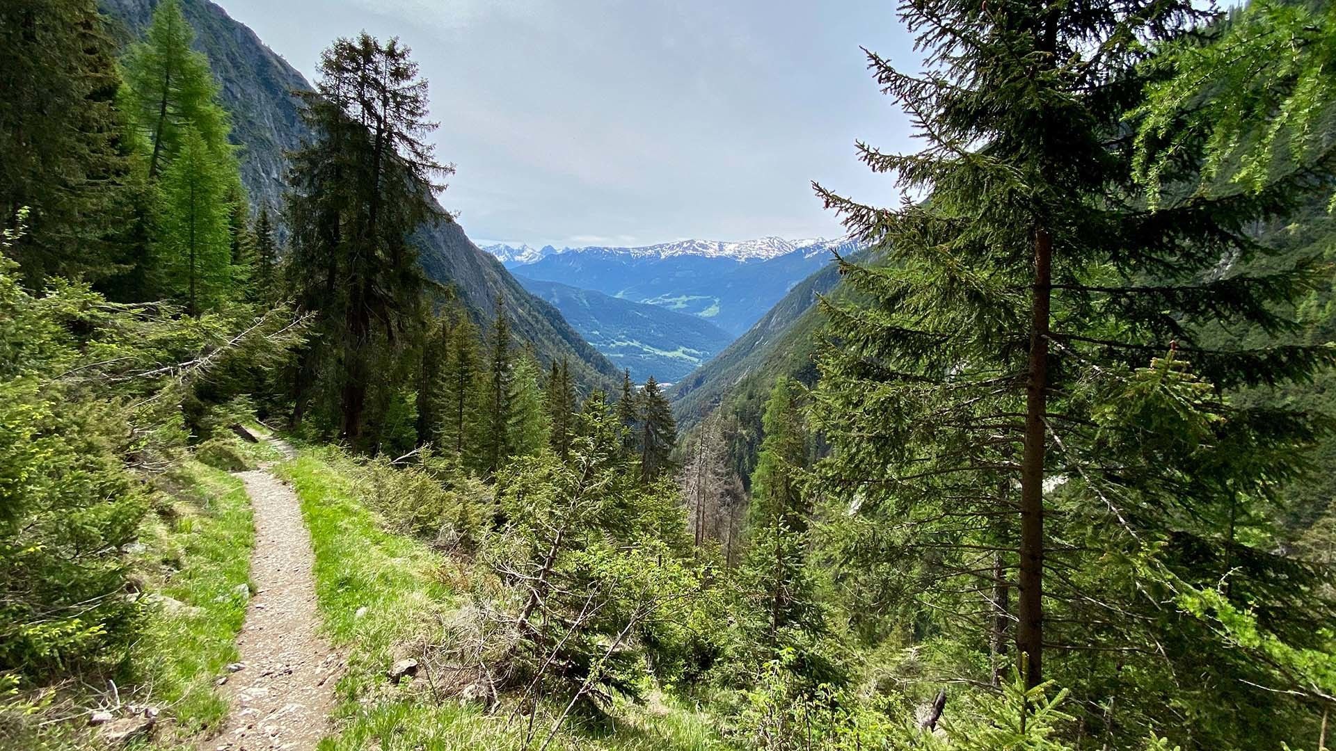
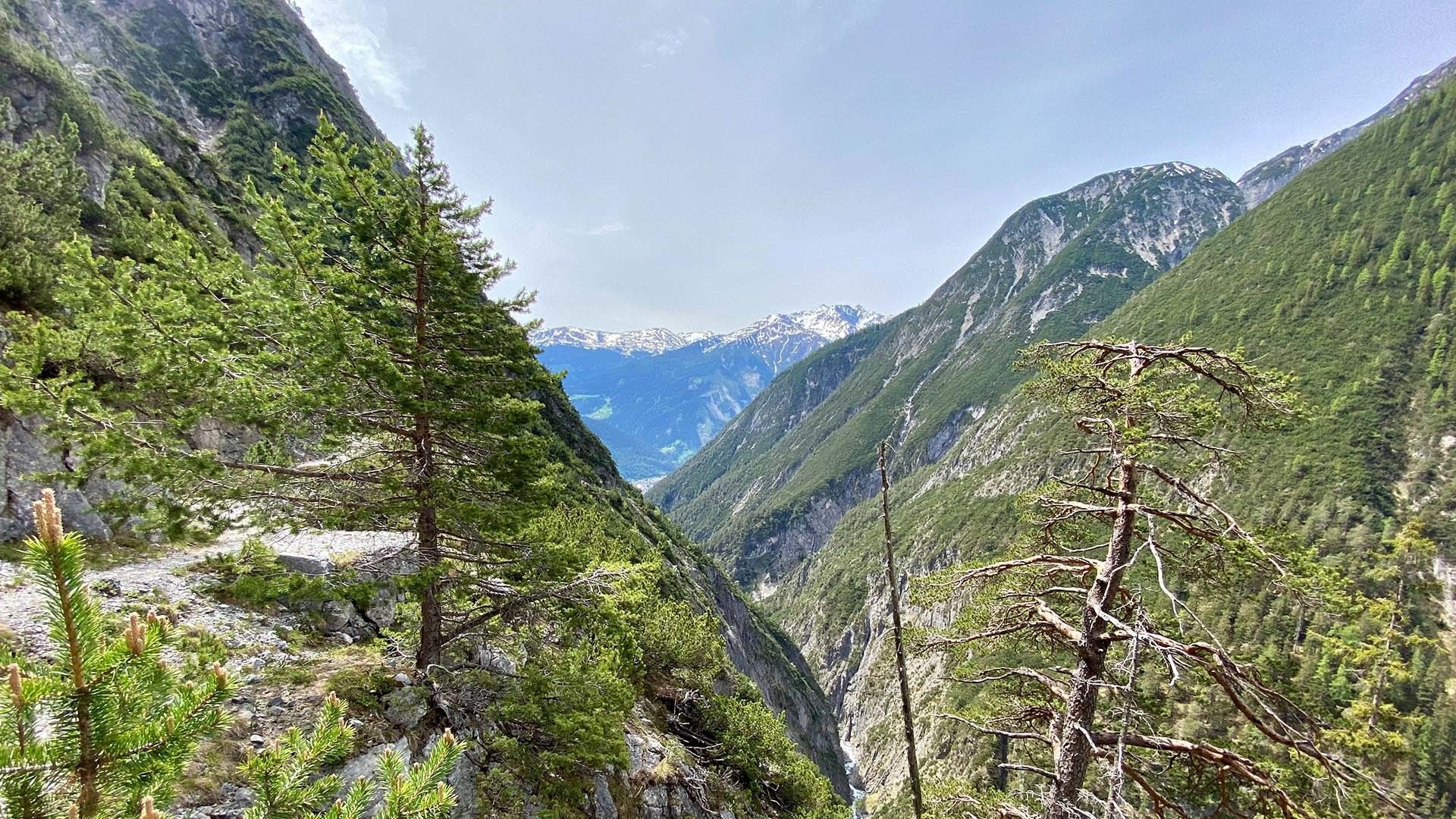
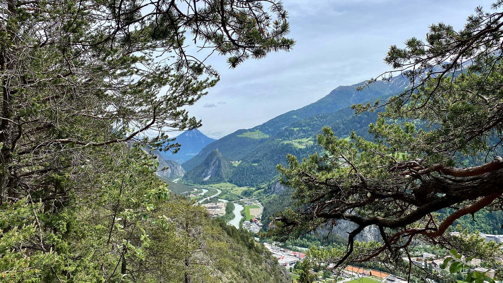
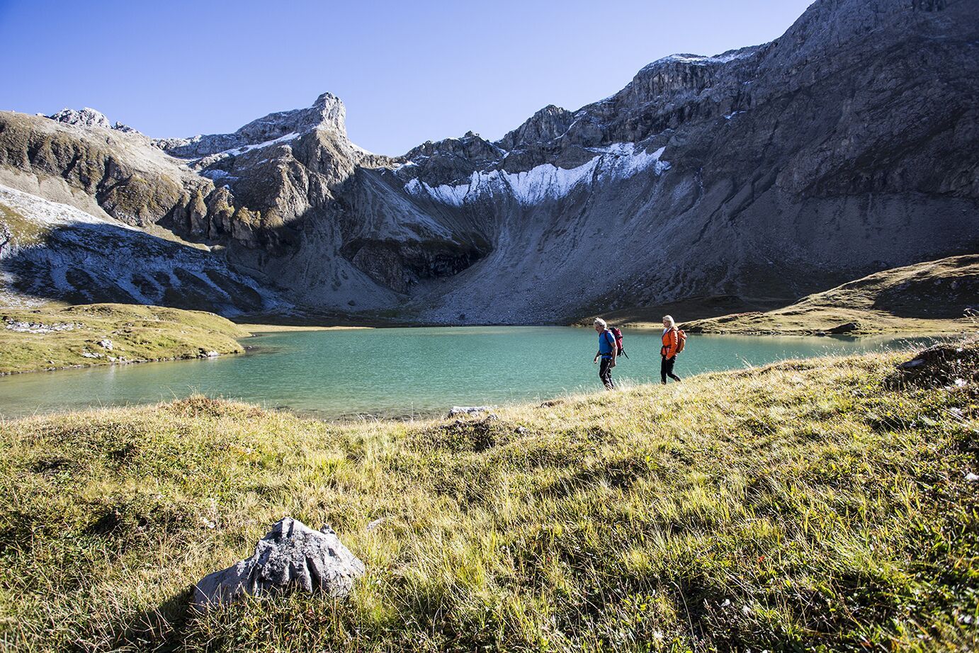
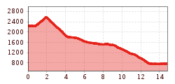
Past the lower Seewisee, which is on the left after the Memminger Hütte, a relatively steep path, with a short rope insurance, leads to the Seescharte (2,599m), the passage into the Zammer Loch. From there it is a steep descent of about 1 hour. The trail continues past the Oberlochalm (1,819m) and the Unterlochalm (1,567m), through the forest and over rocks on a narrow path towards Zams.
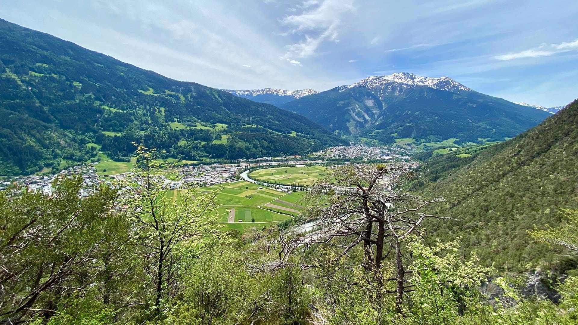
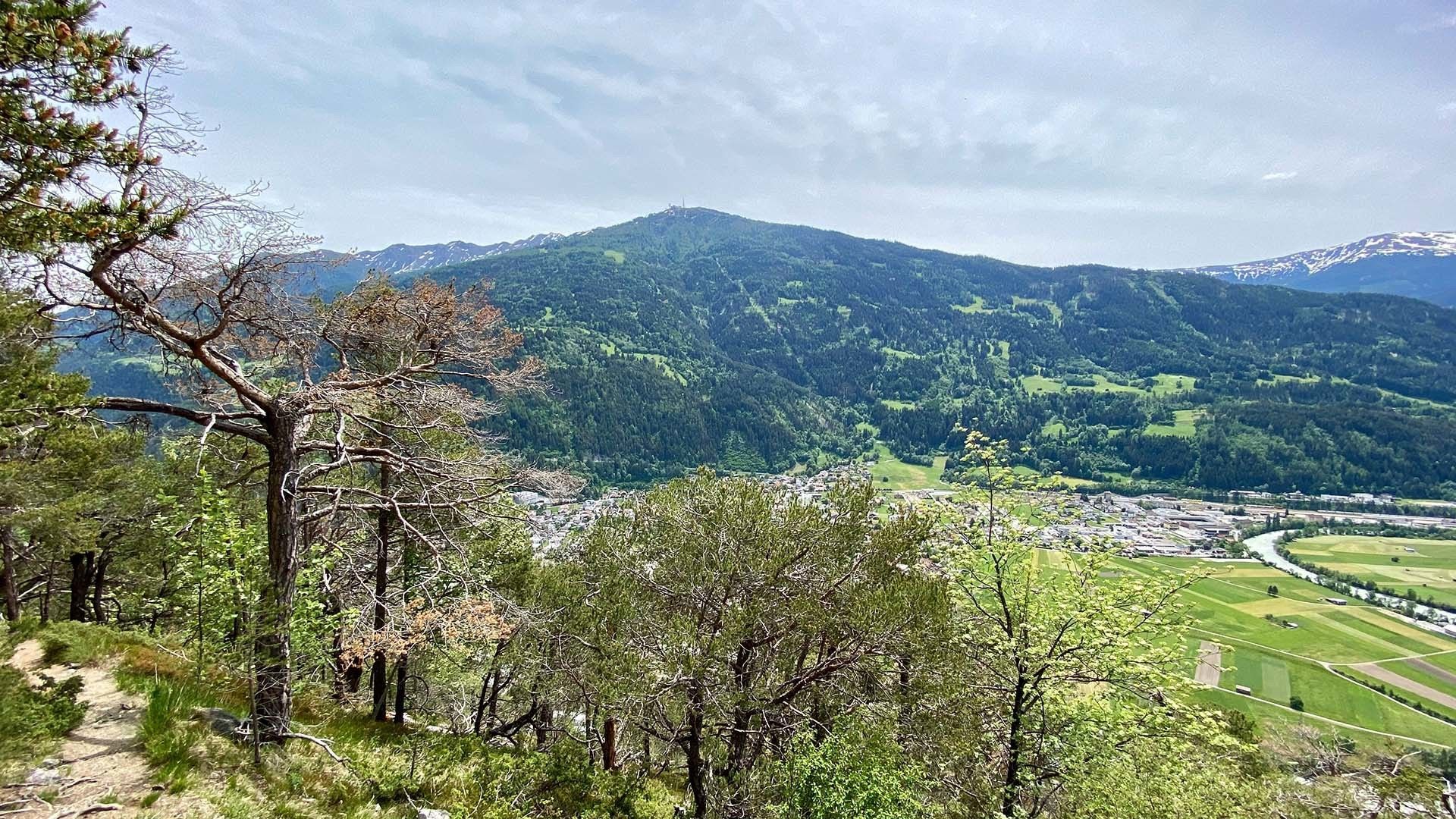
From the Burschlboden, a green area with a beautiful view over Zams, Landeck and the Krahberg, the path leads in steep serpentines for approx. 40 minutes to the parking lot of the E5 shuttle. This takes hikers free of charge to the center of Zams and to the valley station of the Venet cable car.
E5 Shuttle (for a fee) from the E5 trailhead to Zams.
There is a stop for bus line 250 located 600 meters from the E5 shuttle stop.


.jpg")


.jpg")


