
To the natural paradise of the Tux Alps!
Correct footwear (sole with a tread, firm hiking shoes)
Clothing (quickly drying, protection against wind, rain and cold)
Sunscreen – ATTENTION: strong sunlight in the mountains! Sunglasses, head protection, sunscreen with a high sun protection factor
First aid kit (gauze bandage, plaster)
Charged mobile phone
Drinks and food (drink plenty of fluid on hikes – but avoid alcohol!)
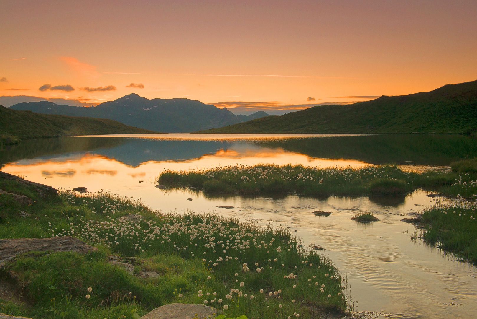
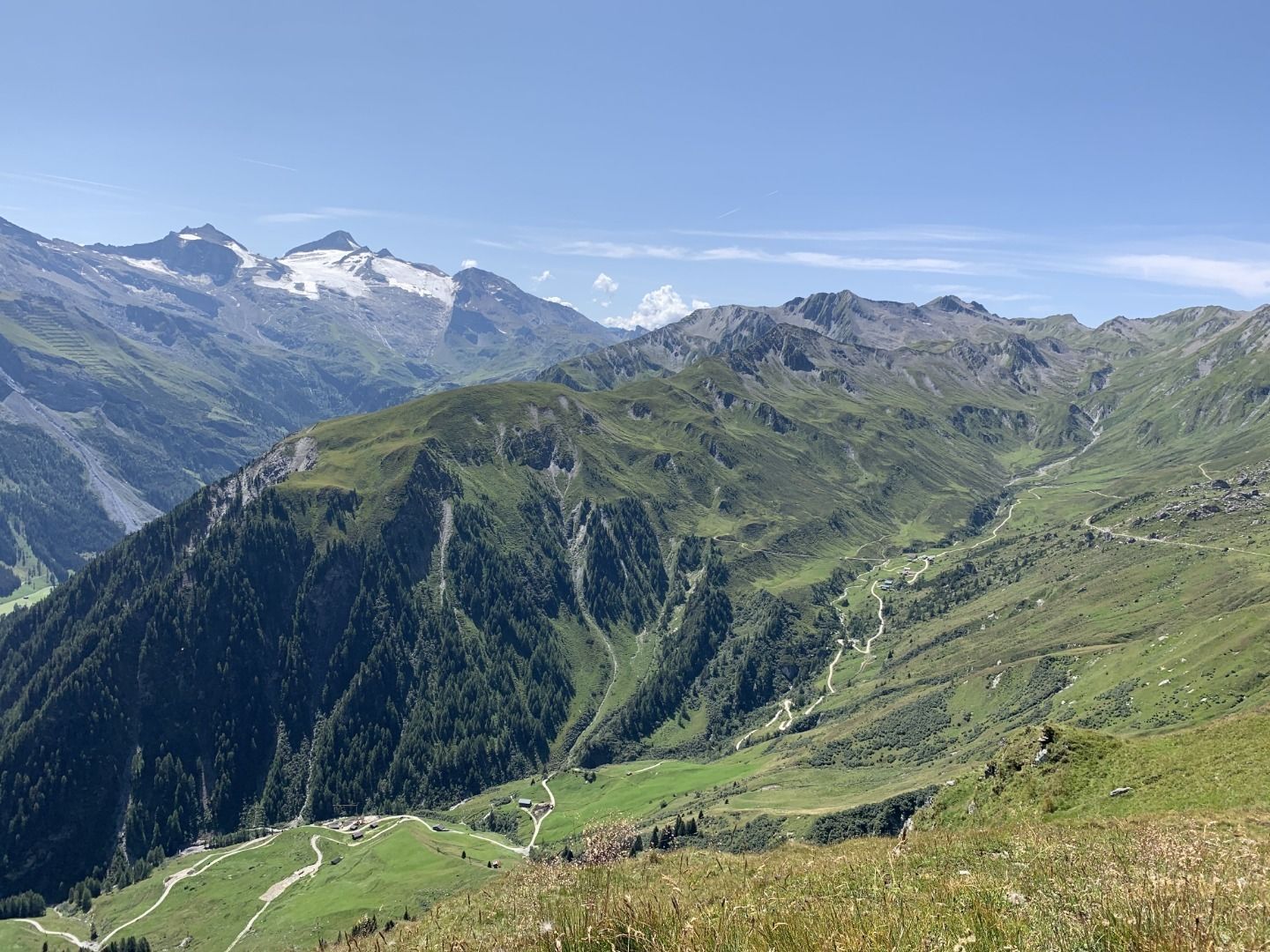
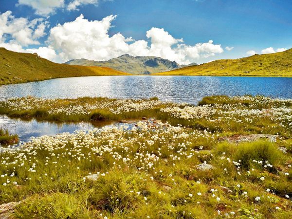
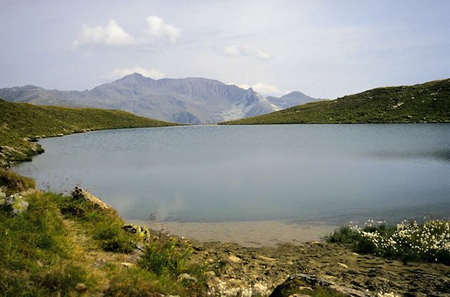
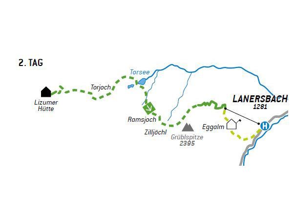
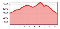
From the Lizumer Hut, we continue the hike toward Torjoch (No. 321). For a short stretch, we follow a slightly wider path before the trail branches off to the left at a signposted fork. At the first rise, a hummocky alpine meadow, we keep to the right and do not follow the various trails leading to the left. After an enjoyable climb, we first reach a clearing where a small pond can be found at times, and then the Torjoch (2,386 m)—to our left rises the Graue Wand (2,594 m). From the pass, we hike across an almost Scandinavian-looking plateau (No. 45) toward Torsee. This lake is not only ideal for a long break but is particularly fascinating in midsummer, offering a magnificent natural spectacle when large sections of its eastern shore are covered in cotton grass. From the lake, we keep to the right toward the Ramsjoch and Grüblspitze. The route leads first through pleasant alpine pastures and then becomes steeper over rocks and scree to the panoramic Ramsjoch (2,508 m). There stands the so-called “Regulars' Cross,” a very popular photo spot with the Hintertux Glacier in the background. From the Ramsjoch, we wind our way down a steep grassy slope to the Zilljöchl. Caution is advised on this section, especially when it's wet! From the Zilljöchl, it’s just a few minutes’ walk to the Grüblspitze (2,395 m), which towers over the Tux Valley like a pyramid. To the right, the trail leads back down to Stoankasern. Once we’ve had our fill of the view, we take Trail No. 35 for the final stretch to the Eggalmbahn mountain station. First, we walk a good distance along the ridge before tackling the final switchbacks to the Eggalmbahn via a forest road. The cable car then takes us down to Lanersbach in the Tux Valley in a way that’s easy on the knees, comfortable, and relatively inexpensive (last descent at 4:30 p.m., operating from mid-June to mid-October)
Bus Line 4104
Stop on Day 2: Lanersbach Eggalmbahnen/Tux-Center


