
Difficulty:difficult
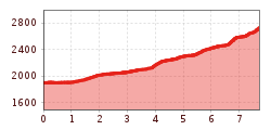
Length:7.9 kmDuration:4:15 hElevation uphill:511 m
Niederreichsscharte
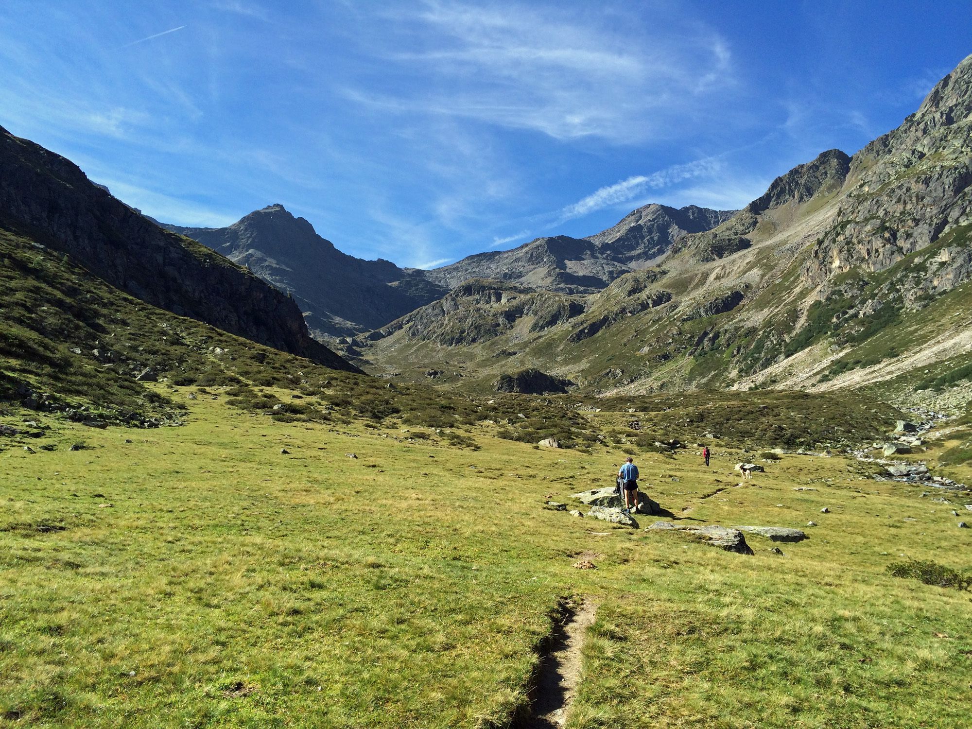
Walk past the power station into the Längental valley until you come to the boulder with the inscription "Talschluss". From there, cross the fairly wide stream at a convenient point and continue along the path on the right-hand side of the stream. After completing a stretch that gradually climbs uphill over scree fields and passes several small ponds, you will reach the end of the valley and the Niederreichscharte wind gap. The return route follows the same path as the ascent.

.jpg")


.jpg")
.jpg")


