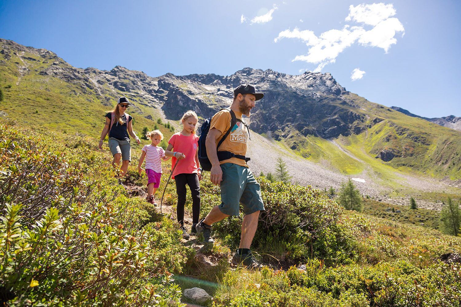
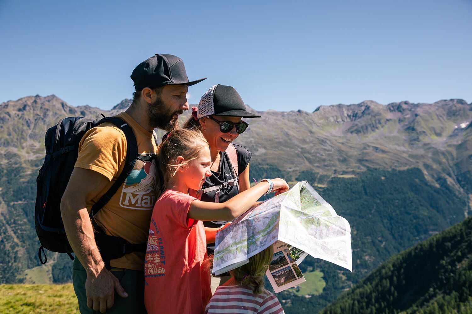
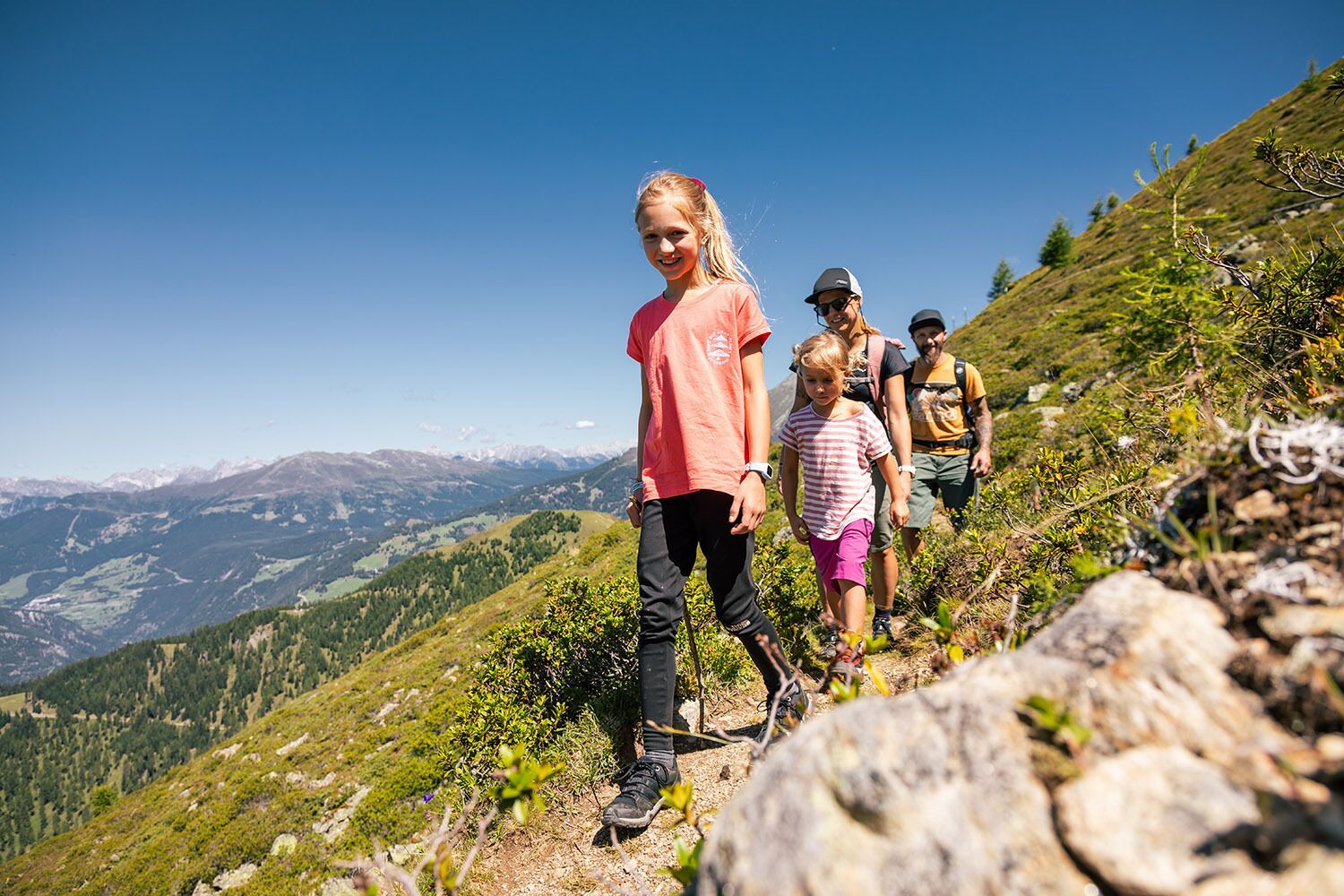
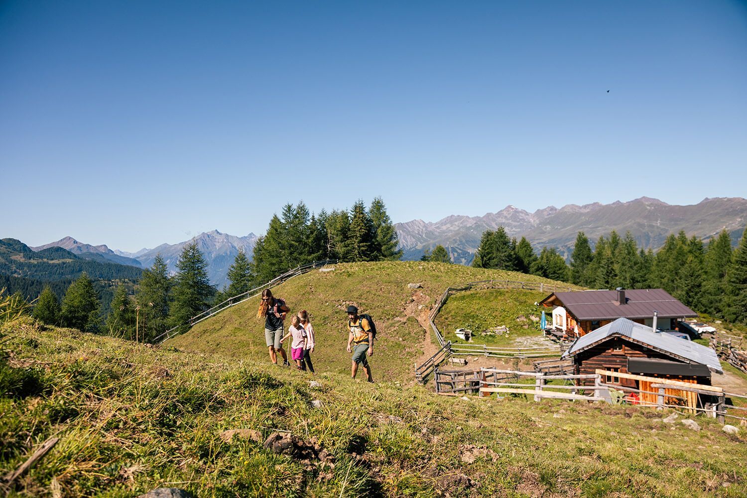
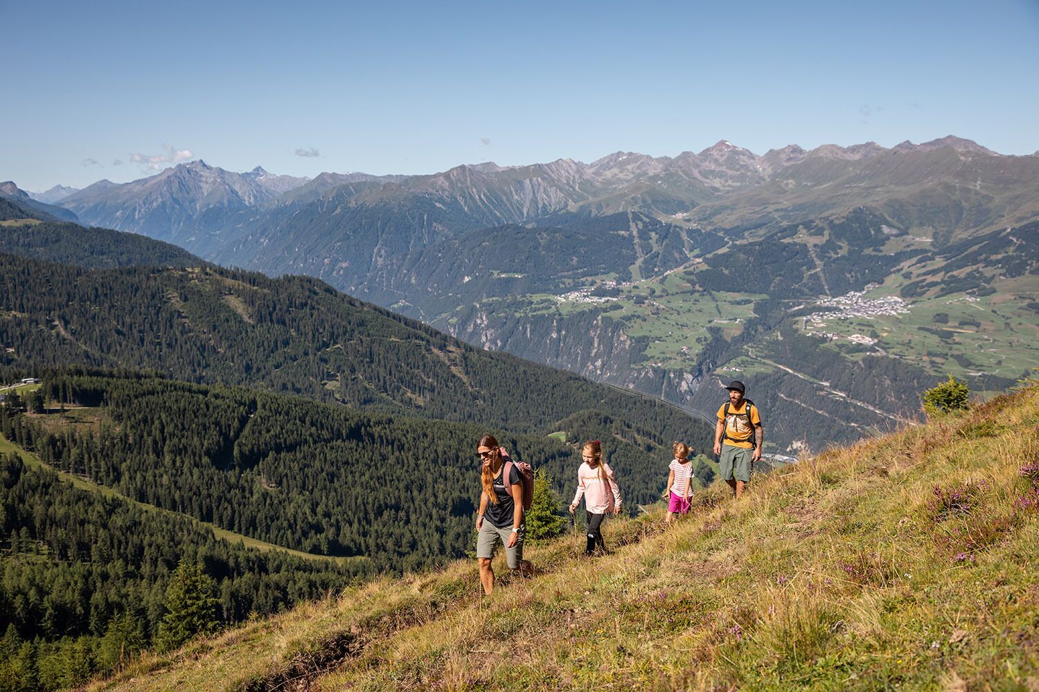
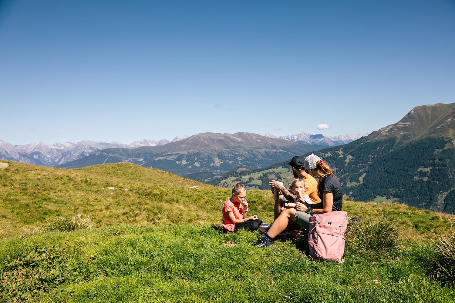
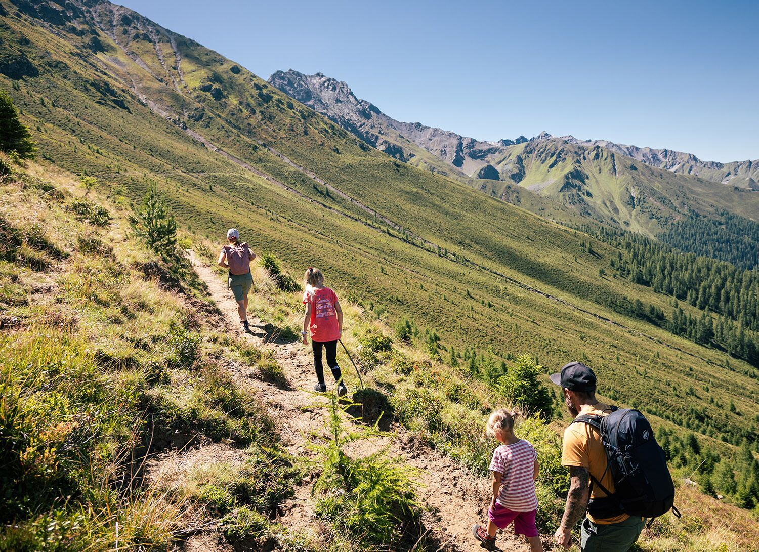
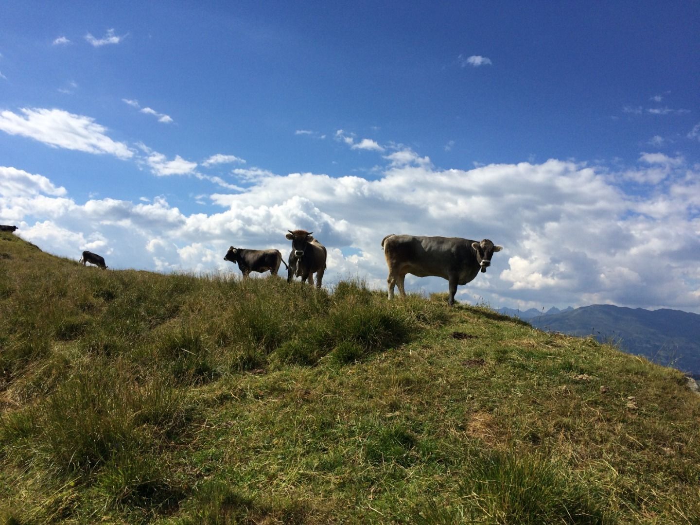
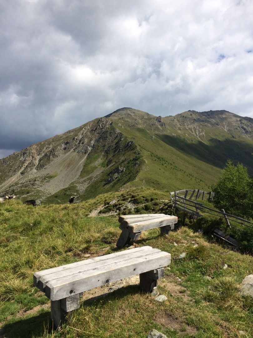
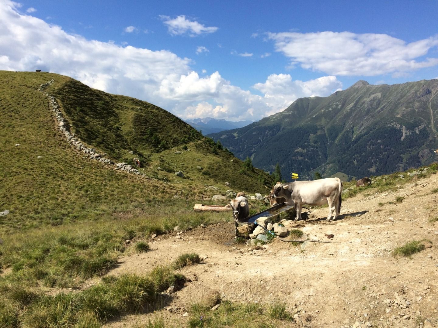
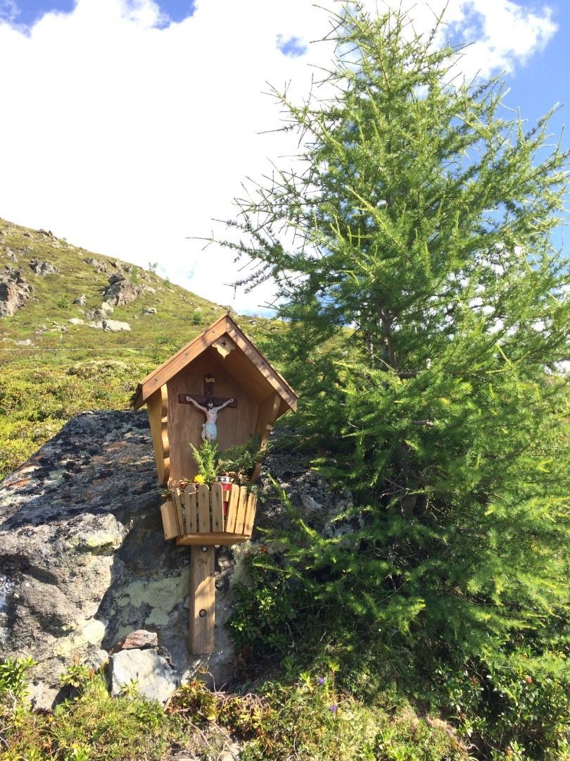
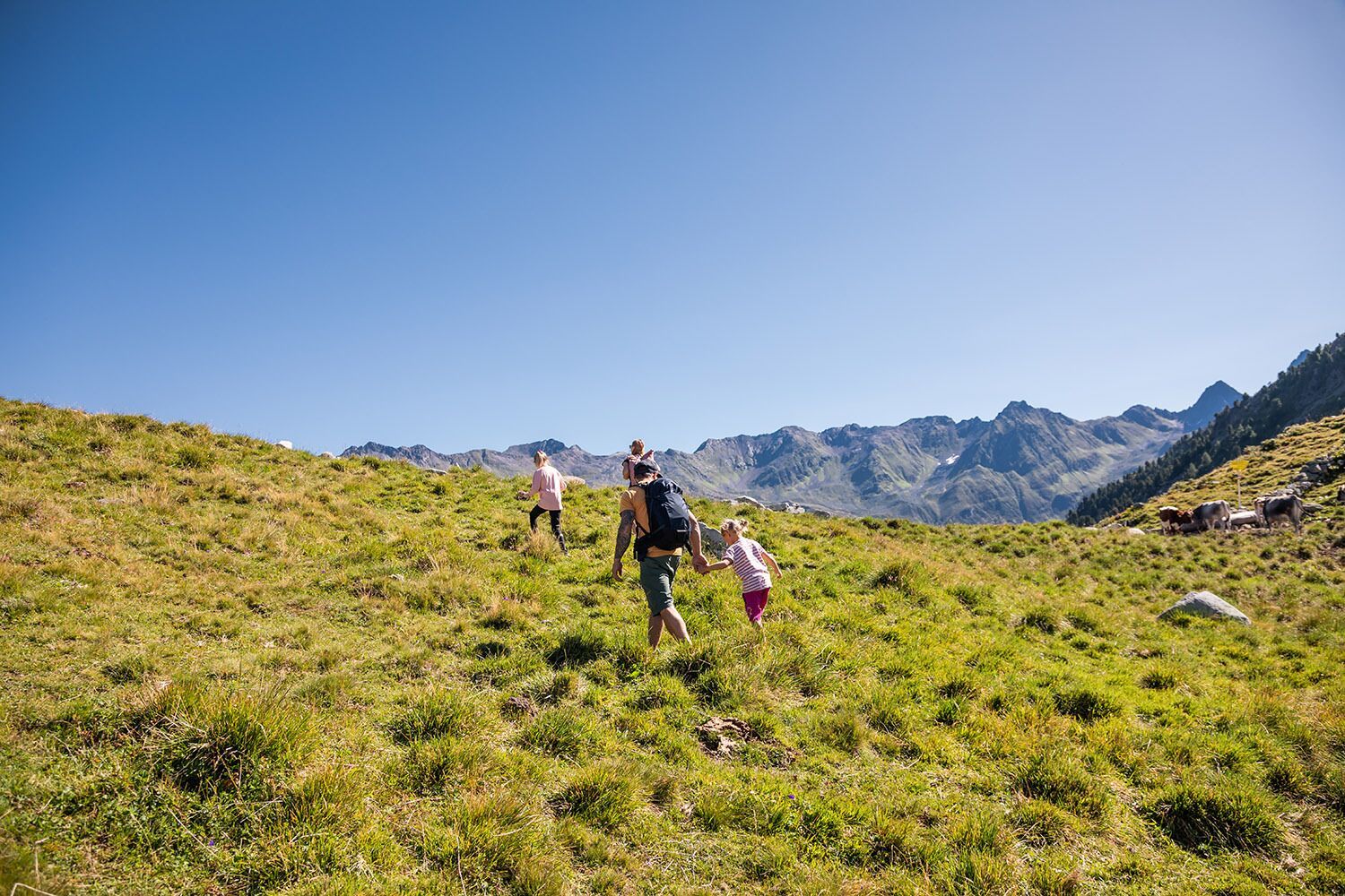
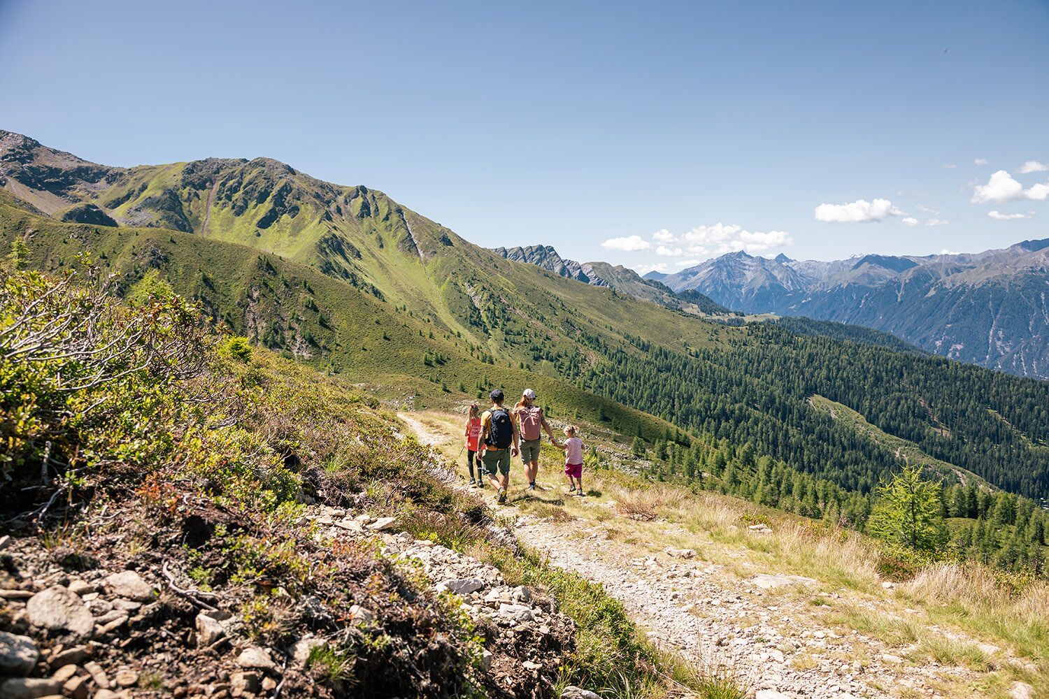
Aussichtsreiche und kurzweilige Höhen-Rundwanderung über den Ochsenkopf und durch leuchtend rote Almrosenfelder zur Fendler Alm.
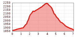
Open interactive mapOpen this POI on the interactive mapElevation profileOchsenkopf (2.153 m) und Fendler Alm (1.970 m).gpx
Schwarzer and Grüner SeeDifficulty: easy Length: 8.3 km Duration: 4:30 h Elevation uphill: 368 m See trailSee trail: Schwarzer and Grüner See
Nauders mountain trailDifficulty: medium Length: 18.0 km Duration: 7:00 h Elevation uphill: 407 m See trailSee trail: Nauders mountain trail
Winterwanderweg Aussichtsplattform Adlerblick (Kaunertal)Opening hours: closed Difficulty: easy Length: 3.2 km Duration: 2:30 h Elevation uphill: 372 m See trailSee trail: Winterwanderweg Aussichtsplattform Adlerblick (Kaunertal)
Großer MutzkopfDifficulty: easy Length: 10.3 km Duration: 4:00 h Elevation uphill: 507 m See trailSee trail: Großer Mutzkopf
Talwanderweg KaunertalDifficulty: easy Duration: 2:30 h Elevation uphill: 295 m See trailSee trail: Talwanderweg Kaunertal
Winter walk Schwarzer See, NaudersDifficulty: easy Length: 10.5 km Duration: 3:30 h Elevation uphill: 255 m See trailSee trail: Winter walk Schwarzer See, Nauders
Evening winter hike Kleinmutzkopf, NaudersDifficulty: easy Length: 6.0 km Duration: 2:00 h Elevation uphill: 70 m See trailSee trail: Evening winter hike Kleinmutzkopf, Nauders
Ötztal Trek Stage 15Difficulty: difficult Length: 6.5 km Duration: 2:30 h Elevation uphill: 332 m See trailSee trail: Ötztal Trek Stage 15
Wallfahrtsweg Kauns (1.050 m) - Kaltenbrunn (1.287 m)Difficulty: easy Length: 9.2 km Duration: 3:30 h Elevation uphill: 290 m See trailSee trail: Wallfahrtsweg Kauns (1.050 m) - Kaltenbrunn (1.287 m)
Rundwanderung FrudigerDifficulty: medium Length: 13.5 km Duration: 5:00 h Elevation uphill: 588 m See trailSee trail: Rundwanderung Frudiger
Kapelle Maria SchneeDifficulty: easy Length: 1.7 km Duration: 0:30 h Elevation uphill: 90 m See trailSee trail: Kapelle Maria Schnee
Klammsteig - GreitOpening hours: closed Difficulty: medium Length: 8.8 km Duration: 3:00 h Elevation uphill: 469 m See trailSee trail: Klammsteig - Greit
Winter hike Pfunds | Wild animal enclosure "FeichtiOpening hours: closed Difficulty: easy Length: 900 m Duration: 0:40 h Elevation uphill: 105 m See trailSee trail: Winter hike Pfunds | Wild animal enclosure "Feichti
VerpeilschluchtOpening hours: closed Difficulty: medium Duration: 3:00 h Elevation uphill: 386 m See trailSee trail: Verpeilschlucht
Give feedback for a chance to win a special holiday experience!Click here for the surveyClick here for the survey
.jpg")
.jpg")

.jpg")

.jpg")
.jpg")

.jpg")
.jpg")
")
.jpg")
.jpg")

