Mountain hikes Over the Thaurer and Vintl Alm

Thaur / Karwendel
Difficulty ratings: medium
Route length: 13.8 km
Duration: 5:00 h

From Thaur, it goes over the Thaurer Alm to the Vintl Alm. The descent takes place via the Rumer Alm.

Tour information

  • Requirement: medium
  • Length: 13.8 km
  • Duration: 5:00 h
  • Elevation uphill:1,037 hm
  • Elevation downhill:1,027 hm
Highest point1,600 m

Starting point

Thaur

Finishing point

Rum
  • Fitness level 4 / 6

Best time of year

  • January
  • February
  • March
  • April
  • May
  • June
  • July
  • August
  • September
  • October
  • November
  • December
Source: Region Hall - Wattens

Description

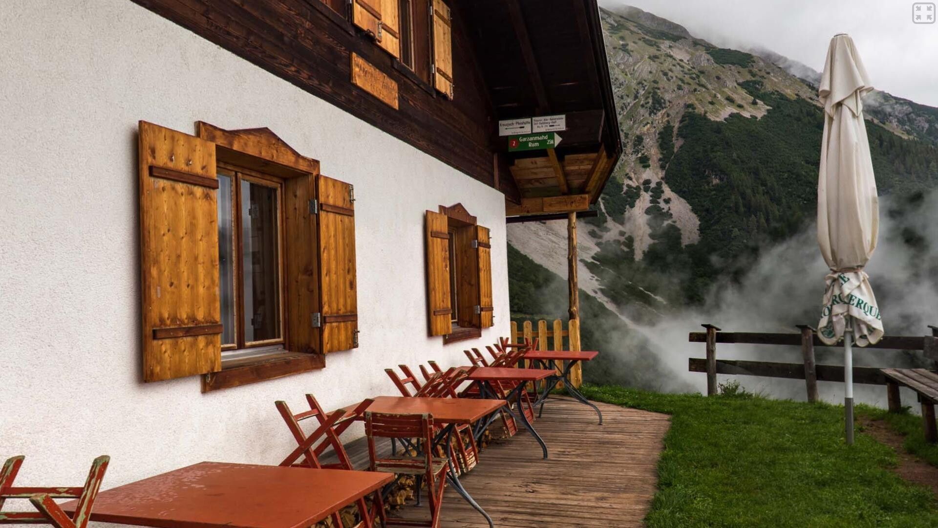
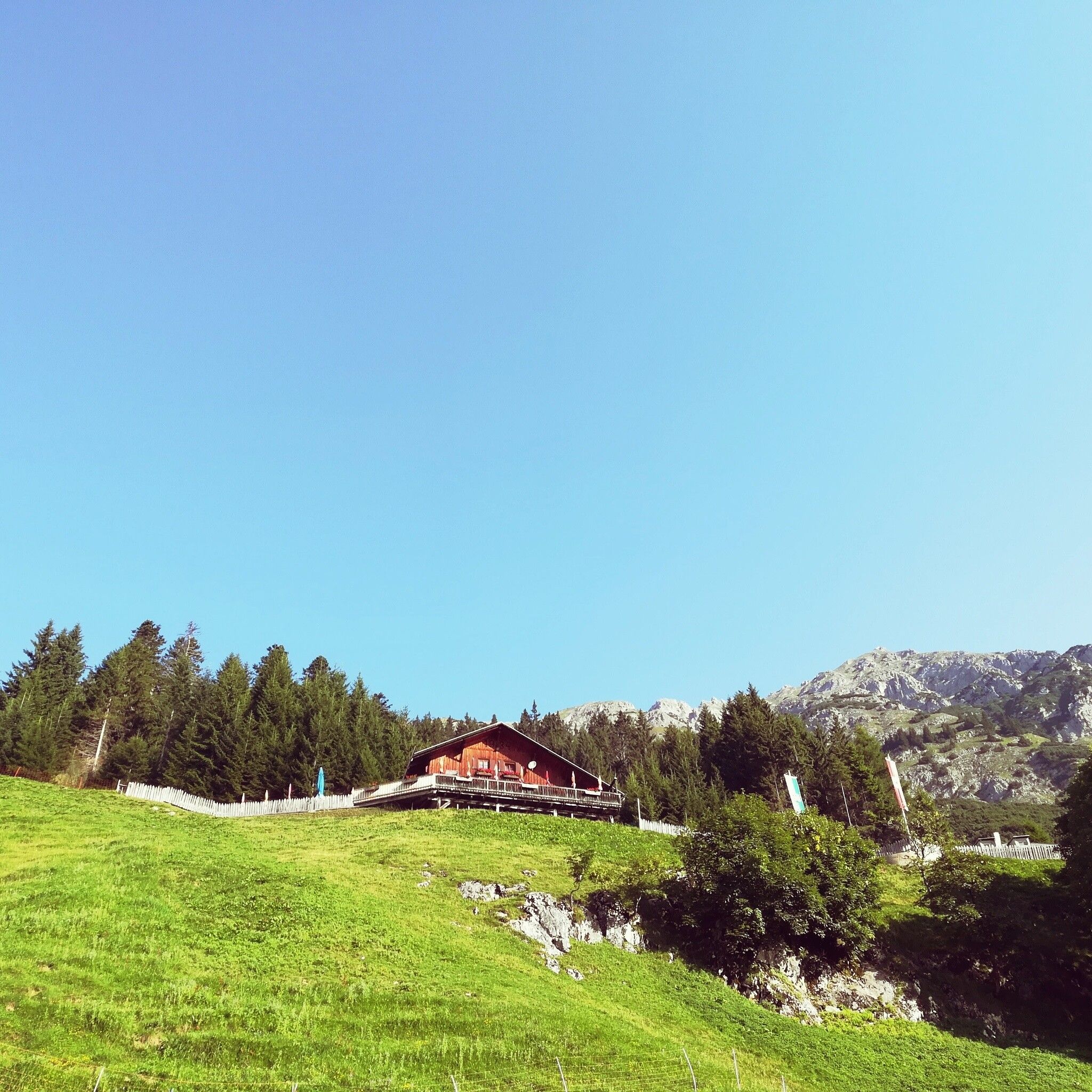
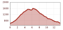
From Thaur we hike up to the Romediwirt and continue upwards following the signs towards Thaurer Alm. Behind the Thaurer Alm, we follow the wide cart track towards Vintl Alm. From the Vintl Alm, it continues over a narrower forest path with great views and then down to the Rumer Alm and further to Rum or Arzl. From there, take the bus back to the starting point.

Nearby huts and mountain restaurants

Getting here

  • Arrival by public transport

    By bus 501/502/503 to Thaur Mitte

  • Parking

    Thaur - Thaurer Alm hiking parking lot

More tours in the surrounding area

Newsletter

The mountain is calling? So does our newsletter!

In our monthly newsletter we reveal the best holiday tips for Tyrol.