.jpg")
Difficulty:
easy
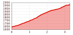
Length:
10.5 km
Duration:
3:30 h
Elevation uphill:
255 m
Rauher Kopf
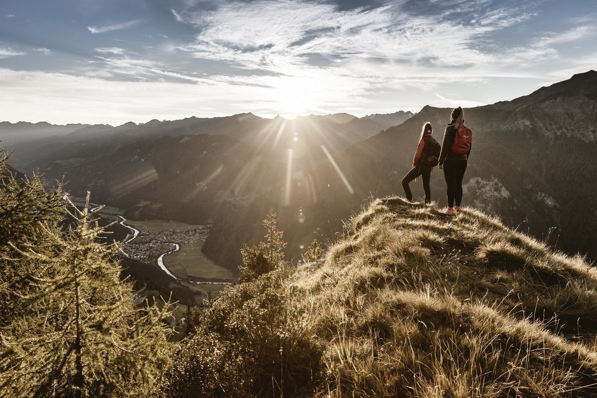
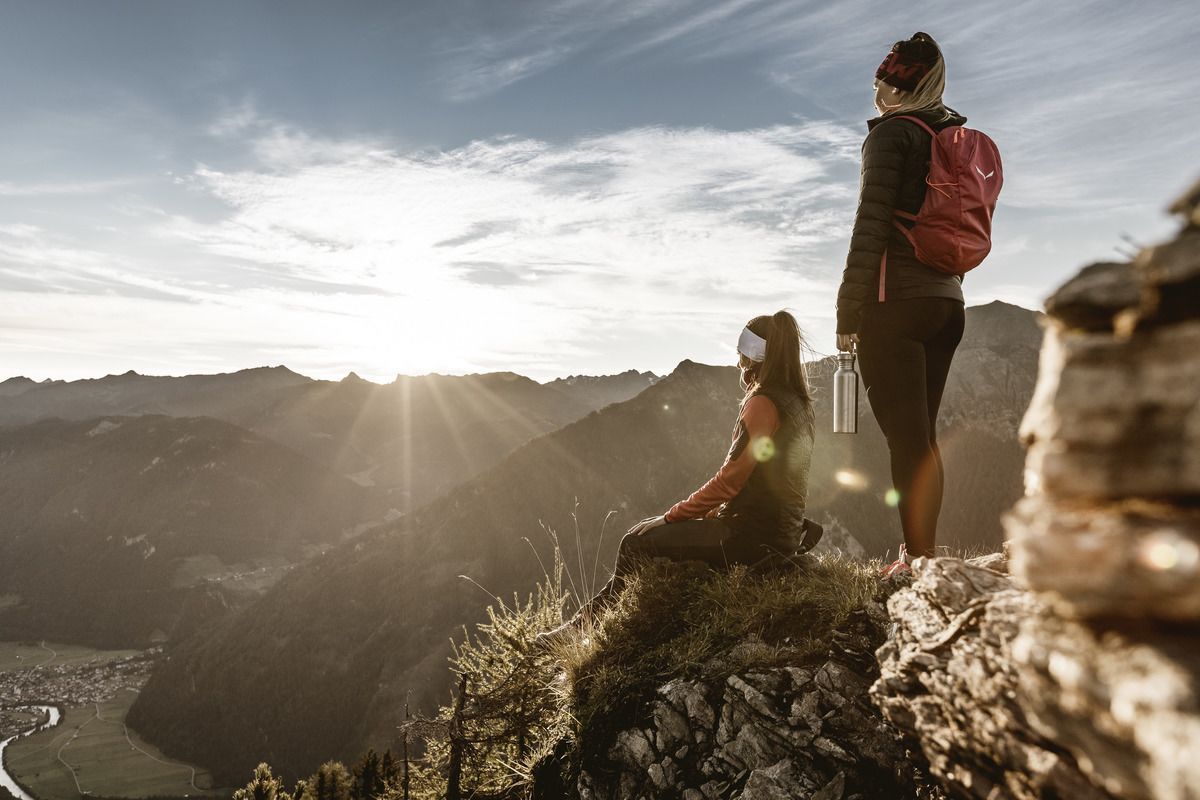
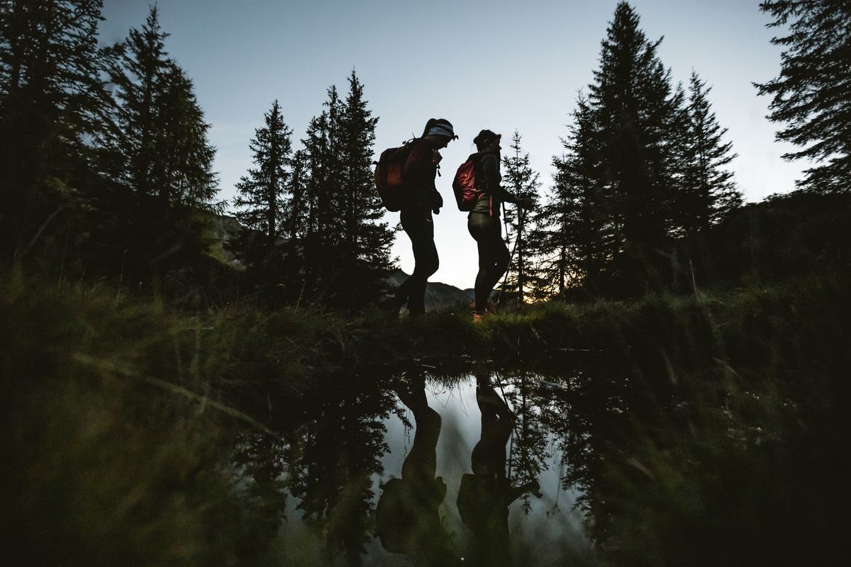
Drive up the Kobl to the Kobler Alm car park. Along the alpine path, through lush pastures, up to the alp where you have a wonderful view of Pfunds and the surrounding mountains. Passing the alpine pasture, the trail heads towards Spiss, where a path soon branches off left into the high forest. This path no. 20 leads up to the summit. Astonished by the fantastic view into the neighbouring Engadine over the Reschensee to the Ortler massif and to Pfunds.
Tip: every Friday there is a hiking bus to the Kobl & every Wednesday in the high season there is also a sunrise hike on advance booking!
.jpg")
.jpg")
.jpg")

.jpg")

.jpg")

.jpg")
")
.jpg")
.jpg")
.jpg")

