
Opening hours:Today closed
Place:
Tux
:
Restaurant, Alpine pasture / hut / mountain restaurant
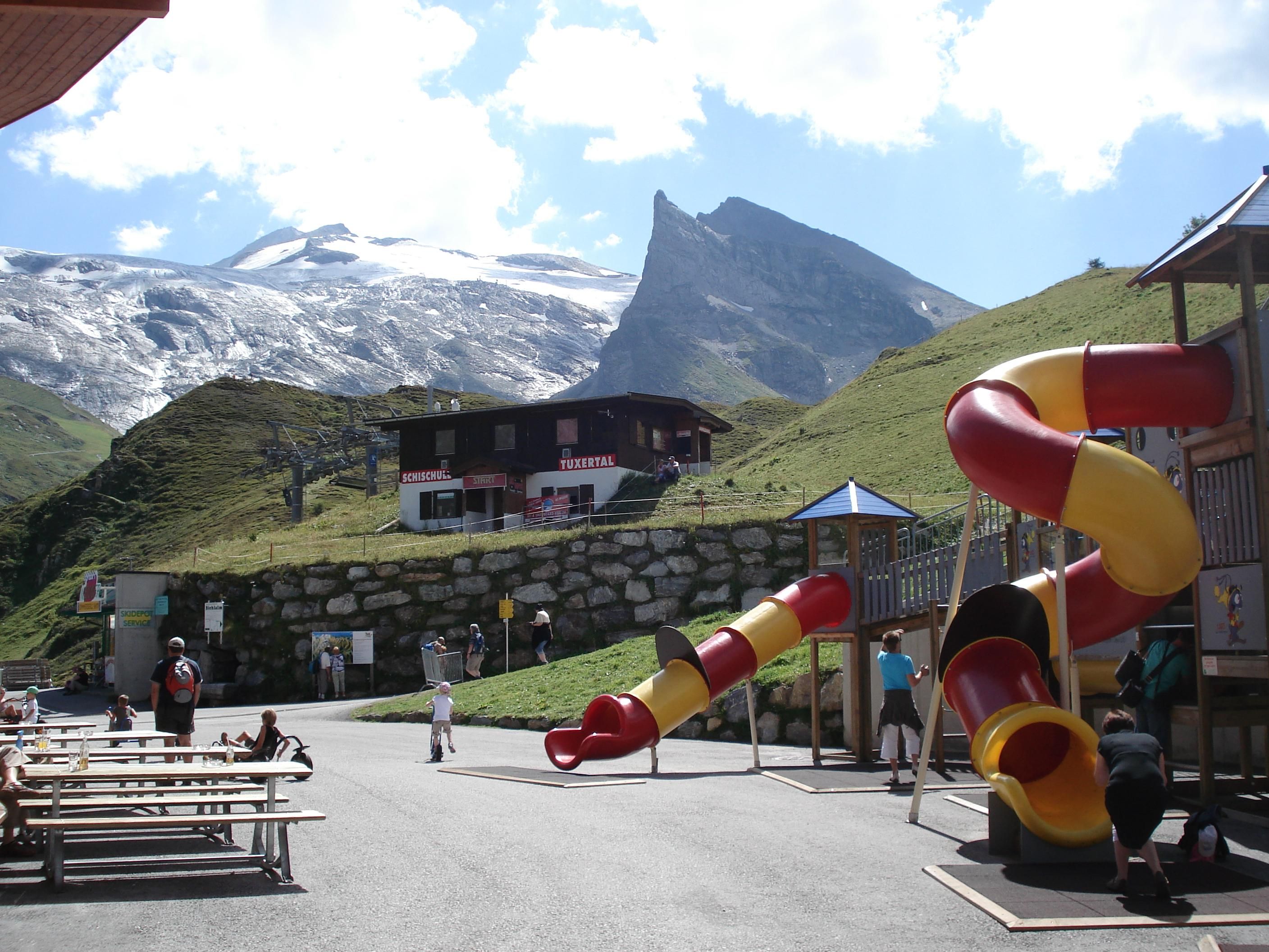
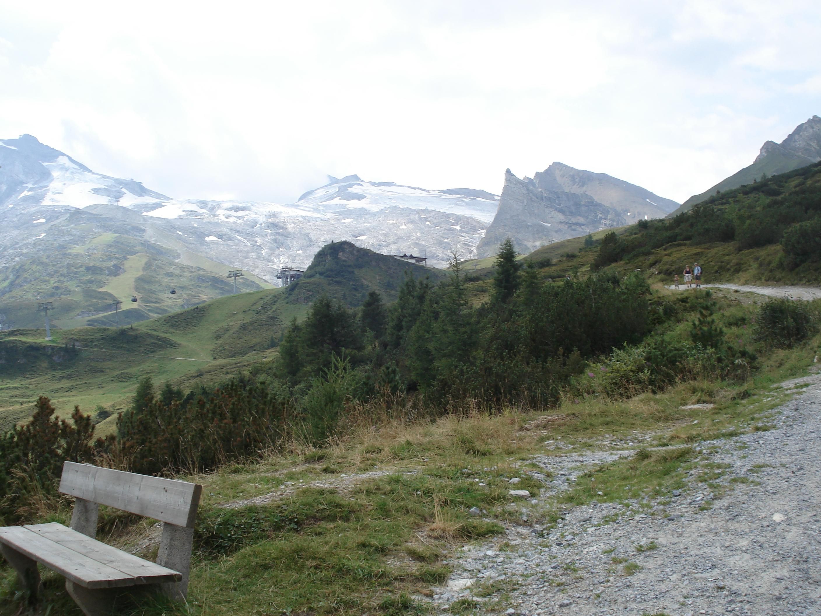
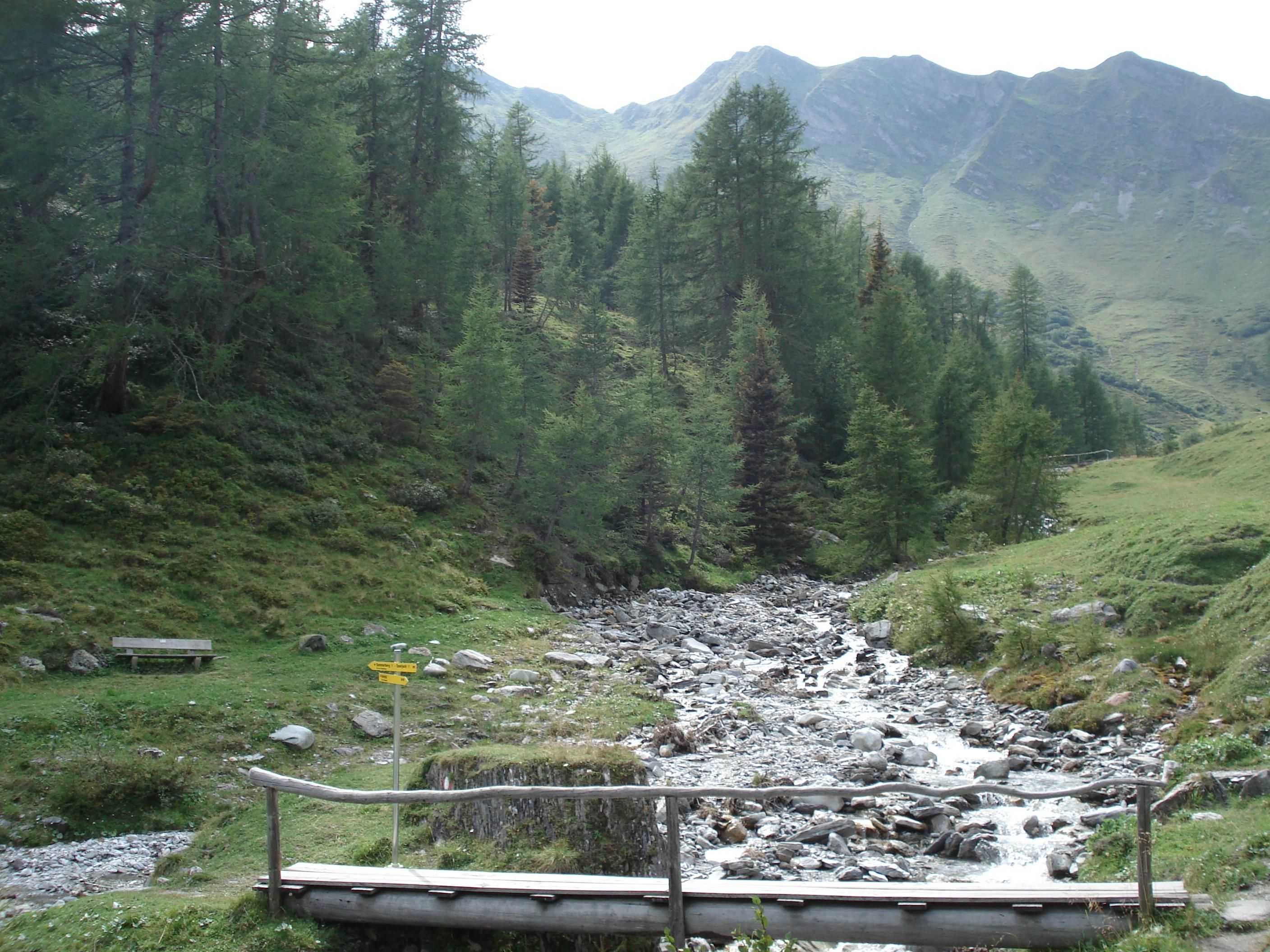
Atmospheric descent from the mountain station through the idyllic Weitental valley - with fresh mountain air, the sound of a stream and a view of Hintertux.
Correct footwear (sole with a tread, firm hiking shoes)
Clothing (quickly drying, protection against wind, rain and cold)
Sunscreen – ATTENTION: strong sunlight in the mountains! Sunglasses, head protection, sunscreen with a high sun protection factor
First aid kit (gauze bandage, plaster)
Charged mobile phone
Drinks and food (drink plenty of fluid on hikes – but avoid alcohol!)
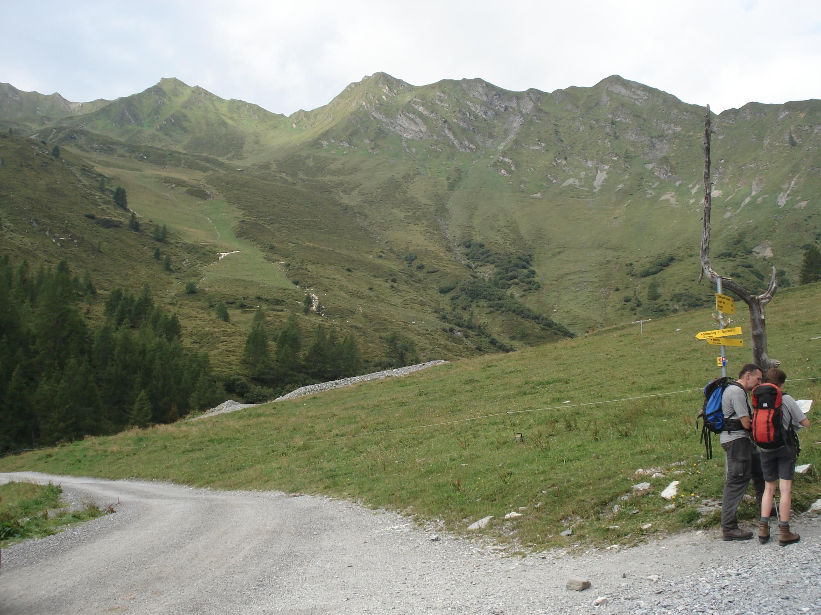
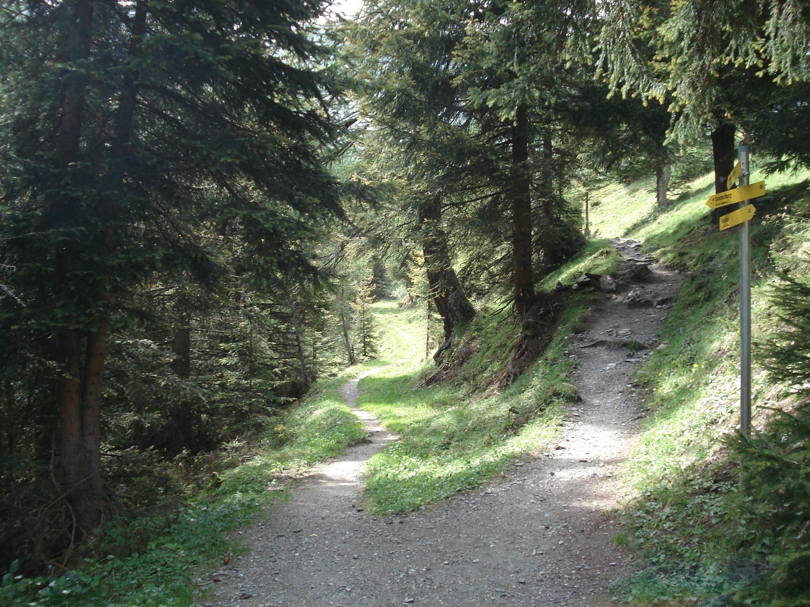
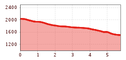
Turn right at the top station of the glacier cable car and make your way down the goods track (path AV no. 324) to the Weitentalbach (stream). Cross over and join up with the cart track (no. 17) which brings you along to the Bichlalm and thence down to Hintertux via path no. 15.
Linienbus
4104
Bus stop Tux-Juns Dr. Peer oder Tux-Hintertux Gletscherbahn
Day parking lot Hintertux Glacier


")


")


