
Difficulty:medium
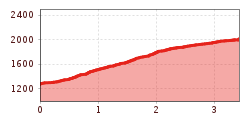
Length:7.0 kmDuration:5:30 hElevation uphill:1,000 m
St. Quirin to the Sellrainer Höhenwanderweg (the Sellrain Valley high-altitude hiking trail)
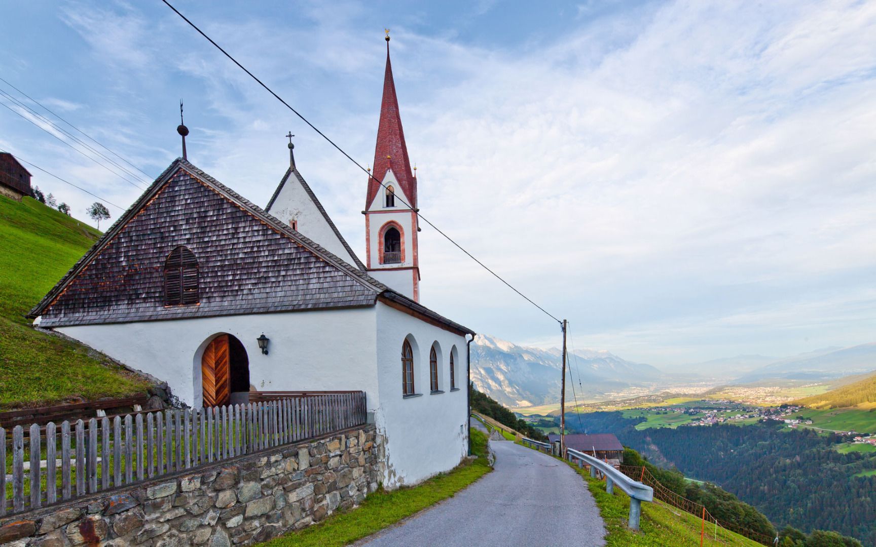
From St. Quirin, a particularly scenic access route leads to the Sellraintal high-altitude trail. The varied path climbs via Meils and the picturesque Rifflkreuz, passing through quiet forests and sections with lovely views before reaching the trail. After about 3.4 km, you arrive at this impressive panoramic route – ideal for continuing your hike.
Descending back to St. Quirin is also possible but mainly makes sense when coming down from the high trail – this route is therefore best suited as either an ascent or descent, rather than a round trip.


.jpg")


.jpg")


.jpg")


