Summit hikes Summit hike: Ginzling Schlegeis reservoir - Rotbachlspitze

Finkenberg, Zillertal / Zillertaler Alpen
Difficulty ratings: difficult
Route length: 16.9 km
Duration: 6:30 h

Begin your adventure at Zamsgatterl by the Schlegeis reservoir and follow the trail through the idyllic Pfitschergrund to the rocky ascent to Pfitscherjochhaus, 2.276 m. Just before reaching the Pfitscherjochhaus, turn left and climb to the summit of Rotbachspitze, 2.897 m.

Tour information

  • Requirement: difficult
  • Length: 16.9 km
  • Duration: 6:30 h
  • Elevation uphill:1,100 hm
  • Elevation downhill:1,100 hm
Highest point2,897 m

Starting point

Jausenstation Zamsgatterl, Schlegeis Stausee, 6295 Ginzling

Finishing point

Jausenstation Zamsgatterl, Schlegeis Stausee, 6295 Ginzling
  • Fitness level 4 / 6
  • Technique 4 / 6

Best time of year

  • January
  • February
  • March
  • April
  • May
  • June
  • July
  • August
  • September
  • October
  • November
  • December

Trail condition

  • Well-maintained start at Zamsgatterl
  • Gentle ascent through the Pfitschergrund
  • Rocky and steeper ascent from the end of the valley
  • Narrow mountain paths
  • Some rocky sections
  • Sure-footedness required
  • Steep final ascent to Rotbachspitze

Equipment

-
Source: Zillertal Tourismus GmbH

Description

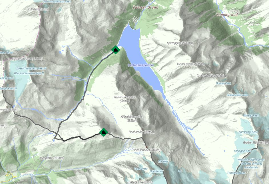
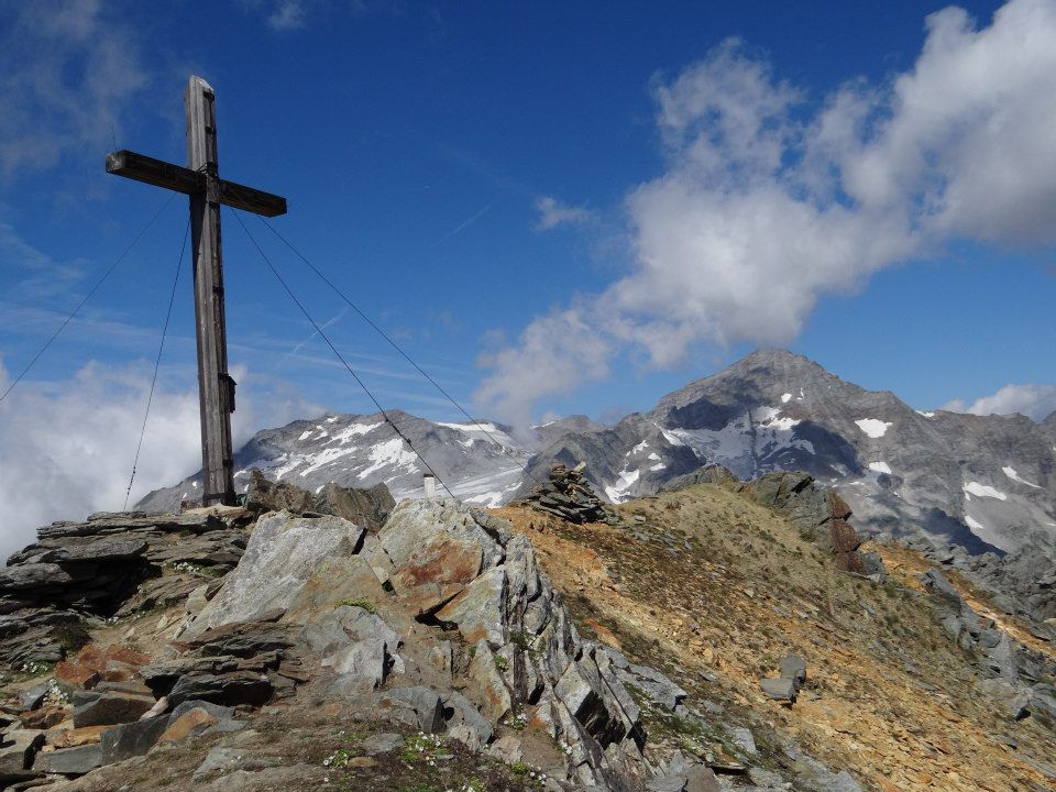
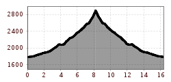
At Zamsgatterl near the Schlegeis reservoir, embark on your adventure by turning right into the inviting Pfitschergrund. Follow the captivating trail No. 524 until you reach the end of the valley. Conquer the short, rocky ascent to Pfitscherjochhaus, 2276 m. Just before reaching Pfitscherjochhaus, turn left and head straight towards the majestic Rotbachspitze, 2897 m.

Nearby huts and mountain restaurants

Getting here

More tours in the surrounding area

Newsletter

The mountain is calling? So does our newsletter!

In our monthly newsletter we reveal the best holiday tips for Tyrol.