Mountain hikes Summit tour: Judenköpfe

Wildermieming / Wetterstein Mountains & Mieming Range
Difficulty ratings: difficult
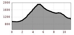
Route length: 11.3 km
Duration: 7:30 h

Summit tour: Judenköpfe

Tour information

  • Requirement: difficult
  • Length: 11.3 km
  • Duration: 7:30 h
  • Elevation uphill:1,124 hm
  • Elevation downhill:1,124 hm
Highest point2,021 m

Starting point

Car park for hikers, Wildermieming

Finishing point

Judenköpfe

Features

  • Circular route

Best time of year

  • January
  • February
  • March
  • April
  • May
  • June
  • July
  • August
  • September
  • October
  • November
  • December

Trail condition

trail
Source: Innsbruck Tourismus

Description

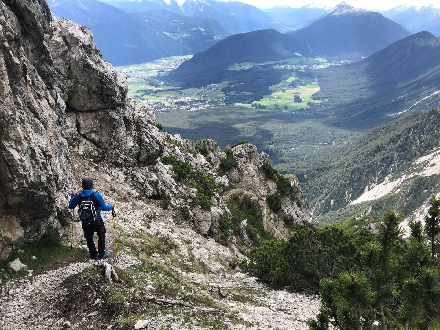
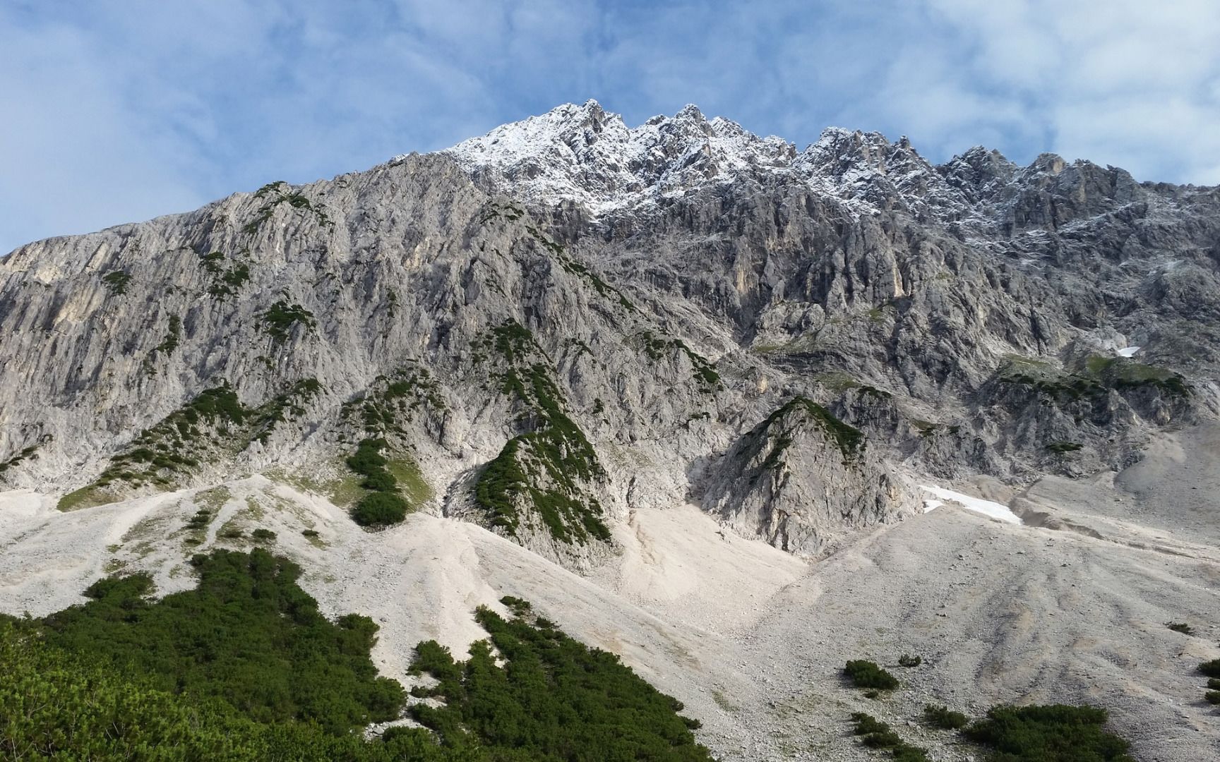
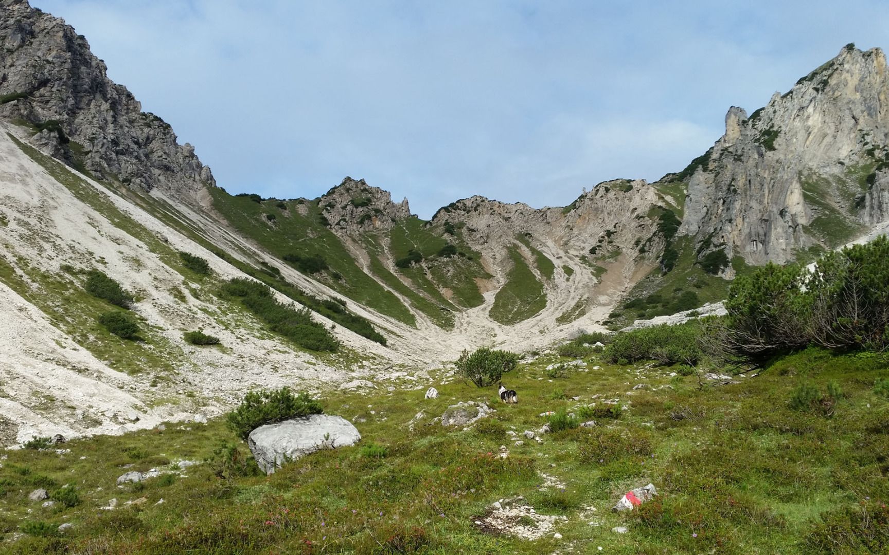
Head west from the hikers' car park along the forest road above Wildermieming until you come to the turn-off for the Iversensteig trail. This challenging mountain path leads steeply uphill to the Iversenhütte mountain hut (not open to the public). From there, the trail continues to the Judenköpfe. Hikers must be sure-footed and have a good head for heights. The hike remains just as challenging as it continues via Judentörl and later downhill along the Alplbach stream to the Neue Alplhütte mountain hut. The descent from there leads along the Alplbachsteig trail ("steinernes Meer" - literally "Rocky Sea") towards the Straßberghaus mountain hut and then along the Ochsenbründlsteig trail back to the car park.
 

Nearby huts and mountain restaurants

Weather

Today

light rain showers
19°C/9°C
80%2.5l5 km/h

Tue

clear sky
20°C/8°C
40%0.7l5 km/h

Wed

partly Cloudy
21°C/8°C
50%0.2l10 km/h
Go to weather forecast

More tours in the surrounding area

Newsletter

The mountain is calling? So does our newsletter!

In our monthly newsletter we reveal the best holiday tips for Tyrol.