
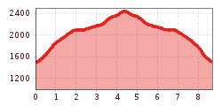
Difficulty:
medium
Length:
7.2 km
Duration:
5:00 h
Elevation uphill:
580 m
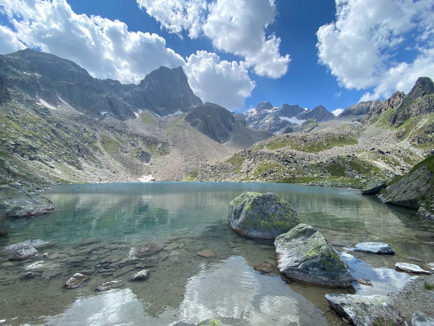
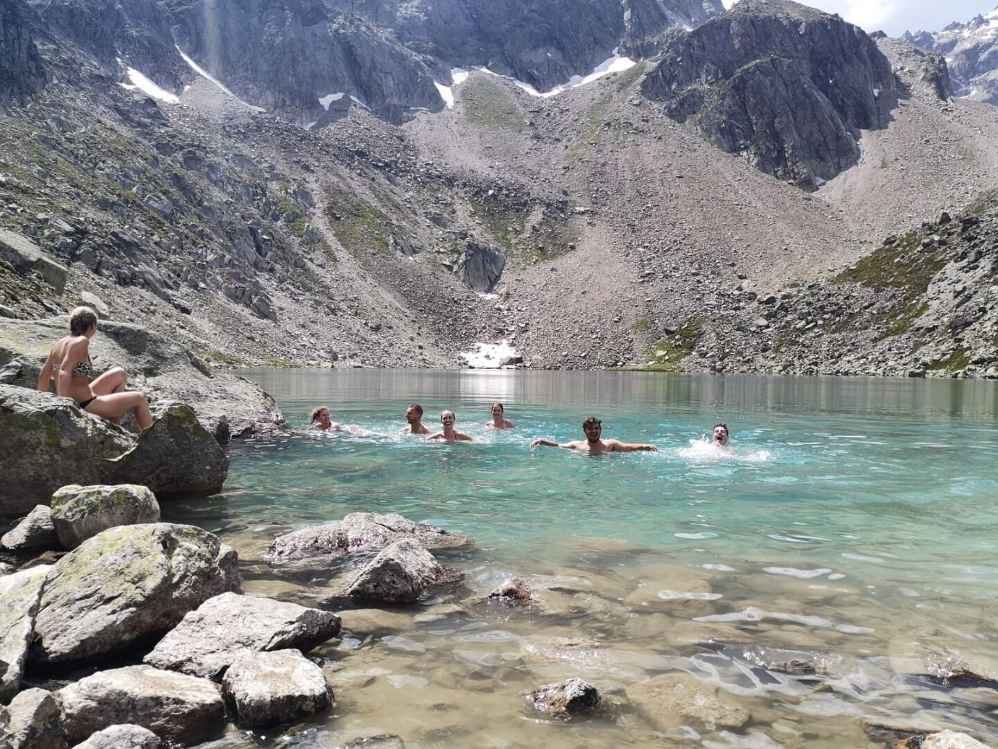
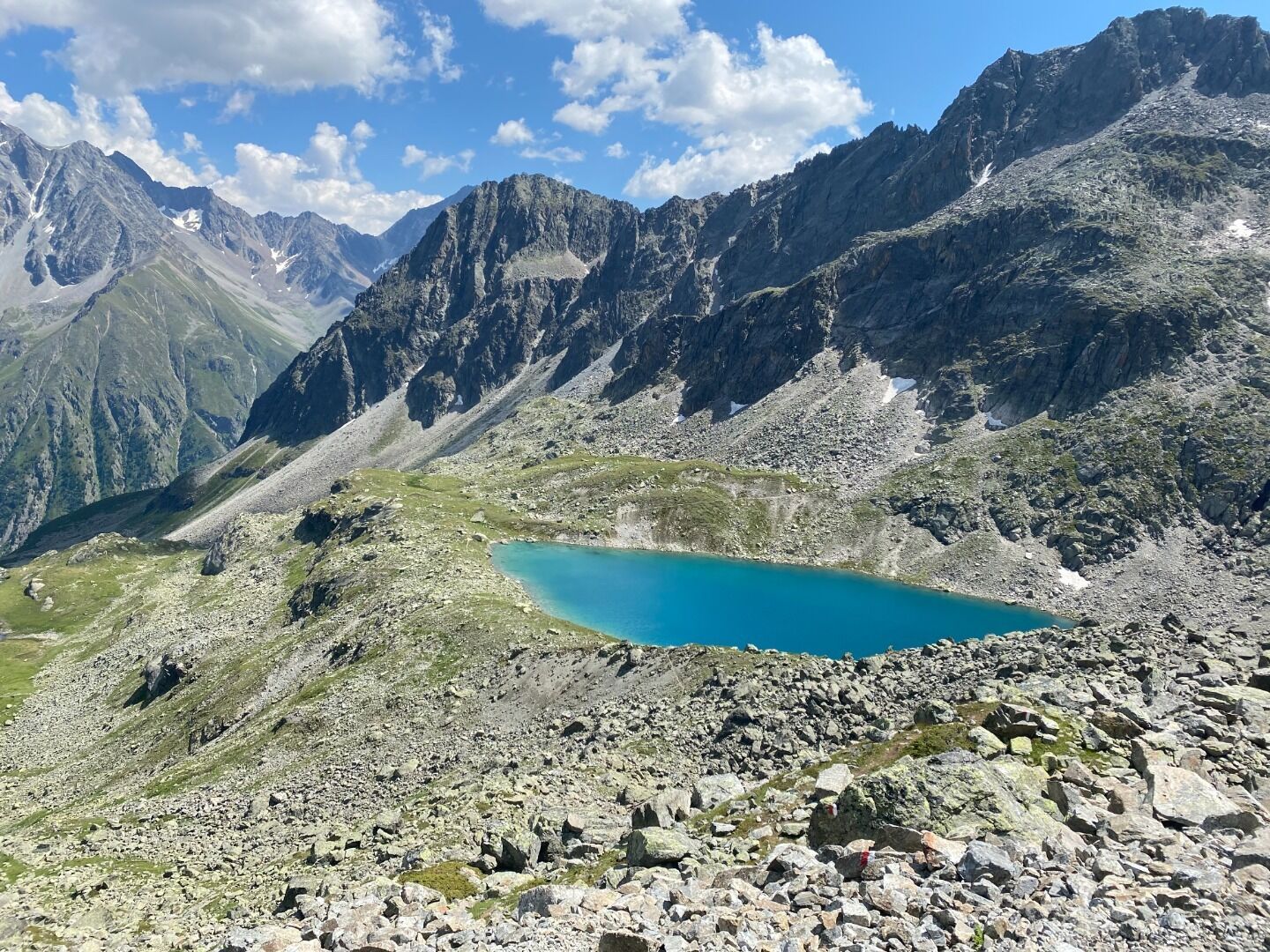
Trail to the Mittelberglesee lake (2,450 m)

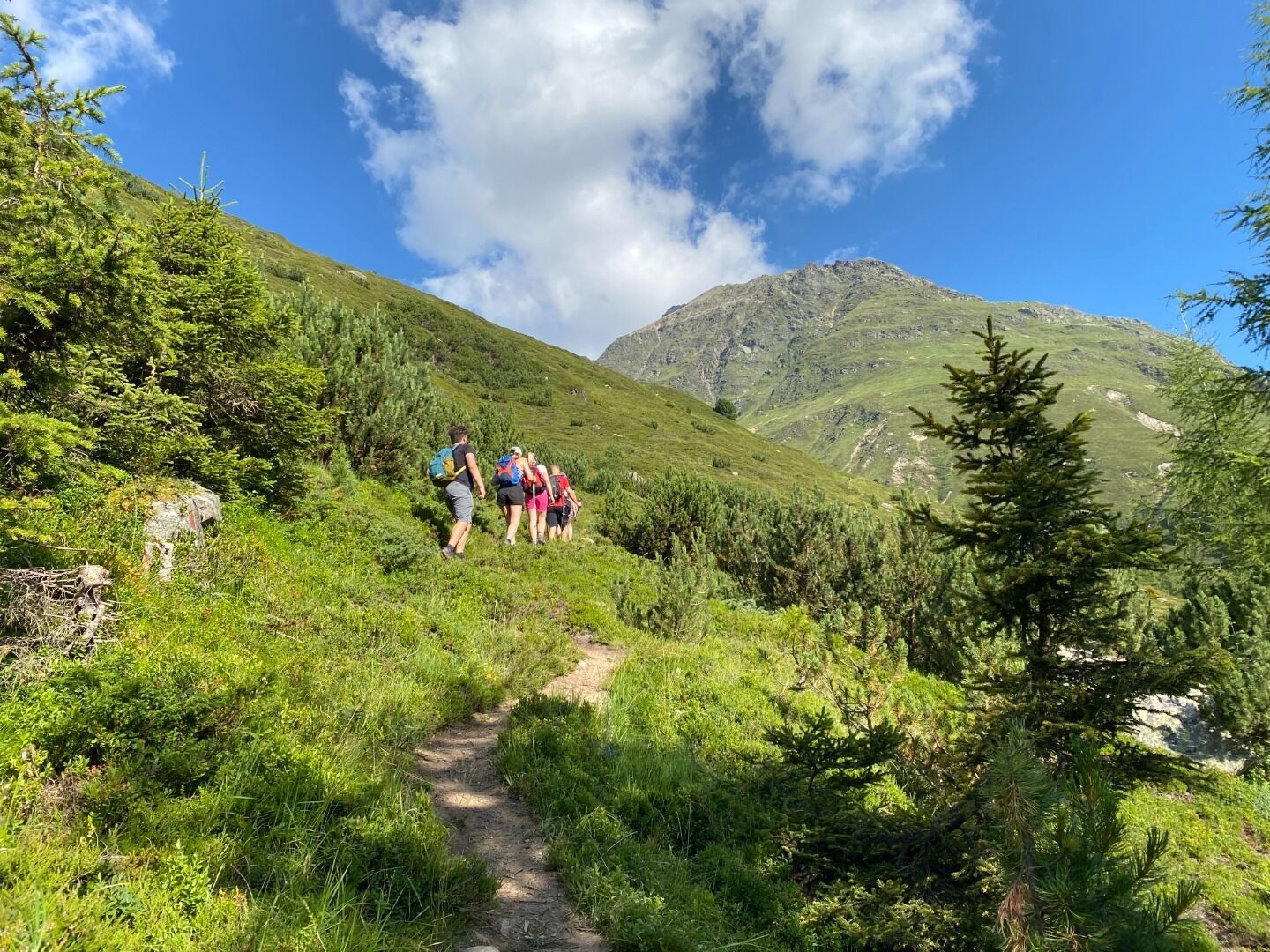
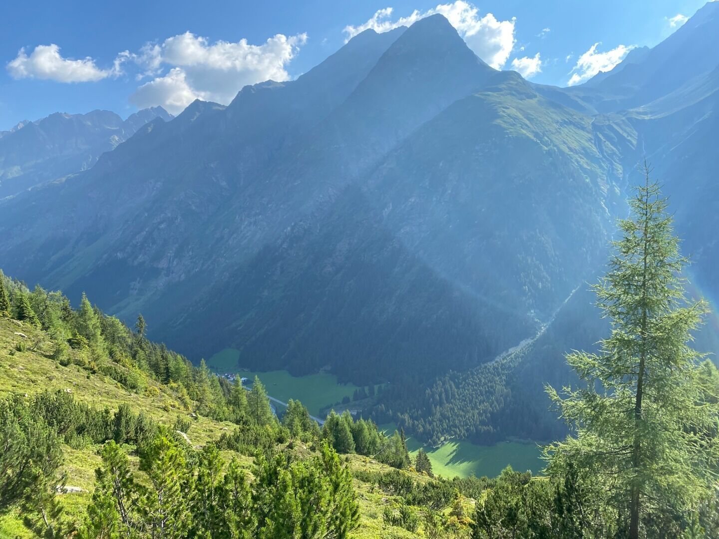
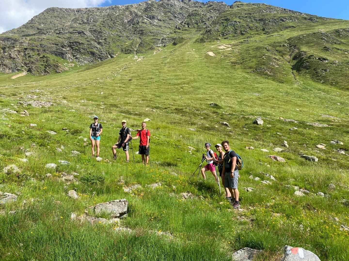
Cross the Pitze river at Trenkwald then turn right in the direction of the waterfall. Next, turn left and continue to walk uphill on a very steep forest track to the abandoned Neururer Alm. This track continues to a ridge, the
Verpeiljoch. The track forks off to the left to the Loabachtal valley. Continue to walk over the slopes of the Weiße Kogel mountain down towards the Loabach brook. On the opposite side of the brook, keep left to follow a path up to the Mittelberglesee lake, a lovely tranquil spot at the foot of a steep rockface [Parstleswand] for a break
among the gorgeous Alpine scenery. Return via the outward route.


