
Difficulty:easy
Length:1.8 kmDuration:0:40 hElevation uphill:120 m
Trail to the summit Grabkogel
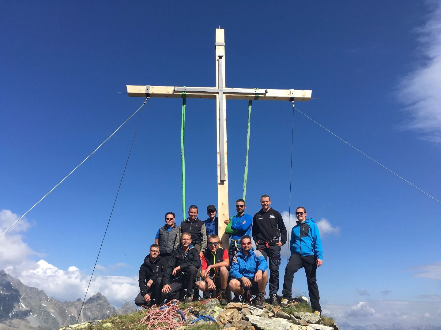
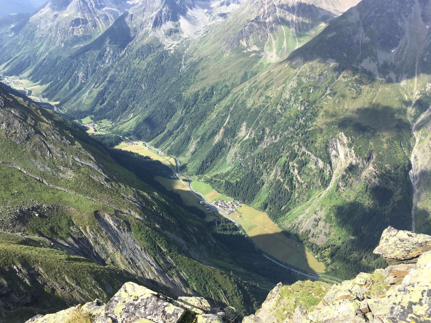
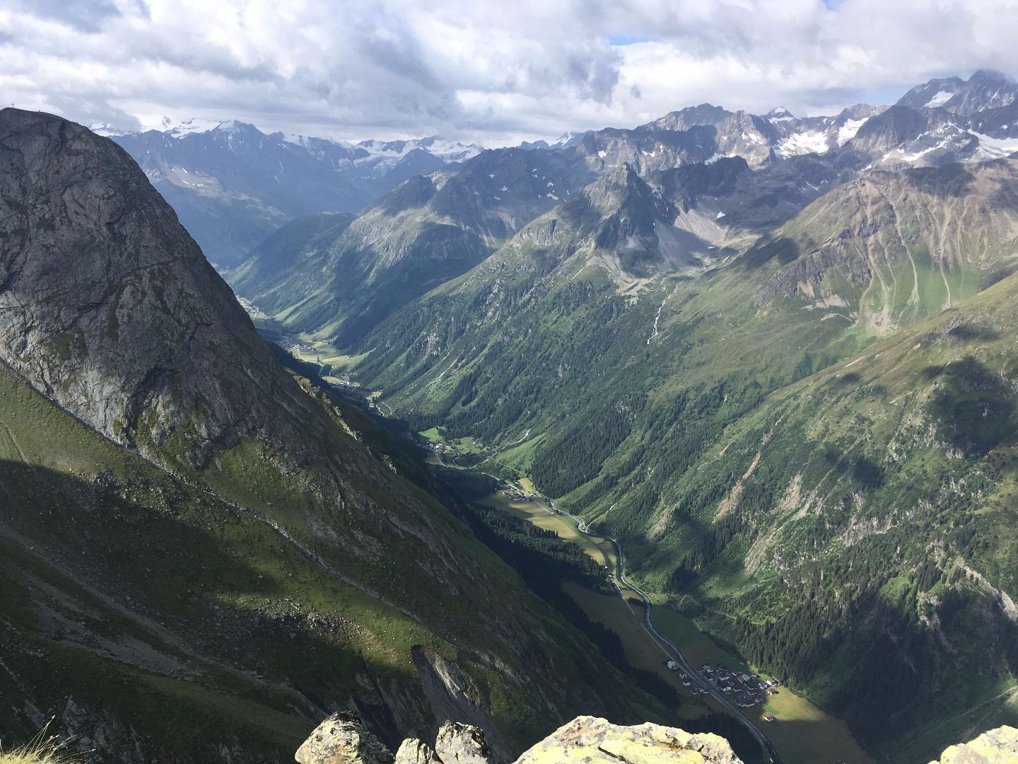
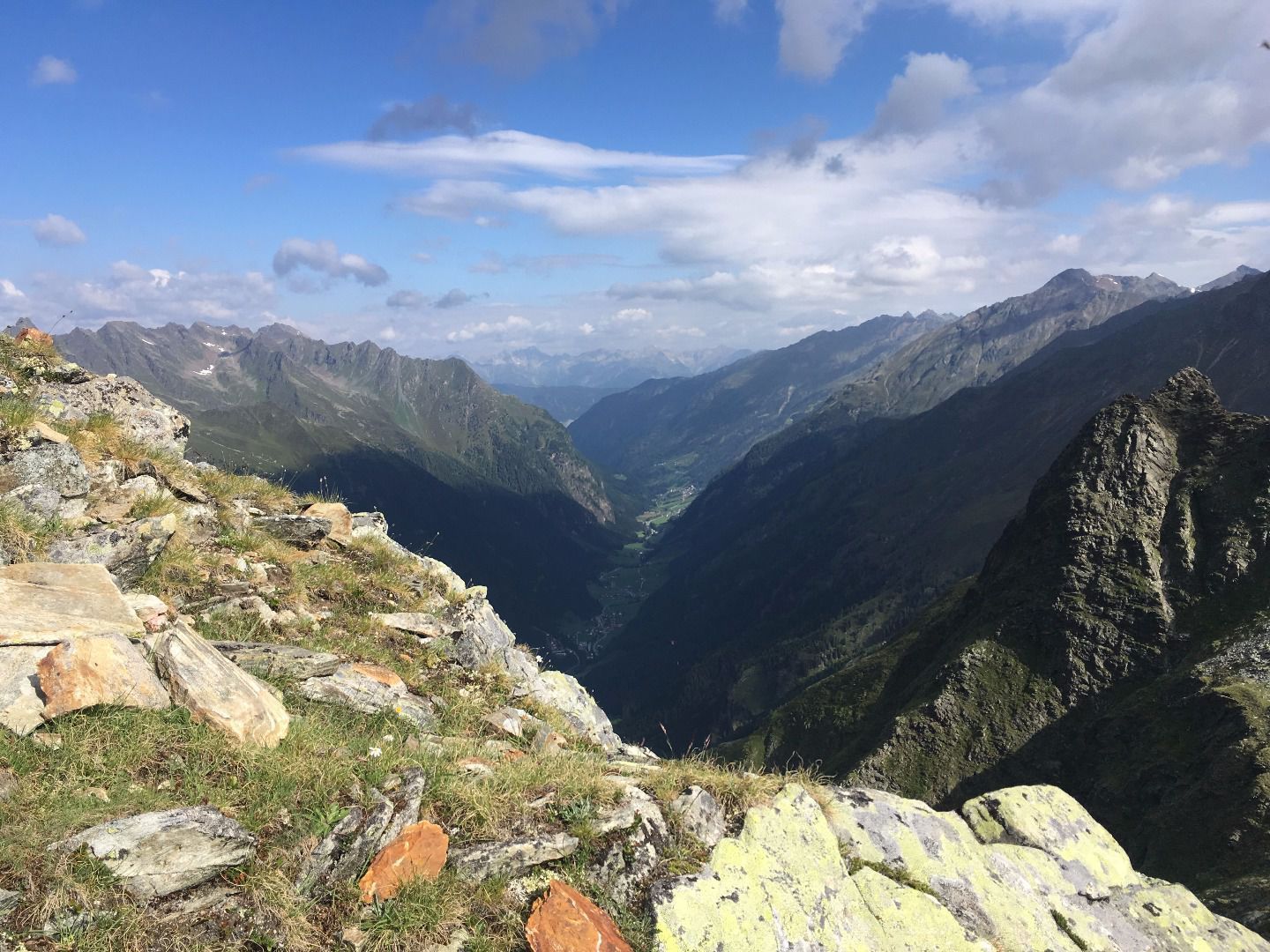
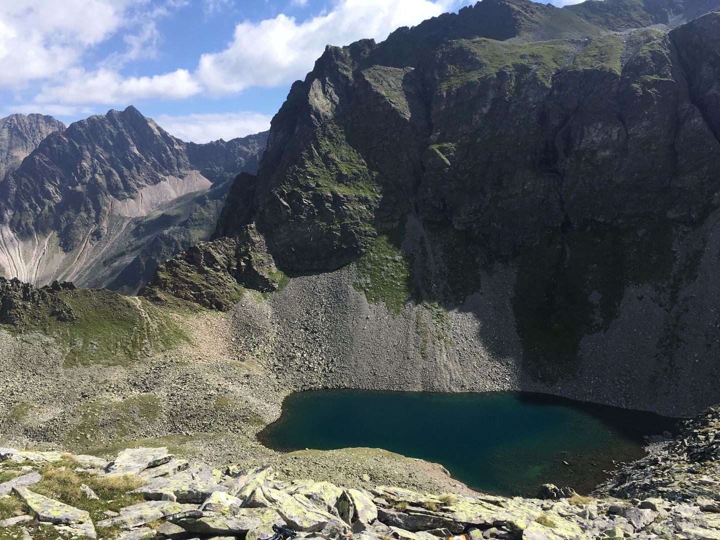

Walk by a road to the left towards the broadcasting mast for a short while, then turn left onto a footpath leading in the direction of the mountain hut Luibisalm (not catered). This Alm is a peaceful destination for a day trip and affords walkers panoramic views high over the valley opposite the steep Rofelewand rockface (3,354 m). Continue on past a hunting lodge to the so called Luibisböden. Straight ahead this track leads to the Luibiskogel peak: from there turn right and walk through a rubble cirque to a crevasse behind which the beautiful Moalandlsee lake nestles against a stunning backdrop of rocks. Please note that this trail is only suitable for fit, experienced and sure-footed mountaineers. Passing Lake Moalandsee on your right, the last stage of this tour leads up to the Grabkogel summit cross, which can already be spotted from the lake. You will reach the summit at 2,651 metres after a 20 minute climb and enjoy a 360 degree view of Lake Moalandsee and the course of Pitztal valley. Return via the outward route.


