Mountain hikes Tux-Lanersbach - forest path to Tux-Vorderlanersbach - Tux-Lanersbach

Tux / Zillertal Alps
Difficulty ratings: medium
Route length: 3.8 km
Duration: 1:30 h

Tour information

  • Requirement: medium
  • Length: 3.8 km
  • Duration: 1:30 h
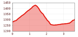
  • Elevation uphill:210 hm
  • Elevation downhill:200 hm
Highest point1,430 m

Features

  • Circular route

Best time of year

  • January
  • February
  • March
  • April
  • May
  • June
  • July
  • August
  • September
  • October
  • November
  • December
Source: Zillertal Tourismus GmbH

Description

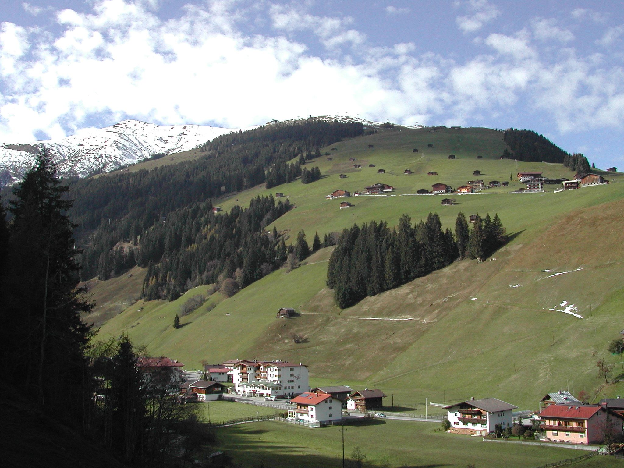
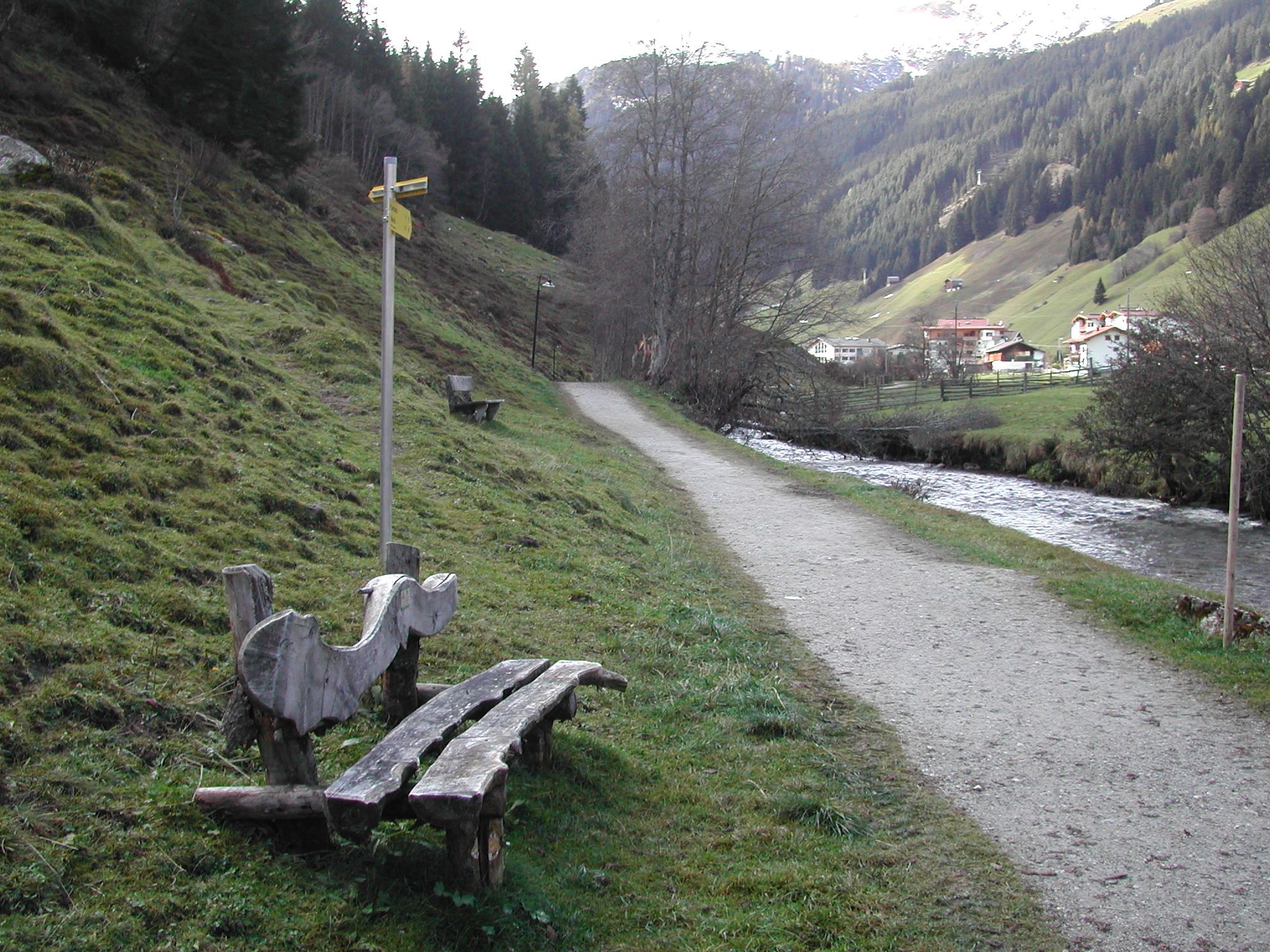
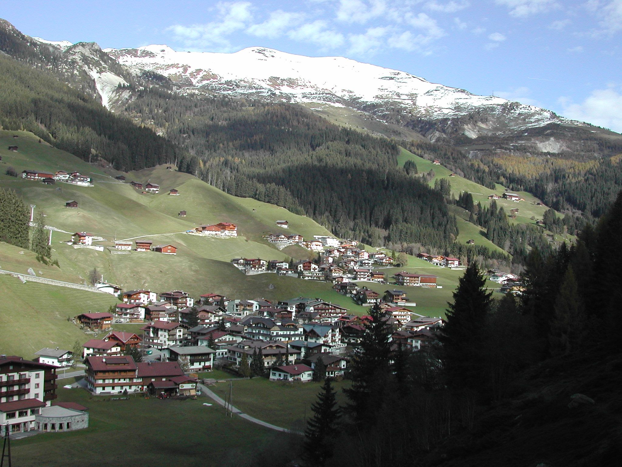
Make your way across the bridge at Sporthotel Kirchler (house no. 453), turn off slightly to the left and then at the intersection turn off once again a little to the left, following the forest path no. 30 up through the woods. After about 3/4 hours take the left fork and carry on down to Tux-Vorderlanersbach to the house Waldhäusl (house no. 309). From Tux-Vorderlanersbach take the path along the Tux river (path no. 10) back to Tux-Lanersbach.

Getting here

  • Parking

    Linienbus 4104, Bushaltestelle Tux-Lanersbach Hinteranger
Weather

Today

clear sky
7°C/0°C
65%1.3l5 km/h

Sun

light snowfall
1°C/-2°C
75%3.1l5 km/h

Mon

cloudy
3°C/-3°C
15%0l5 km/h
Go to weather forecast

More tours in the surrounding area

Newsletter

The mountain is calling? So does our newsletter!

In our monthly newsletter we reveal the best holiday tips for Tyrol.