
Opening hours:Open today
Place:Tux
:Restaurant, Alpine pasture / hut / mountain restaurant
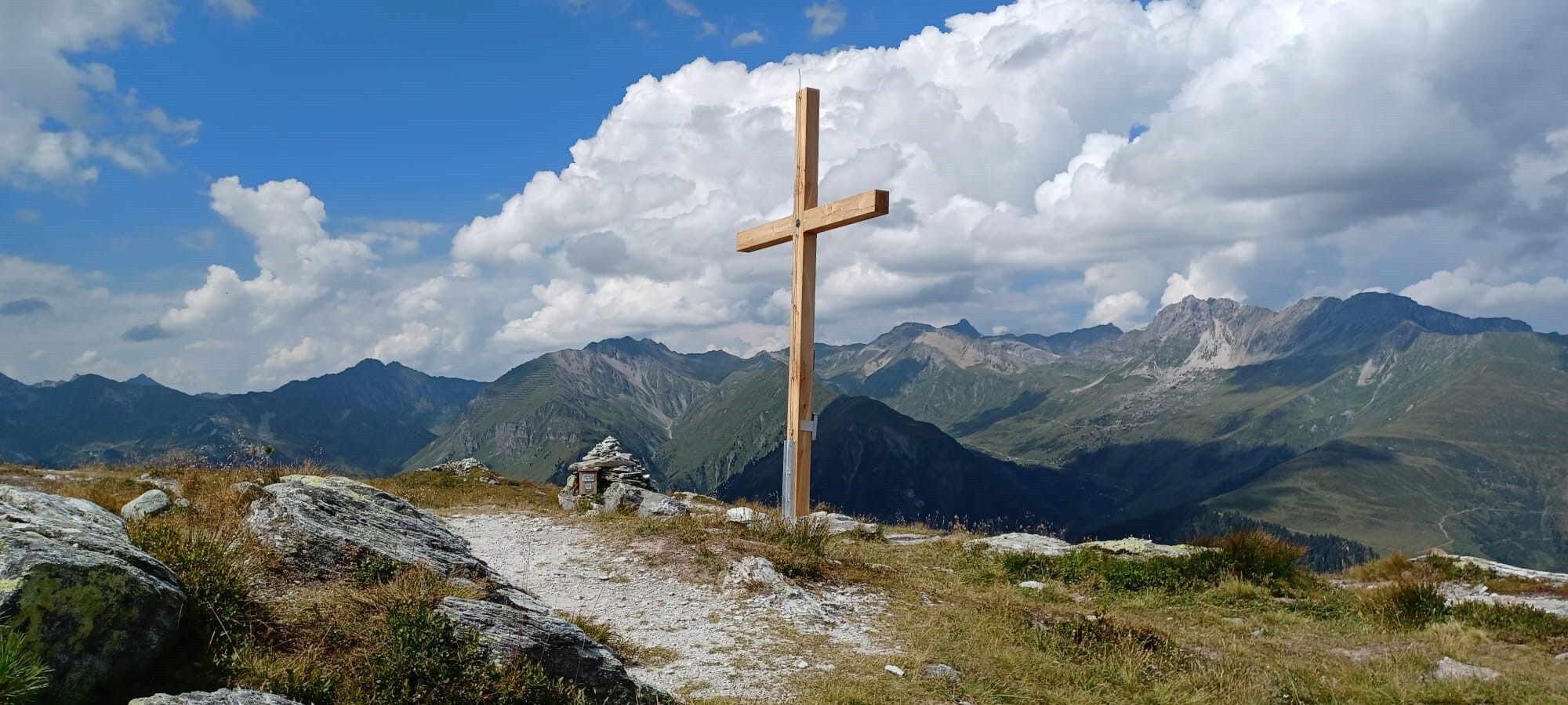
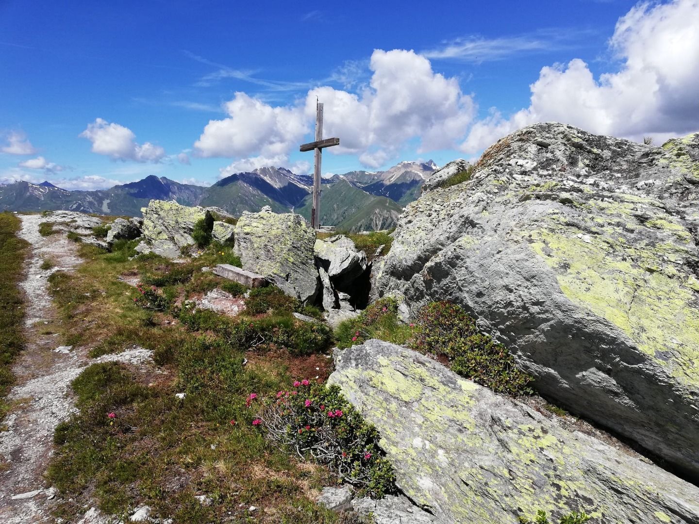
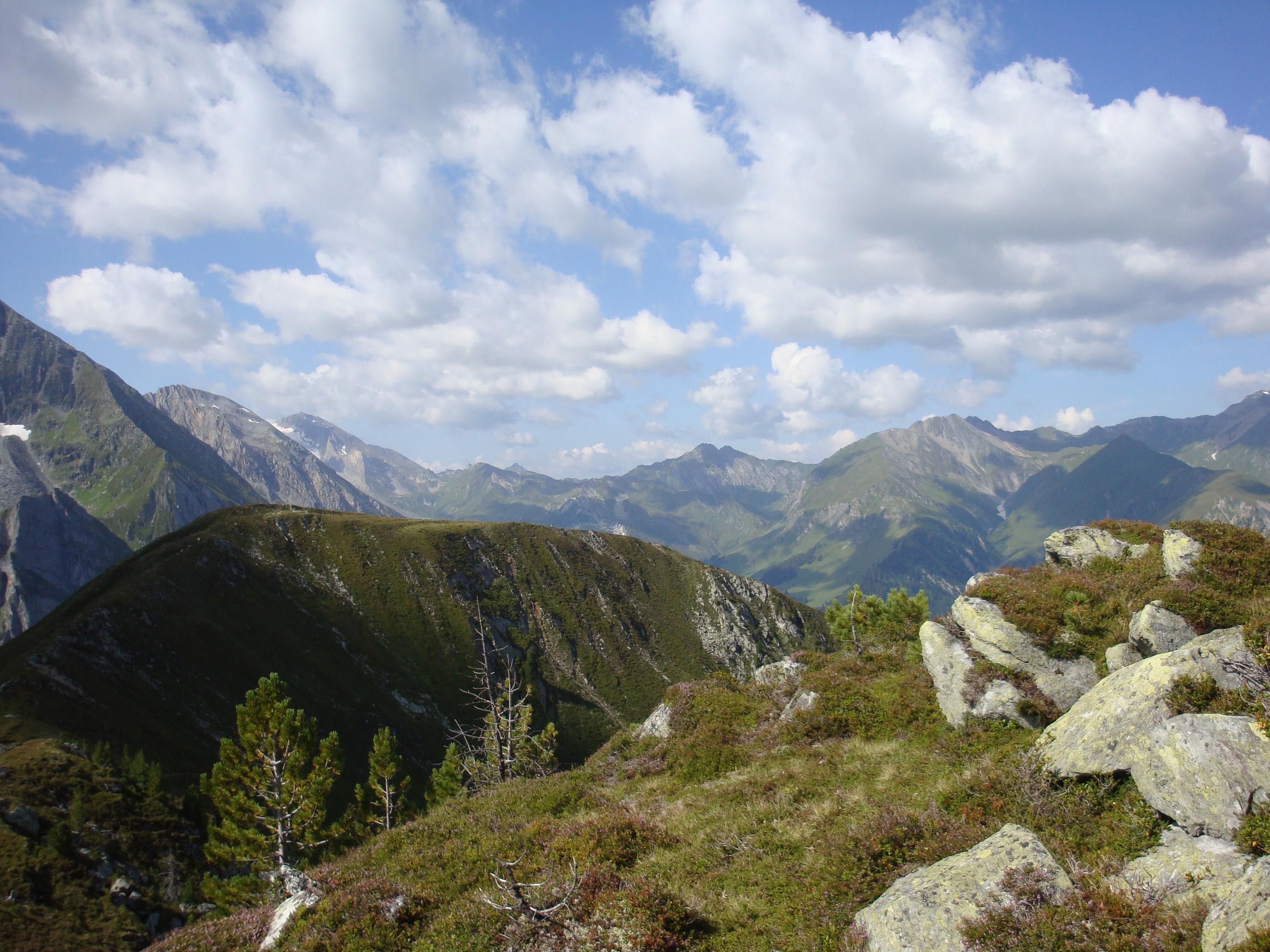
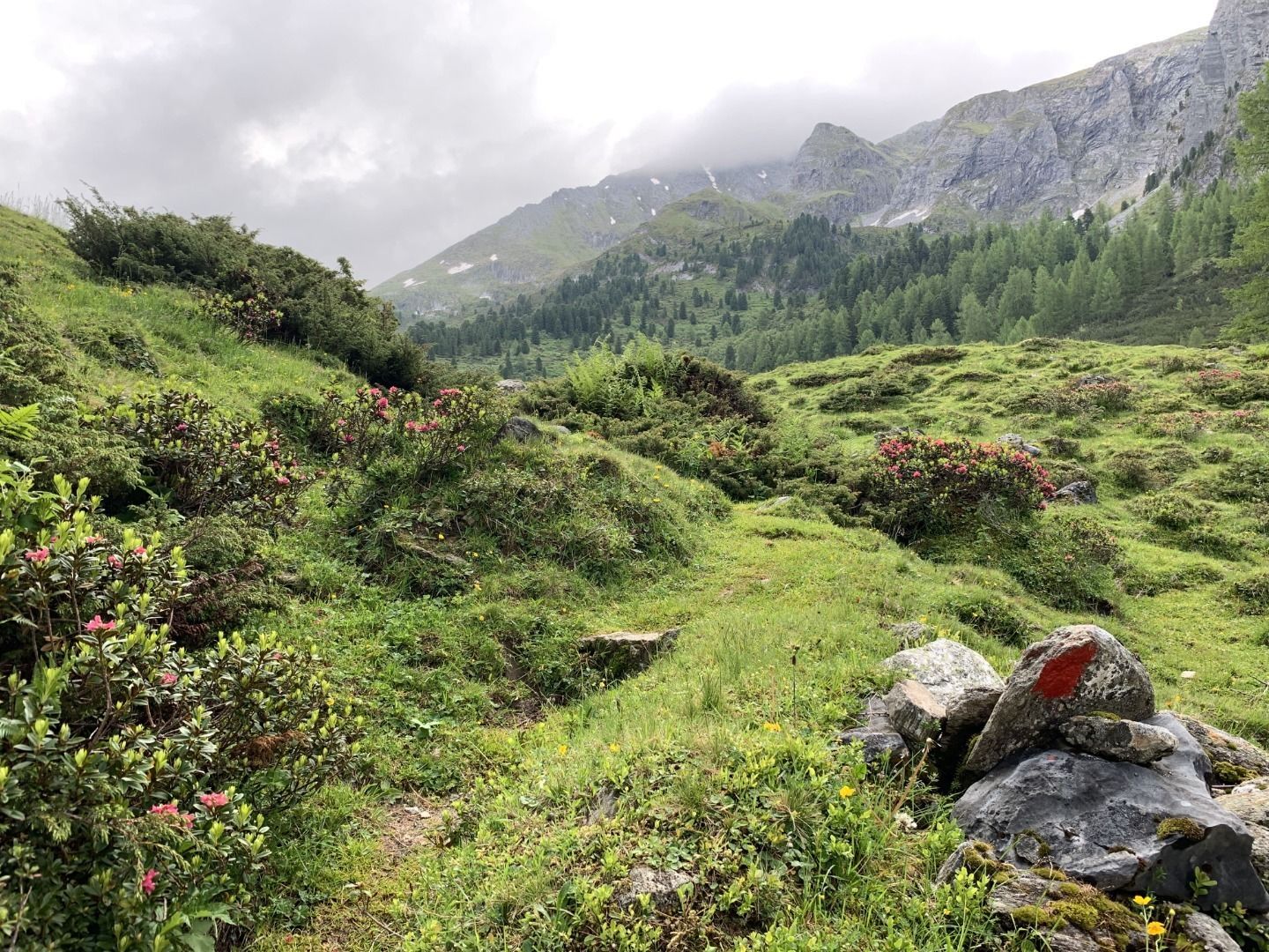
Through pine forests and alpine rose slopes to the local mountain of Tux-Lanersbach!
Correct footwear (sole with a tread, firm hiking shoes)
Clothing (quickly drying, protection against wind, rain and cold)
Sunscreen – ATTENTION: strong sunlight in the mountains! Sunglasses, head protection, sunscreen with a high sun protection factor
First aid kit (gauze bandage, plaster)
Charged mobile phone
Drinks and food (drink plenty of fluid on hikes – but avoid alcohol!)
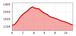
In Tux-Lanersbach at the Sporthotel Kirchler (house no. 435) over the bridge, uphill and at the bend turn right. Before the lone house no. 509 turn left and continue steeply uphill (trail no. 20) to the Tettensjoch. Return to Tux-Lanersbach (trail no. 28) via the Löschbodenalm with a stop at the Höllensteinhütte.
Very rewarding hike - wonderful alpine flora, many alpine rose fields.
busline 4104
bus stop Tux-Lanersbach "Hinteranger"
Day parking lot Tux-Center


.jpg")


")


.jpg")


