 Mirja Geh (26).jpg")
Difficulty:
easy
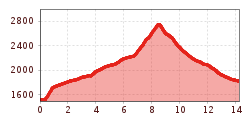
Length:
9.3 km
Duration:
3:00 h
Elevation uphill:
250 m
Val Sampuoir
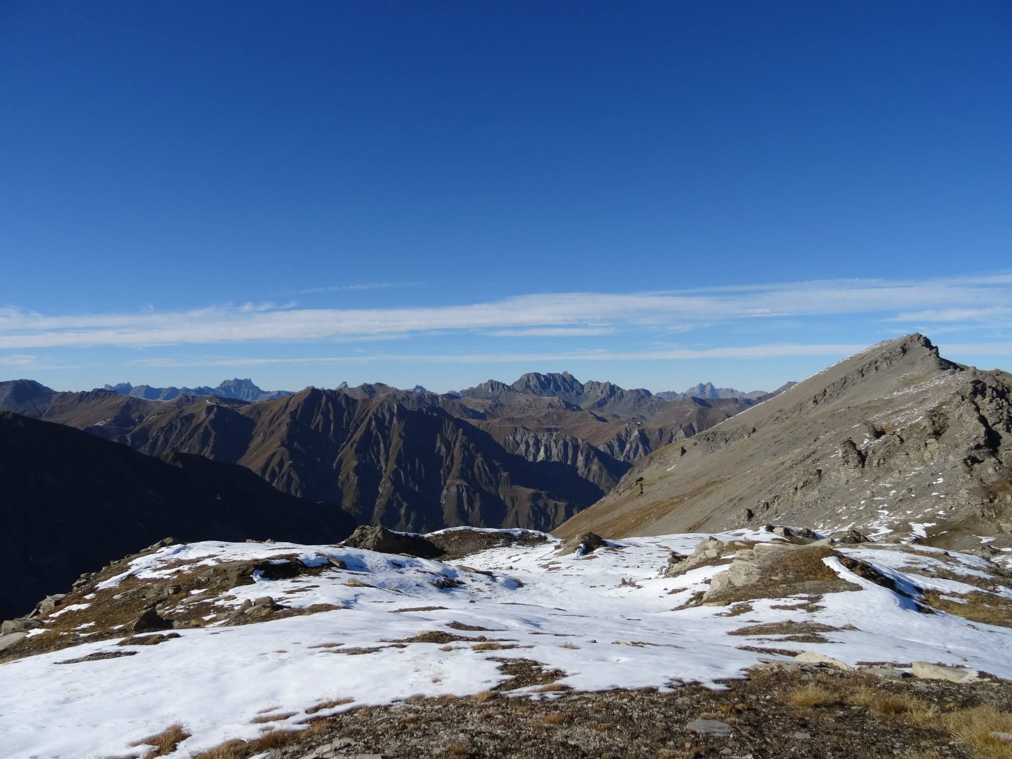
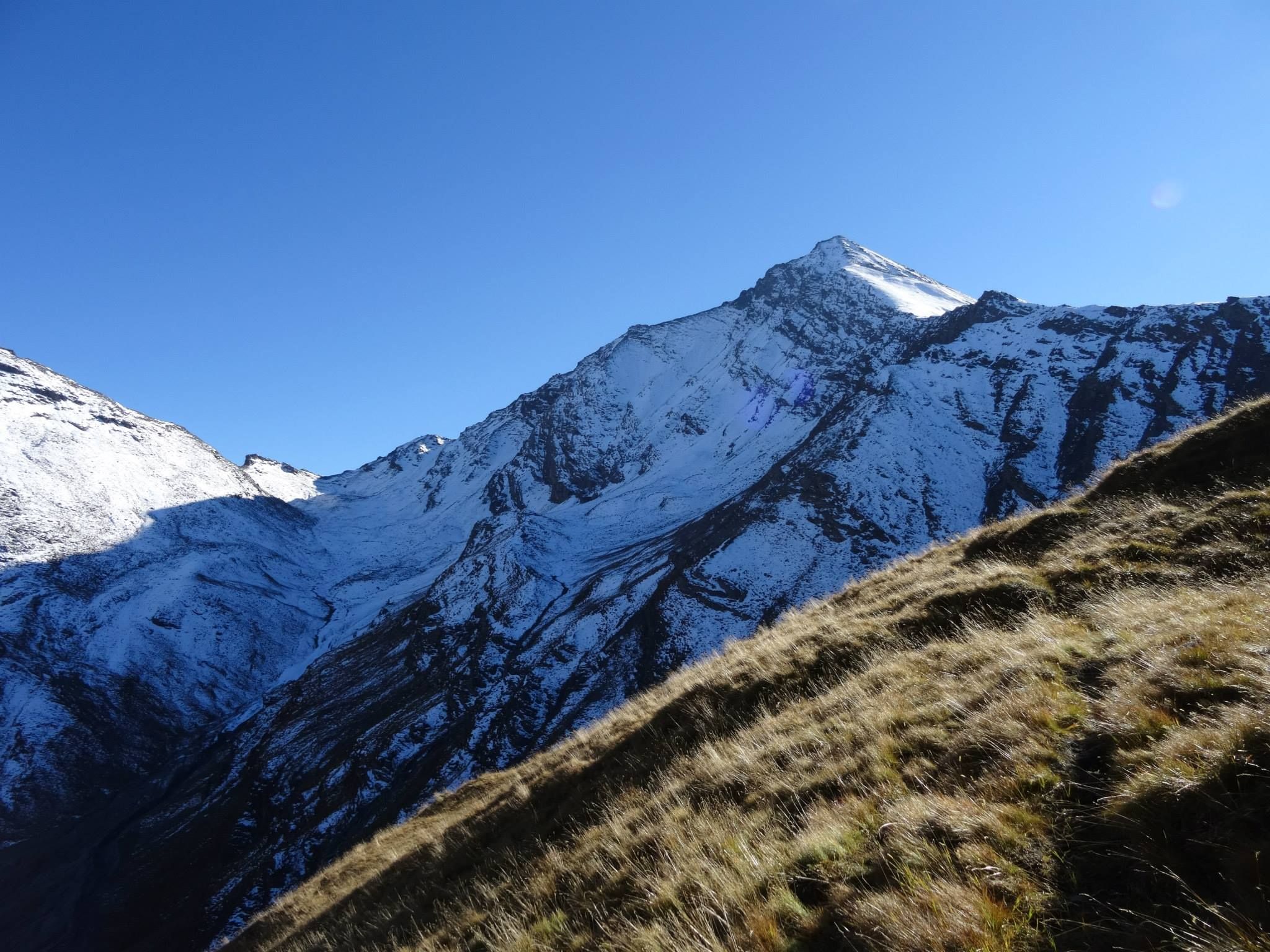
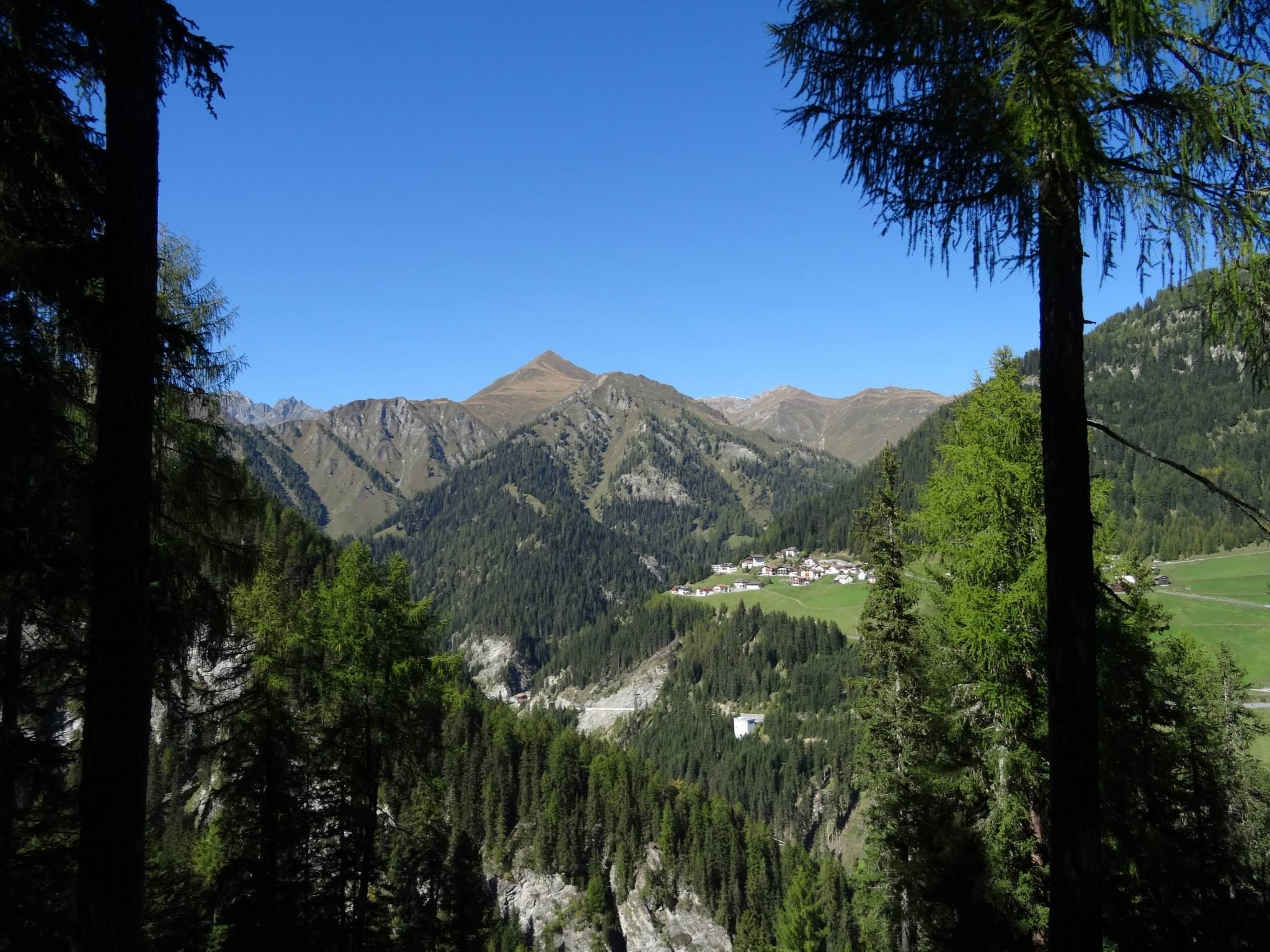
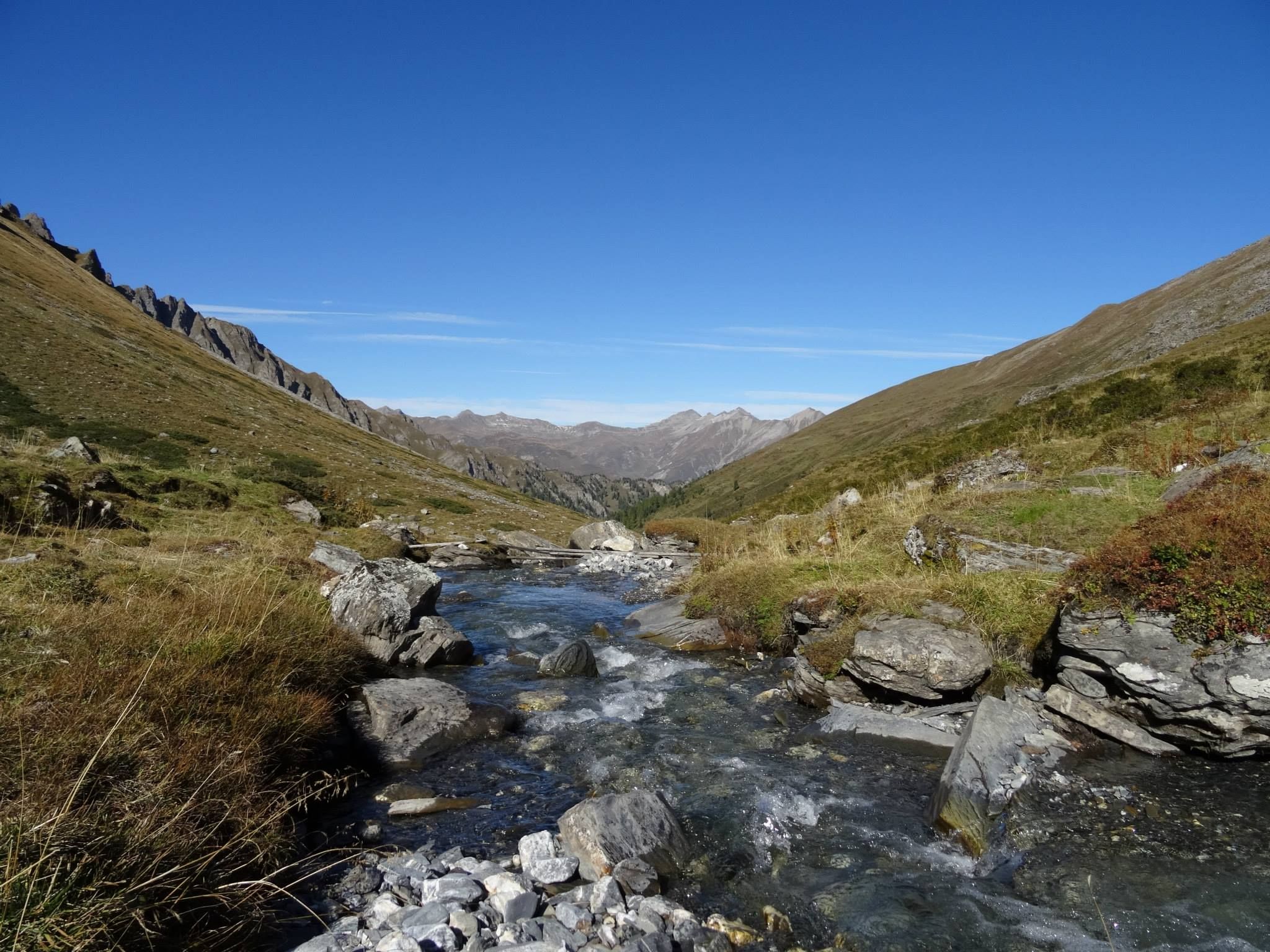
From Acla da Fans, a steep and narrow path leads into Val Sampuoir. Once you conquer this section, you arrive at a forest road, along which you hike through the valley belonging to the municipality of Valsot, passing by alpine meadows and always keeping the Muttler in view at the end of the valley. At Munt da Strels, the path ends, and the hike continues along the grassy, mostly pathless but well-marked slope to Rossbodenjoch. At Rossbodenjoch, the view opens up to Val Maisas and Stammerjoch. The descent leads past the Roten Seeli, a lake that turns red from blood algae in the summer but has often dried up in recent years. From here, you can either head to Samnaun Dorf via Schwarzwand or follow the Rossboden along the Maisasbach.


")


")


 © Bergbahn Pillersee.jpg")


.jpg")

