
Opening hours:Open today
Place:Zams
:Restaurant, Alpine pasture / hut / mountain restaurant:Breakfast, vegetarian
From Zams, you hike along this section of the E5 European long-distance hiking trail through forest and flower meadows, partly along the ski piste, to the Zammer Alm and the Schihütte Zams.
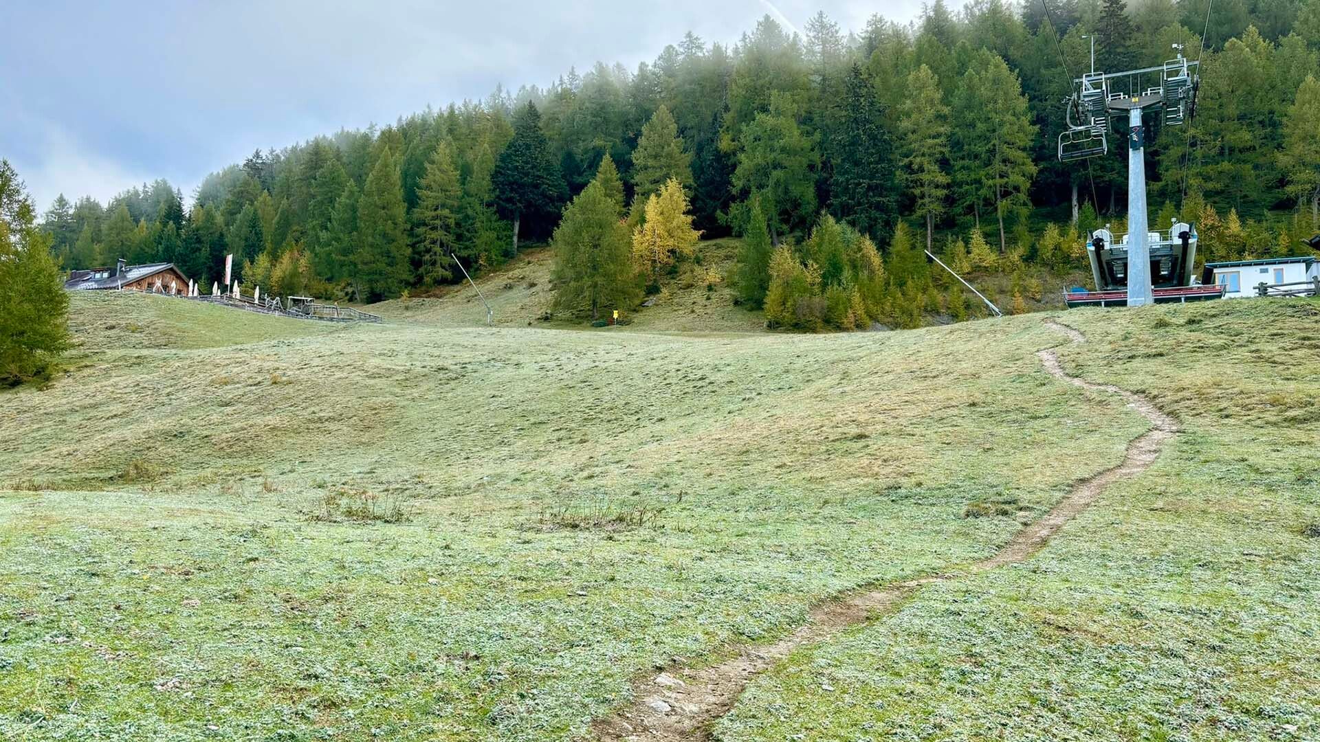
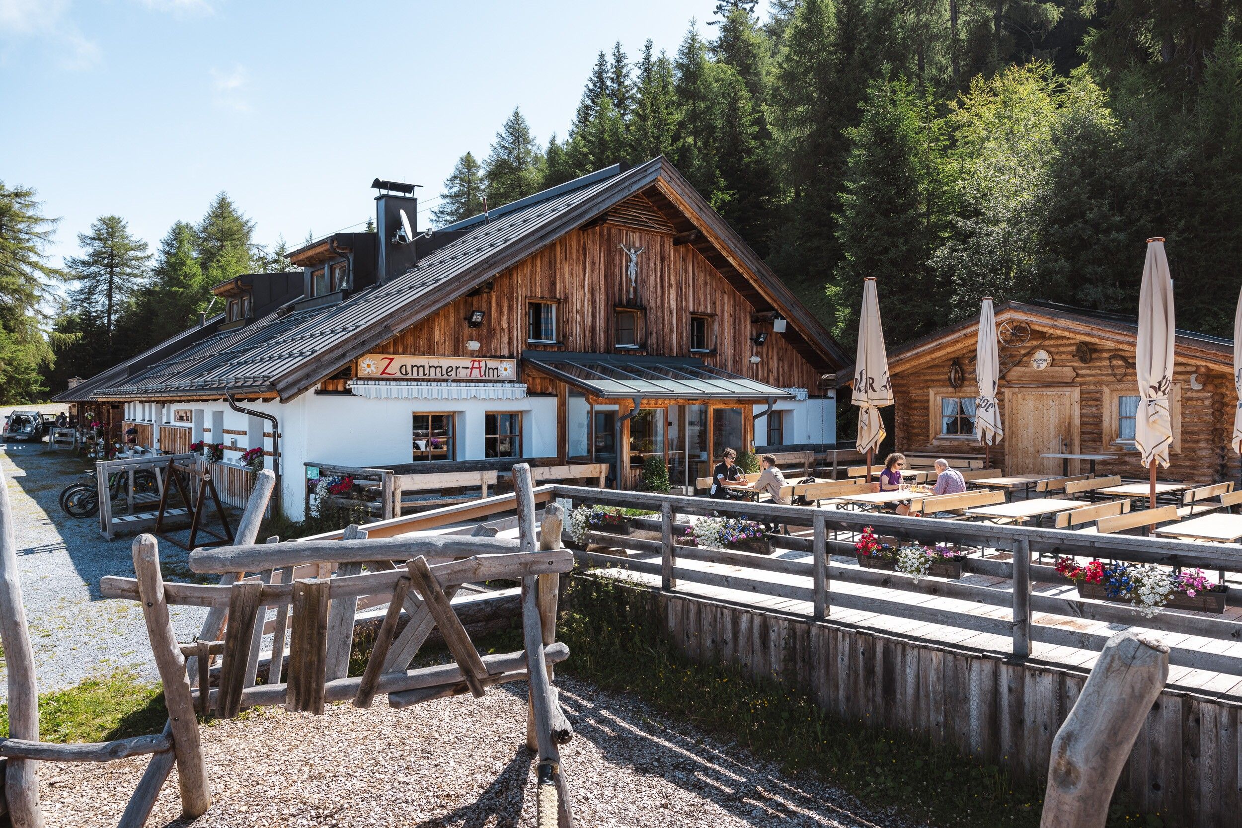
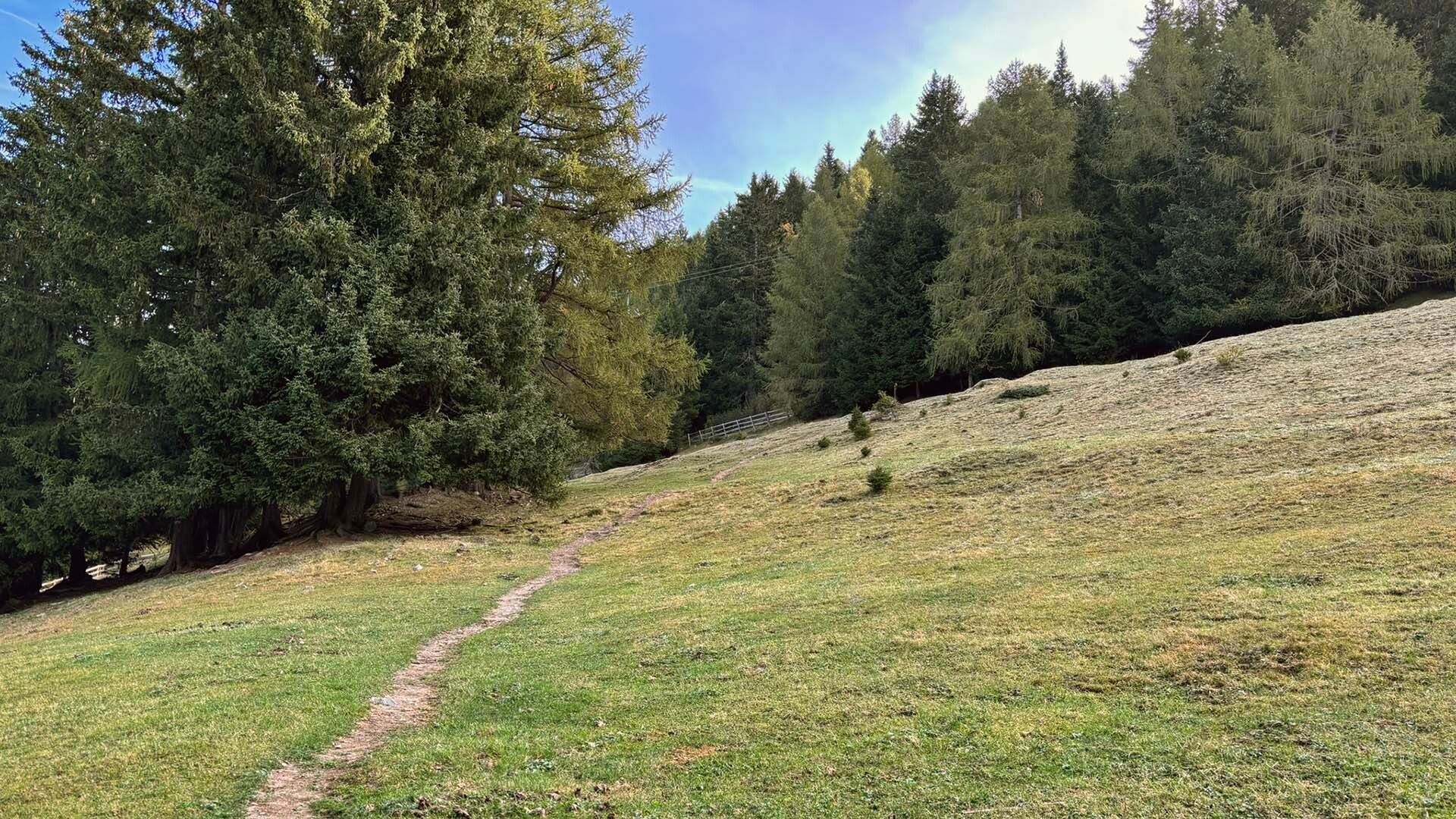
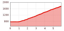
From the Venetbahn valley station, you first walk along the avenue of Japanese blood plums and then follow the signs through the forest up to Anreit. In the village, follow the forest path to the water basin. Follow the path through forest and meadows, sometimes steeply uphill to the Zammer Alm and Zammer Schihütte.
From the Landeck-Zams train station, take Line 1 to the Venetbahn stop (check the SCHEDULE).


.jpg")


.jpg")
