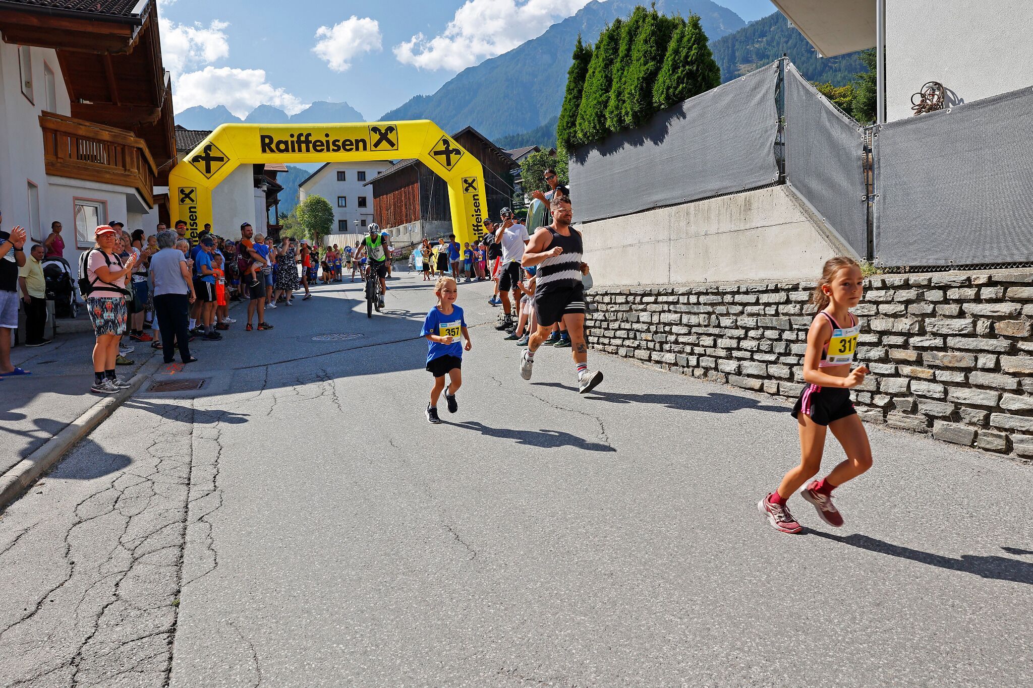
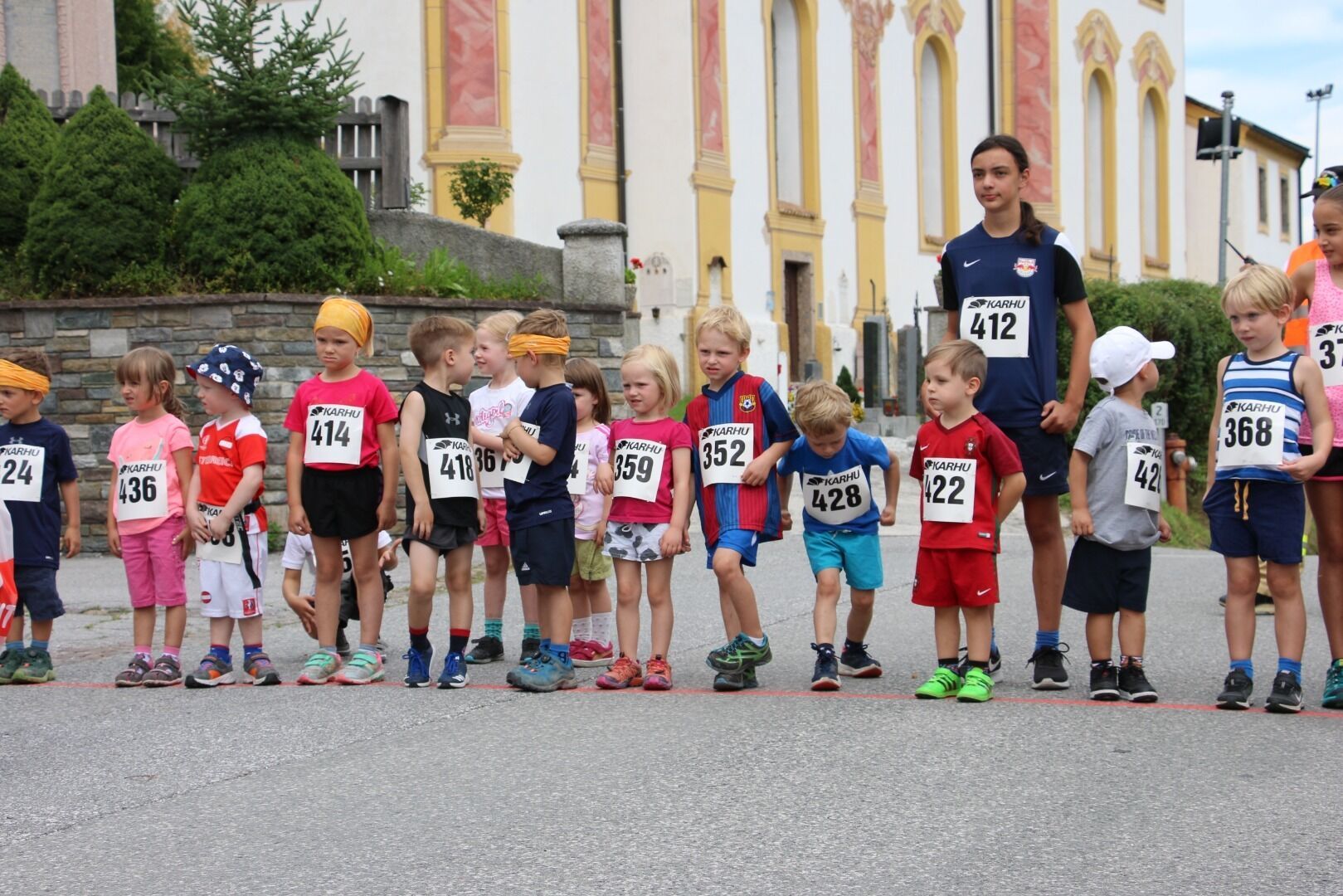
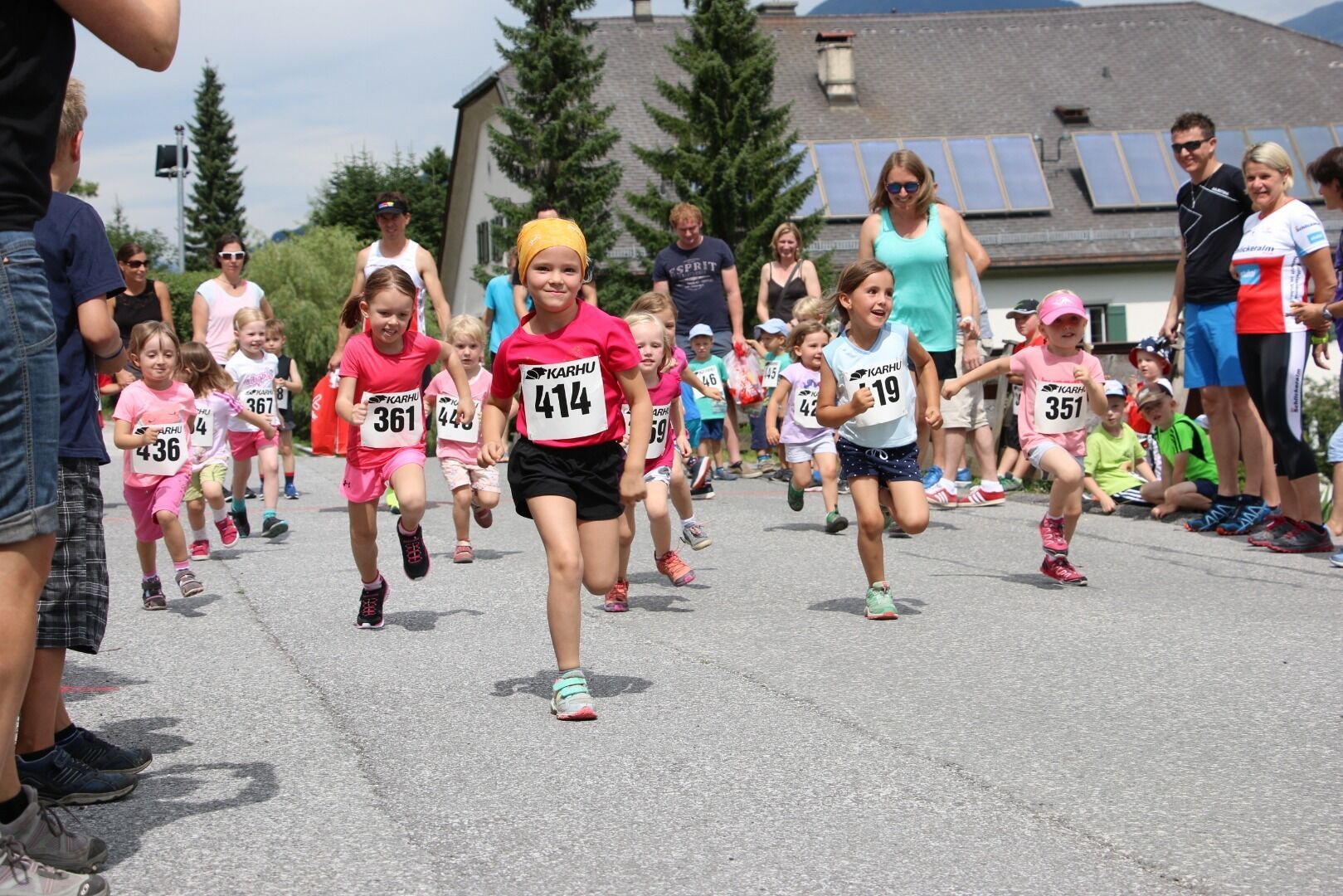
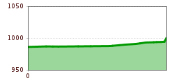
Open interactive mapOpen this POI on the interactive mapElevation profileDownloadKalkkögeltrail Sumsi children´s Run 300m.gpx
DescriptionWe start shortly next to the church, via the Franz de Paula Penz Weg we go up to the right in front of the music pavilion.
Kaiserjochhaus © Lechtal Tourismus Lechtaler Höhenweg: 3. Etappe Kasierjochhaus-Ansbacher HütteDifficulty:difficultLength:7.9 kmDuration:4:15 hElevation uphill:511 mSee trailSee trail: Lechtaler Höhenweg: 3. Etappe Kasierjochhaus-Ansbacher Hütte
Kaiserjochhaus © Lechtal Tourismus Lechtaler Höhenweg: 3. Etappe Kasierjochhaus-Ansbacher HütteDifficulty:difficultLength:11.3 kmDuration:6:45 hElevation uphill:1,010 mSee trailSee trail: Lechtaler Höhenweg: 3. Etappe Kasierjochhaus-Ansbacher Hütte
Lech bei Forchach. © Lechtal Tourismus Stanzach - Over the suspension bridgeDifficulty:easyLength:12.8 kmDuration:3:15 hElevation uphill:42 mSee trailSee trail: Stanzach - Over the suspension bridge
Kundl GorgeDifficulty:easyLength:6.5 kmDuration:3:00 hElevation uphill:10 mSee trailSee trail: Kundl Gorge
Langlaufloipe A5 Obern © Region Seefeld, Moritz Klee Obern trail: adaptive cross-country skiing in Leutasch (A5)Opening hours:closedDifficulty:easyLength:5.3 kmElevation uphill:29 m:Style: Skating, ClassicGo to Cross-country skiing trailGo to Cross-country skiing trail: Obern trail: adaptive cross-country skiing in Leutasch (A5)
Langlaufloipe A11 Bodenalm © Region Seefeld Barrier-free trail Bodenalm | A11Opening hours:closedDifficulty:easyLength:10.7 kmElevation uphill:60 m:Style: Skating, ClassicGo to Cross-country skiing trailGo to Cross-country skiing trail: Barrier-free trail Bodenalm | A11
Langlaufen auf der Loipe Plaik © Region Seefeld, Moritz Klee Plaik-Loipe C9Opening hours:closedDifficulty:difficultLength:8.7 kmElevation uphill:169 m:Style: Skating, ClassicGo to Cross-country skiing trailGo to Cross-country skiing trail: Plaik-Loipe C9
©-TVB-Tiroler-Oberland-Kaunertal-Severin-Wegener-Langlaufen-Loipe-Kaser-2024-7300.jpg © SEVERIN WEGENER Loipe Kaunertal-Runde | KaunertalOpening hours:closedDifficulty:mediumLength:8.3 kmElevation uphill:123 m:Style: Skating, ClassicGo to Cross-country skiing trailGo to Cross-country skiing trail: Loipe Kaunertal-Runde | Kaunertal
Loipe Ganderau © Bruno Hafele Cross-country skiing GanderauOpening hours:closedDifficulty:easyLength:3.0 kmDuration:0:25 hElevation uphill:20 m:Style: Skating, ClassicGo to Cross-country skiing trailGo to Cross-country skiing trail: Cross-country skiing Ganderau
Langlaufloipe B1 in Mösern © Region Seefeld B1 - MösernOpening hours:closedDifficulty:mediumLength:5.5 kmElevation uphill:110 m:Style: Skating, ClassicGo to Cross-country skiing trailGo to Cross-country skiing trail: B1 - Mösern
Milky Way Start.jpg © (c) Serfaus-Fiss-Ladis Marketing GmbH_Manuel Kokseder Milky WayOpening hours:openDifficulty:easyLength:2.9 kmGo to biketourGo to biketour: Milky Way
Feldberg, Stripsenjoch, Kaiserbachtal, Region St. Johann in Tirol, Kirchdorf © Mirja Geh Kaiserbachtal - Feldberg - StripsenjochDifficulty:mediumLength:21.0 kmDuration:9:00 hElevation uphill:1,170 mSee trailSee trail: Kaiserbachtal - Feldberg - Stripsenjoch
Blick vom Juifen ins Karwendel © Achensee Tourismus Achenkirch - Falkenmoosalm - Großzemmalm - Juifen - AchenkirchDifficulty:mediumLength:20.5 kmDuration:7:30 hElevation uphill:1,120 mSee trailSee trail: Achenkirch - Falkenmoosalm - Großzemmalm - Juifen - Achenkirch
Hoch oben an der Rastkogelhütte © Archiv TVB Mayrhofen Circuit & summit hike: Schwendberg (Jausenstation Melchboden) Arbiskopf, Rauhenkopf and KreuzjochDifficulty:mediumLength:8.6 kmDuration:3:30 hElevation uphill:450 mSee trailSee trail: Circuit & summit hike: Schwendberg (Jausenstation Melchboden) Arbiskopf, Rauhenkopf and Kreuzjoch
neuer-wanderweg-im-stilluptal-foto-stefan-absenger © Archiv TVB Mayrhofen Themed hike: Stilluptal "Wasserfallweg"Difficulty:easyLength:15.3 kmDuration:5:00 hElevation uphill:325 mSee trailSee trail: Themed hike: Stilluptal "Wasserfallweg"
wandern-nilljochhuette-c-desiree-dezordo.jpg © Desirèe De Zordo Trail Virgentaler Sonnseitenweg Stage 3More InformationMore Information: Trail Virgentaler Sonnseitenweg Stage 3
stabanthuette-wandern-sommer-terrasse-c-desiree-de-zordo.jpg © Desirèe de Zordo Trail Virgentaler Sonnseitenweg Stage 4More InformationMore Information: Trail Virgentaler Sonnseitenweg Stage 4
swiss-track02-c-npht-martin-kurzthaler.jpeg © Nationalpark Hohe Tauern / Martin Kurzthaler Rollitour with Swiss TracDifficulty:easyLength:3.2 kmDuration:1:30 hElevation uphill:135 mSee trailSee trail: Rollitour with Swiss Trac
outdooractiveImport_67919192 © TVB Stubai Stubai Radroute 19Opening hours:openDifficulty:easyLength:24.0 kmElevation uphill:364 mGo to biketourGo to biketour: Stubai Radroute 19
imagemeta.apiv2.1593523029518 © TVB Stubai Sulzenau Hütte - Blaue Lacke und GrünauseeDifficulty:mediumLength:3.2 kmDuration:1:07 hElevation uphill:117 mSee trailSee trail: Sulzenau Hütte - Blaue Lacke und Grünausee
Stage 7: Bremer Hut - Innsbrucker HutDifficulty:difficultLength:9.5 kmDuration:7:00 hElevation uphill:839 mSee trailSee trail: Stage 7: Bremer Hut - Innsbrucker Hut
Taschach Alm © TVB Pitztal/Chris Walch Taschachhaus circuitLength:21.0 kmDuration:4:00 hElevation uphill:1,000 mGo to trailGo to trail: Taschachhaus circuit
Stage 4: Dresdner Hut - Sulzenau HutDifficulty:difficultLength:5.0 kmDuration:3:00 hElevation uphill:419 mSee trailSee trail: Stage 4: Dresdner Hut - Sulzenau Hut
Stage 6: Nürnberger Hut - Bremer HutDifficulty:difficultLength:6.0 kmDuration:4:00 hElevation uphill:642 mSee trailSee trail: Stage 6: Nürnberger Hut - Bremer Hut
outdooractiveImport_25033503 © TVB Stubai Stubai Tree House TrailDifficulty:easyLength:6.0 kmDuration:2:00 hElevation uphill:44 mSee trailSee trail: Stubai Tree House Trail
Give feedback for a chance to win a special holiday experience!Click here for the surveyClick here for the survey


.jpg")


