
Difficulty:medium
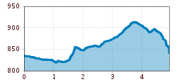
Length:13.2 kmDuration:6:00 hElevation uphill:1,120 m
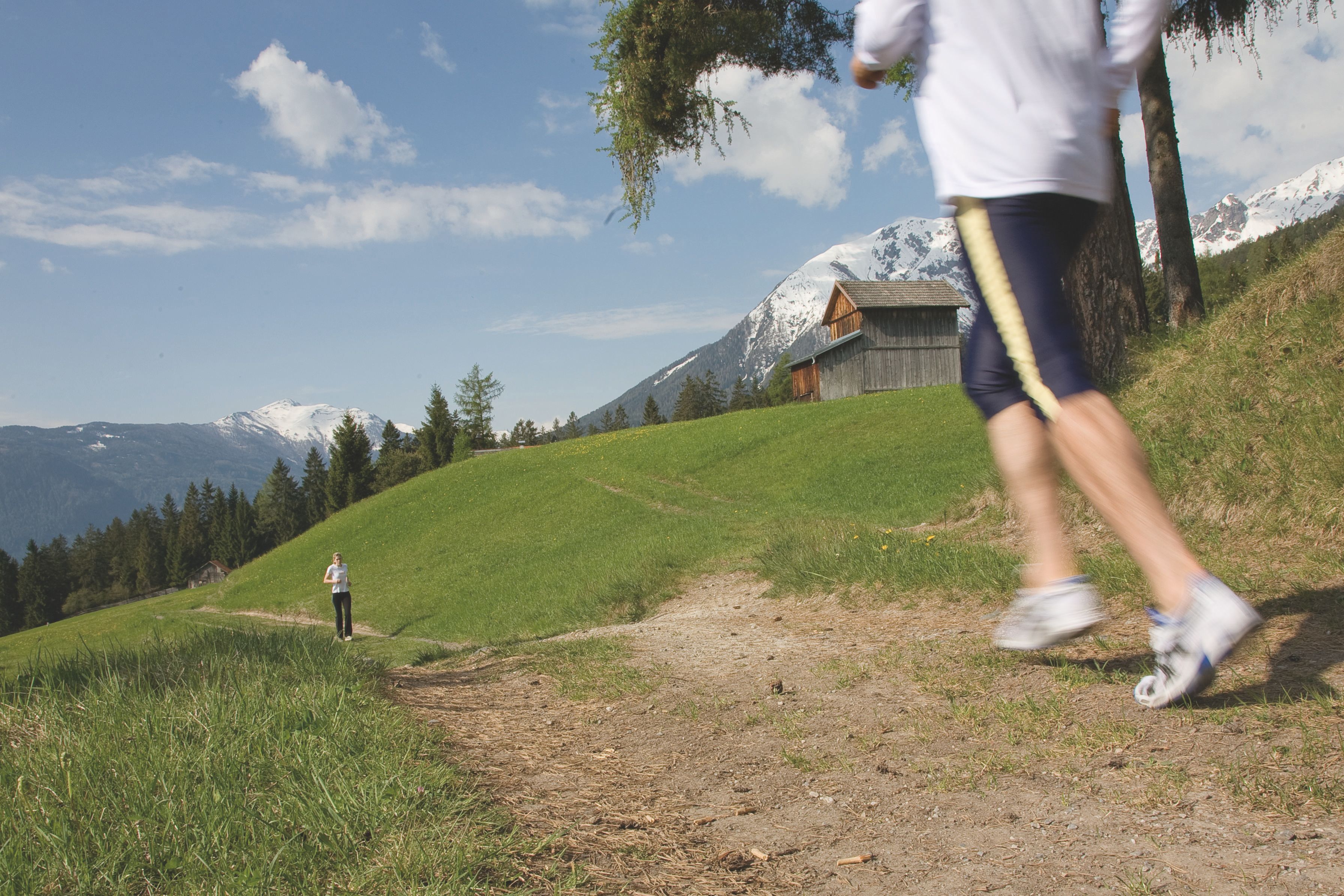
Running route through the sunny fields and forests of Karres and Karrösten.
Route:
From the starting point Karres head west on the tarmac road towards Karrösten. At the confluence with the Karröster driveway (road) turn and follow this until the next turn. Follow the brook-lined path a short distance up the stream and then turn left into the fields. Cross the street again at the sawmill and straight on to the war memorial. From there up to Karrosten and on the route of the Tschirgant Line back to Karres.

")


