Lama circuit Ellmau

Ellmau / Kitzbühel Alps
Route length: 9.8 km
Duration: 1:30 h

Ellmau hiking info point - Gasthof Au - Ellmauer Hof - Haflingertränke - Auwald - Ellmau hiking info point

Tour information

  • Length: 9.8 km
  • Duration: 1:30 h
  • Elevation uphill:300 hm
  • Elevation downhill:300 hm
Highest point921 m

Starting point

Hiking starting point Tourist Info, Ellmau (800 m)

Finishing point

Hiking starting point Tourist Info, Ellmau (800 m)
  • Fitness level 3 / 6
  • Technique 1 / 6

Best time of year

  • January
  • February
  • March
  • April
  • May
  • June
  • July
  • August
  • September
  • October
  • November
  • December

Equipment

Running shoes or trail running shoes (depending on the route), comfortable, breathable clothing, poss. lightweight rucksack with water bottle and snacks
Source: TVB Wilder Kaiser

Description

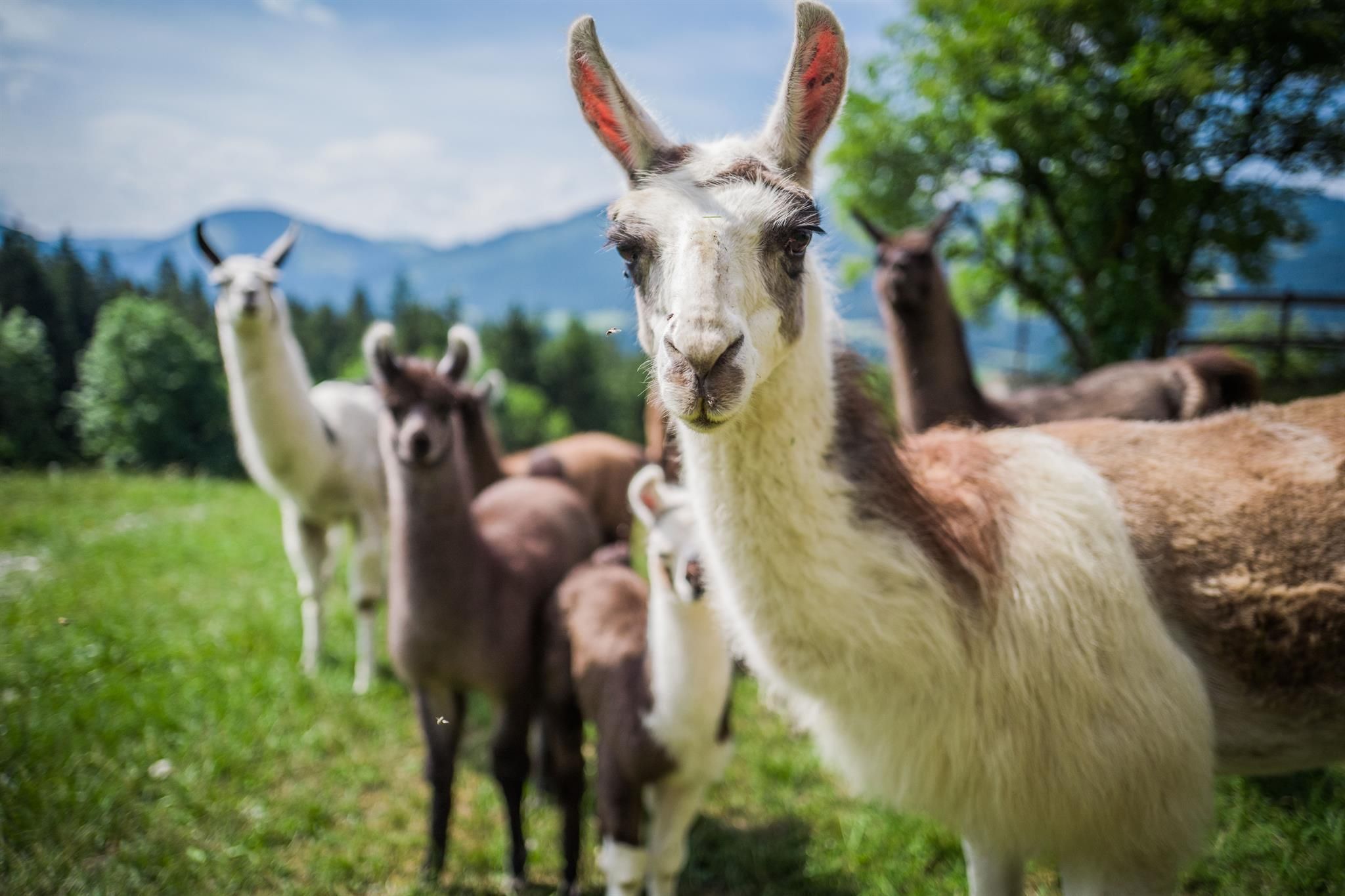
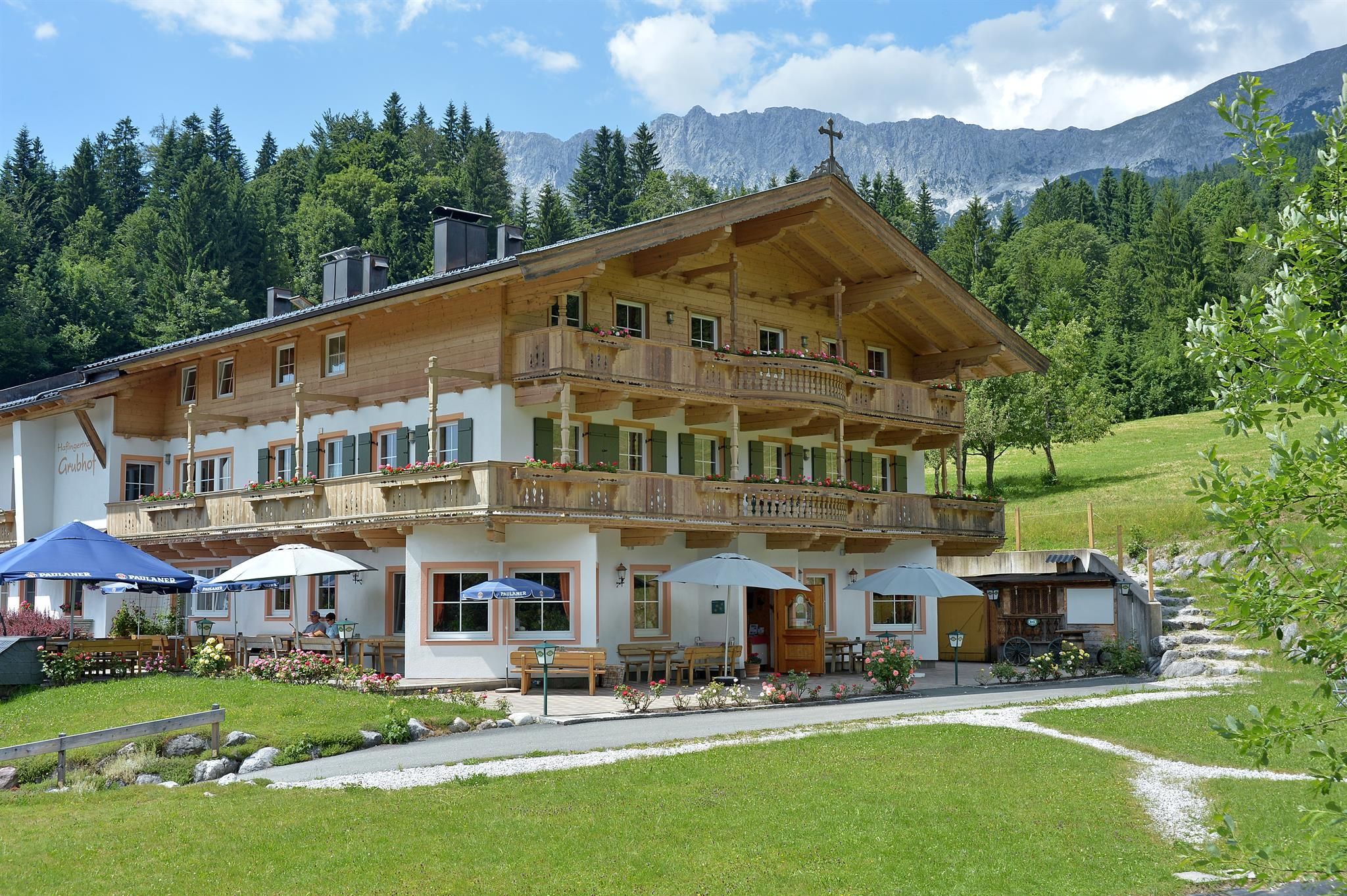
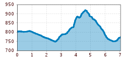
You start this moderately challenging circuit in Ellmau’s village park and go past the church towards Gasthof Au. Immediately after the inn turn right and walk along the Weißache river past the football ground to the Ellmauer Hof. After the hotel, run/walk through the underpass heading towards Haflingertränke. When you reach the hotel, you can call in for refreshments or carry on walking/running and, after a short climb, bear left into a beautiful section of forest. Then, at the crossroads, you walk/run to the left in the direction of Auwald forest, which you cross and return to the starting point.

Getting here

  • Arrival by public transport

    KaiserJet stop “Ellmau Hotel Alte Post” or Postbus stop “Ellmau Dorf Bauhof”. More information at: www.wilderkaiser.info/mobility

  • Parking

    Public car parks in Ellmau centre or west - for free.

More tours in the surrounding area

  • Panoramic circuit Brandstadl–Hartkaiser

    Difficulty:easy
    Length:6.0 kmDuration:1:50 hElevation uphill:170 m
  • Hintere Goinger Halt summit tour

    Difficulty:difficult
    Length:9.3 kmDuration:6:30 hElevation uphill:1,090 m
  • Winter walking Biedringer Platte

    Opening hours:closed
    Length:12.7 kmDuration:5:30 hElevation uphill:470 m
  • Hochalm hike

    Difficulty:medium
    Length:19.6 kmDuration:7:00 hElevation uphill:1,140 m
  • MTB Tour Söll - Hochsöll

    Difficulty:medium
    Length:5.1 kmElevation uphill:480 m
  • Astberg Trail

    Length:9.7 kmElevation uphill:500 m
Newsletter

The mountain is calling? So does our newsletter!

In our monthly newsletter we reveal the best holiday tips for Tyrol.