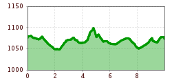
Rehbach Route

Schattwald / Allgäuer Alps
Route length: 10.0 km
Duration: 1:30 h

Short description:A beautiful and exhausting running route in the border area of Austria and Germany.Technique: *Quality of experience: ******Recommended season:MayJuneJulyAugustSeptemberProperties:LoopRefreshment stops availableFamily friendlyGeological highlightsBotanical highlightsFaunistic highlightsInsider tip

Tour information

  • Length: 10.0 km
  • Duration: 1:30 h
  • Elevation uphill:103 hm
  • Elevation downhill:103 hm
Highest point1,100 m
  • Fitness level 5 / 6

Best time of year

  • January
  • February
  • March
  • April
  • May
  • June
  • July
  • August
  • September
  • October
  • November
  • December
Source: Tannheimer Tal

Description

Description:
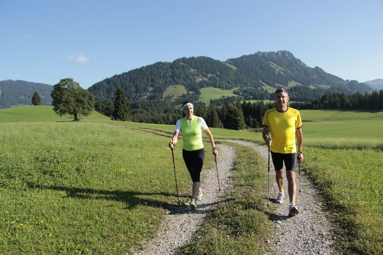
Experience the Running and Nordic Walking Arena Tannheimer Tal 

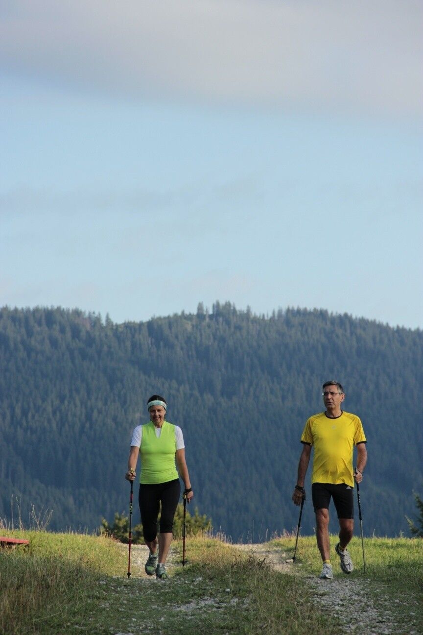
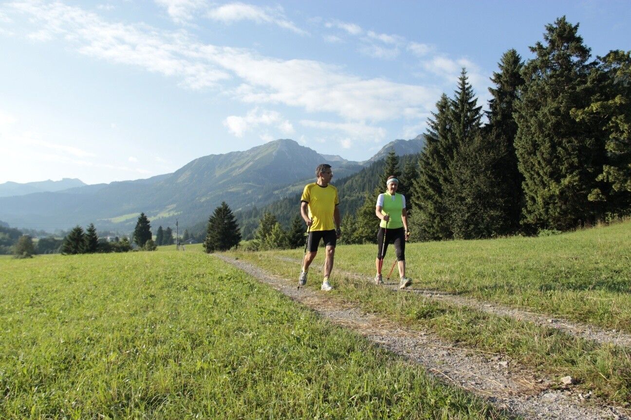
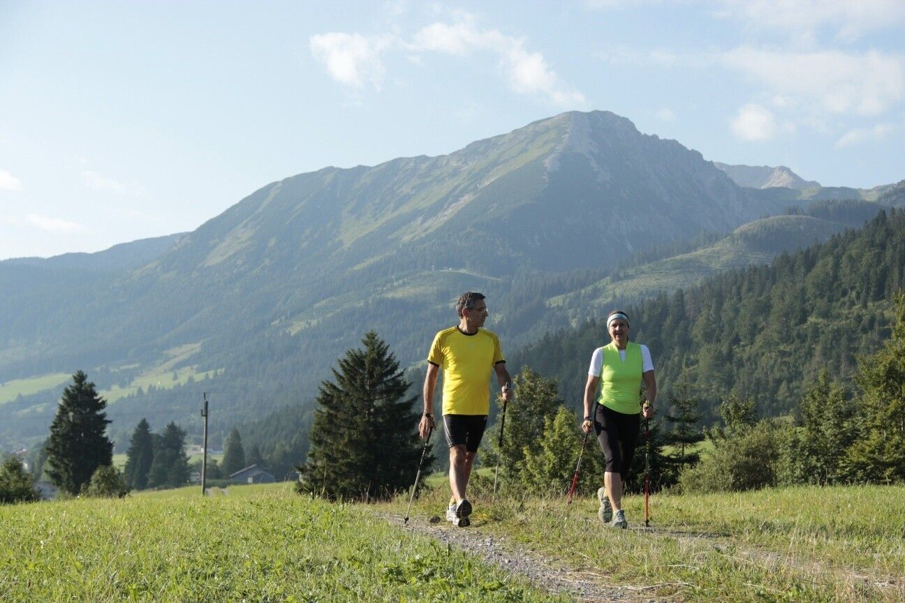
Whether breathless beginner or well-trained mountain athlete: In the Tannheimer Tal, everyone who wants to be active in the fresh air and explore the surrounding mountains on foot will find something to suit them. All active people, from amateurs to professionals, face the daily choice: The largest network of trails in Tyrol offers 26 signposted routes spanning a total of 186 kilometers. Beginner loops are just as included as demanding mountain runs. And so that all guests know which path suits their condition and requirements, a specially developed map and small signs provide information about elevation profile, difficulty, and route length - the Running and Nordic Walking map.


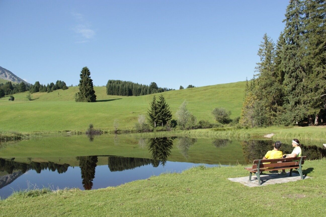
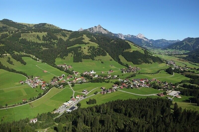
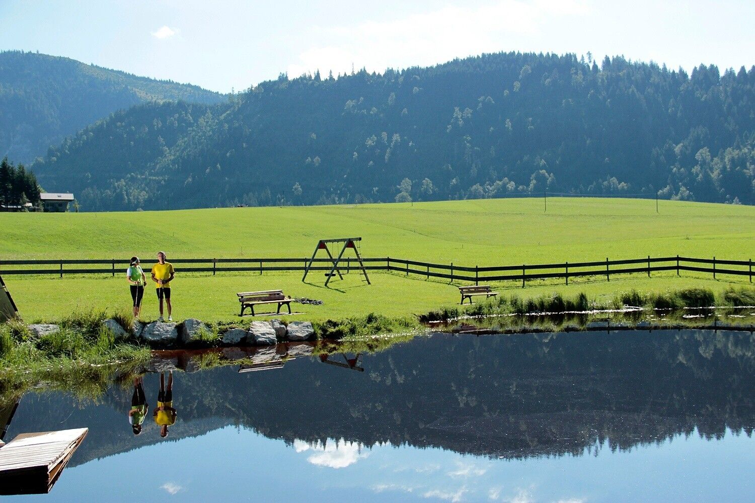
Along meadows, over green alpine pastures, by sparkling mountain lakes... Walking and running in the Tannheimer Tal is not only the best training for the body but above all balm for the soul. The starting points for all those eager for movement are in the six villages Tannheim, Grän-Haldensee, Nesselwängle-Haller, Zöblen, Schattwald, and Jungholz. From here, walkers, Nordic walkers, and runners follow the guideposts. They are easy to recognize: little figures with poles. Additionally, all trails, as well as ski slopes, are classified into black, red, and blue categories. An optimal marking that contributed, among other things, to the fact that since 2005, this probably most beautiful high valley in Europe may officially call itself the "Running and Walking Competence Center." 

Directions:
From the community center in Schattwald head west, at the first opportunity turn right and continue to the church. Here keep left and continue towards the Kappl district, and in the Kappl district turn left, before the Vils bridge turn right and along the Vils to the sewage treatment plant. There turn left across the Vils and past the reservoir towards the south. Coming onto the paved Rehbach path, turn left to the forest area, then turn left and continue west. After the junction into the road, turn left to the hamlet of Krummenbach. From there head east to the paved Rehbach path. Here turn right and before the Steig district turn left and go to the sewage treatment plant. There keep right and along the south bank of the Vils to the Vils bridge and cross it. And back to the starting point.Tip:
A stop at Ruhehotel Rehbach is recommended.Safety guidelines:
It should be noted that in running and walking sports, there is a risk of accidents and injuries. Despite careful route planning, there is always a basic risk. Preparation through endurance sports, appropriate technical training and education as well as personal caution reduce the risk of accidents and dangers.Equipment:
Personal equipment must be safe and usable and meet the respective technical standard. Everyone is advised to inform themselves about the planned routes in specialist literature or on site. Complete equipment is strongly recommended even for experienced individuals!Additional information:
Tourism Association Tannheimer Tal

More tours in the surrounding area

Newsletter

The mountain is calling? So does our newsletter!

In our monthly newsletter we reveal the best holiday tips for Tyrol.