
Difficulty:medium
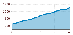
Length:5.8 kmDuration:2:30 hElevation uphill:866 m
Magnificent panoramic mountain that lives up to its name.
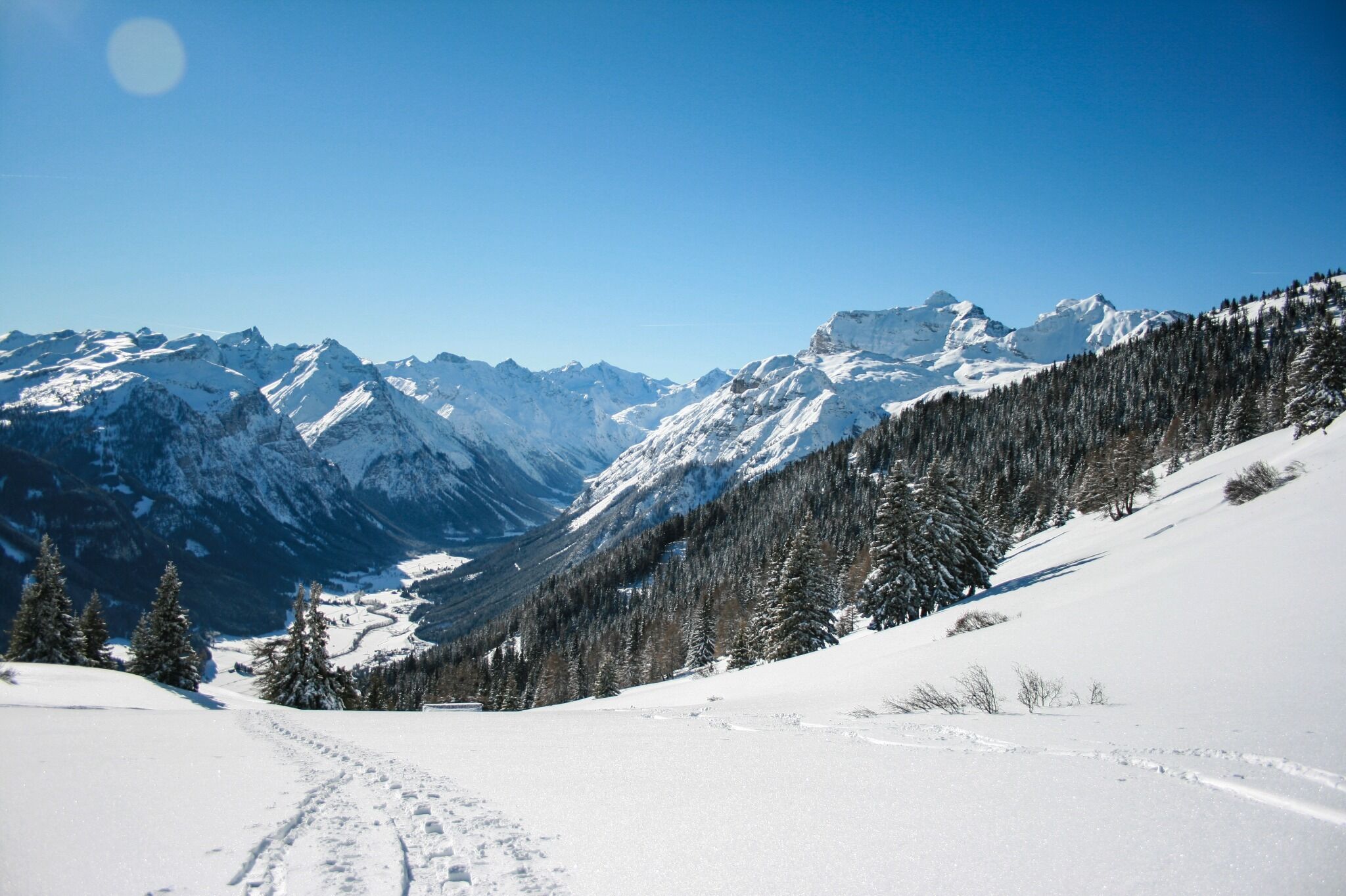
From the parking lot Blaser you follow the summer path No. 30 to the Blaserhütte, at 1500m and 1800m you cross a farm road, but stay on the marked path until you reach a hay barn. Passing this on the right to the Blaserhütte (2,180 m)., one comes closer and closer to the summit of the Blaser (2,241 m).


