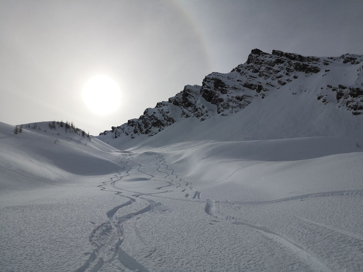
Description
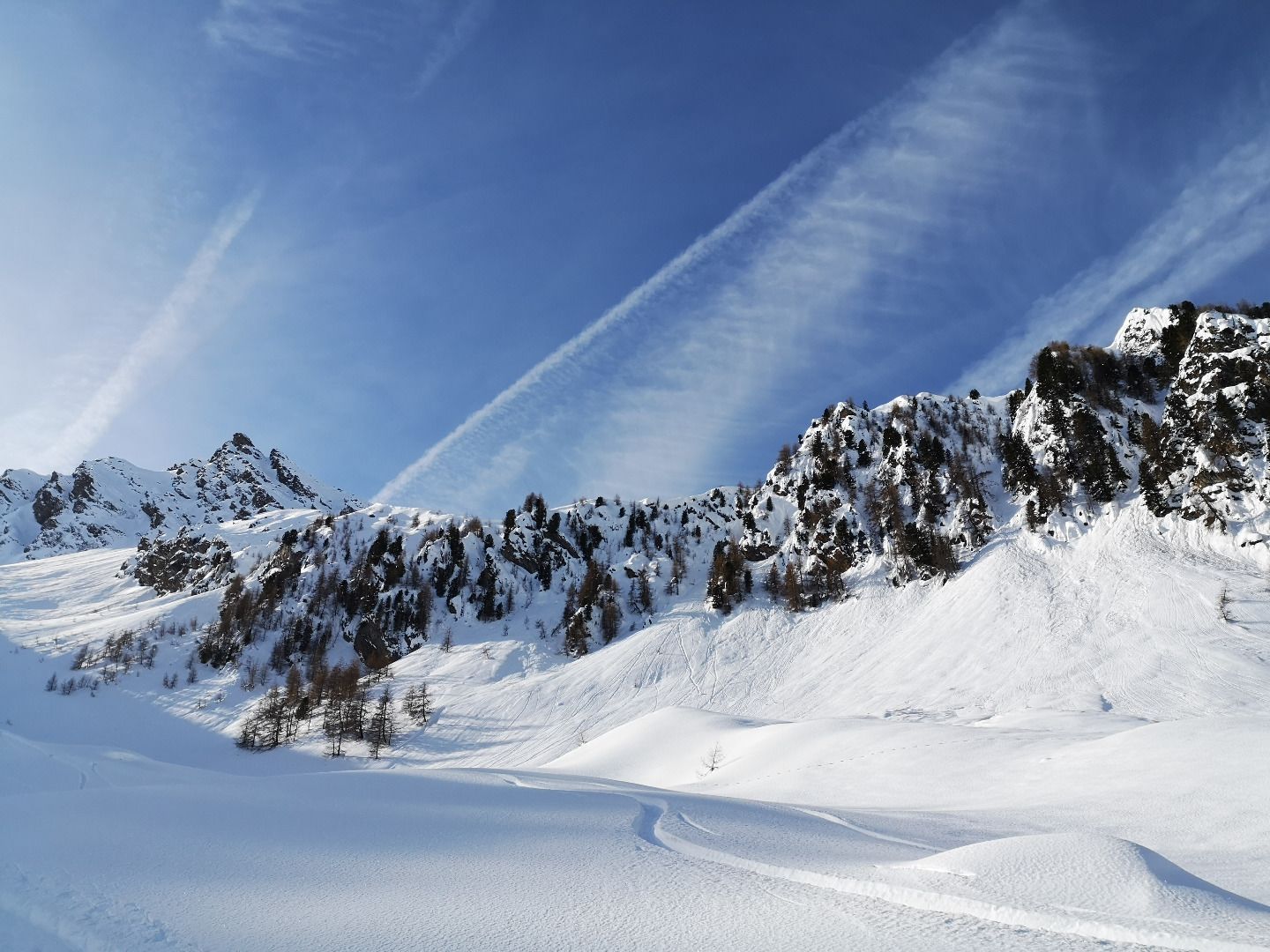
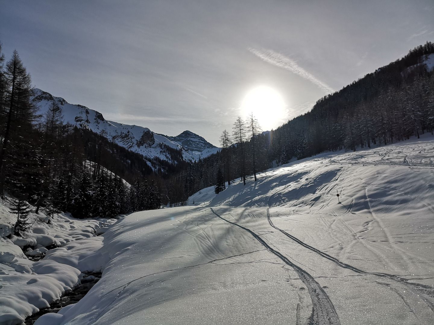
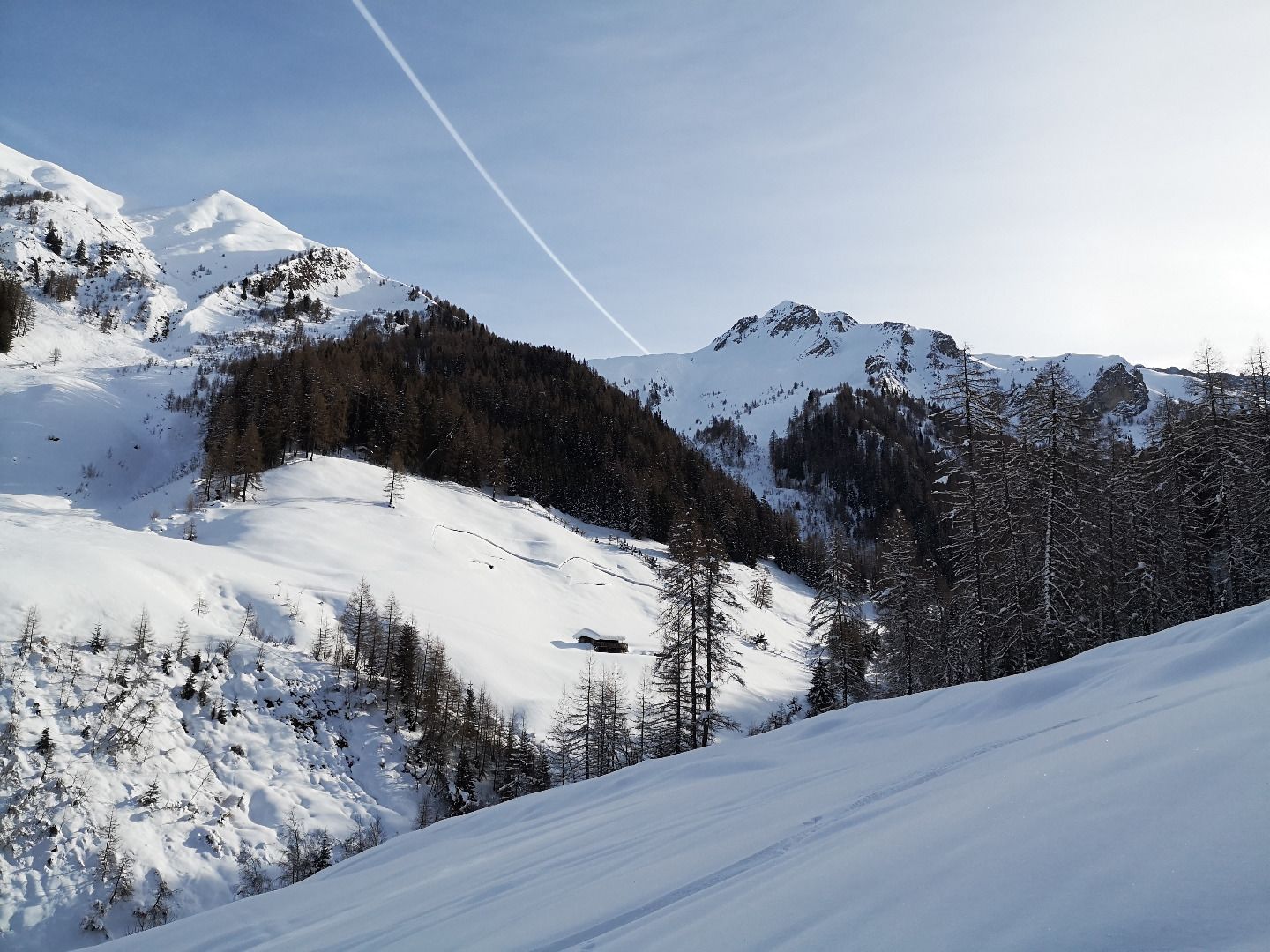
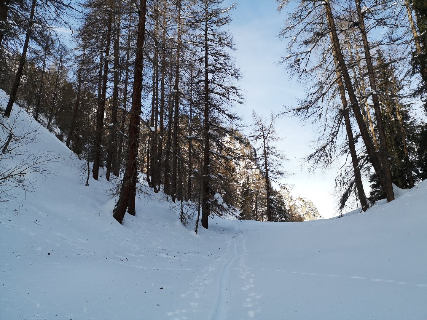
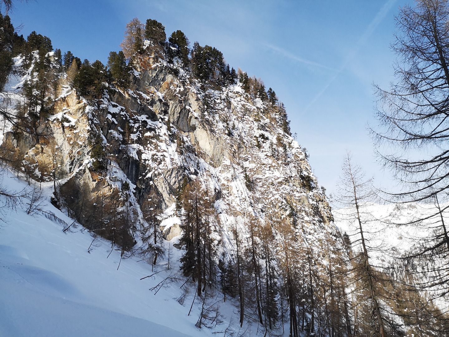
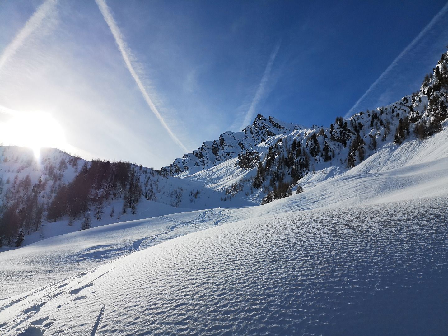
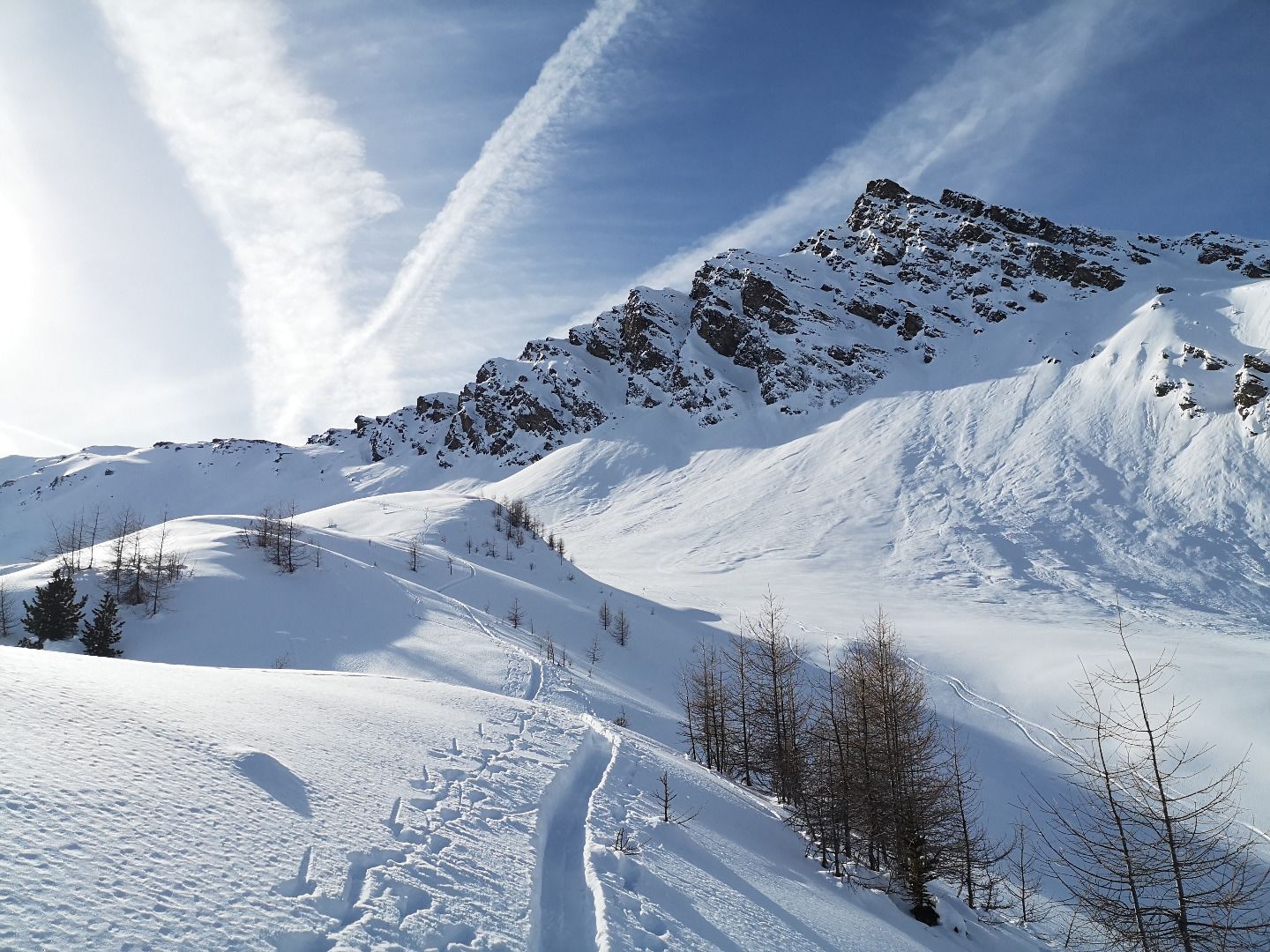
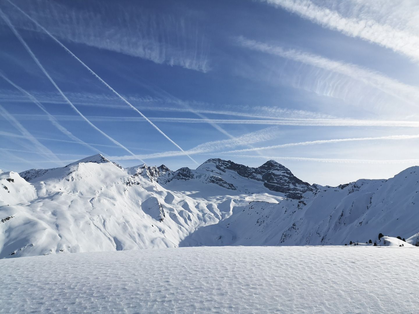
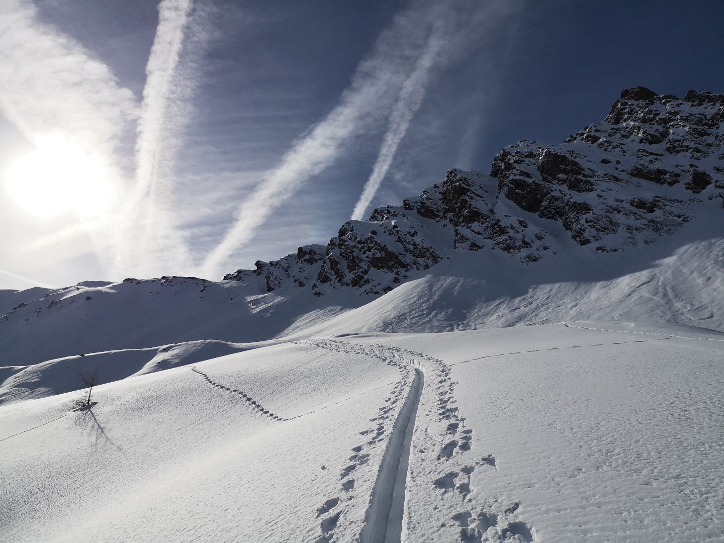
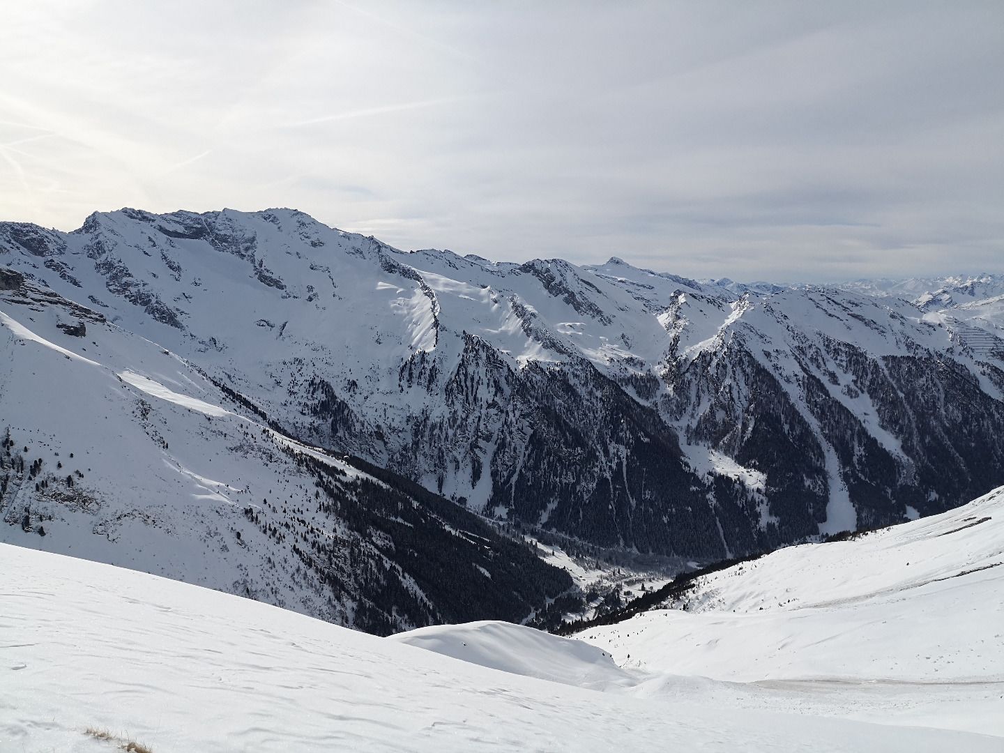
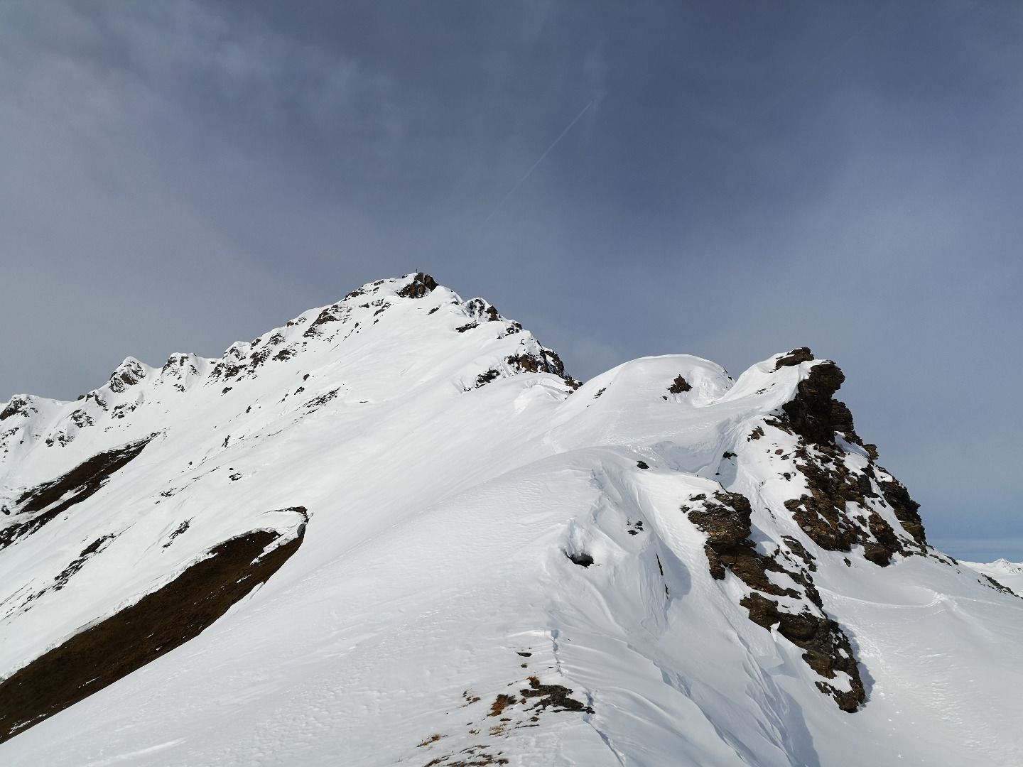
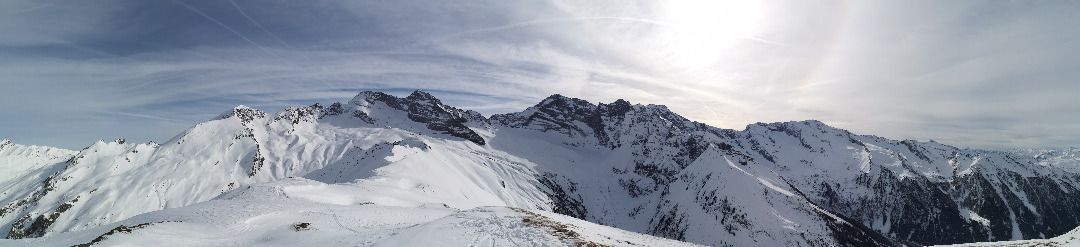
From the car park at the beginning of the beautiful Wildlahnertal valley, first follow the snow-covered forest road to the Issealm inwards. Shortly after a first bend, the ascent trail turns away to the right and leads alternately through sparse larch forests and open alpine pastures upwards to an extended arch. For the first time, the summit pyramid of the Hohe Warte appears in all its wildness and splendour; Olperer and Fussstein also tower in the distance. Over a small ridge you finally reach a last steep slope that leads up to the Scharte. This is to be enjoyed with caution due to its exposure and steepness, but in excellent conditions it can definitely be climbed. The last section from the Scharte up to the summit is also very steep, extremely exposed on both sides and often only conquerable without skis. But once you have made it to the summit, you are rewarded with a magnificent view of the rear Valser and Schmirn valleys and their magnificent peaks.
SAFETY ADVICE
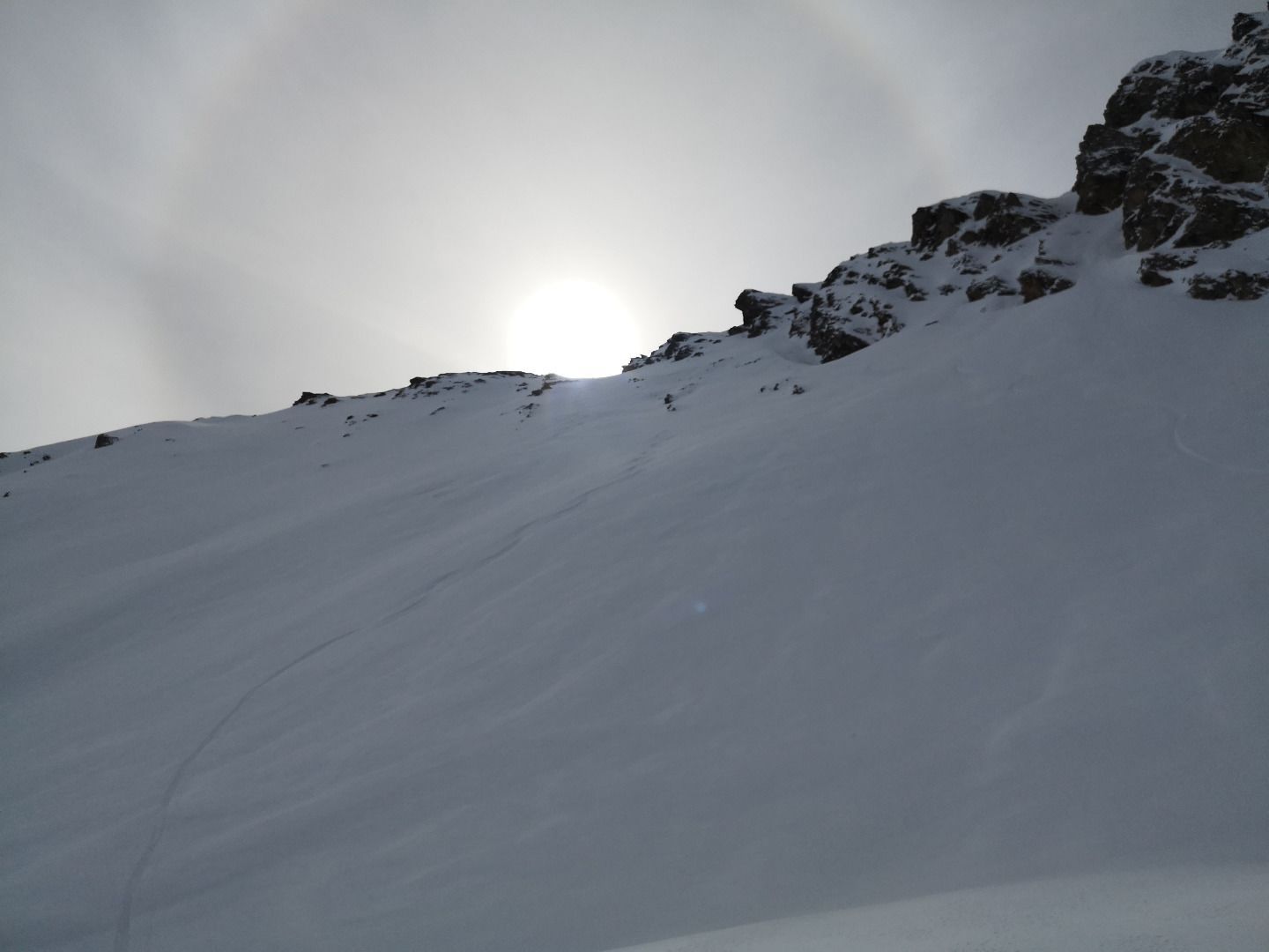
The tour to the Hohe Warte is exposed purely on the north side. Particularly in the upper area, there are very steep slopes to cross and ski, so the tour can only be undertaken in very good avalanche conditions. The ascent from the ridge to the summit is very exposed and leads over very steep south-facing slopes. Pay particular attention to the snow situation and sunlight.
ROUTE DESCRIPTION
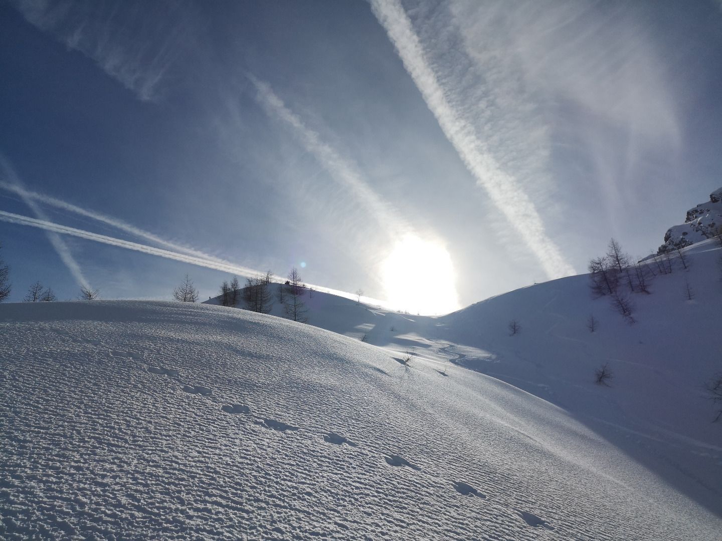
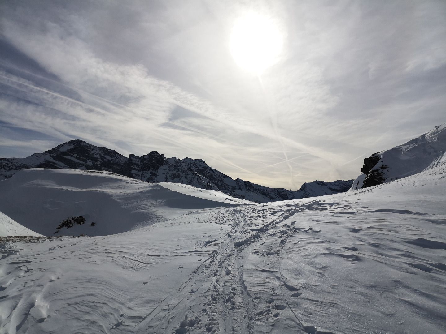
From the starting point, first follow the forest road into the Wildlahnertal valley. Immediately after passing a small shrine behind a first hairpin bend, the ascent track turns to the right and essentially follows the summer path to the Hohe Warte. At first, the trail winds its way upwards across open, grazed alpine pastures and sparse larch forests, mostly in hairpin bends. At an altitude of about 1950m, you finally reach an extensive plain, bordered on the right by the steep walls of the Hohe Napf. Here, keep to the left as much as possible and head for a narrow ridge that stretches up to below the Scharte. On this ridge, you now go up in a pleasant slope with slight back and forth, the initially rather steep course becomes visibly flatter. Finally, the ridge turns into the foothills of the steep final slope below the Scharte. Here you have to pay special attention to the choice of a suitable track. It is best to keep to the right at the beginning and climb up in narrow hairpin bends to just below the outgoing rocks. Once you have reached them, there is a long traverse to the south-east (left) before you reach the saddle with two three more hairpin bends. From here, depending on the snow conditions, you ski or walk along the ridge in a westerly direction for about 200 m up to the summit. All those who are not quite sure about this challenge are advised to end the tour when they reach the saddle.
Descent
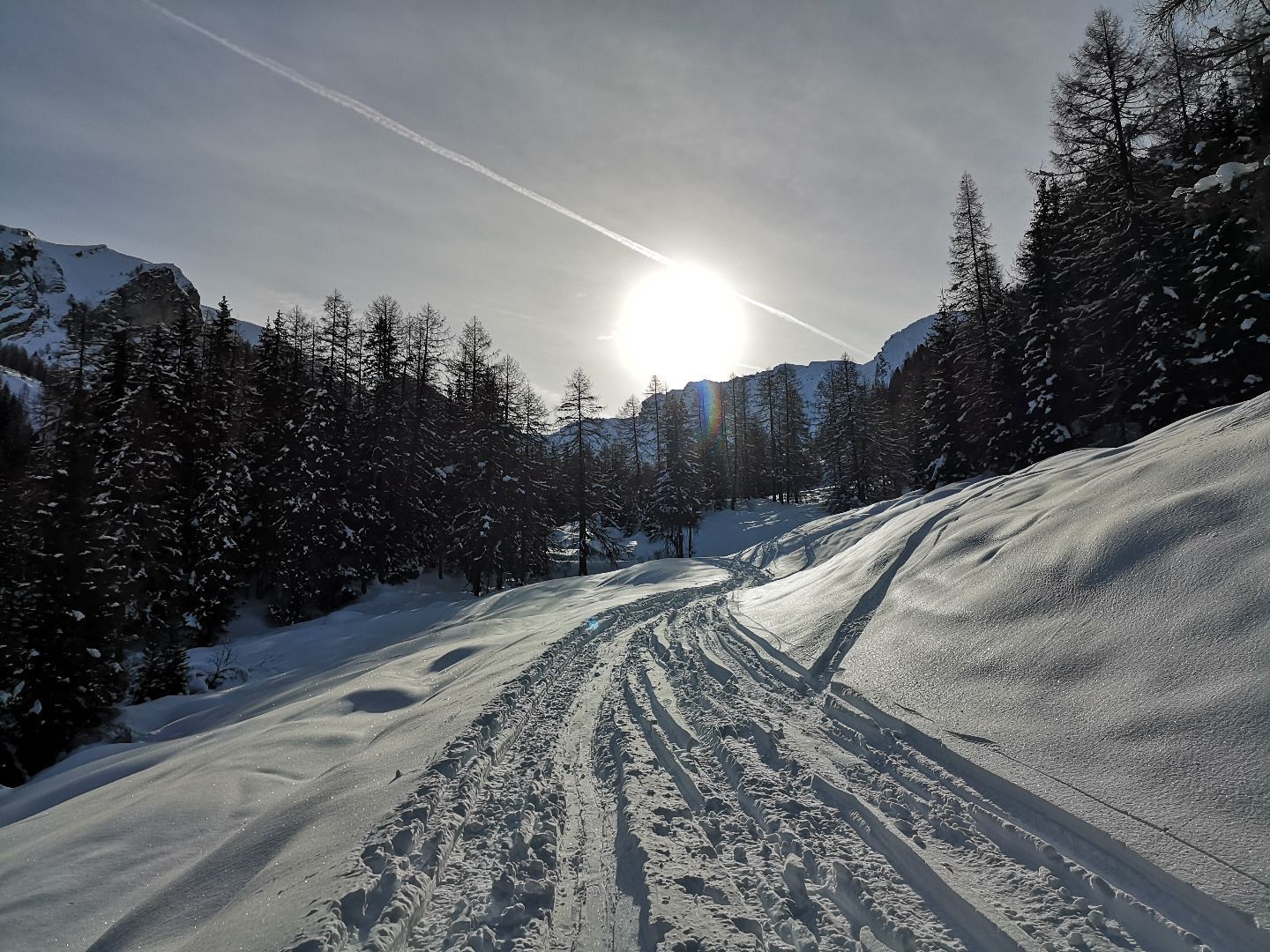
The descent is mainly along the ascent track. In good conditions, you can also ski down from the Scharte to the Issealm and from there via the forest path back to the car park.
TIP OF THE AUTHOR
A snack in the sunshine in front of the magnificent panorama of the Tuxer Hauptkamm on the Scharte of the Hohe Warte is a special experience.