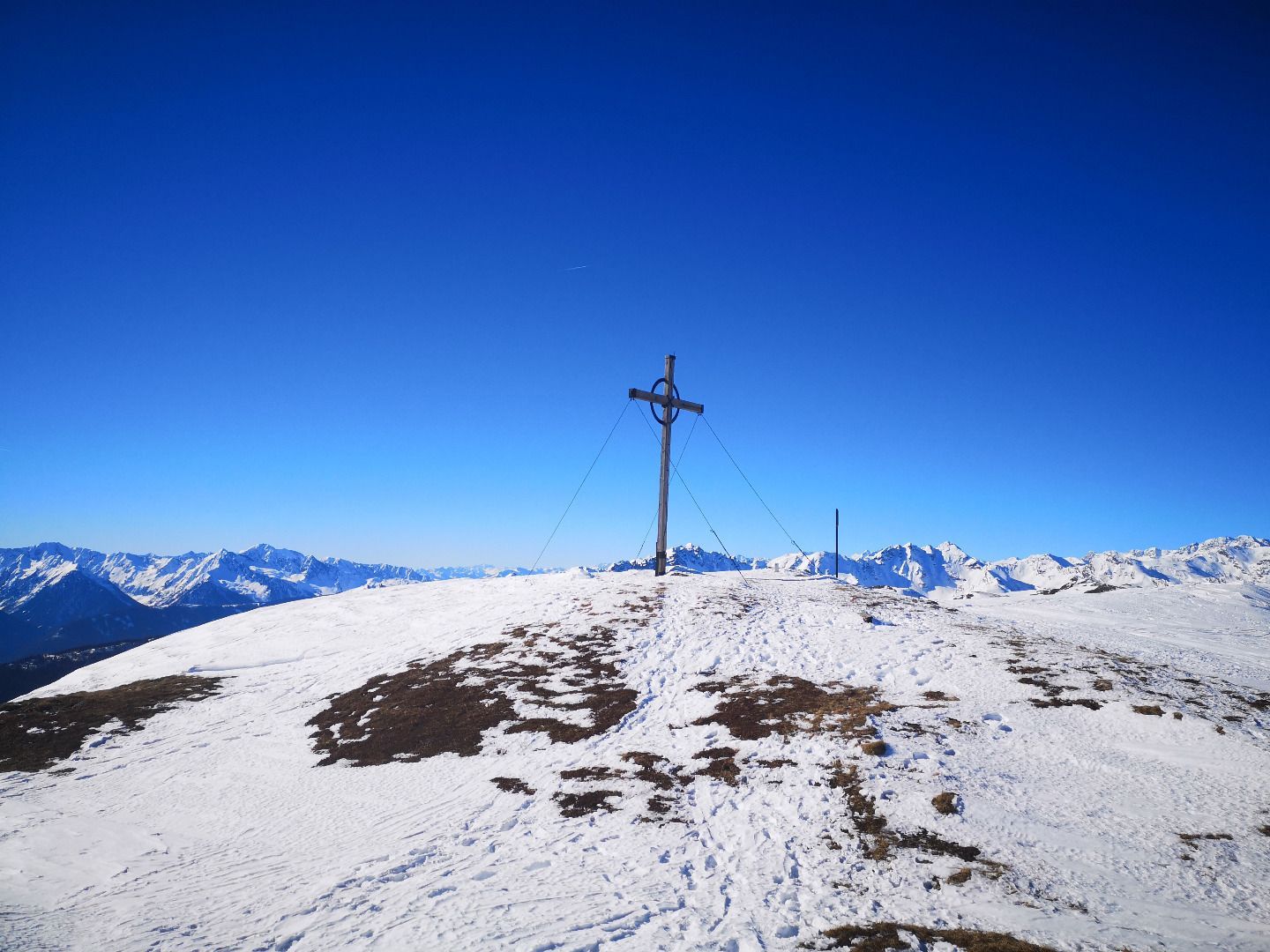
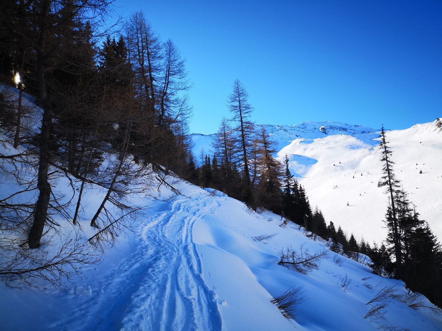
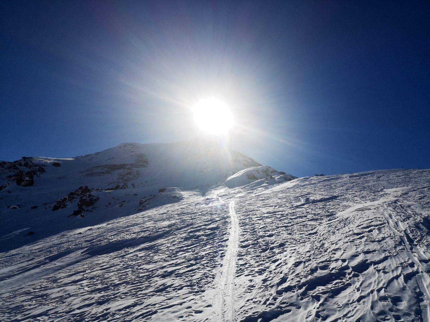
Open interactive mapOpen this POI on the interactive mapElevation profileHoher Lorenzen (2,313 m).gpx
ski_tour_breiteggspitz_wildschoenau_csilberberger_44 © TVB Wildschönau | Christine Silberberger BreiteggspitzeDifficulty:easyLength:3.4 kmDuration:2:00 hElevation uphill:700 mGo to skitourGo to skitour: Breiteggspitze
BirgitzköpflDifficulty:easyLength:6.4 kmDuration:2:00 hElevation uphill:726 mGo to skitourGo to skitour: Birgitzköpfl
SattelbergDifficulty:easyLength:3.3 kmDuration:2:30 hElevation uphill:900 mGo to skitourGo to skitour: Sattelberg
RosshütteDifficulty:easyLength:4.5 kmDuration:1:30 hElevation uphill:554 mGo to skitourGo to skitour: Rosshütte
Golzentipp über GrippDifficulty:easyLength:3.6 kmDuration:2:45 hElevation uphill:860 mGo to skitourGo to skitour: Golzentipp über Gripp
Ski tour in Seefeld © TVB Seefeld Seefelder Joch Difficulty:mediumLength:5.8 kmDuration:2:30 hElevation uphill:866 mGo to skitourGo to skitour: Seefelder Joch
Faltegartenköpfl Difficulty:easyLength:8.8 kmDuration:2:30 hElevation uphill:430 mGo to skitourGo to skitour: Faltegartenköpfl
Astegg-Penken Difficulty:easyLength:7 mDuration:2:00 hElevation uphill:720 mGo to skitourGo to skitour: Astegg-Penken
Compedal SchihütteDifficulty:easyLength:2.1 kmDuration:1:30 hElevation uphill:390 mGo to skitourGo to skitour: Compedal Schihütte
Ski tour to the Mutterer Alm © Innsbruck Tourismus | Helga Andreatta Mutterer Alm Difficulty:mediumLength:3.1 kmDuration:2:00 hElevation uphill:581 mGo to skitourGo to skitour: Mutterer Alm
Ski tour to the Bichlalm © Kitzbühel Tourismus | Michael Werlberger Bichalm Difficulty:easyLength:2.4 kmDuration:1:30 hElevation uphill:450 mGo to skitourGo to skitour: Bichalm
Piste tour via the ladies' slope to the Hoadl Haus © Axamer Lizum Hoadl-HausDifficulty:easyLength:7.6 kmDuration:2:25 hElevation uphill:778 mGo to skitourGo to skitour: Hoadl-Haus
Ski tour via the Olympic route to the mountain station on the Patscherkofel © Innsbruck Tourismus | Daniel Zangerl Patscherkofel Schutzhaus Difficulty:mediumLength:13.3 kmDuration:2:30 hElevation uphill:1,000 mGo to skitourGo to skitour: Patscherkofel Schutzhaus
Ski tour Route Eichenhof © Kitzbüheler Alpen - St. Johann | Mirja Geh Eichenhof Difficulty:mediumLength:4.7 kmDuration:2:50 hElevation uphill:898 mGo to skitourGo to skitour: Eichenhof
Give feedback for a chance to win a special holiday experience!Click here for the surveyClick here for the survey