Arrival by public transport
With the regional bus 4144 from Steinach am Brenner to Schmirn to the stop "Untere Holzebensiedlung". Exact timetable: www.vvt.at. From there, walk along a forest path out of the valley until you meet the ascent track.
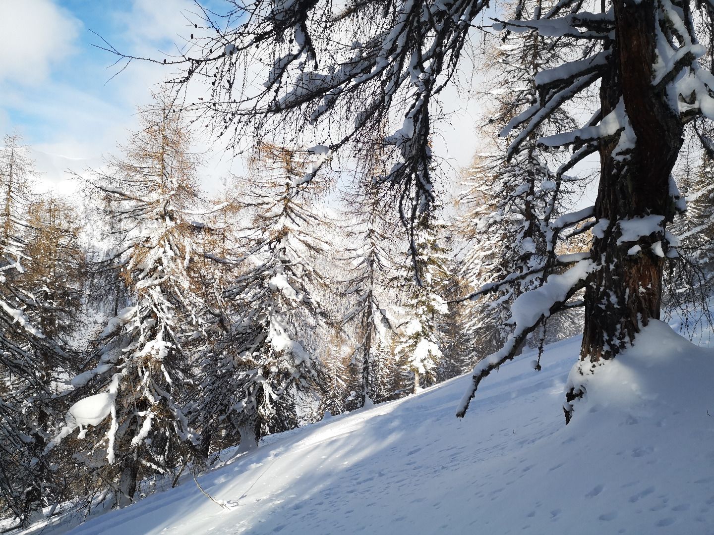
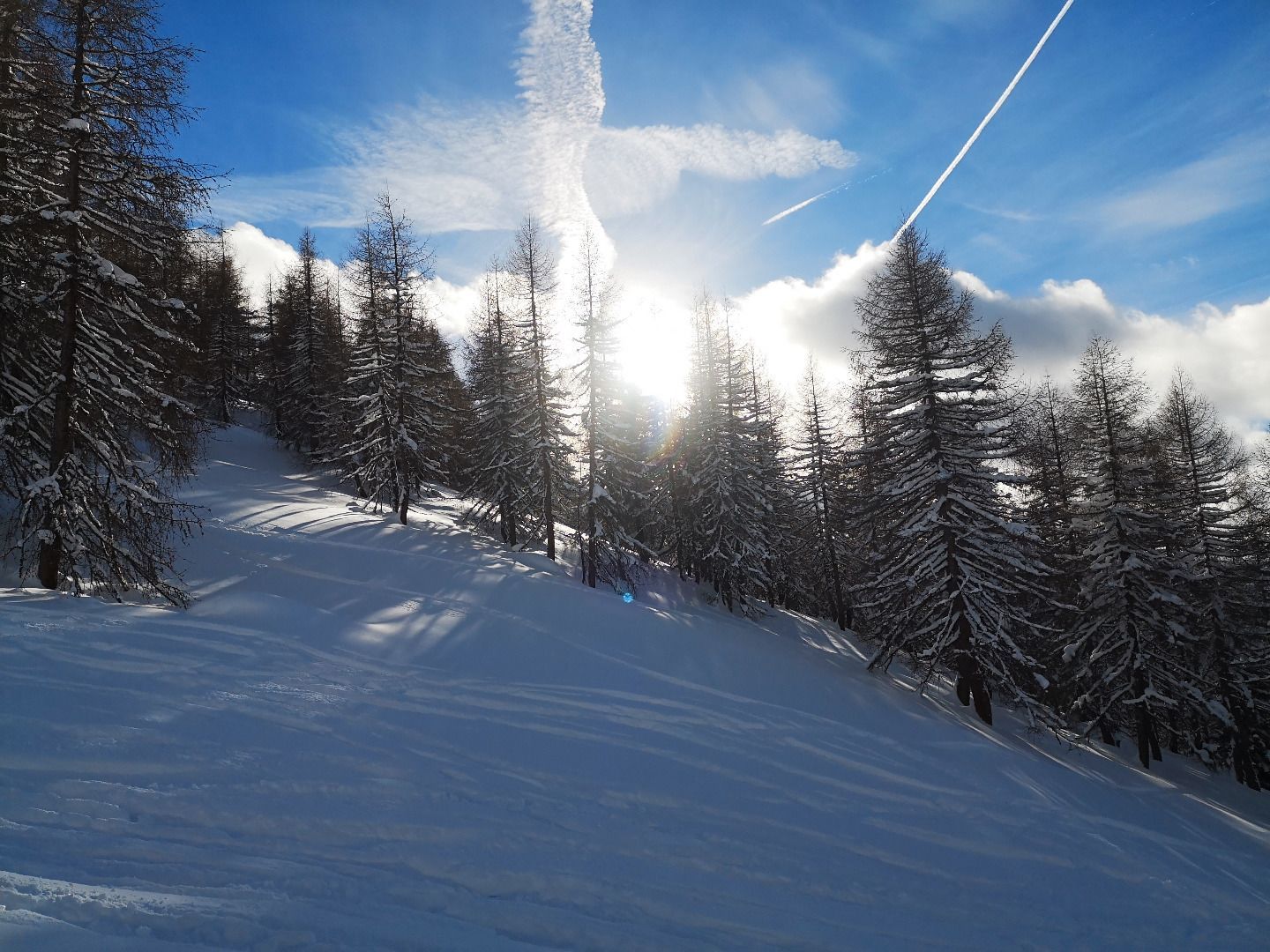
Moderately difficult ski tour in the Schmirntal valley with a beautiful view of the imposing Olperer. Ascent via a forest aisle, further up through a sparse larch forest and above the forest line into open terrain. Finally over a narrow ridge to the Hoher Napf, alternatively the Rauhe Kopf can be defined as the destination.
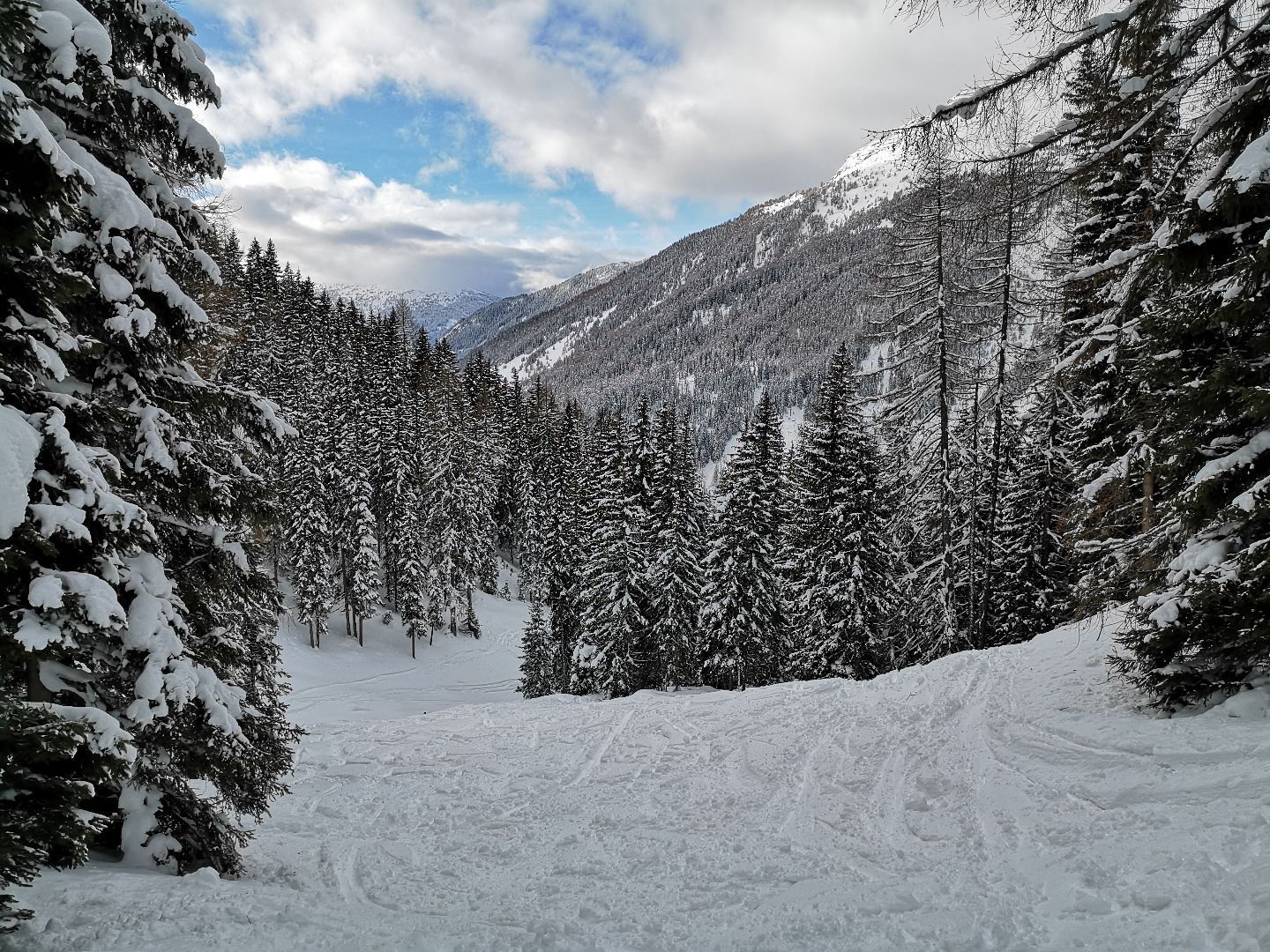
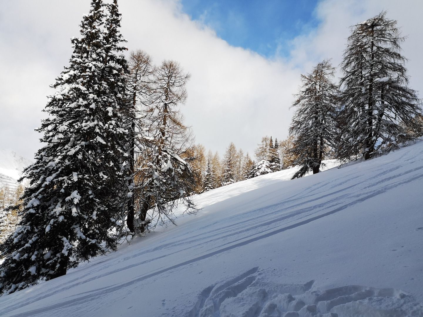
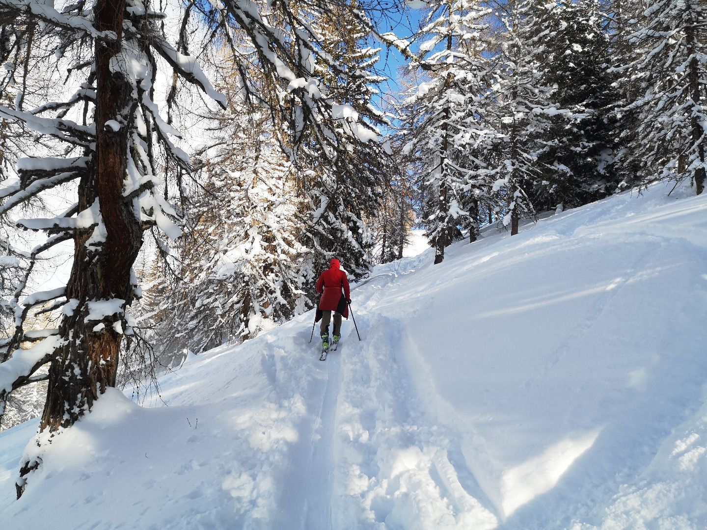
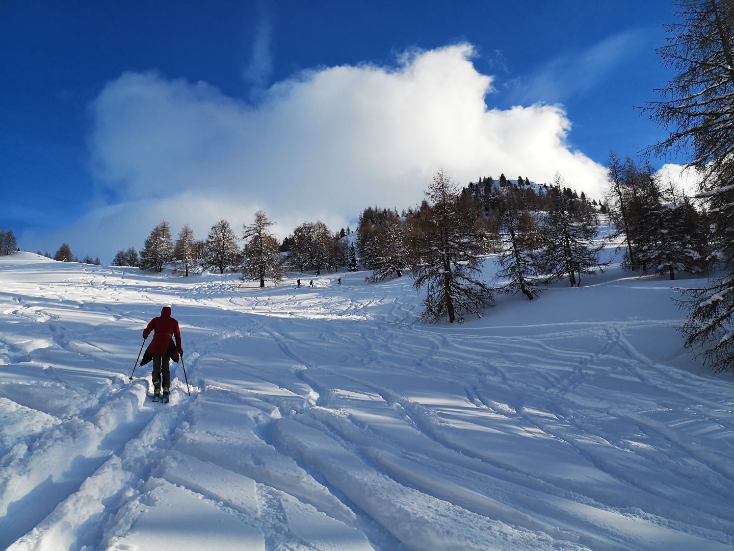
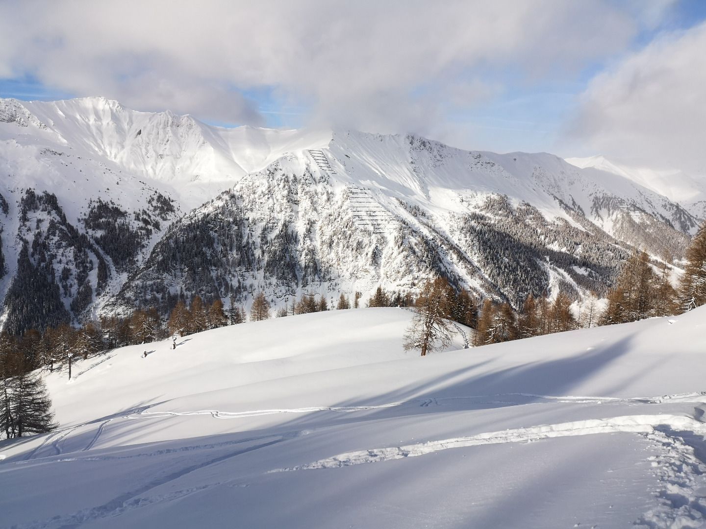
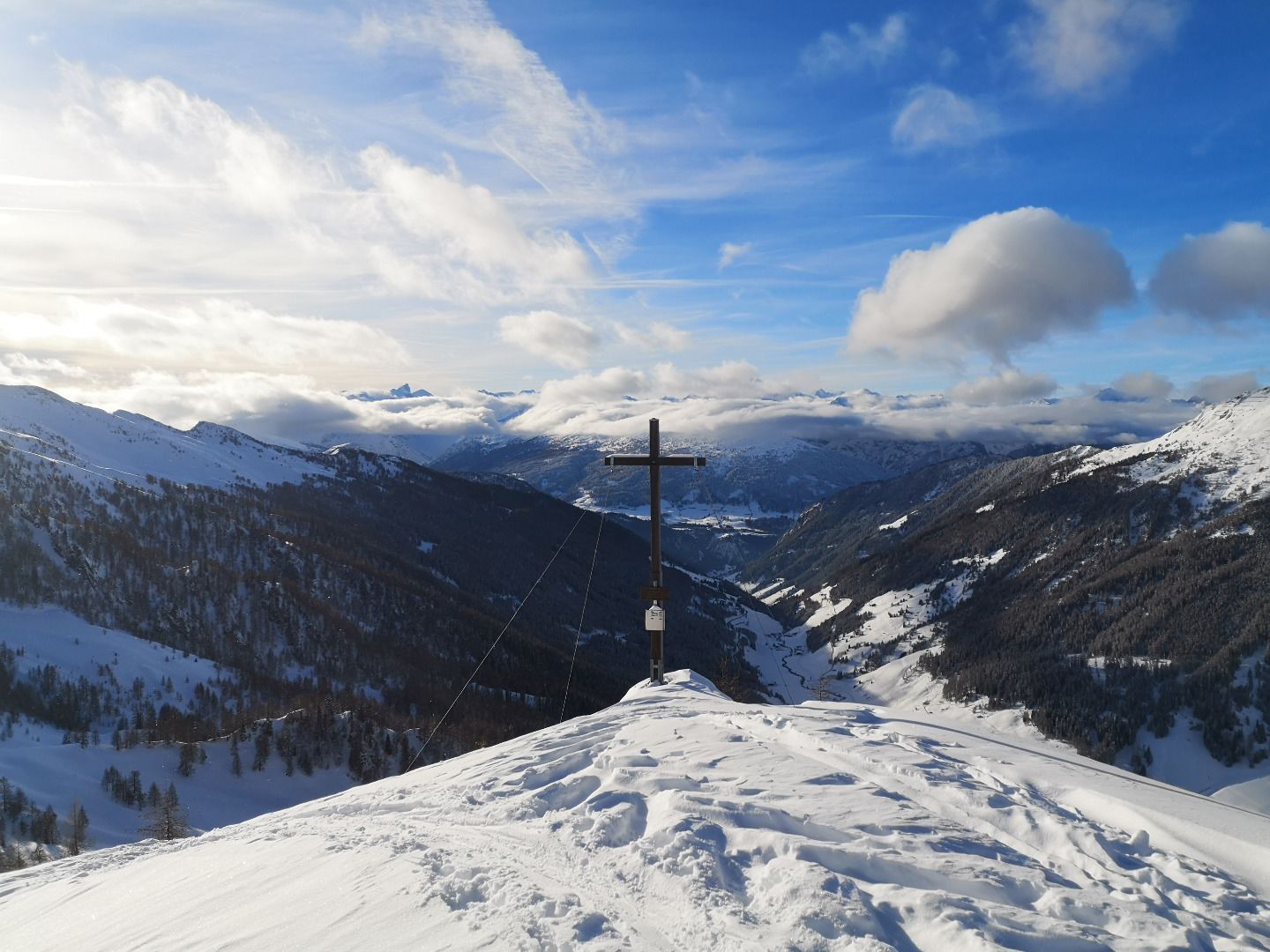
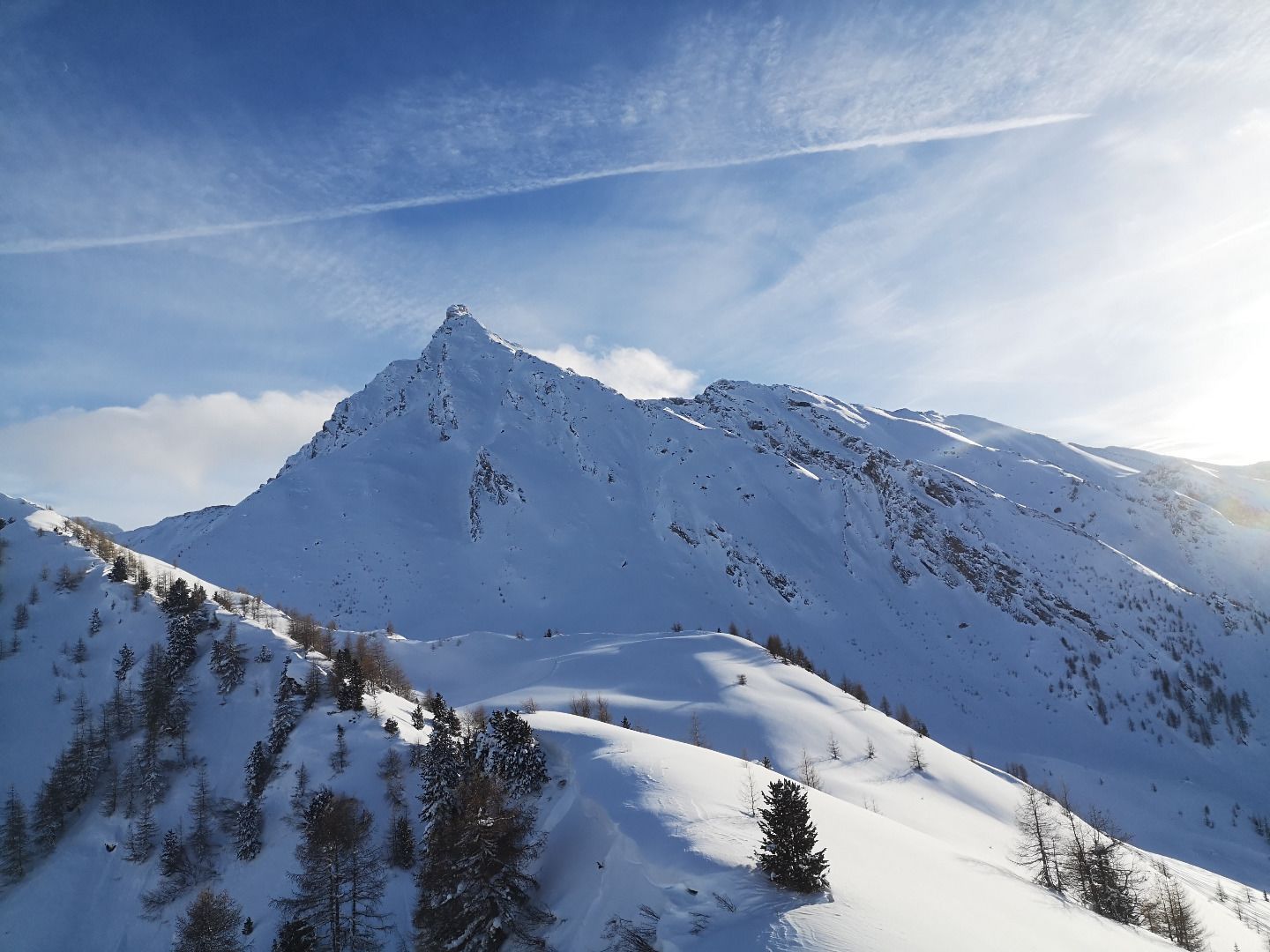
From the starting point, first go straight up over a meadow, cross a forest path at the upper right end and follow the forest aisle to a fork. There you keep to the left and continue climbing over the less steep terrain. The trail leads through sparse larch forest to below a round mountain with stone pine trees (Rauer Kopf), then keep to the right on the ridge and then stay about 30 below the crest. Cross the steep slope and descend to the lower saddle. Continue across a hollow and up to a steep north-west slope, pass it on the right and climb up as far as possible (ski depot). Finally, climb along a narrow, steep ridge to the highest point at the summit.
DESCENT
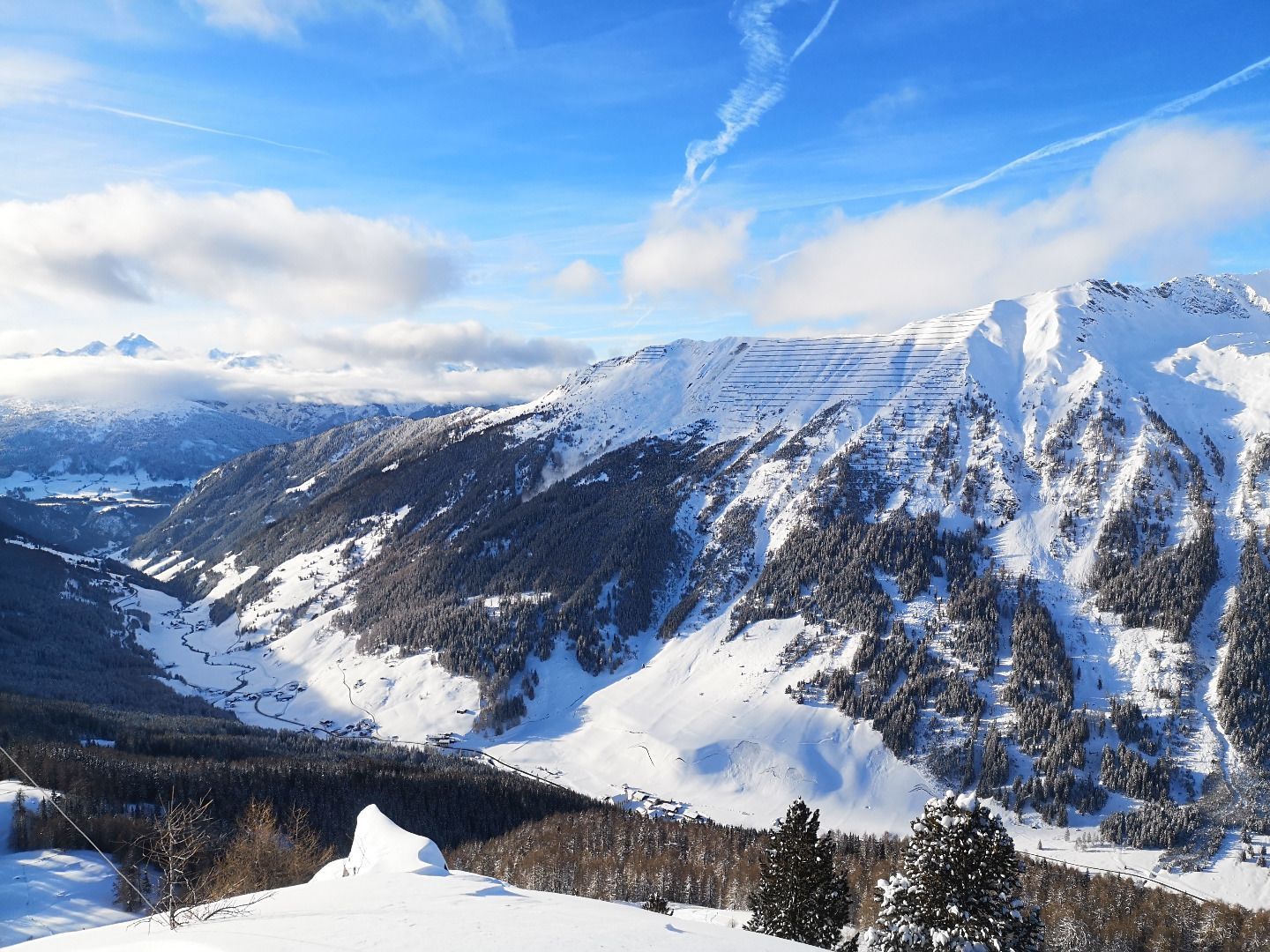
Descent mainly along the ascent track. Alternatively, you can ski down over the alpine pastures and larch forests below the Rough Head. No technical difficulties are to be expected, but care should be taken when skiing down the steep west-facing slopes between Rauhen Kopf and Zirmaalm.
TIP OF THE AUTHOR
As an alternative to the ascent, a route past the Kalte Herberge and up through the woods is also suitable. Shortly below the Rauhen Kopf, you will rejoin the normal ascent track.
Above through a sparse larch wood and up to the open terrain above the timberline. Finally over a narrow ridge to the Hoher Napf, alternatively the Rauhe Kopf can be defined as the destination.
With the regional bus 4144 from Steinach am Brenner to Schmirn to the stop "Untere Holzebensiedlung". Exact timetable: www.vvt.at. From there, walk along a forest path out of the valley until you meet the ascent track.
Opposite the Schmirn fire station on the other side of the stream, there is parking just after the bridge next to the road and a few more at the second bend above.


