Description
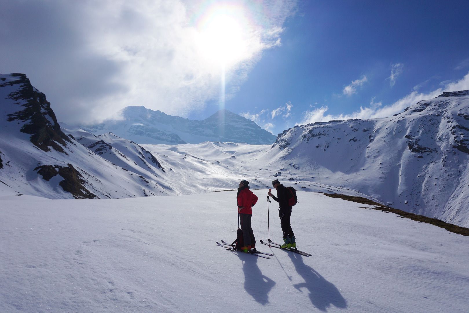
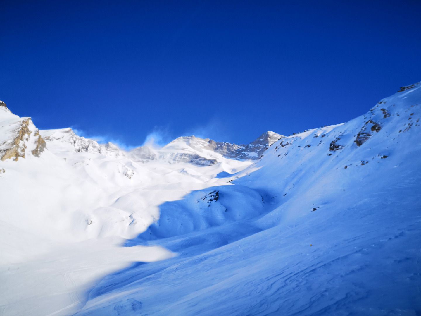
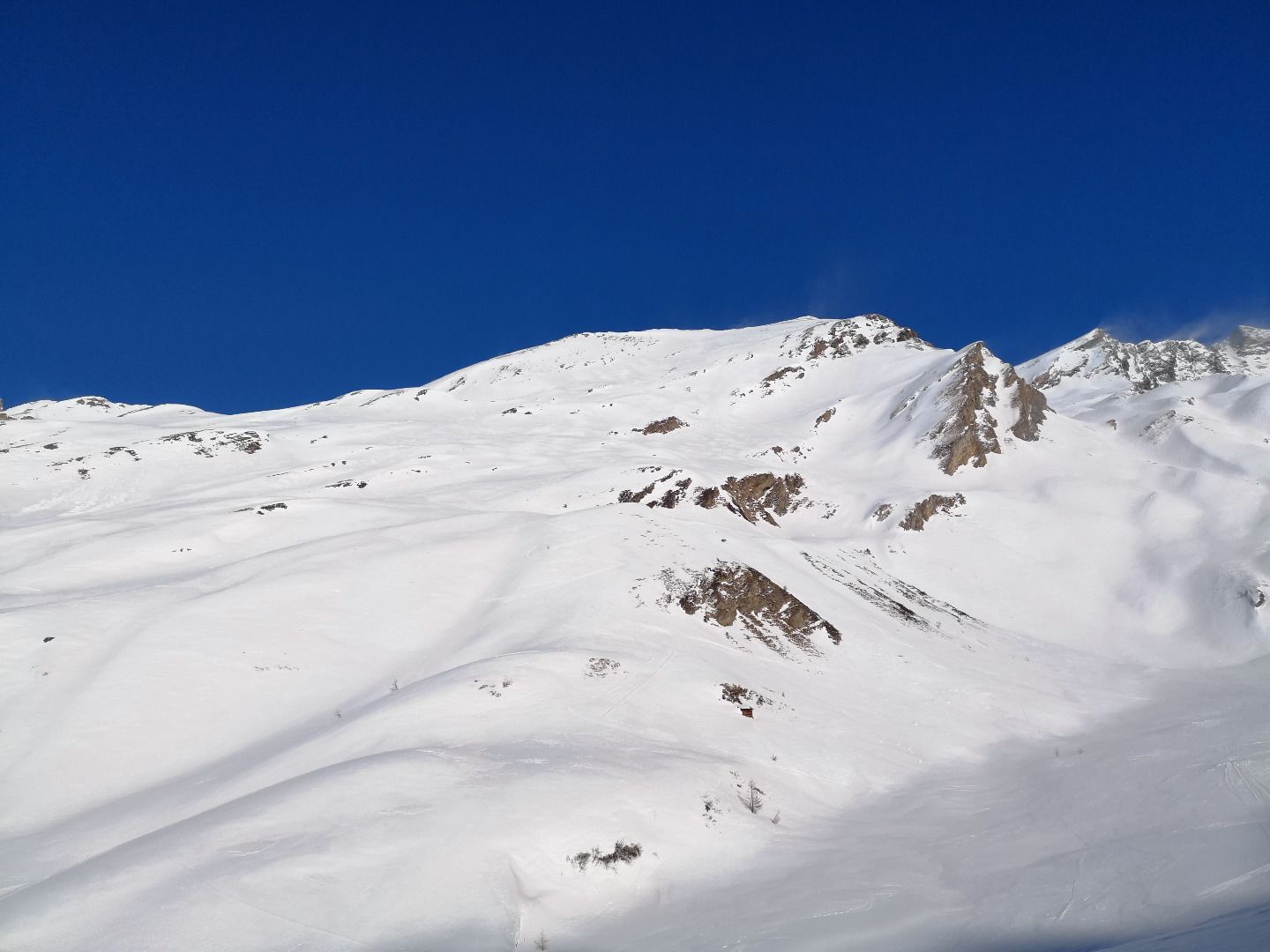
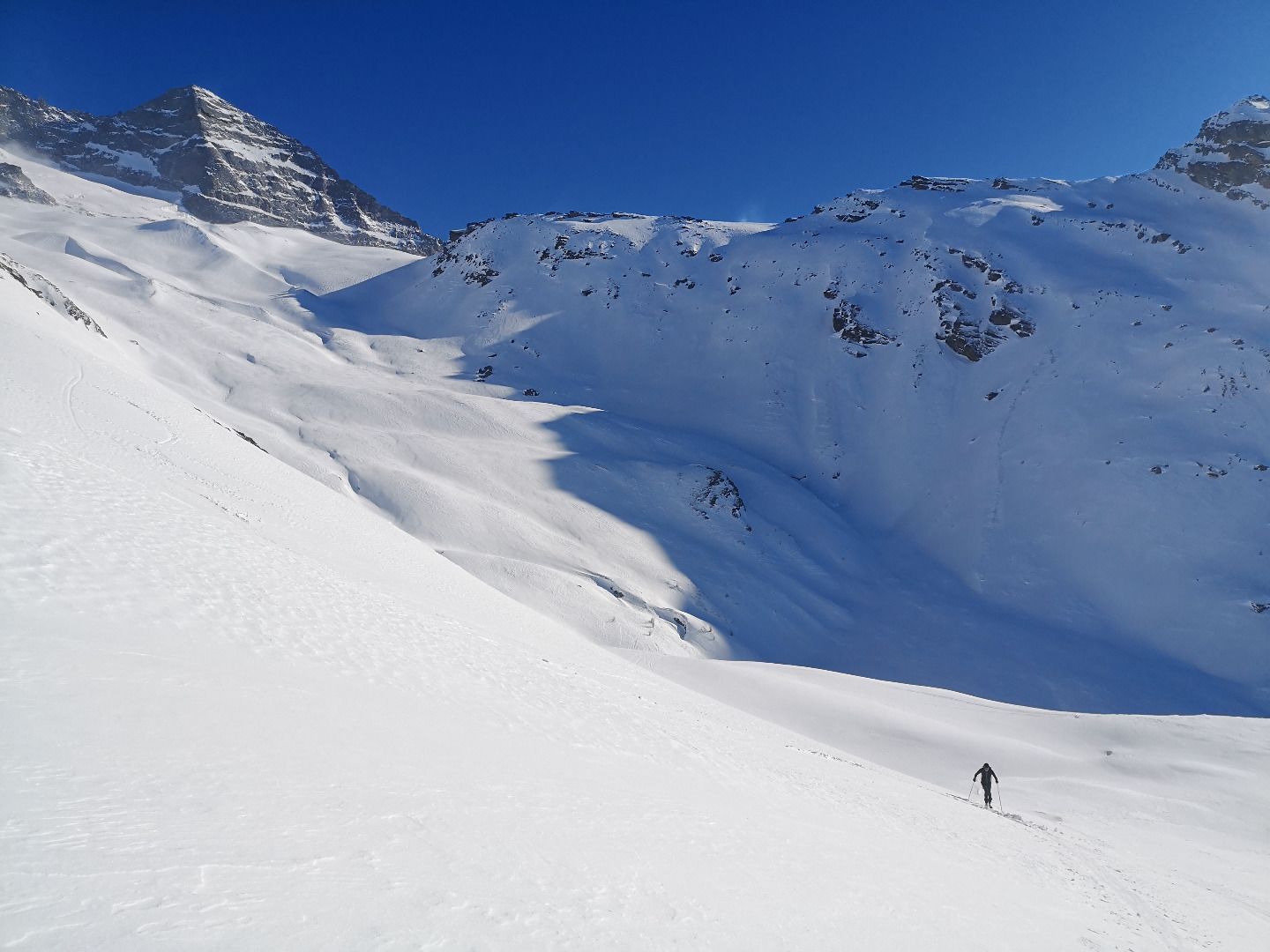
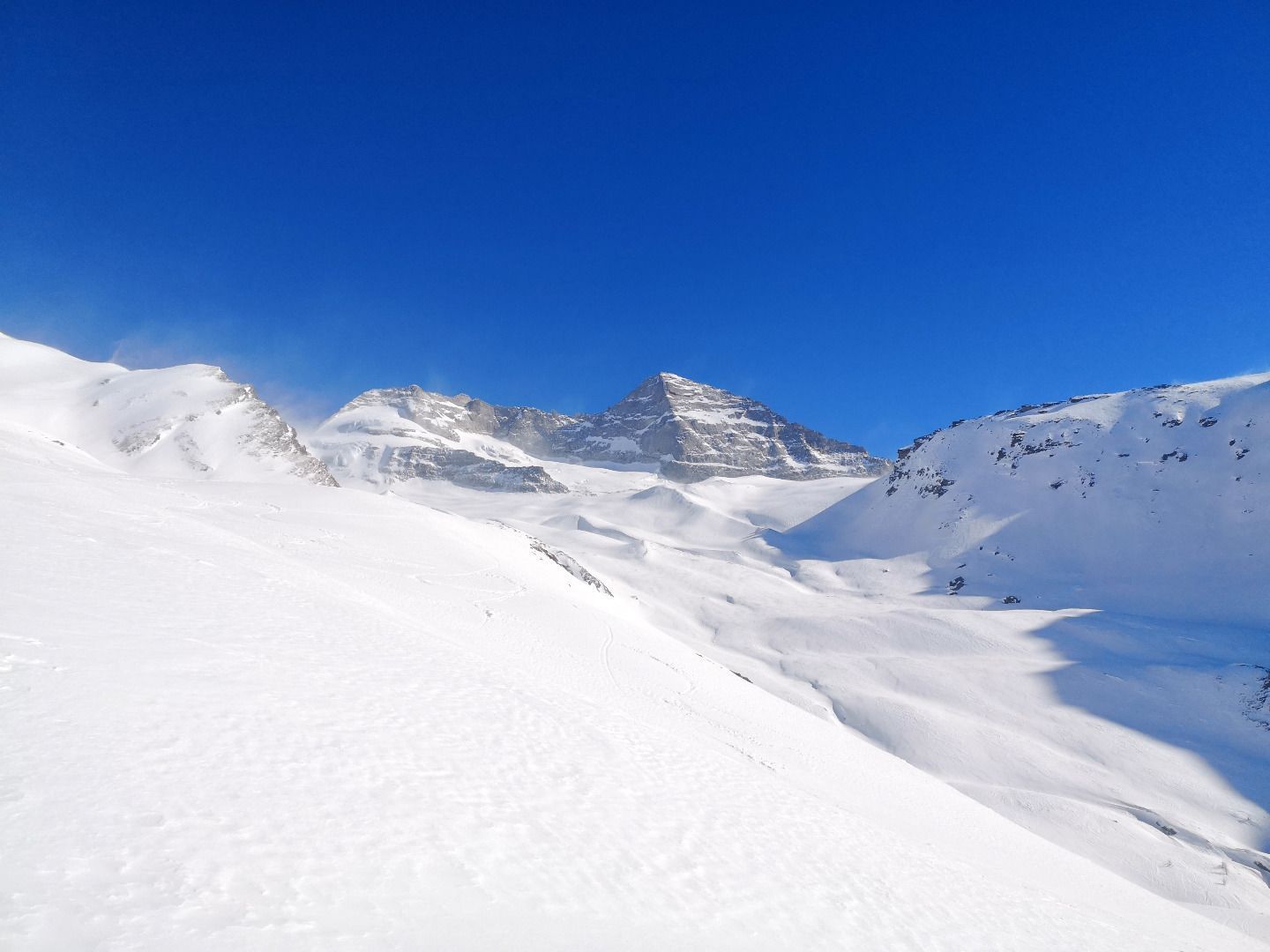
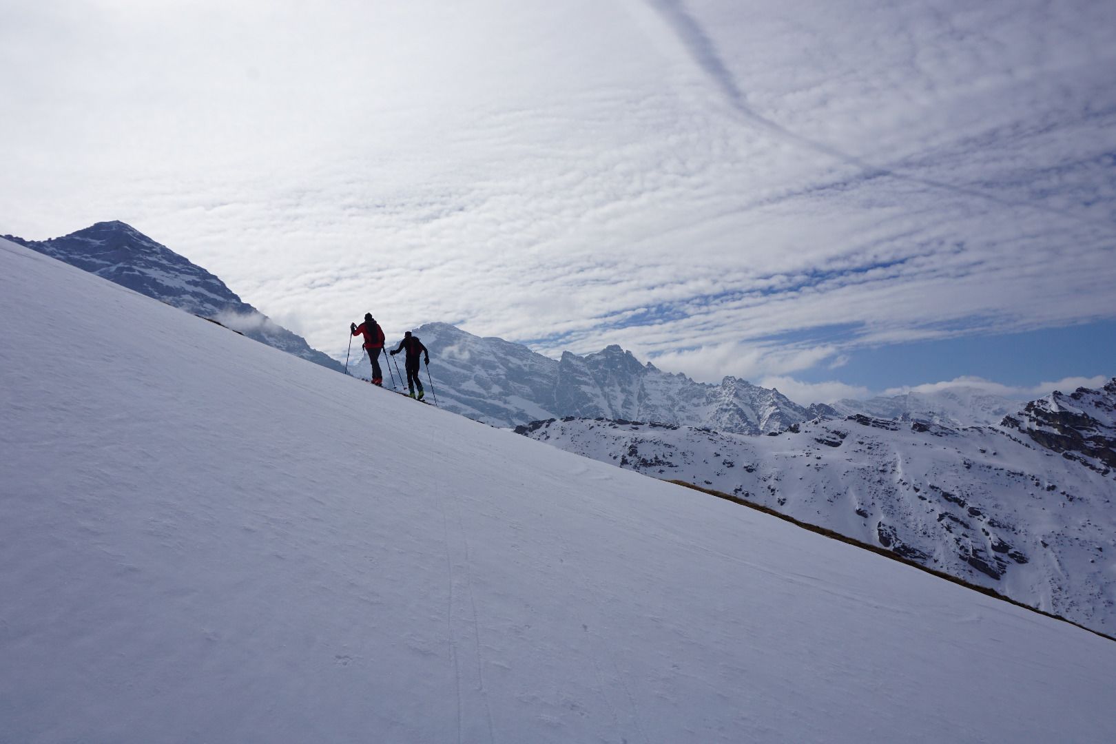
Passing the Issealm, the trail starts off quite comfortably and flatly ascending into the Wildlahnertal valley. After a first small steep step, you change from the shade to the sun and cross the frozen and snow-covered glacier stream. Now you are at the foot of an impressively steep south-west flank at a height of 800 m. The ridge continues as a west ridge. It continues as a west ridge to the summit of the Kleiner Kaserer. In stages, you climb up this respect-inspiring side, with a great view of the picturesque backdrop of the Olperer footstone massif. In the upper area, the flank becomes gradually narrower until the two ridges finally unite in one point - the destination of our tour. Before you venture on the tempting descent through the most beautiful ski terrain, you should definitely enjoy the impressive view in the warming rays of the sun.
ROUTE DESCRIPTION
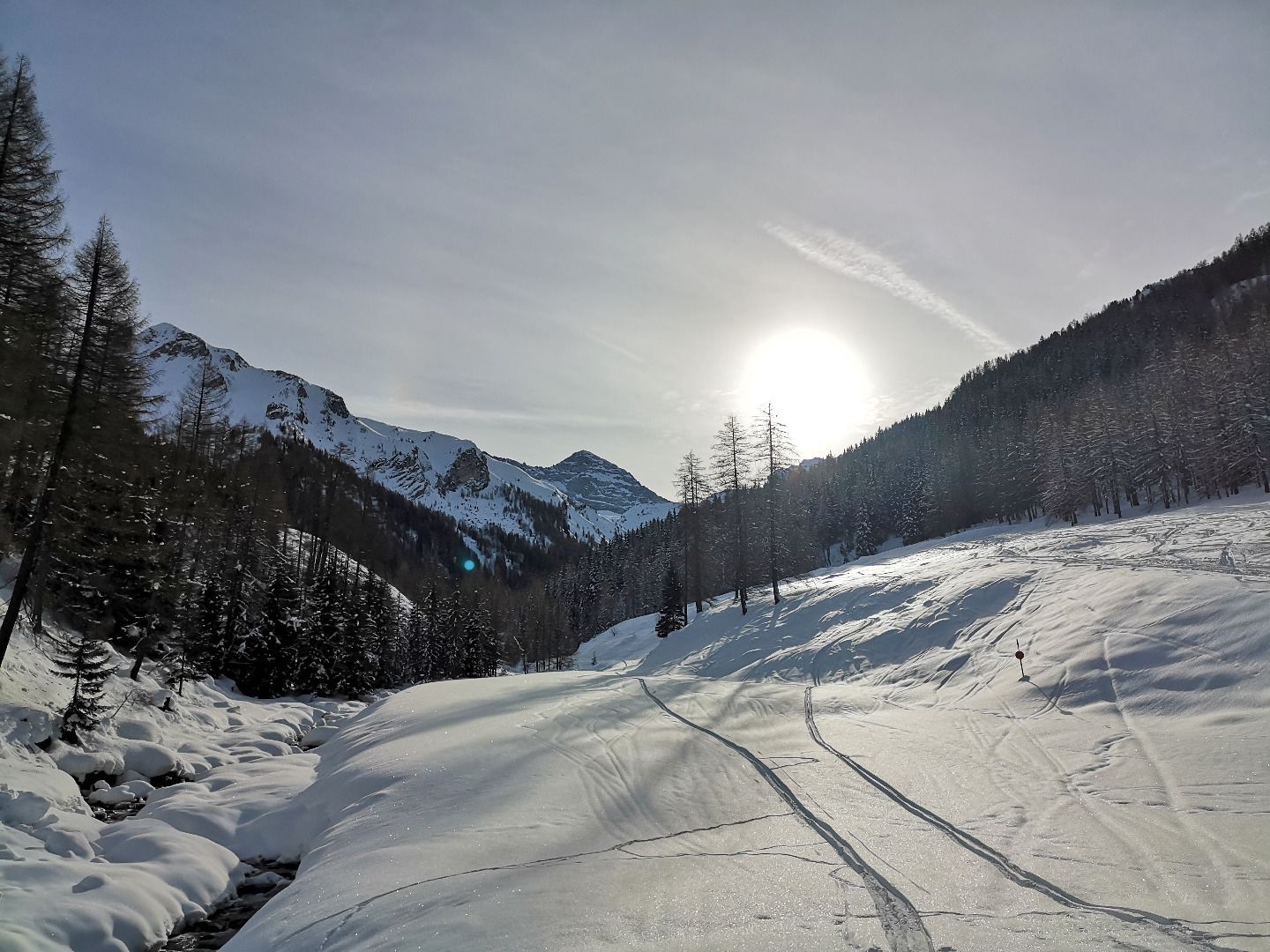
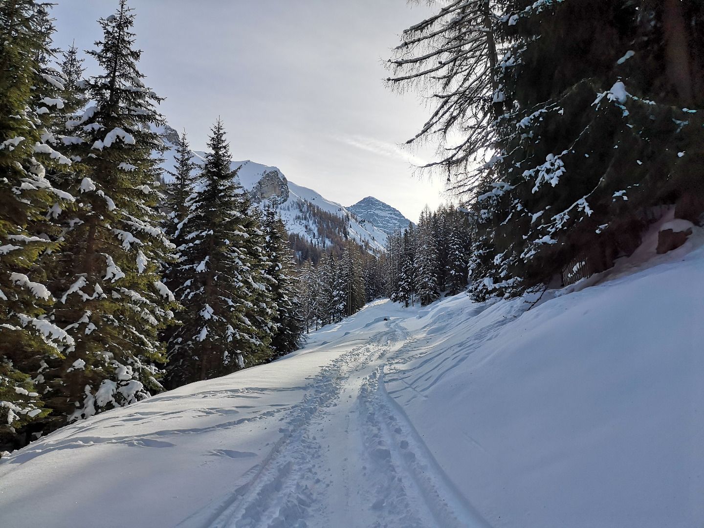
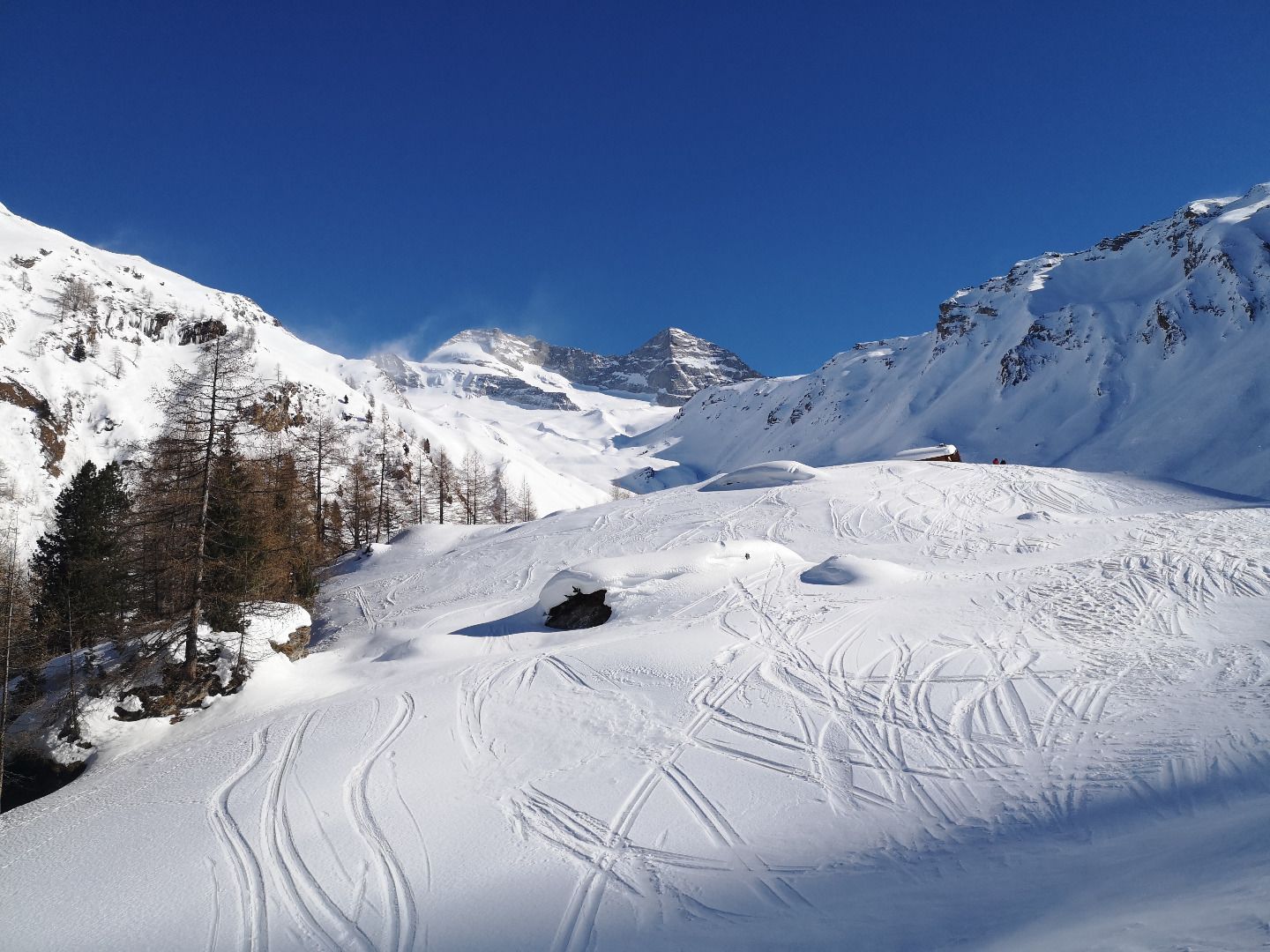
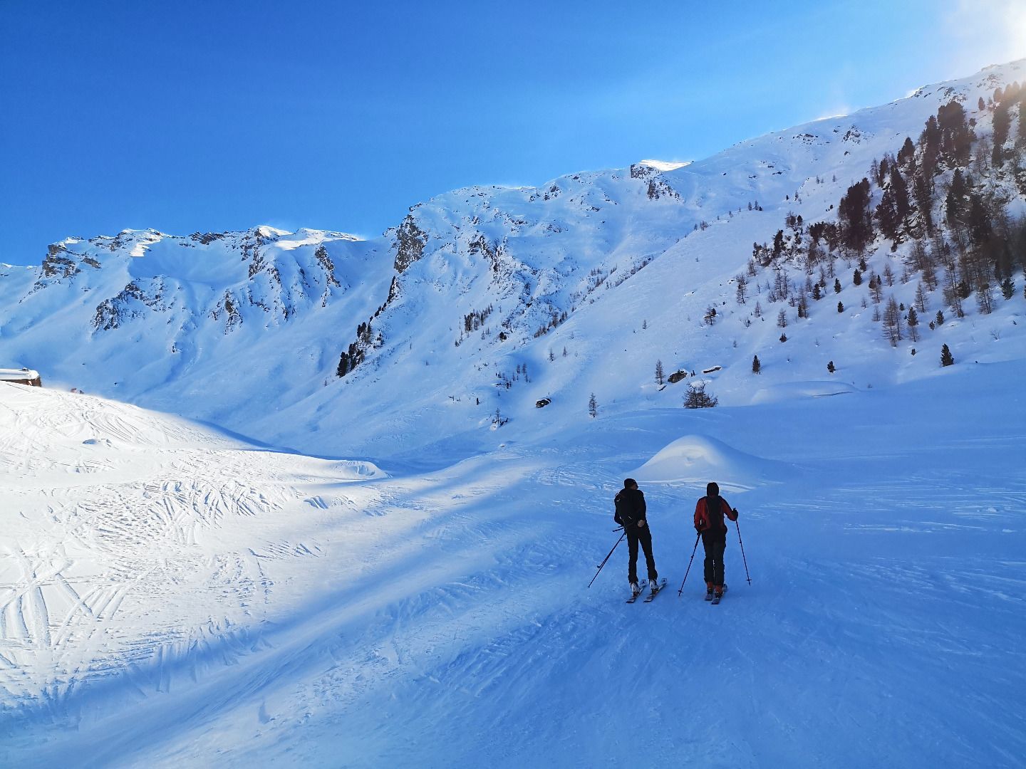
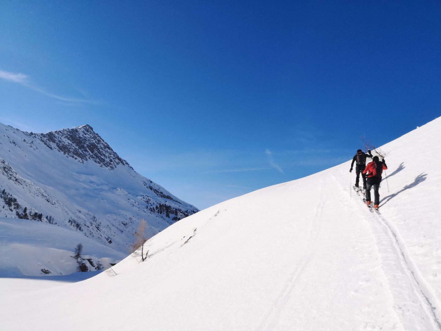
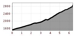
From the car park, first follow the forest path to the Issealm in a south-easterly direction. After about an hour of flat ascent, you will reach it when you leave the forest boundary on a small ground. Continue in a long curve on the right side of the valley until you reach a small knoll. Immediately behind the crest, you descend with your skins a few metres to the glacier stream and the other, south-western side of the valley. Along this side, you now go up in hairpin bends through very steep terrain. Here you have to pay attention to the choice of a suitable track, as this will help you to avoid one or the other steeper area. As a result of the ascent through the long south-west flank, you also repeatedly reach one or two smaller bottoms. In the upper part of the flank, from an altitude of 2400 m, turn slightly to the right and increasingly climb in a westerly direction up the very steep, increasingly narrow final slope (400 hm). Here it becomes a bit more exposed, perfect hairpin technique and alpine experience are basic requirements. The goal of the tour is the end of the slope, marked by the union of the two border ridges - there is no summit cross here.
SAFETY ADVICE
The tour leads through quite steep terrain at the beginning of the south-west flank and can therefore only be undertaken when the avalanche situation is excellent. Towards the end of winter you should leave early enough and take into account the rather long ascent time (4h) when planning the tour. The slopes become steeper and more exposed towards the end of the tour, a fall can sometimes have fatal consequences - a perfect switchback technique and safe ski positioning should not be a problem. If the ground is very hard, it is sometimes necessary to stop the tour a little below the finish.
TIP OF THE AUTHOR
For all those who find the final slope too demanding, there is the option of ascending through easier terrain to the Kleegrubenscharte a little further out of the valley.