Arrival by public transport
By train to Steinach am Brenner, from there take bus line 4144 to Schmirn-Aue. Information on the timetable at www.vvt.at
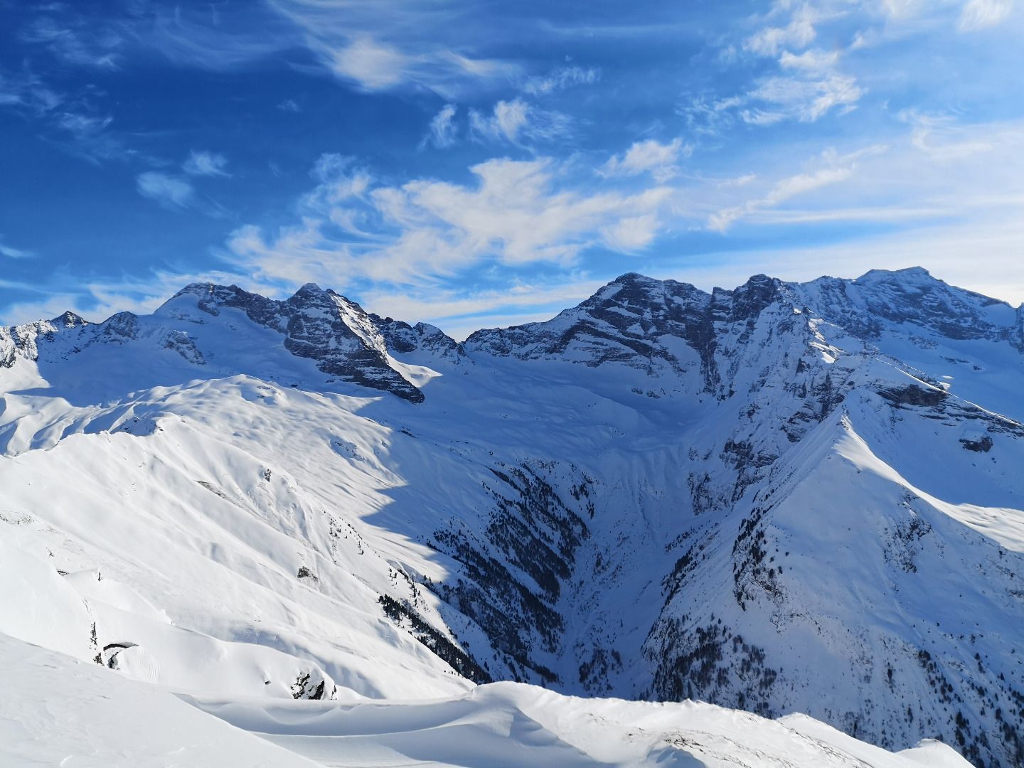
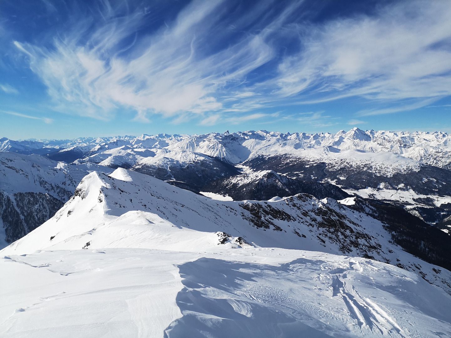
Demanding tour that is only possible in the best conditions. Via the steep, north-facing Jeneweinrinne, you climb to a saddle and from there along the ridge to the Gammaspitze. The 1000-metre descent through wonderful slopes with persistent steepness is certainly one of the most beautiful in the region.
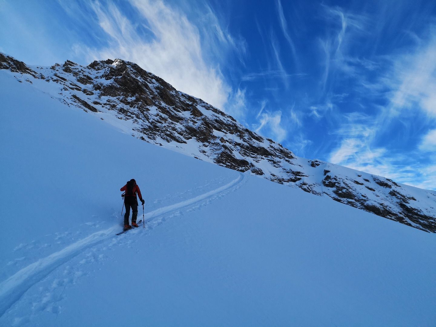
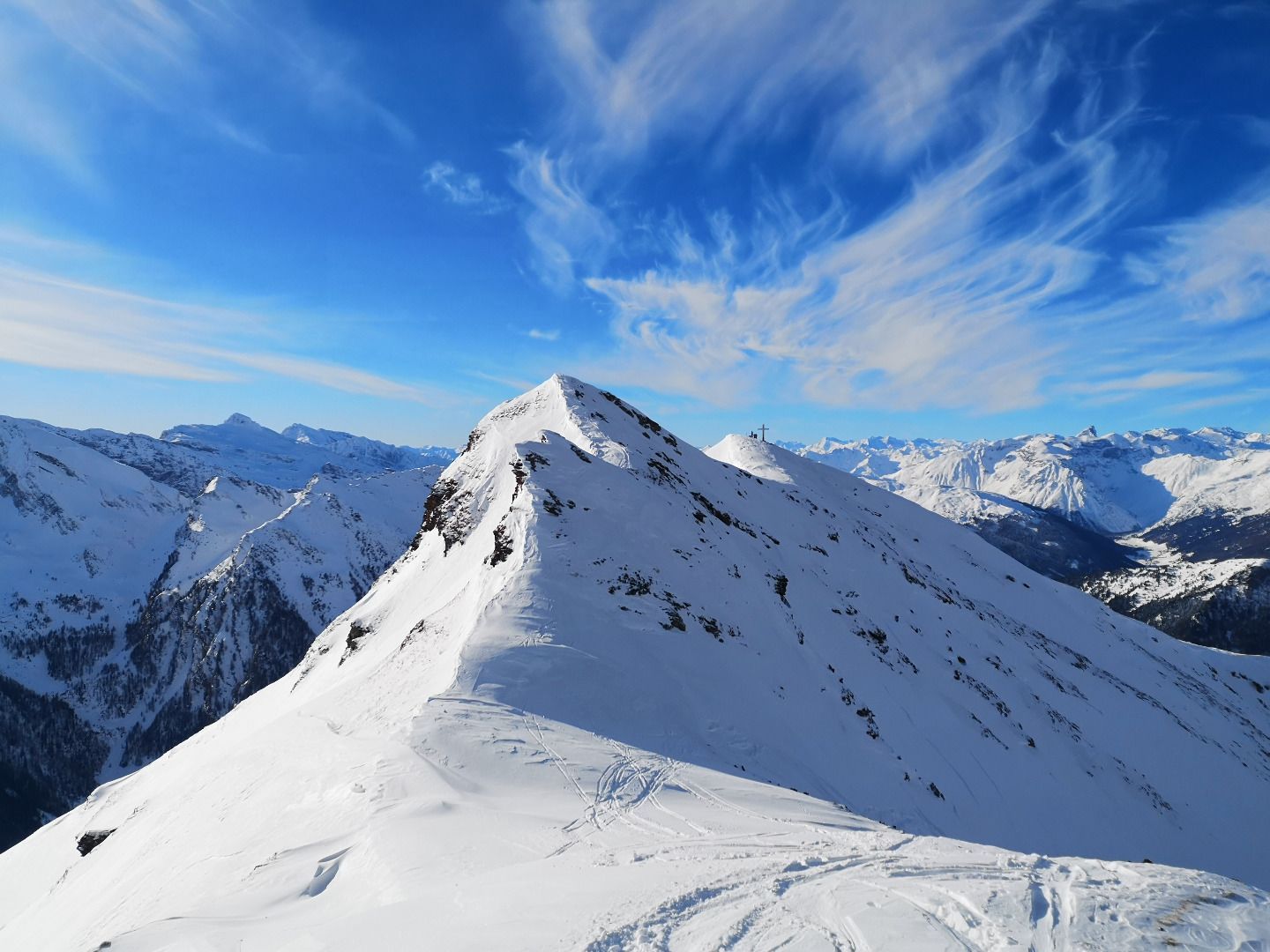
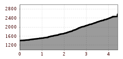
From the hamlet of "Aue", the trail first leads through a forest on a fairly flat terrain to a track. Along this you climb upwards from crest to crest - the terrain becomes steeper and steeper with increasing altitude. Bordered by the Gamma and Gampsenspitze peaks, you finally reach a wide basin. You conquer the last metres of altitude to the Scharte via great, steep slopes. Here you have to be particularly careful when choosing your tracks. If you want to, you can climb to the summit cross of the Gammaspitze against the magnificent backdrop of the Tuxer Hauptkamm or continue along the ridge to the top of the Gampsenspitze.
ROUTE DESCRIPTION
From the car park just before the "Aue" district, first follow a forest path in an easterly direction through the forest. After a while, you reach a wide track that runs up to the ridge - the so-called Jenewein Rinne. At the beginning it is a bit flatter, but then you climb up along this north-west gully. Before the first steep step, keep to the right and, with the help of narrow hairpin bends, pass the last larch trees until you reach a rock bar. Below this, you then traverse with a long left turn over into the wide basin. From here to the saddle, pay particular attention to the choice of track, which is adapted to the snow and wind situation.
SAFETY ADVICE
Very steep, north-west facing terrain with long adjacent slopes and kettle situation. The tour should therefore only be attempted with appropriate experience in assessing the avalanche situation and excellent snow conditions.
TIP OF THE AUTHOR
The forest path at the beginning of the tour leads to the Kalten Herberge and is a popular destination for snowshoe hikers.
By train to Steinach am Brenner, from there take bus line 4144 to Schmirn-Aue. Information on the timetable at www.vvt.at


