Arrival by public transport
www.vvt.at/Line: 620/Stop: Inneralpbach
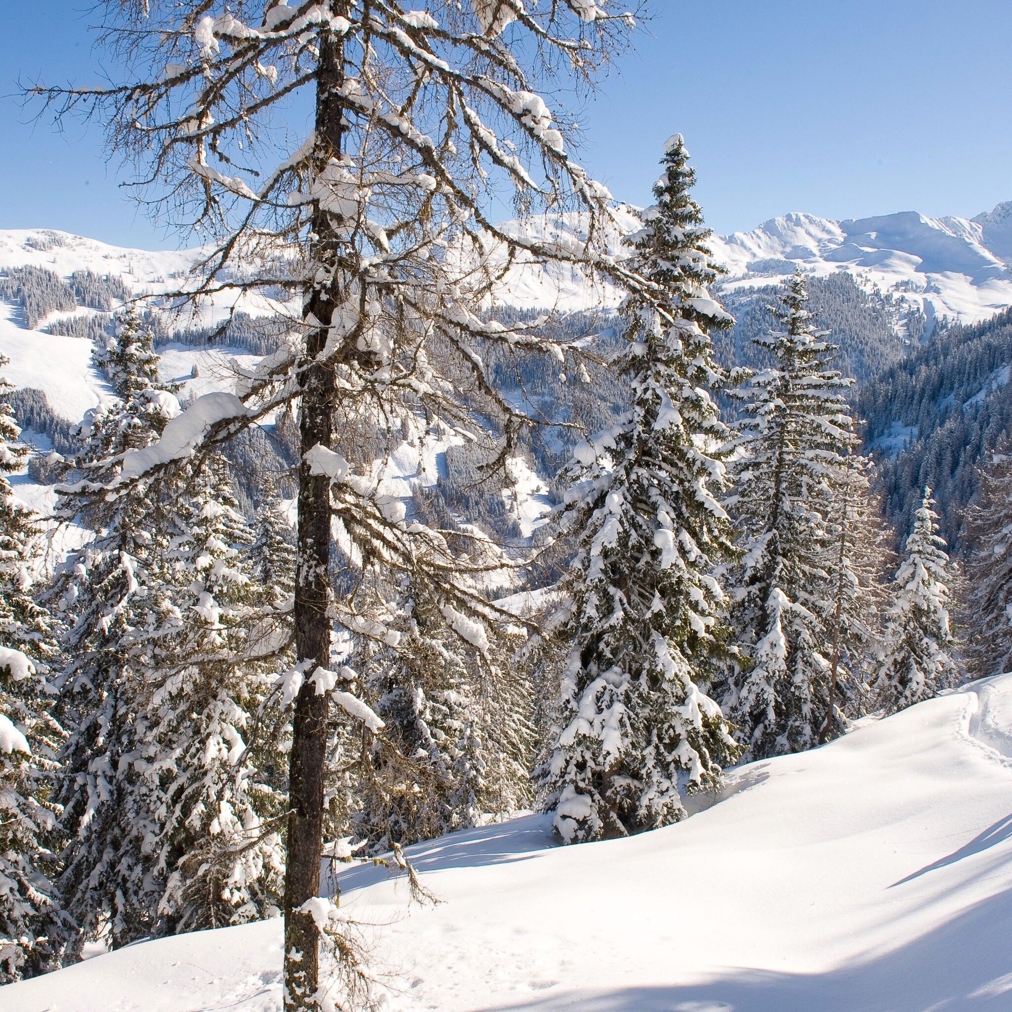
Ski route with great views of the surrounding mountains!
Observe the current avalanche situation on every ski route.
Avalanche Warning Service Tyrol
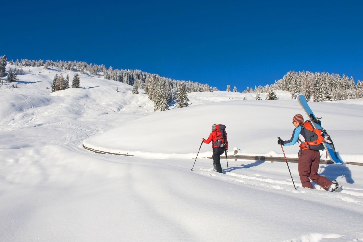
Ski touring equipment, sufficient drinks and snacks
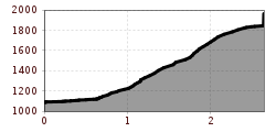
Hiking time: 2 h 30 min. - 875 h
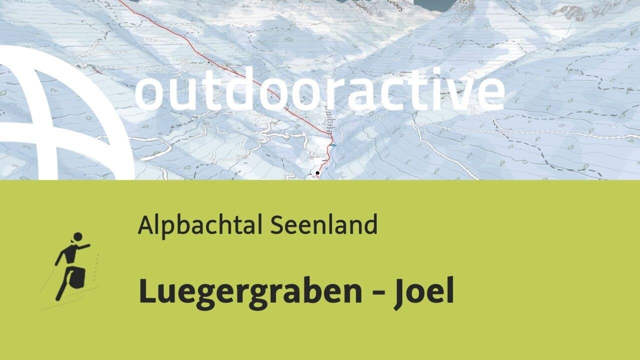
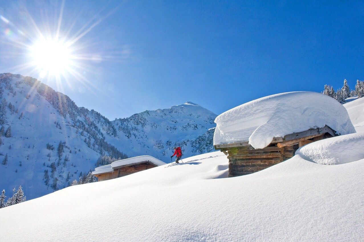
From the toll parking lot Hochberg (1100m) follow the road briefly downstream until you ascend left over open slopes to the farm "Lueg" after a bridge and a small ditch. Pass the house on the left and then climb towards the tree line. Cross it and continue over open slopes to the Luegeralm (1,471m). Then keep mostly left at first, then straight up to a bright wooded area and over an open ridge, keeping left to the summit.
Descent: same as ascent
www.vvt.at/Line: 620/Stop: Inneralpbach
Toll parking lot Hochberg in Inneralpbach (cash payment only)


