Description
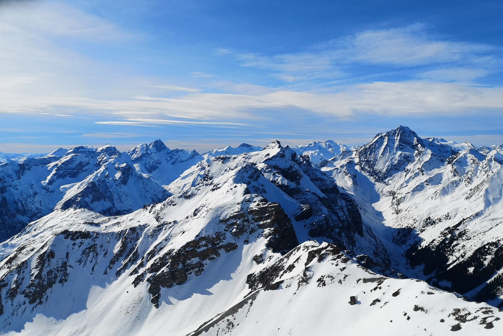
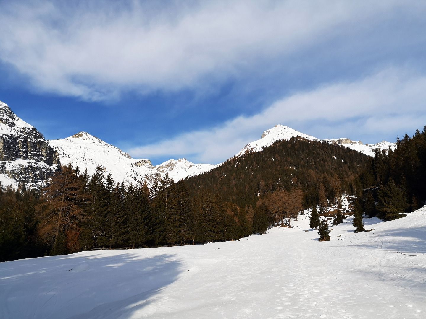
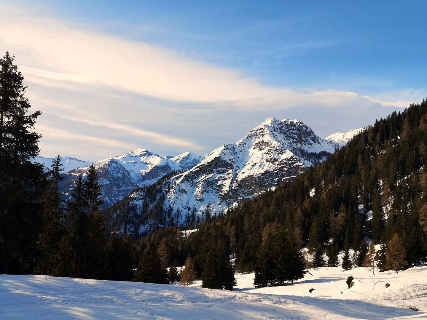
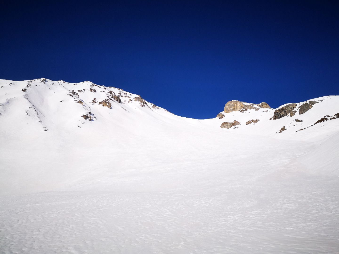
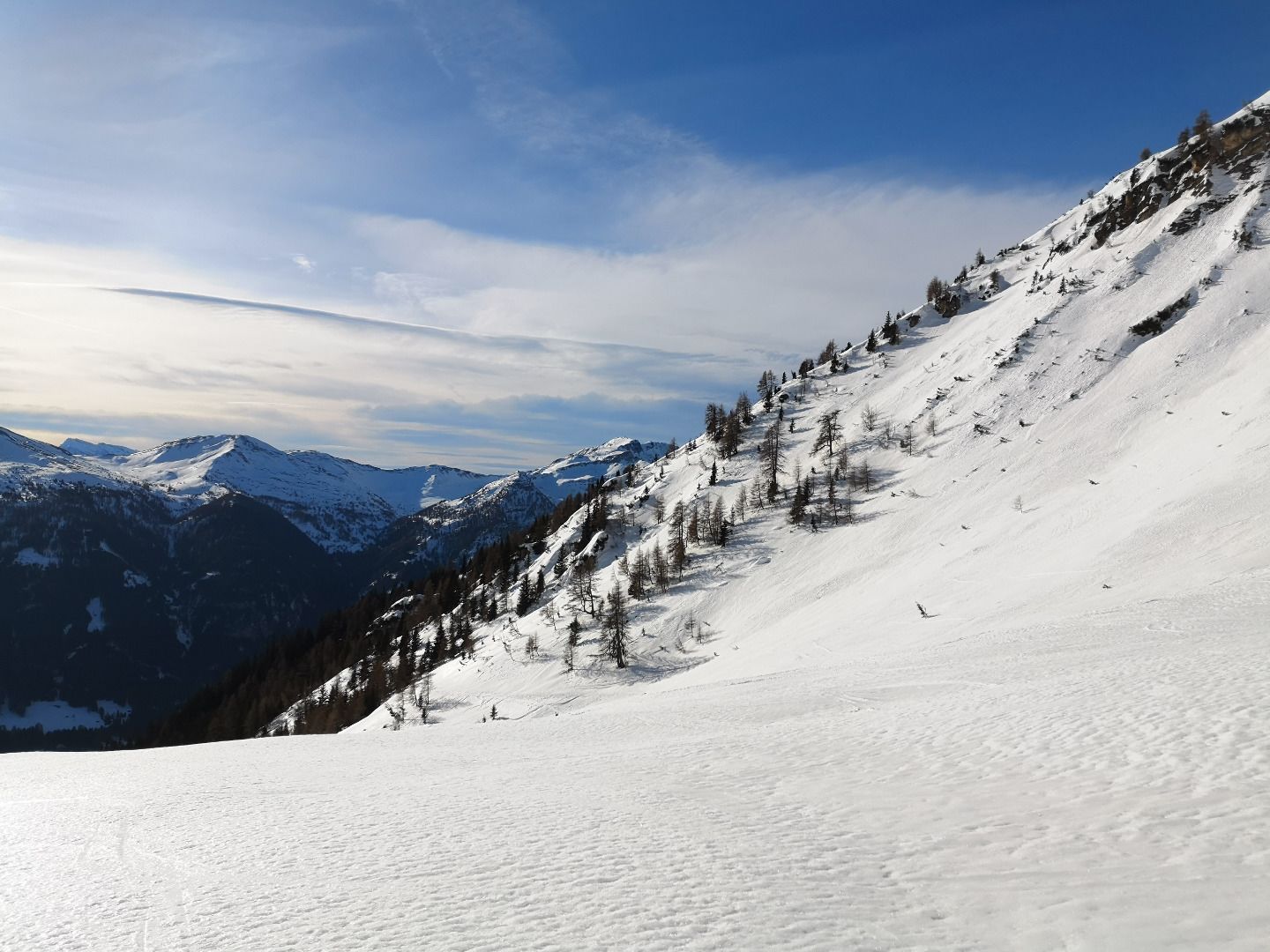
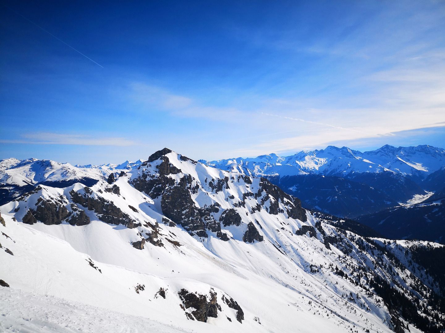
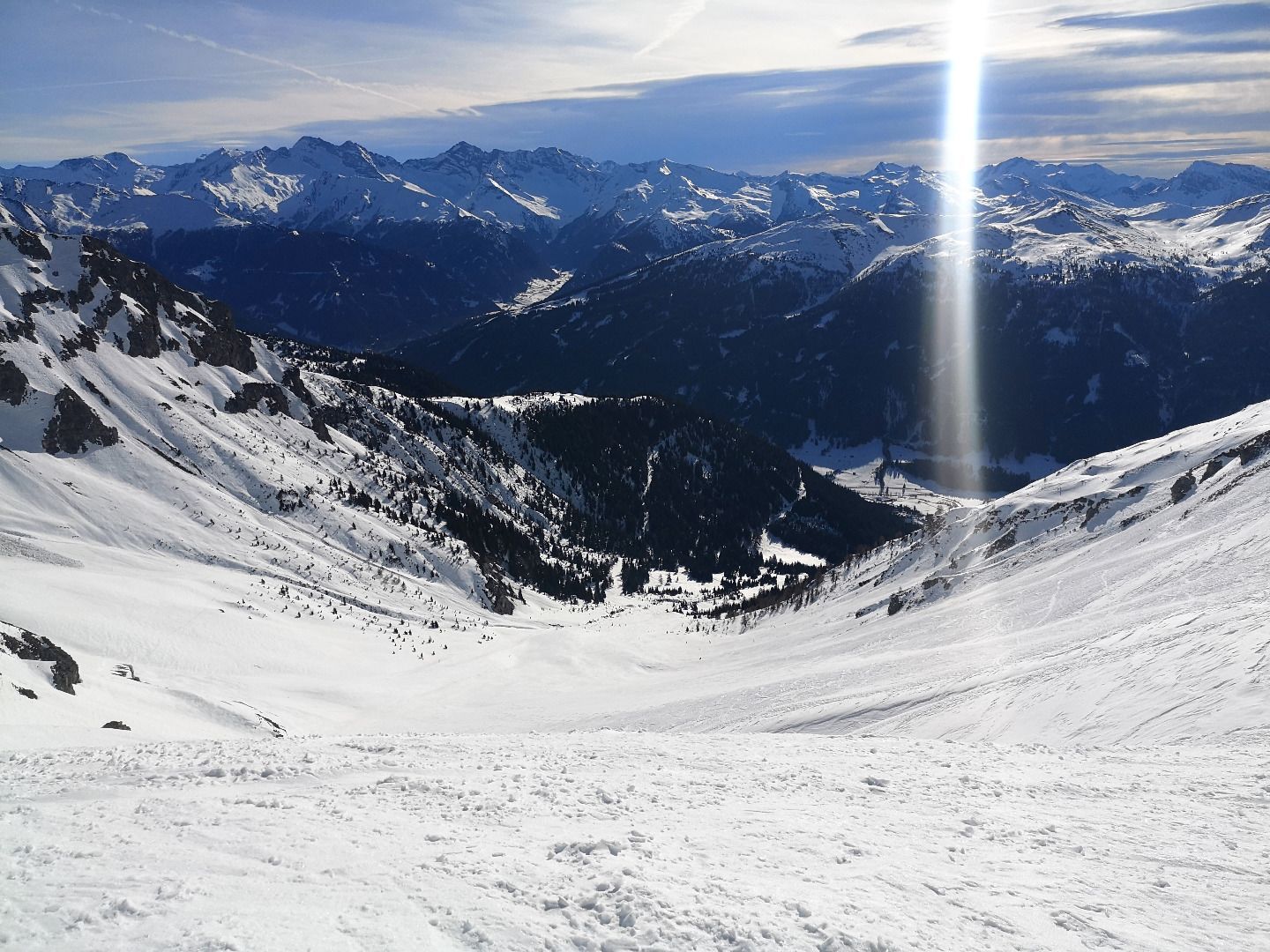
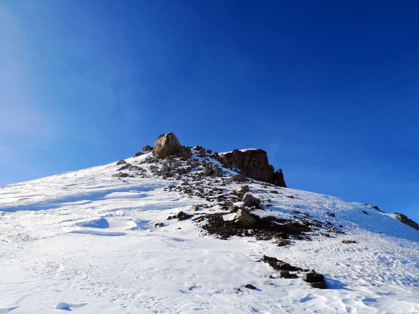
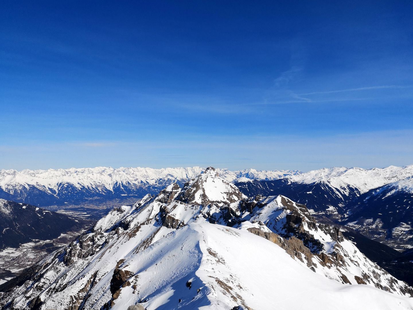
The tour begins not far above the church and the village centre of Trins on a forest path. Via this path, you first climb up into the so-called Burgwald, a wide wooded basin. A little later, you leave the last trees behind you and enter the valley, which initially climbs gently up to the Falschernalm. There, the terrain becomes more and more sloping and over two mighty steep steps and past some rock formations, after countless hairpin bends, you arrive at the junction between the Kesselspitze and the Kugelwand. The last few metres to the summit are along the ridge with a great view of the Stubaital. At the top, there is also a great panoramic view of the Stubai Alps with the Habicht and Tribulaune.
ROUTE DESCRIPTION
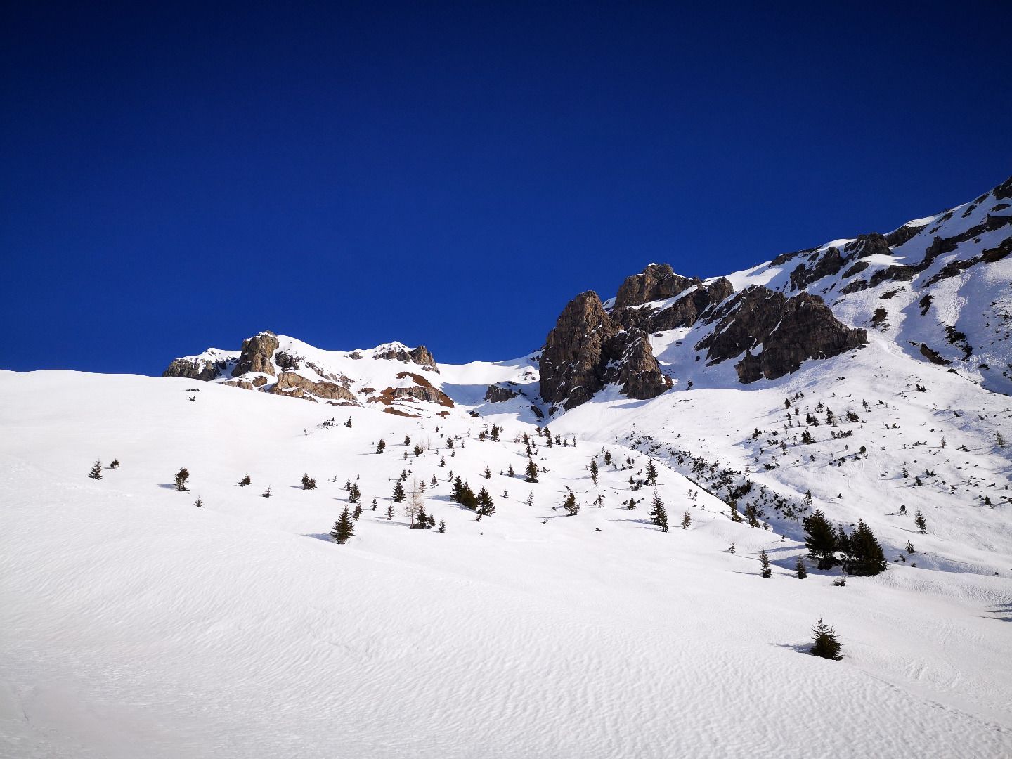
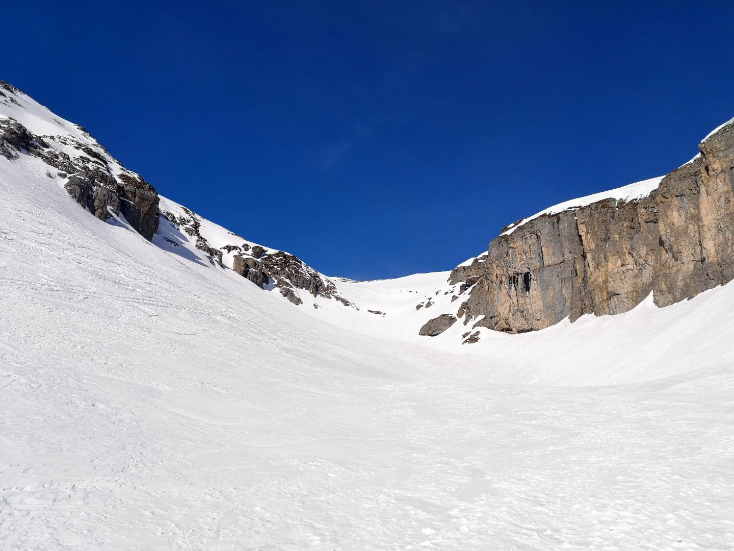
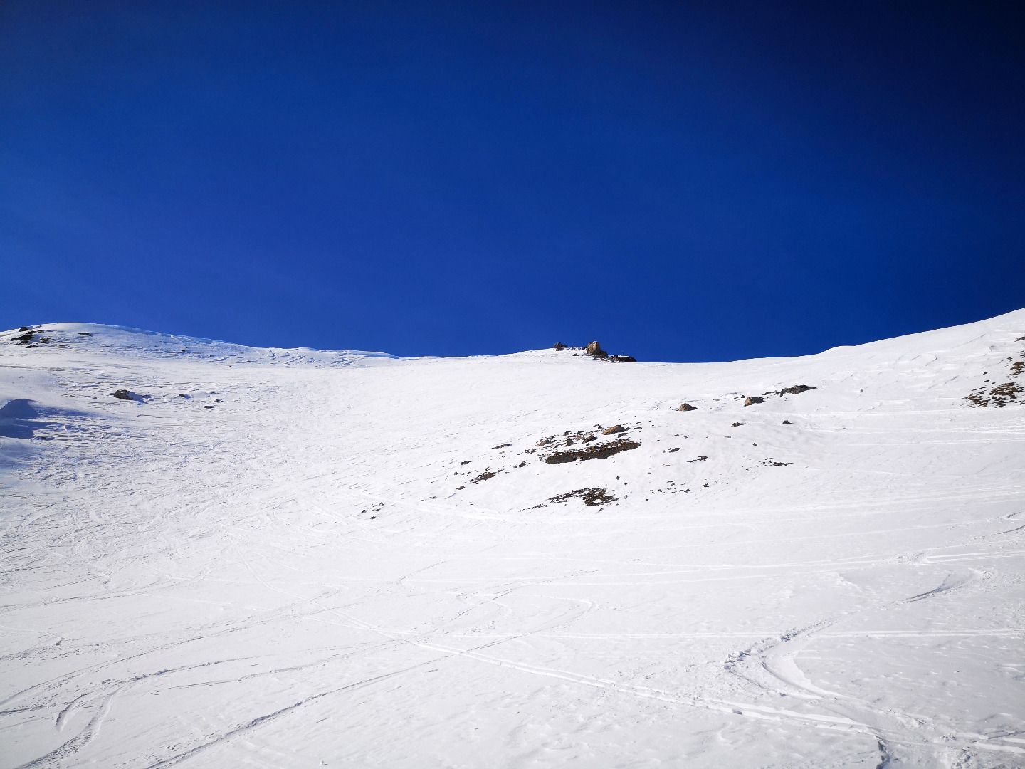
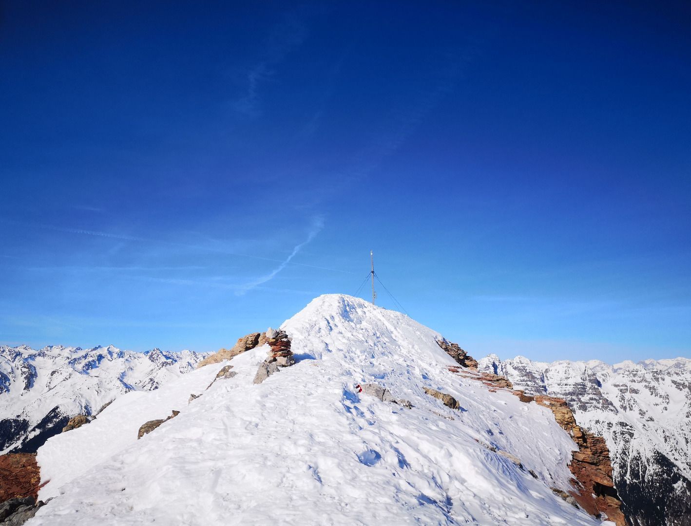
From the car park above the church (starting point also for Padasterjochhaus), first follow the forest path in a westerly direction to a first clearing. Depending on the snow situation, you can often only strap on your skis here. Cross the clearing in a north-westerly direction and then climb again following the forest road past a game feeding area to a ditch. Immediately after this, the summer trail branches off on the right through clear terrain, which you follow. A little later you reach another large clearing, which you climb up a bit. Shortly after crossing a forest road, you cross a snow-covered stream to the left side of the valley. Now, past the last trees, you follow the nicely ascending terrain in a north-westerly direction up the course of the valley until you reach a small bottom. Here it is best to take a short break for a drink before continuing up the left side of the steep eastern flank to a depression bordered by the crest of the Kesselspitze and the rugged rock walls of the Kugelwand. Behind the depression, another somewhat longer floor begins, which finally leads up over a steep step to the ridge and summit slope. The last 150 m are as close to the ridge as possible until you reach the cross.
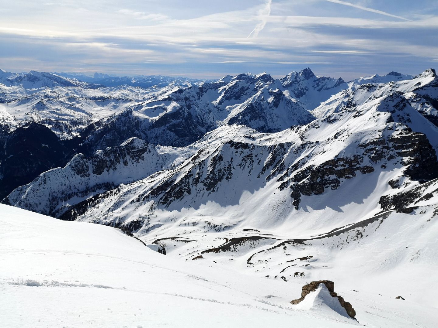
Descent in the area of the ascent track. Alternatively, you can descend via the south side of the massif and the "Loosloch". In the Burgwald you will then rejoin the forest road that you followed on the ascent.
SAFETY ADVICE
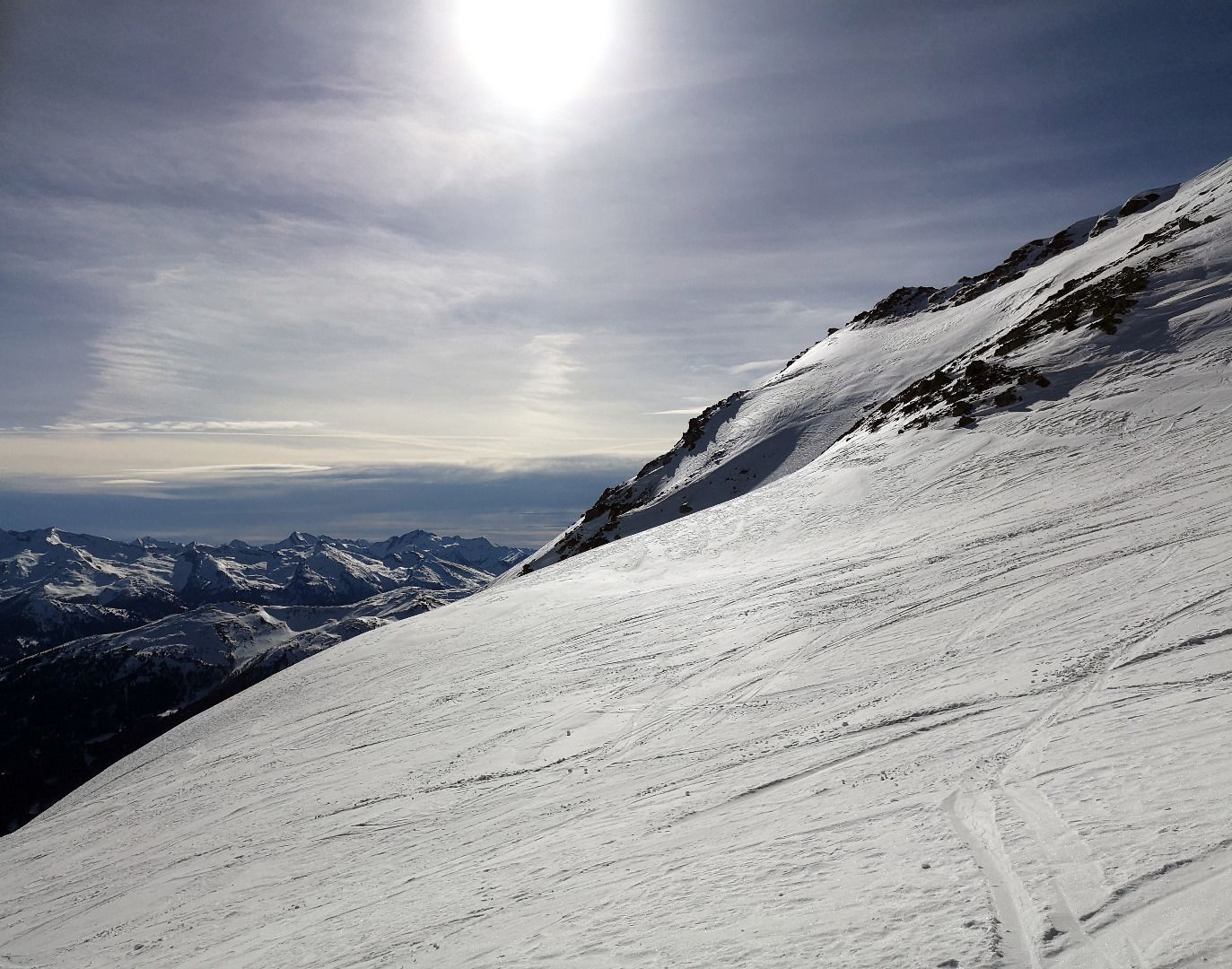
The tour to the Kesselspitz leads over very steep, high and long slopes in the upper area, in addition, you have to cross basin situations again and again - it is therefore only recommended as a firn tour in very good conditions. You should be able to make good hairpin turns and climb safely.
TIP OF THE AUTHOR
Take enough to drink - due to the east-facing orientation, the sun shines very early and often very intensively during the ascent. In addition to some beautiful tours, the Gschnitztal also offers extensive, beautifully maintained cross-country ski trails, from Trins to the Feuerstein inn at the end of the valley.