Description
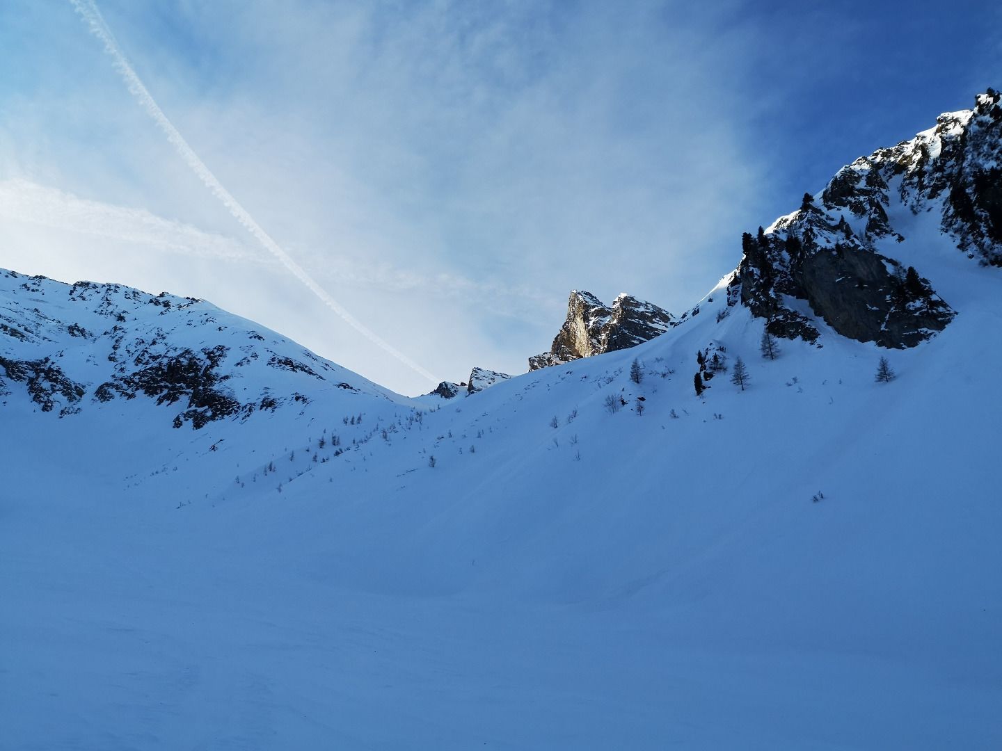
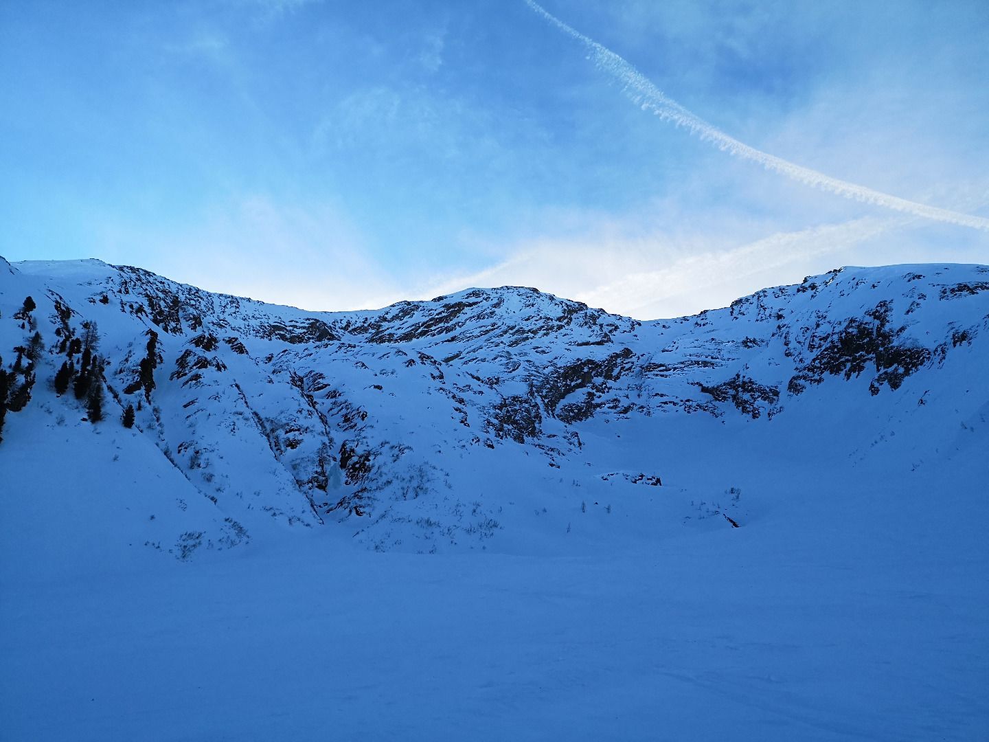
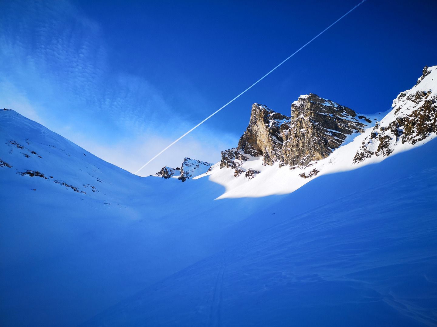
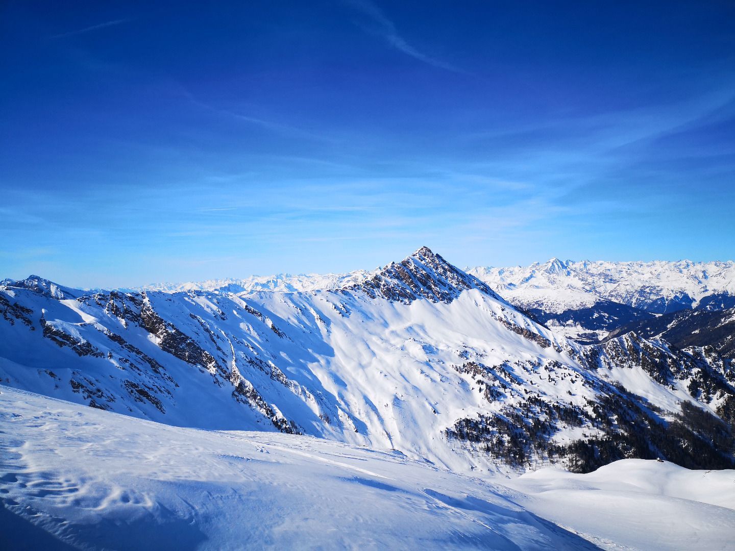
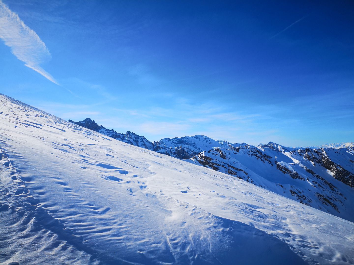
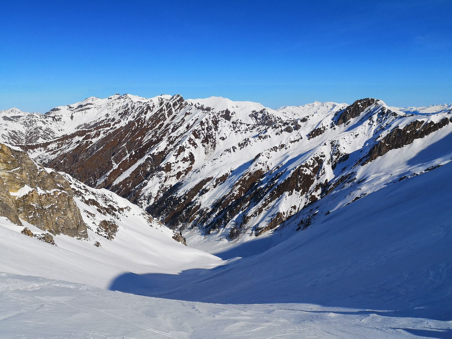
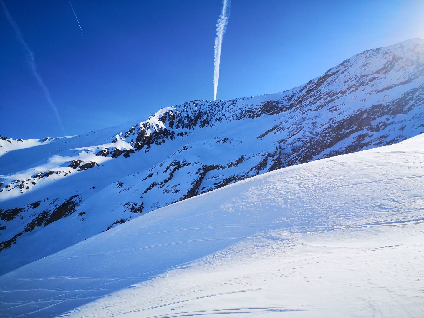
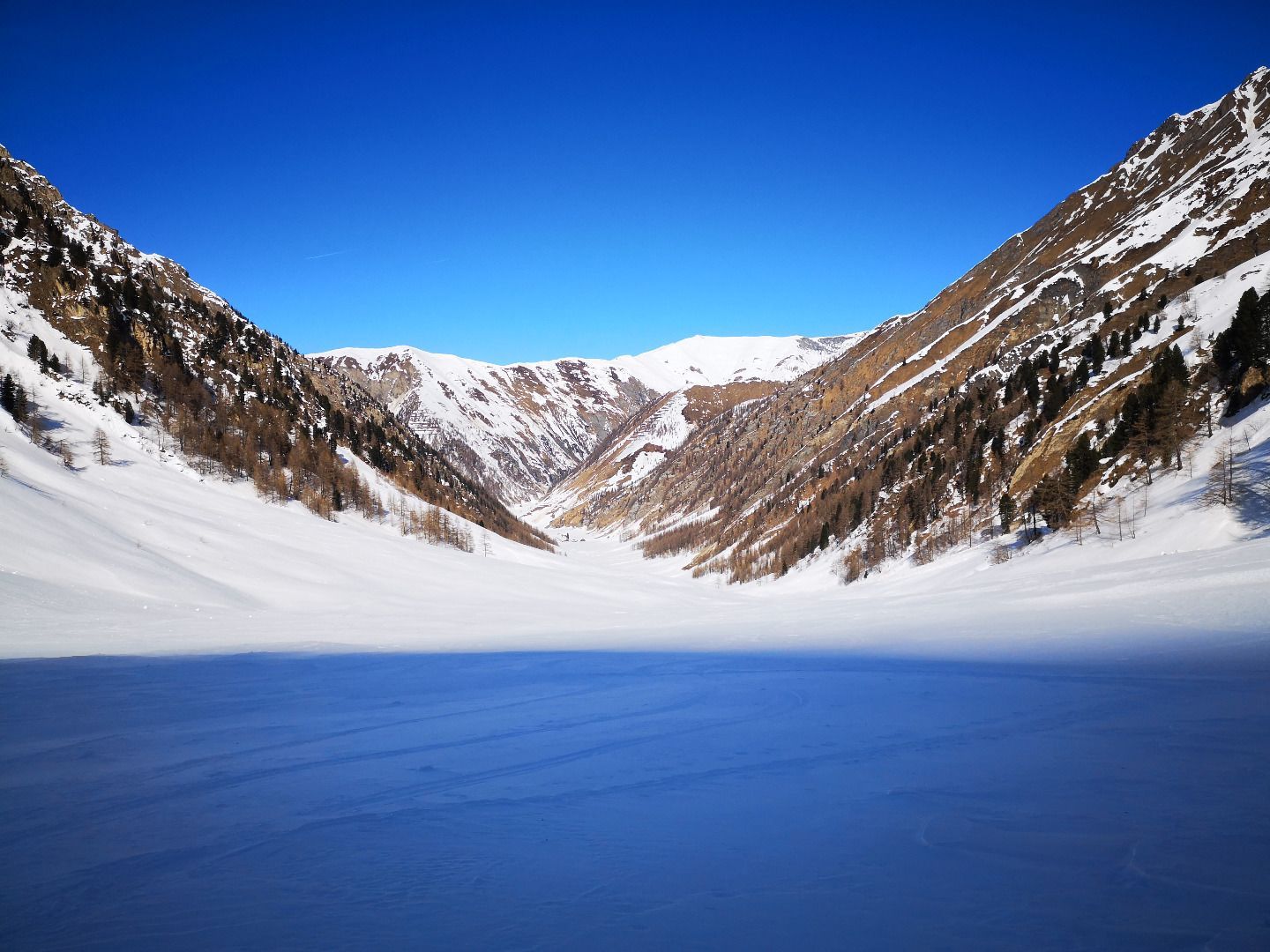
From Kasern, the last hamlet in the Schmirntal valley, the trail climbs gently into the valley of the same name. After a while you reach the so-called Kaserer Winkel in the shade, immediately behind which the dark and forbidding north face of the Kleiner Kaserer rises steeply. For the first time, on the right side, in the immediate vicinity of the shapely pyramid of the Schoberspitze, you can also see an incision, the Kleegrubenscharte, the goal of the tour. Through steep but beautiful skiing terrain, you now climb up the small valley to the cutting - where the first warming rays of sunshine and a great view of the Olperermassiv are already waiting. For those who haven't had enough, there is the option of climbing up to one of the neighbouring peaks, the Schoberspitzen or the Kleinerer Kaserer - otherwise it's back down to the valley in mostly great snow conditions.
ROUTE DESCRIPTION
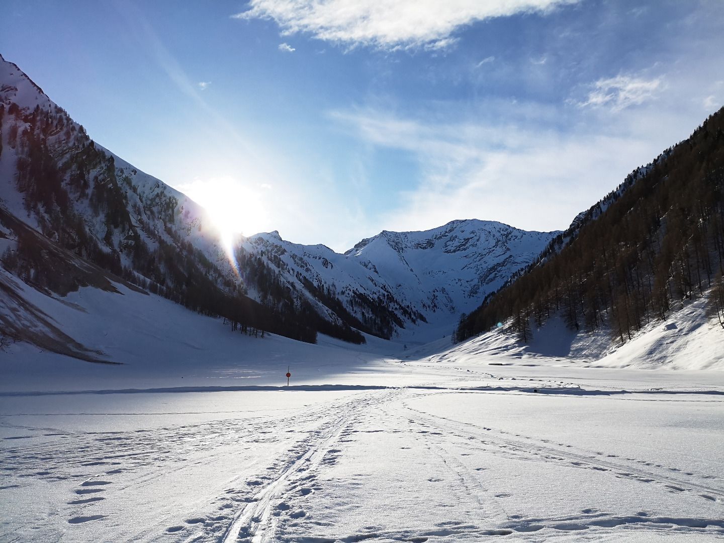
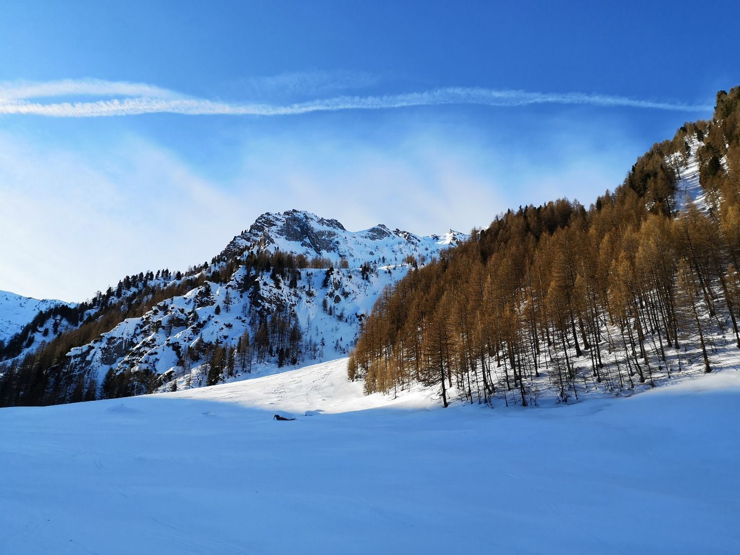
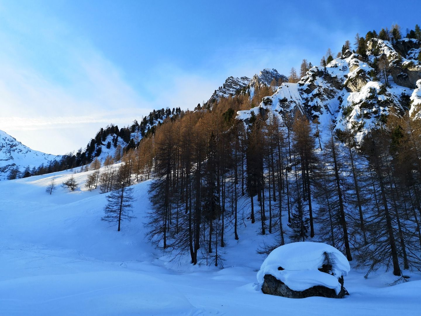
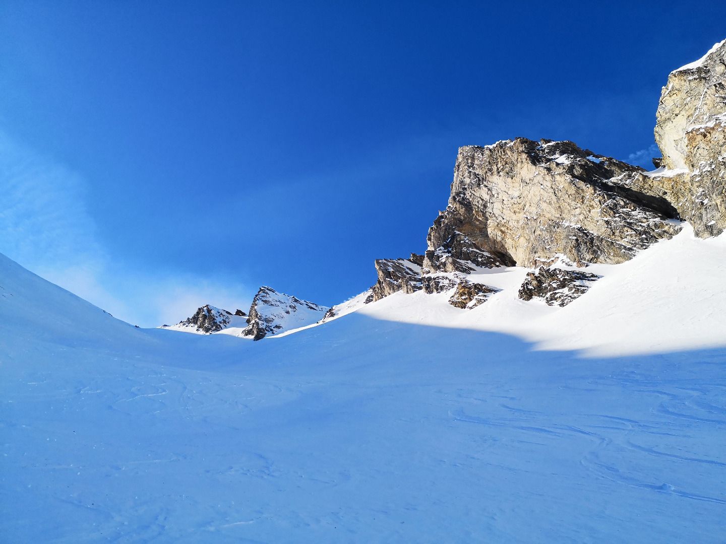
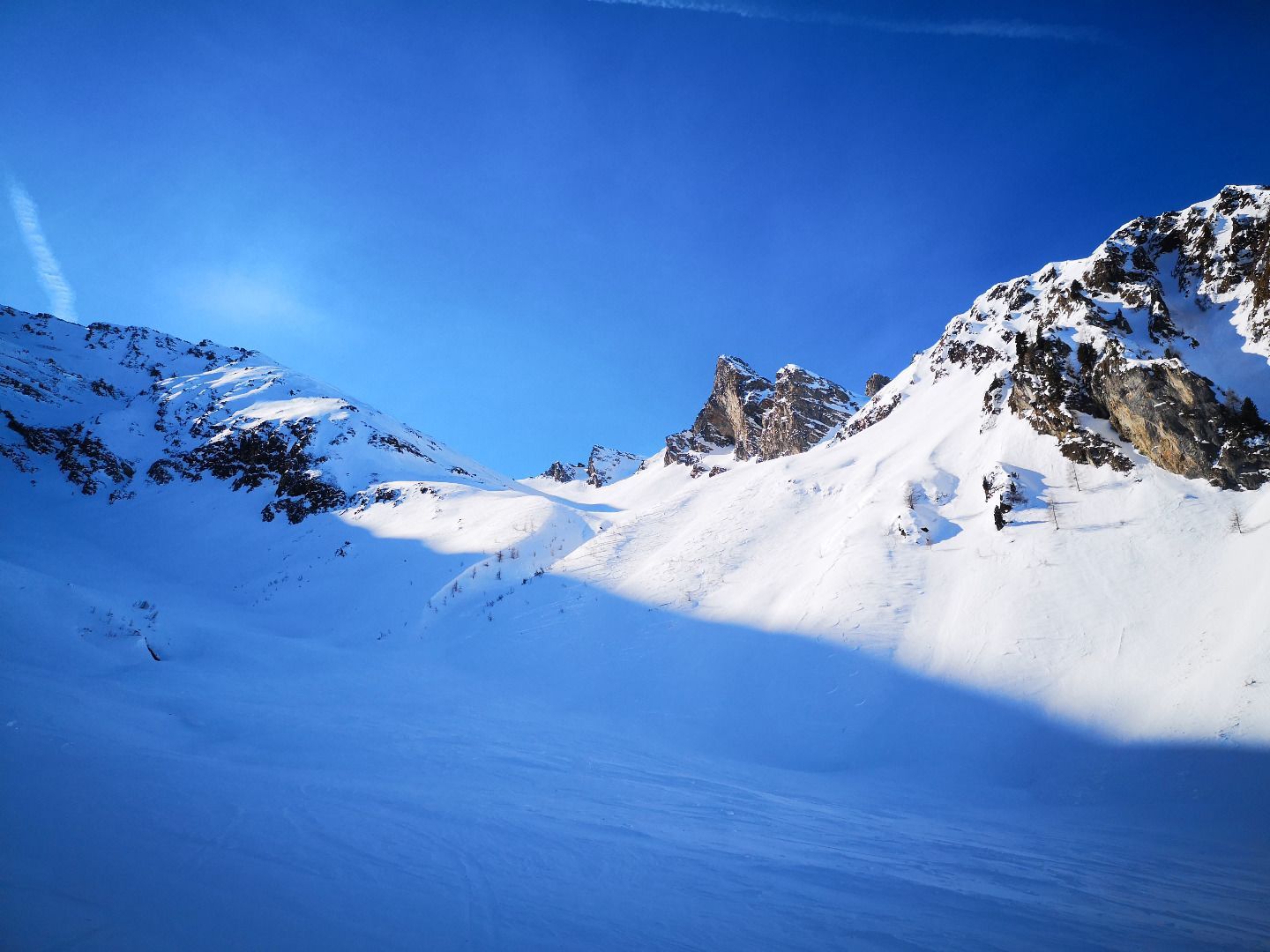
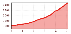
From the car park, follow the course of the Kaserertal in a north-easterly direction to its end. Allow a good hour for this, as more than 3km are quite flat. When choosing your track, you should stay in the middle of the valley, as there are some very steep slopes to the left and right. Once you have reached the end of the valley (Kaserer Winkel), you will see a small cut and a notch on the right side - this is where we have to go up. Immediately before the wide ditch that runs down from the small valley below the saddle, make a sharp right turn and climb up the steep northern slope in hairpin bends. Stay as close as possible to the sharp edge of the gully, as the terrain is least steep here. After about 200 m of ascent, you have finally left the first steep step behind you and the terrain becomes somewhat flatter again. Now follow the course of the valley up the remaining 300 m to the Scharte.
The descent is the same as the ascent over the steep northern slope and back to the starting point via the Kaserertal.
SAFETY ADVICE
In the last section of the tour from the Kaserer Winkel there are some steep north-facing slopes to be climbed, a correspondingly safe avalanche warning level and a circumspect choice of track are important prerequisites for this.
TIP OF THE AUTHOR
If the snow conditions do not meet your expectations, you can also consider a descent into the Wildlahnertal in late winter. The firn slopes of the "Große Madalm" will take you to Toldern, from where you can take the bus back to Kasern.