Arrival by public transport
With the S-Bahn (S3,S4) to Steinach am Brenner, from there with bus line 4144 to Vals as far as the Vals Touristenrast stop. Exact timetables can be found at www.vvt.at. Free use of the bus with the Wipptal Guest Card!
Challenging, alpine ski tour amidst the untouched beauty of the Zeischkessel in front of the impressive walls of the Vals valley head. Particularly beautiful is the long, steady descent over 1000 m from the summit to the Zeischalm over beautifully situated, quite steep slopes.
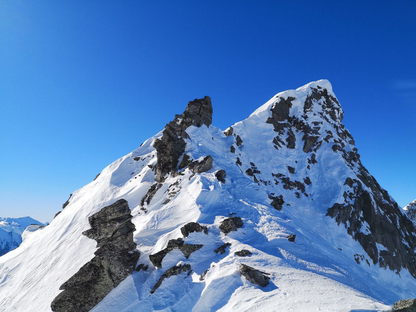
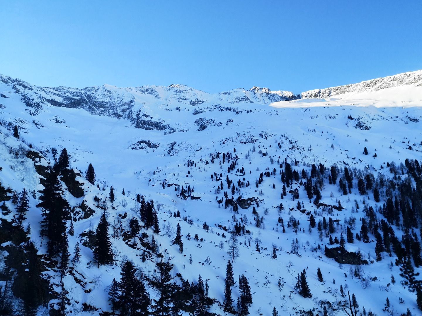
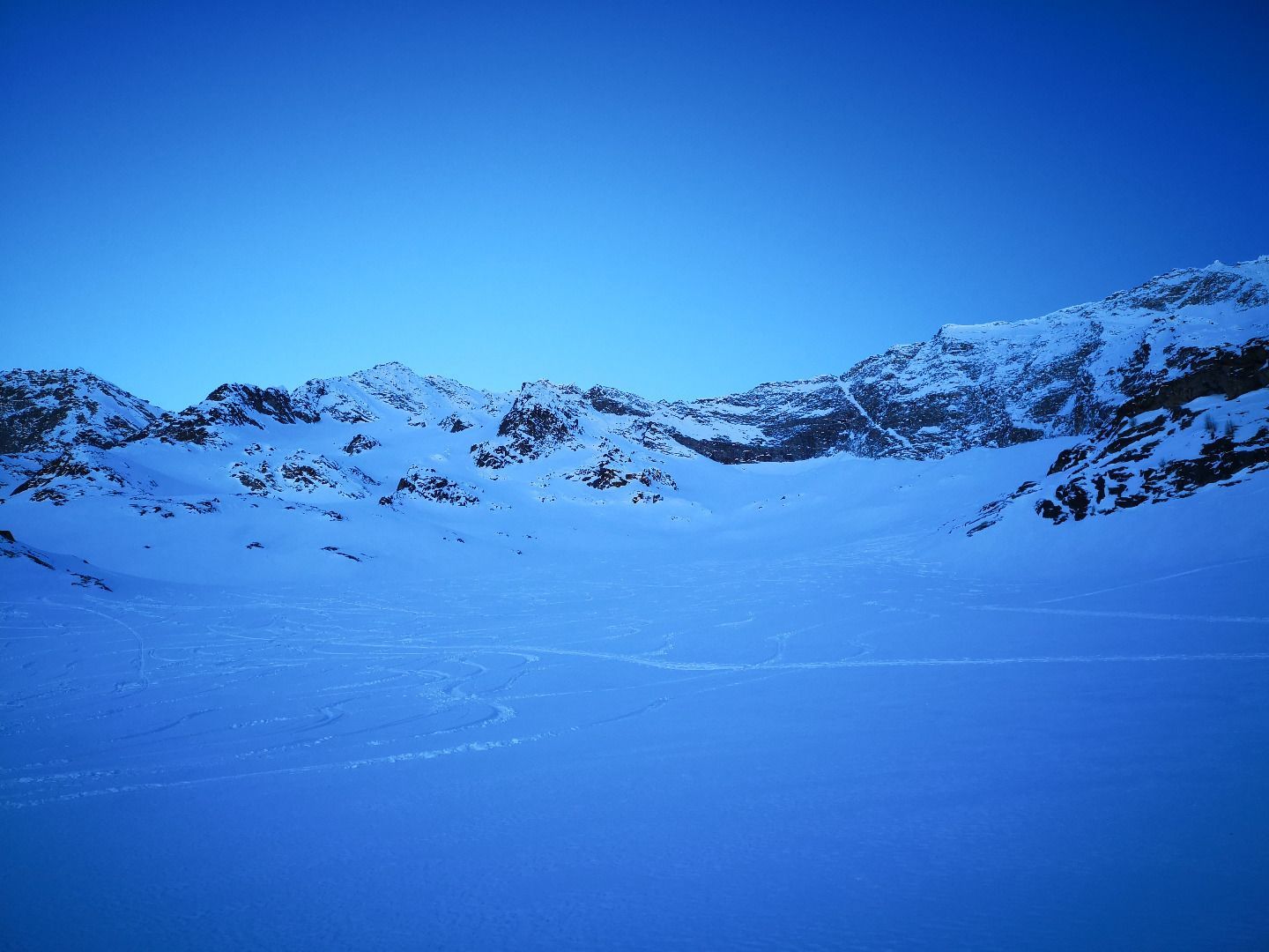
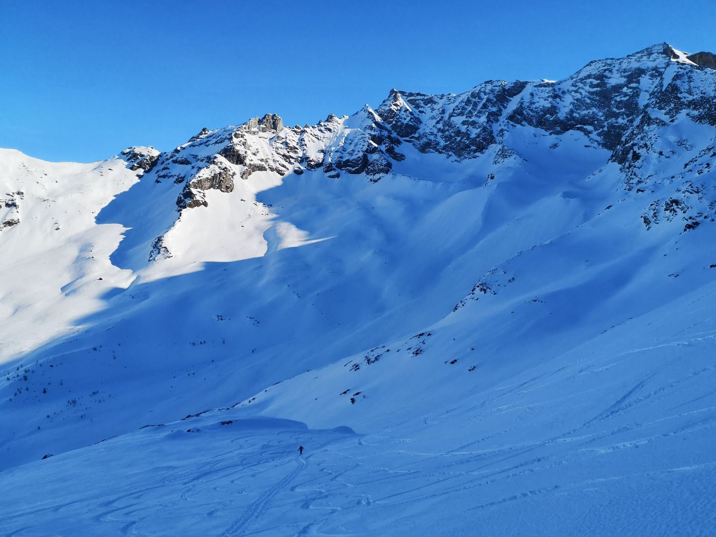
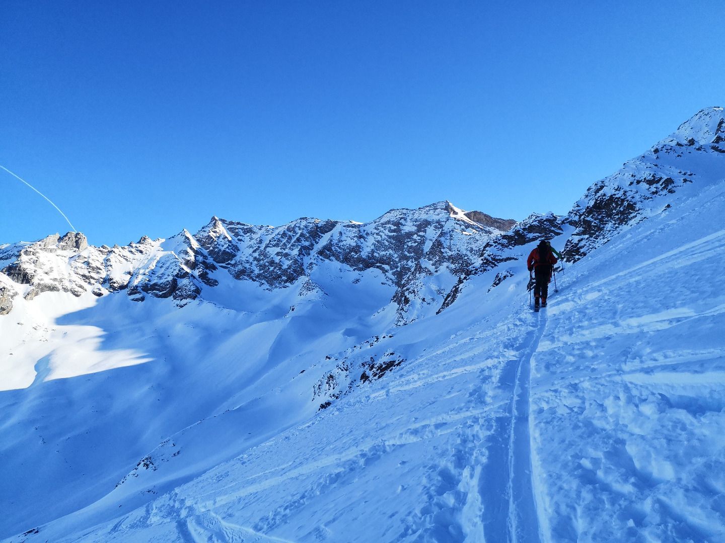
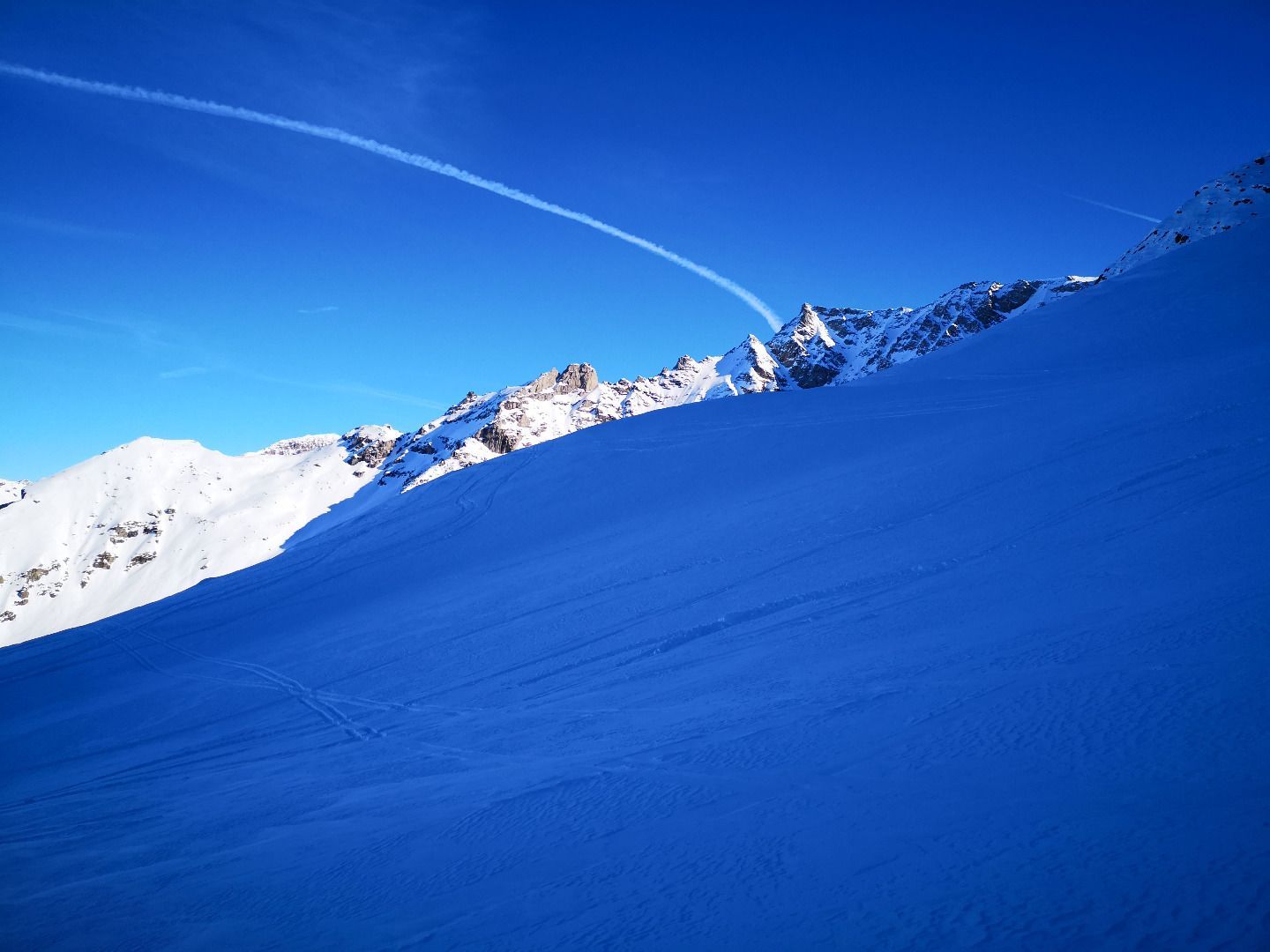
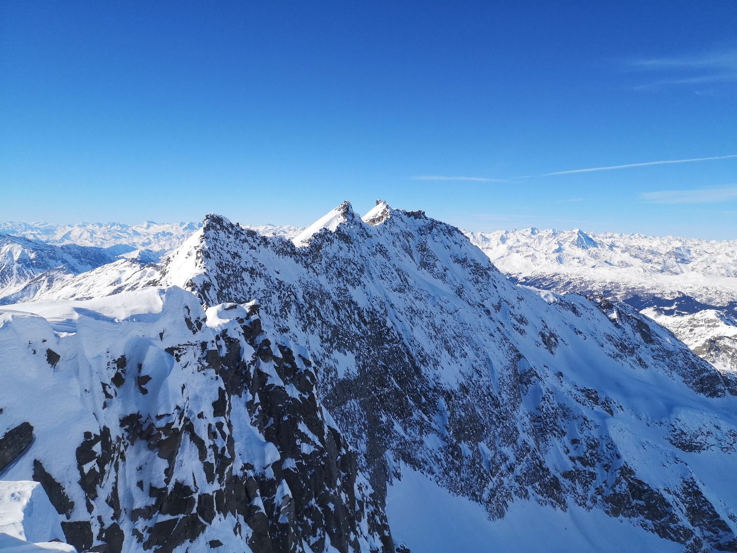
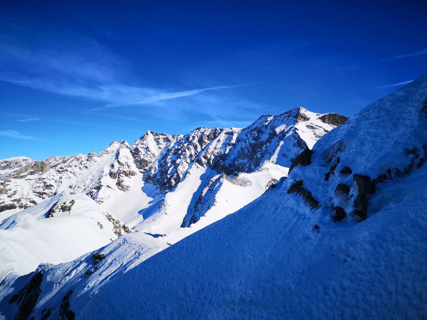
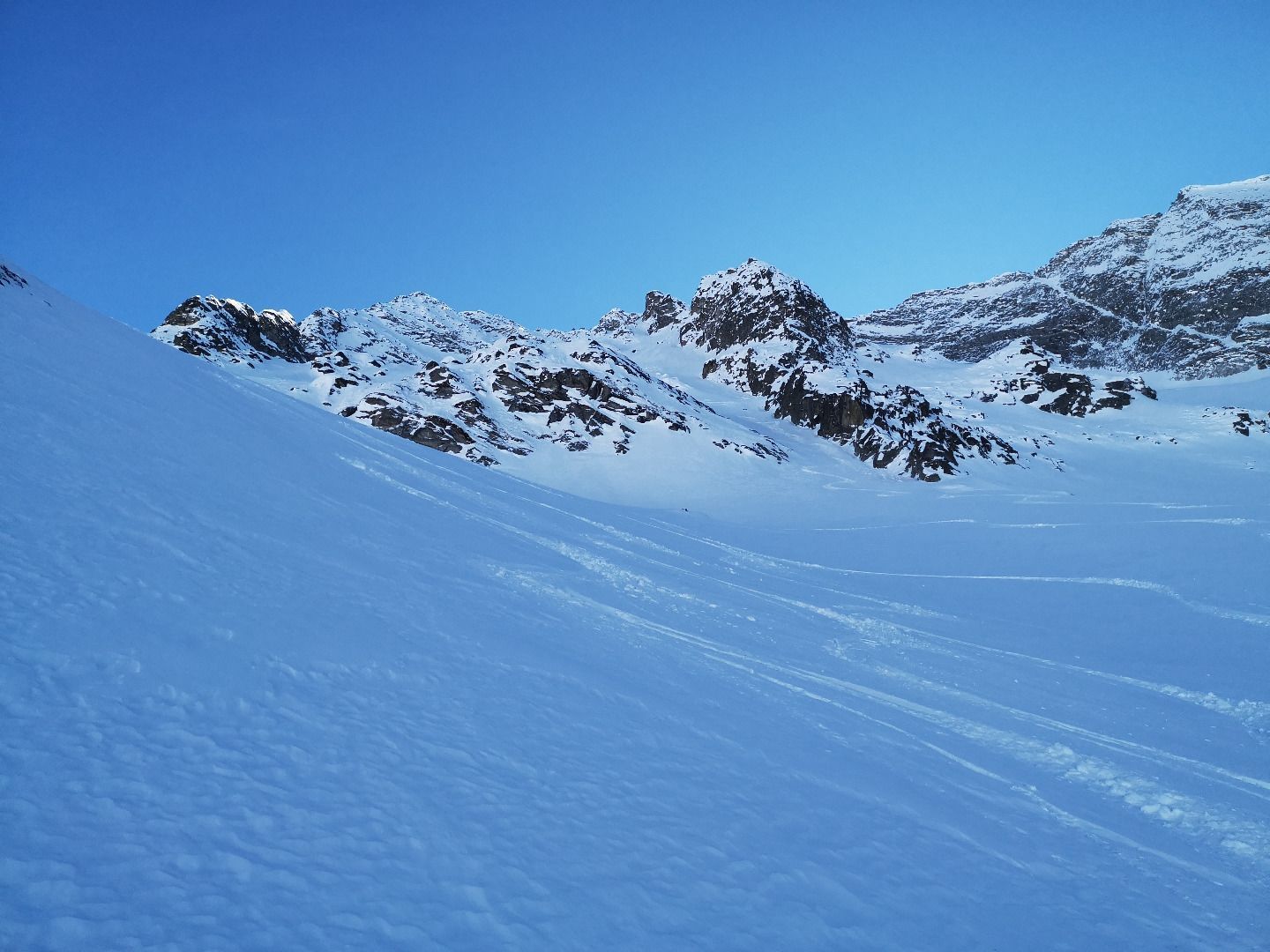
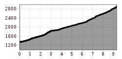
From the alpine pastures "Nocker Almen", the trail goes steeply and challengingly up the Zeischtal to the Zeischalm. There are three ditches to cross, which can sometimes be icy or even hard and slushy in spring. Once you have left this first challenge behind you, the valley opens up into a wide basin, bordered on three sides by high, steep walls. Following the course of the valley, you now cross two ditches to the right to reach the foothills of a wide slope that rises up to the remains of a mighty moraine. This great slope is now climbed in wide bends up to the wall massif of Kraxentrager and the Grenzkamm. Once you have crossed the Mörane, another indicated valley suddenly opens up, which extends to a cirque mostly bordered by a mighty cornice just below the summit. The last steep slope to the ridge requires full concentration with narrow hairpin bends before you cover the last part to the summit without skis over the ridge.
SAFETY ADVICE
The terrain is very steep in both the lower and upper areas, perfectly mastered hairpin bends and safe walking on hard, icy ground are basic requirements here. In addition, huge slopes border the ascent track. The tour should therefore only be tackled with sufficient experience and in excellent conditions rather towards the end of winter.
ROUTE DESCRIPTION
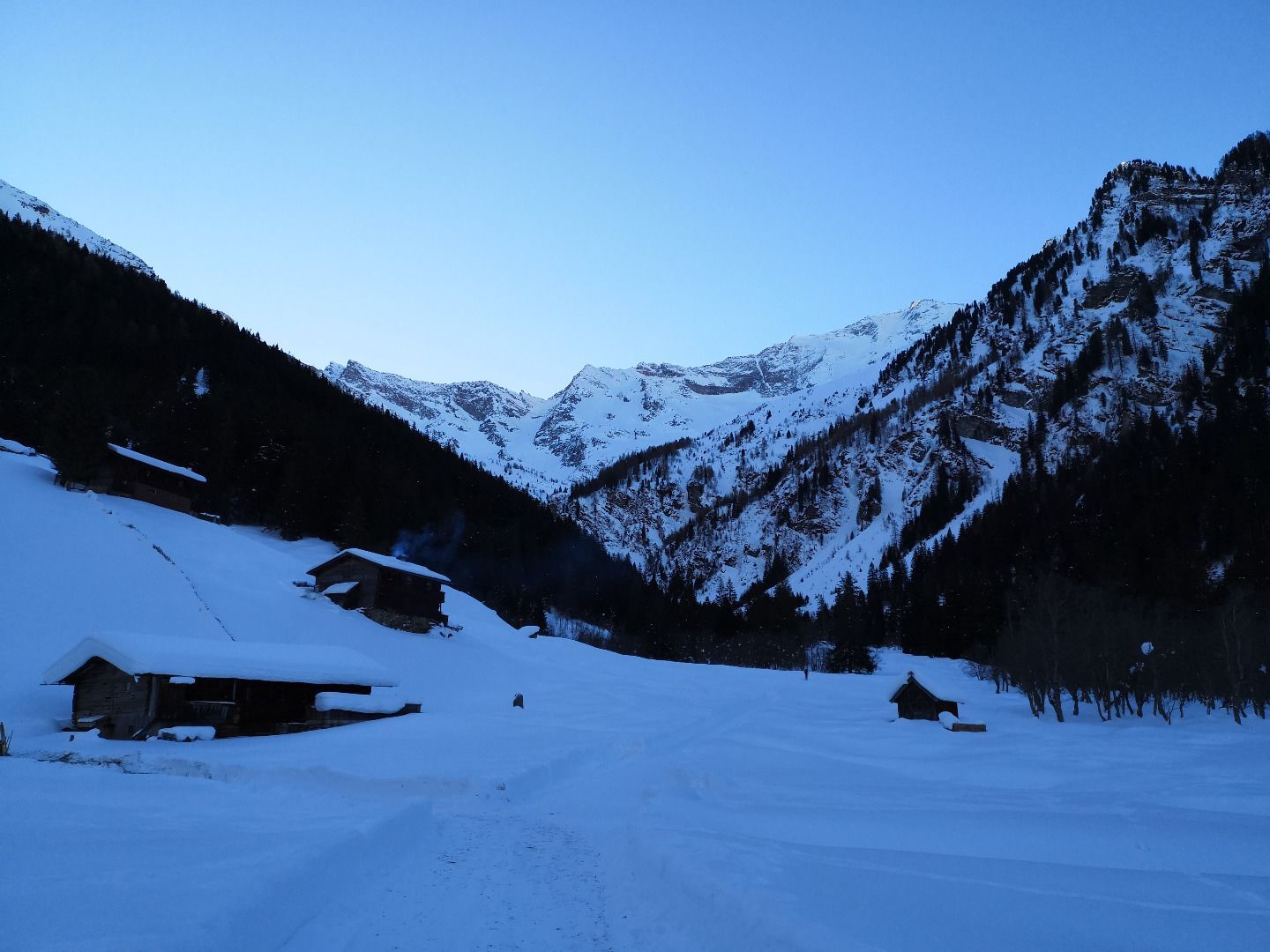
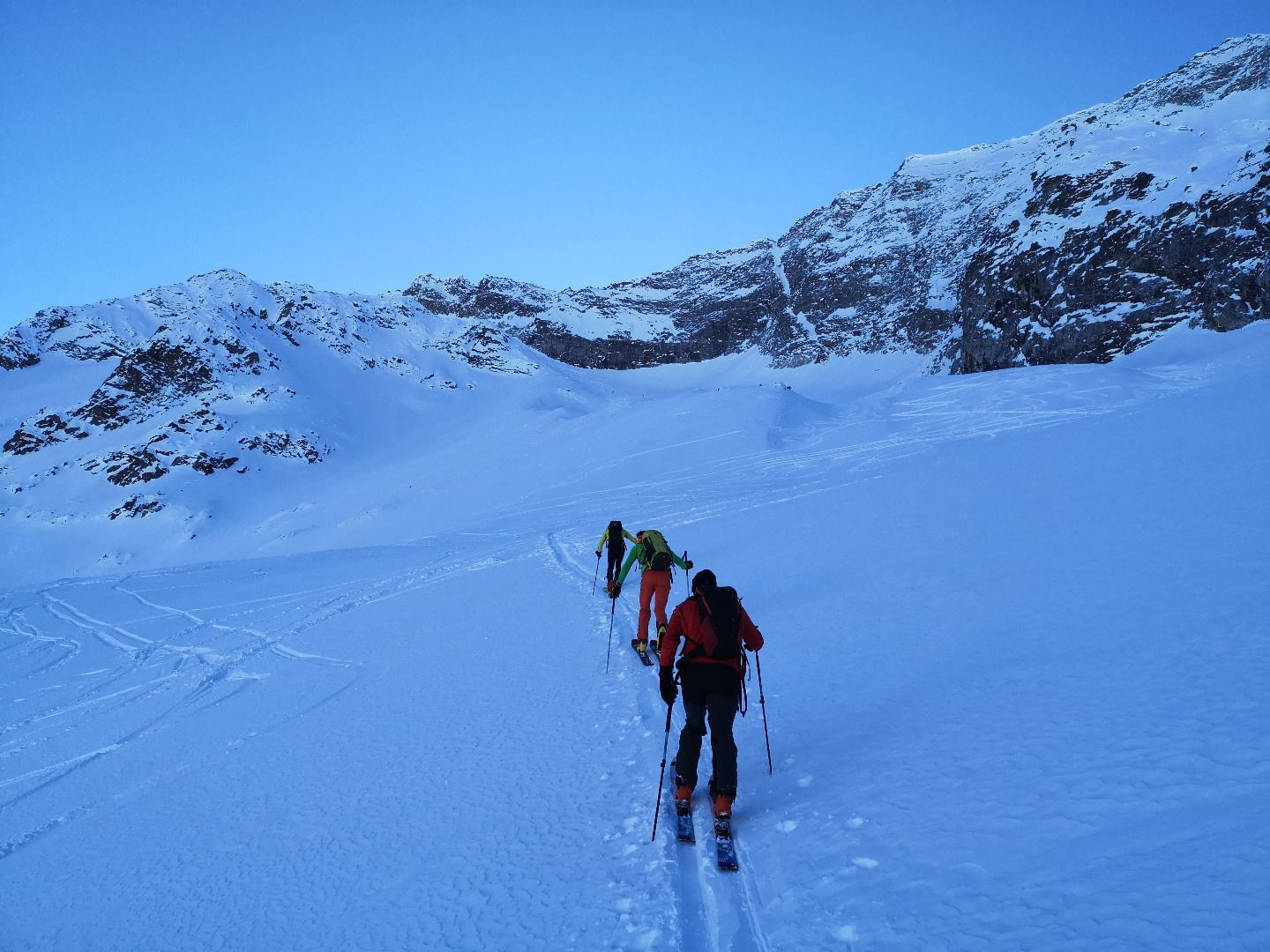
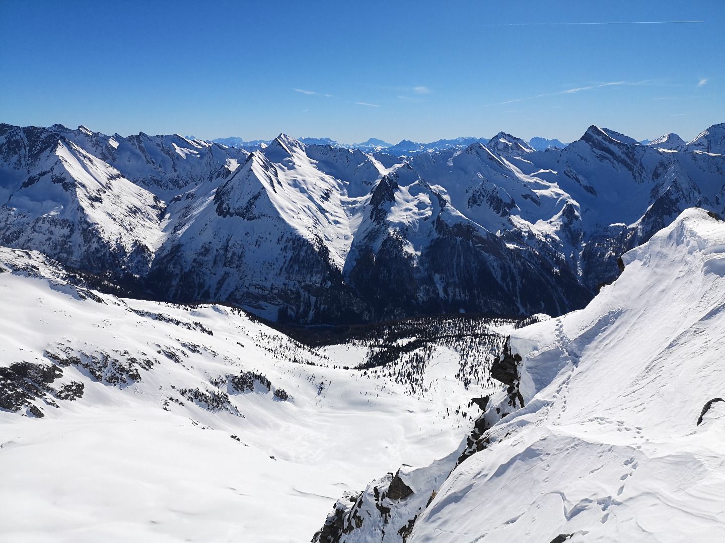
From the car park, first follow the forest road into the Zeischtal valley (used as a toboggan run in winter). Once there, stay on the forest road - it makes a U-turn here and winds its way back out of the valley in the forest. A little later you reach a fork, here you turn right 180° and follow the forest path again until shortly after a ditch. This is the start of the Sommersteig trail, which is best followed in the coming section to the Zeischalm. Sometimes the snow situation in the upper area before the three ditches to be crossed requires an alternative track choice, but the trail always offers orientation. The trenches are certainly the key part of the tour - often hard, icy, very steep and with a wide fall potential. In particularly tricky conditions, it is certainly advisable to use crampons here. Once they are done, however, the route is relatively flat and relaxed as far as the ditches and, after 3-4 hairpin bends on the left side of the valley, also over them to the right. Here a very wide, even slope awaits the climber, bordered on the left and right by rocky terrain. There you climb in wide hairpin bends up to the foothills of a mighty marginal moraine. As the terrain becomes steeper with increasing altitude, you cross to the right about 200 m below the moraine above a ridge and from there, with the help of a few hairpin bends, climb up into the former glacier field. The edge moraine and the steep walls on the right indicate a valley, which you can follow at first quite flat, later becoming steeper and steeper, to a small cirque below the summit. Every year, the south wind forms a mighty cornice around the cirque that stretches upwards to the summit ridge. This cornice still has to be crossed, then it is up the last steep slope in narrow hairpin bends to the ridge and from there in easy boulder climbing (1-2) up to the cross.
Descent
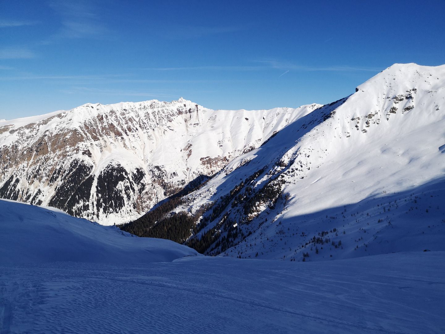
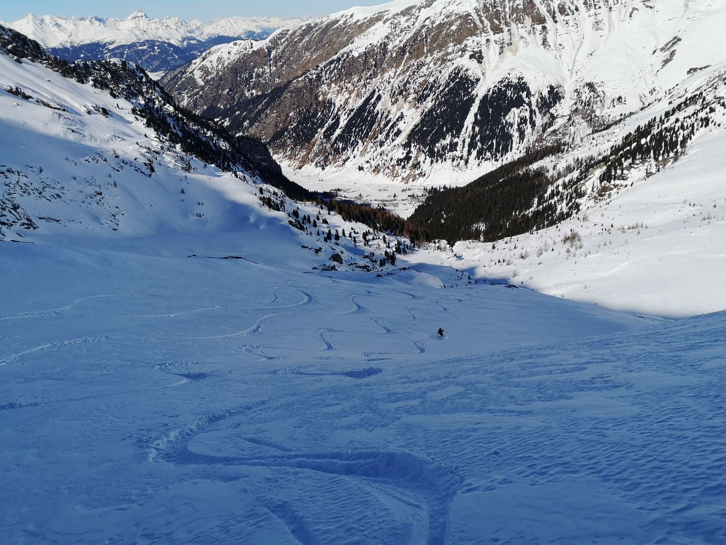
In the upper area you follow the ascent track, the particularly steep slopes below the summit and around the Randmoräne should be avoided if possible. In the lower area from the Zeischalm, the descent deviates significantly from the ascent track - you no longer cross the three gullies, but instead ski directly over the innermost one down into the Zeischtal to before the mighty Zeischfall. Alongside the snow-covered stream, you then head back out to the forest road and via this to the car park.
With the S-Bahn (S3,S4) to Steinach am Brenner, from there with bus line 4144 to Vals as far as the Vals Touristenrast stop. Exact timetables can be found at www.vvt.at. Free use of the bus with the Wipptal Guest Card!
Parkplatz Geraer Hütte bei den Nocker Almen


