
Opening hours:Open today
Place:Gries am Brenner
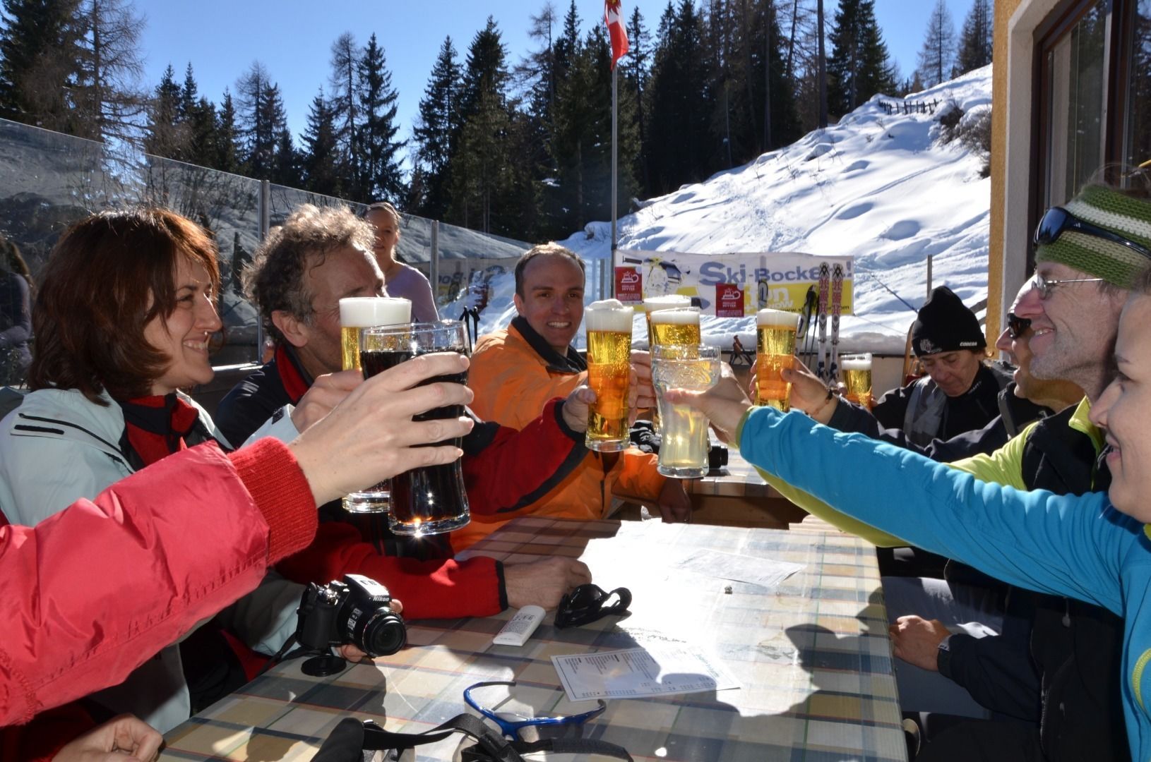
:Alpine pasture / hut / mountain restaurant
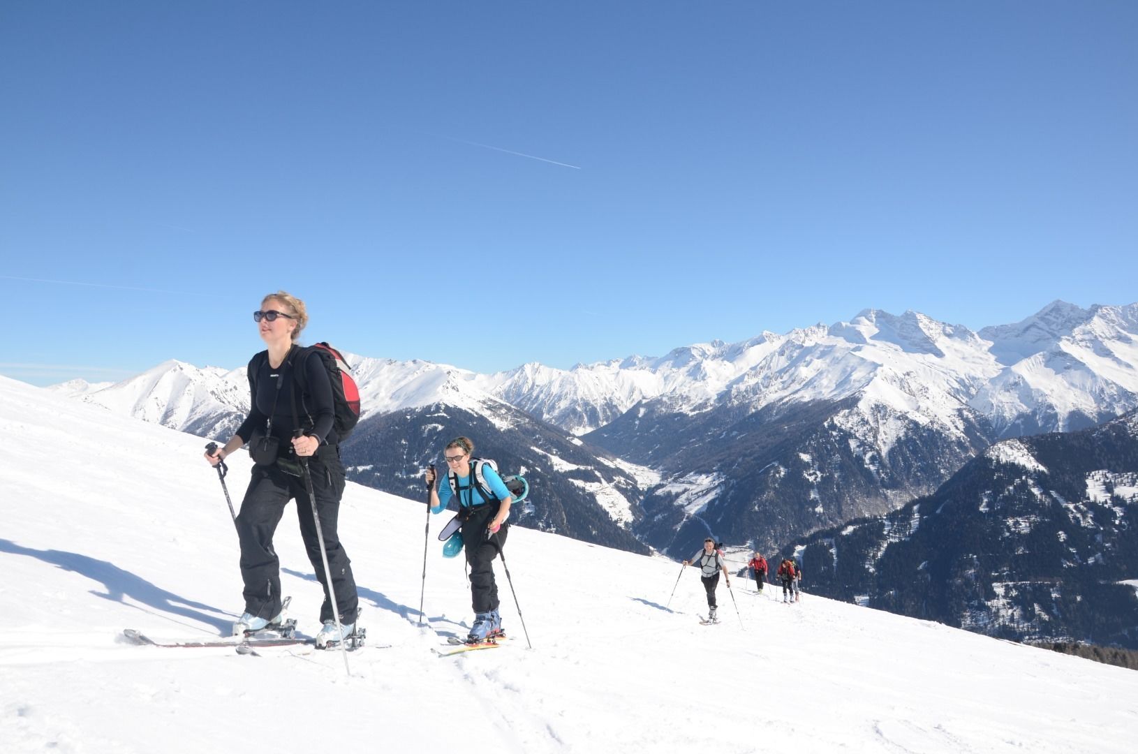
Easy tour - a pleasure for families and beginners!
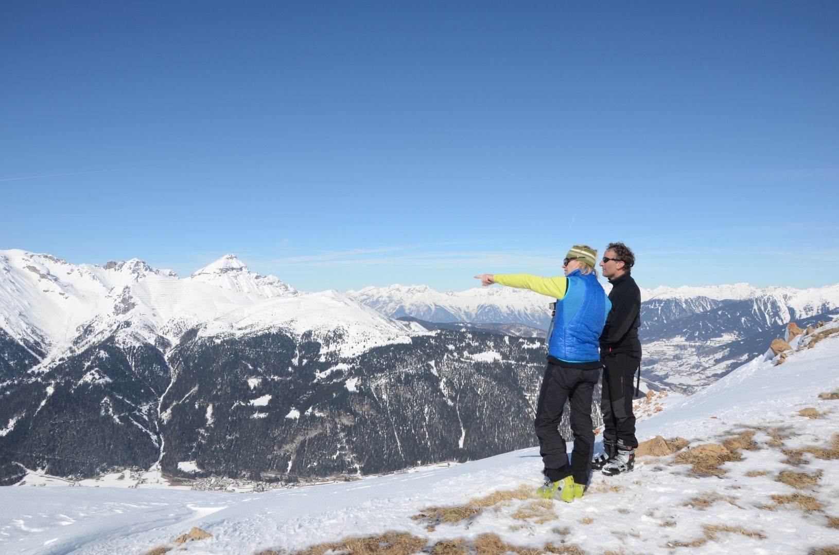
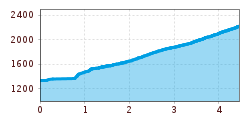
From the car park at the Noesslach motorway exit, carry your skis for about 200m to the Gries-Vinaders connecting road. Walk diagonally upwards across a flat meadow, past a farm with a chapel to the edge of the forest. From there follow the forest road to the Nösslachhütte. Shortly before (approx. 50m), turn right uphill across meadows and sparse forest to the tree line. The summit is already clearly visible from there. Across wide, flat terrain, always head for the saddle slightly to the left of the summit, from where it is only a few steps to the summit cross.
Take the regional bus 4145 in the direction of "Obernberg" from Steinach a. Br. railway station to Nösslach to the bus stop Abzw. Autobahn. Attention, not all buses go via Nösslach to Obernberg! For exact timetables, please visit www.vvt.at. Free use of the bus with the Wipptal Guest Card!
Car park at A13 motorway exit Noesslach


