
Opening hours:Open today
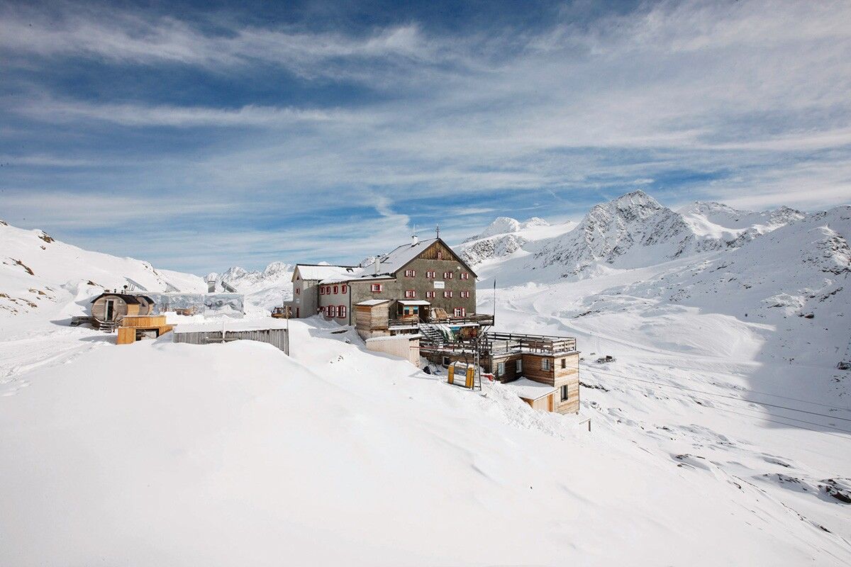
Place:Schnalstal
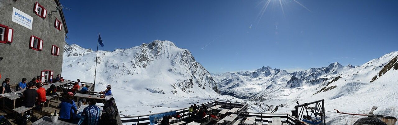
:Alpine pasture / hut / mountain restaurant
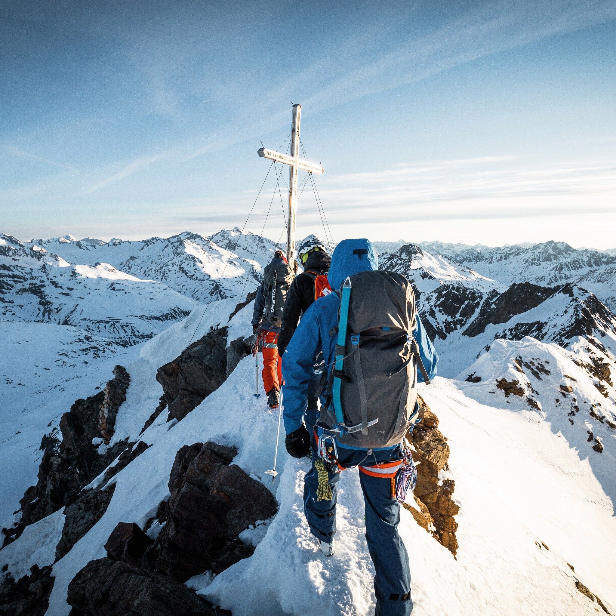
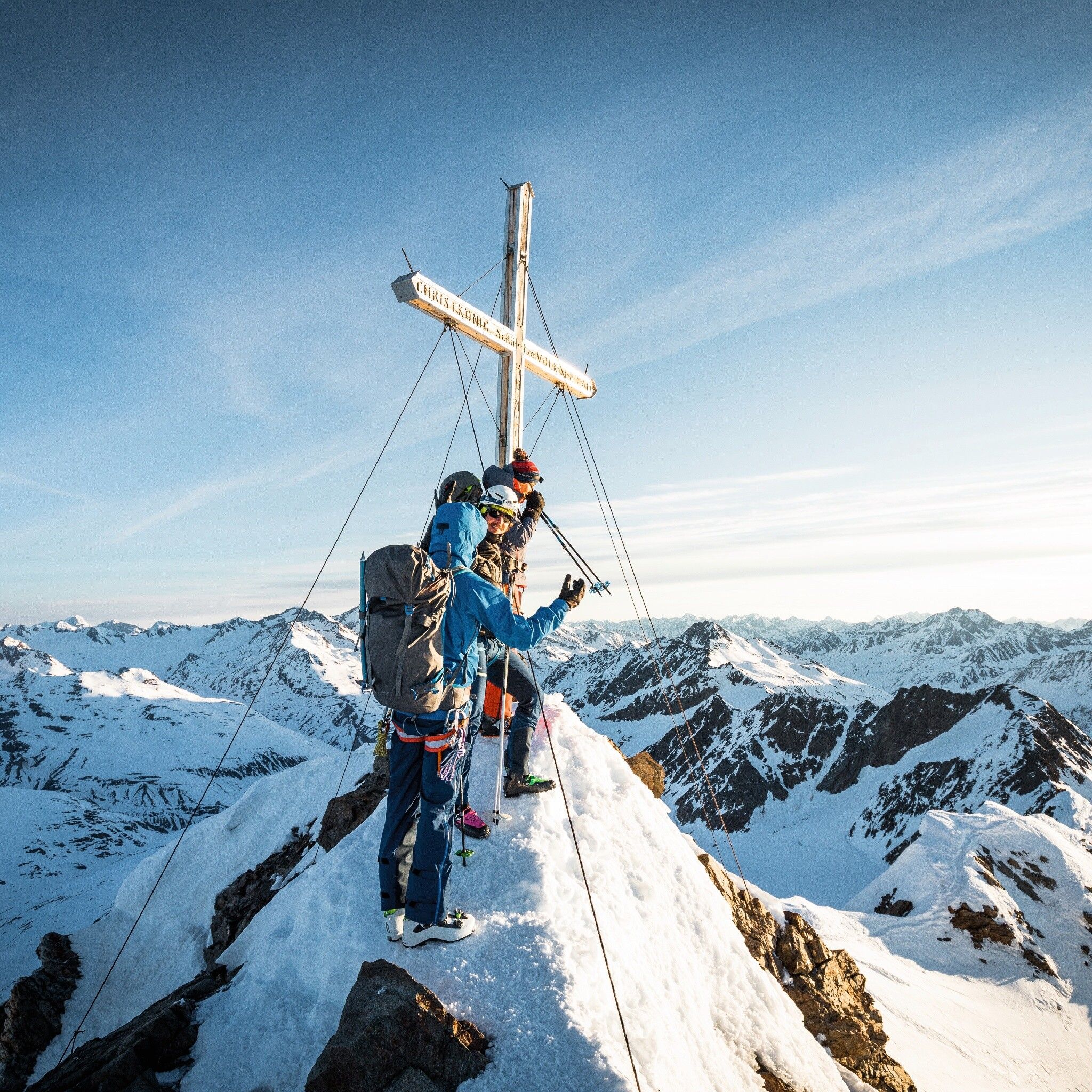
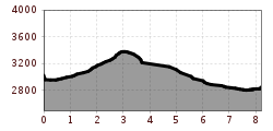
FINAILSPITZE -> SCHÖNE AUSSICHT
Avalanche danger scale
1 (LOW)An avalanche release is only possible under heavy additional load at very few, extreme steep slopes. No spontaneous avalanches (so-called slides) are expected. Generally safe conditions.
2 (MODERATE)An avalanche release is probable under heavy additional load mainly at the specified steep slopes. Larger avalanches are not expected. The snow cover is generally well consolidated, except at some steep slopes. Careful route selection on the specified steep slopes and slope exposures.
3 (CONSIDERABLE)An avalanche release is likely already under slight additional load especially at the specified steep slopes. Occasionally some medium, rarely large avalanches possible spontaneously. The snow cover is only moderately to weakly consolidated on many steep slopes. Experience in avalanche assessment necessary. Try to avoid specified steep slopes and slope exposures.
4 (HIGH)An avalanche release is possible already under slight additional load especially at the specified steep slopes. Many medium and multiple large avalanches can occur. The snow cover is weakly consolidated on many steep slopes. Route choice limited to moderately steep terrain and consideration of avalanche run-out zones. A lot of experience in avalanche assessment is necessary.
5 (VERY HIGH)Numerous large avalanches, also in moderately steep terrain, are to be expected spontaneously. At this warning level, safe operation in ski areas is no longer possible. The snow cover is generally weakly consolidated and unstable. It is recommended to refrain from tours.
See also at lawine.tirol.gv.at
Recommended ski touring equipment
The “normal ski touring equipment” consists of touring skis with touring bindings, telescopic poles, climbing skins, crampons, digital avalanche transceiver, avalanche shovel, avalanche probe, first aid kit and a mobile phone. A “complete glacier equipment” consists of harness, two prusik loops or ascenders of different lengths, two HMS carabiners, ice axe, crampons and a rope. A backpack with appropriate contents should be carried, including change of clothes, sun protection, cold protection, food, and enough to drink! For hut overnight stays, do not forget to take hygiene articles and a hut sleeping bag!
DIFFICULTY RATING
Ascent Ötzi find spot (Tisenjoch) –> past the Hauslabjoch (1.5 h) –> via the northeast ridge to the Finailspitze (3,514 m, 1 h) –> descent over the eastern part of the Hochjochferner –> crossing to the lower Hochjochferner –> short ascent to Schöne Aussicht (2,846 m)
Travel comfortably and safely by train to the Ötztal train station. The final station or exit point is the ÖTZTAL train station. Afterwards, you travel conveniently and quickly by public transit or local taxi companies through the entire valley to your desired destination! The current bus schedule is available at: http://fahrplan.vvt.at
In the mountaineering village Vent, the following parking options are available.
- In summer in front of the village (parking meter, coins or EC card only) and at the valley station of the chairlift (at the cable car ticket office)
- In winter only at the valley station of the chairlift.
Cost: € 5.00 per day/car


