
Opening hours:Open today
Place:Sölden
:Restaurant
SÖLDEN GIGGIJOCHBAHN --> Mountain station Giggijochbahn --> Roßkirpl ski slope --> Pollestalele --> Hochsölden --> SÖLDEN GIGGIJOCHBAHN
Please note the current snow and avalanche report for the coming days:
https://www.oetztal.com/de/winter.html & https://avalanche.report/albina-web/bulletin/bulletin/bulletin/latest?lang=de
Avalanche danger scale
1 (LOW)
An avalanche release is only possible with a large additional load on very few, extreme steep slopes. No spontaneous avalanches (so-called slides) are expected. Generally safe conditions.
2 (MODERATE)
An avalanche release is likely with a large additional load mainly on the indicated steep slopes. Larger avalanches are not expected. The snow cover is generally well consolidated except on some steep slopes. Careful route choice on the specified steep slopes and aspects.
3 (CONSIDERABLE)
An avalanche release is already likely with little additional load mainly on the indicated steep slopes. Occasionally some medium and sporadically large avalanches are possible spontaneously. The snow cover is only moderately to weakly consolidated on many steep slopes. Experience in avalanche assessment is necessary. Avoid indicated steep slopes and aspects as much as possible.
4 (HIGH)
An avalanche release is already possible with little additional load mainly on the indicated steep slopes. Many medium and multiple large avalanches occasionally occur. On many steep slopes, the snow cover is only weakly consolidated. Route choice limited to moderately steep terrain and observing avalanche run-out zones. Considerable experience in avalanche assessment is necessary.
5 (VERY HIGH)
Numerous large avalanches, even in moderately steep terrain, are spontaneous. At this warning level, safe operation in ski resorts is no longer possible. The snow cover is generally weakly consolidated and unstable. Avoid tours.
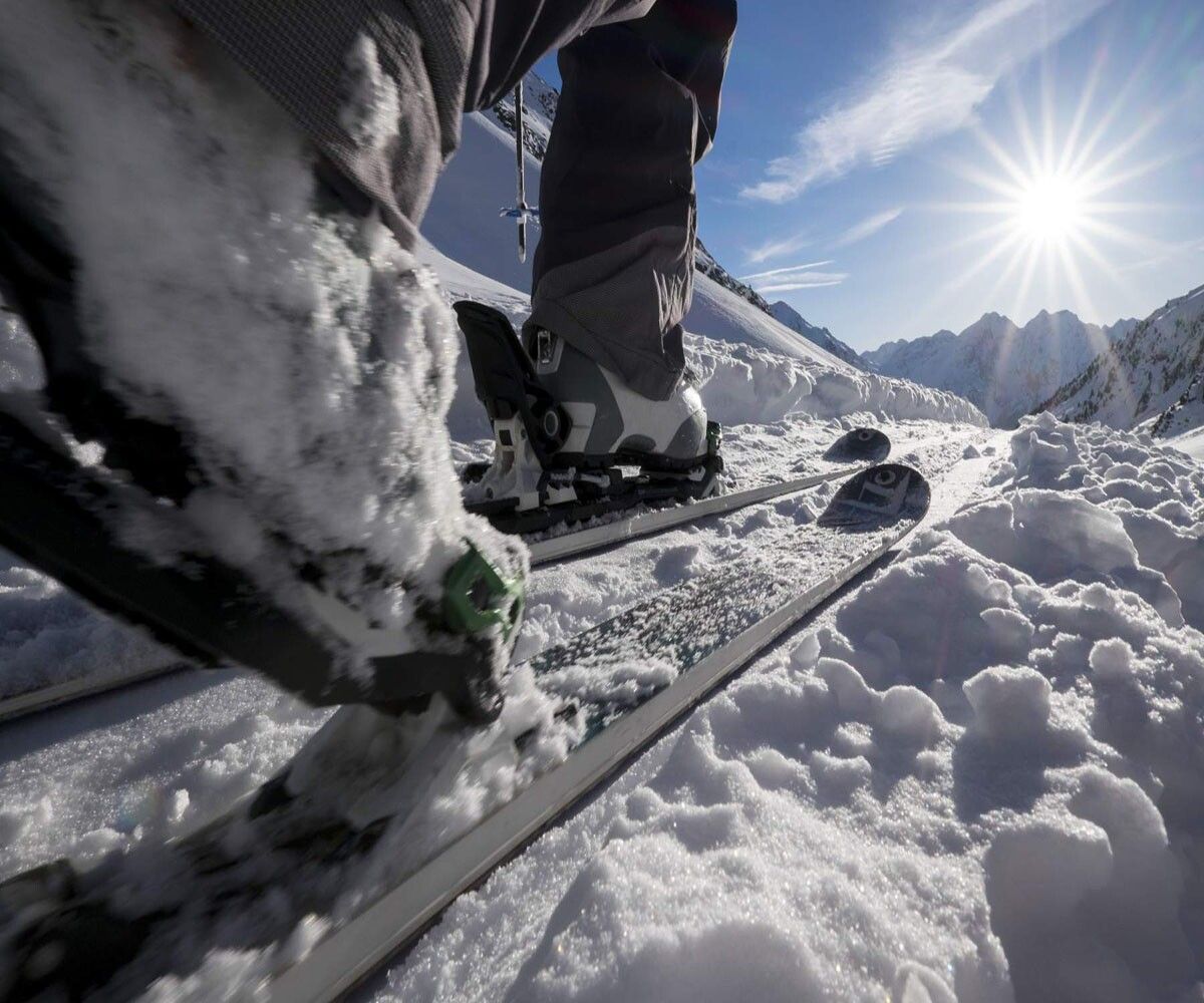
Recommended ski touring equipment
The “normal ski touring equipment” consists of touring skis with touring bindings, telescopic poles, climbing skins, crampons, a digital avalanche transceiver, avalanche shovel, avalanche probe, first aid kit, and a mobile phone. A “complete glacier equipment” consists of harness, two differently sized prusik loops or ascenders, two HMS carabiners, ice axe, crampons, and a rope. Carry a backpack with the appropriate contents, including change of clothes, sun protection, cold protection, food, and enough to drink! For hut overnight stays, do not forget to bring hygiene articles and a hut sleeping bag!
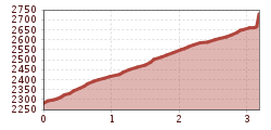
Difficulty rating
From the mountain station of the Giggijochbahn, start heading north, passing the restaurant, and go a short distance along the Roßkirpl ski slope.
Then cross the wide ski slopes heading north and finally steeply into the Pollestalele.
Continue through this small valley westwards to the col.
The descent proceeds over the slopes to the ski run above Hochsölden, then via the valley run to Sölden!
An ascent via the ski run is also possible from the valley station of the Giggijochbahn.
Travel comfortably and safely by train to the ÖTZTAL station. The final station or exit point is ÖTZTAL station. Afterwards, you can travel conveniently and quickly with local public transport or taxi companies through the entire valley to your destination.
Current bus timetable available at: fahrplan.vvt.at
In Sölden, the following parking options are available:
The parking spaces are subject to fees.


