
Opening hours:Open today
Place:Achenkirch am Achensee
:Restaurant:Breakfast, vegetarian, vegan
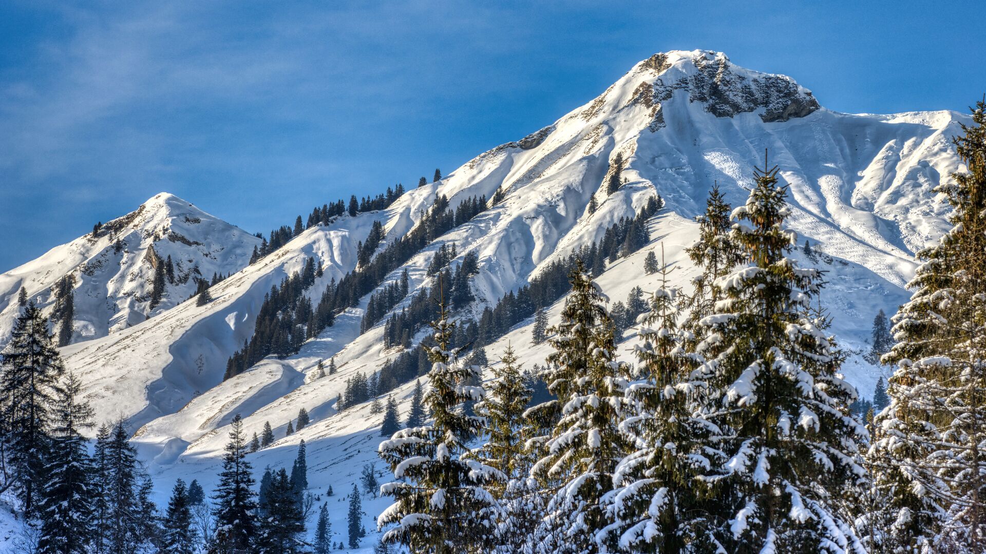
Ski tour through the Unterautal valley with a steep, demanding final section. The summit slope is often prone to avalanche.
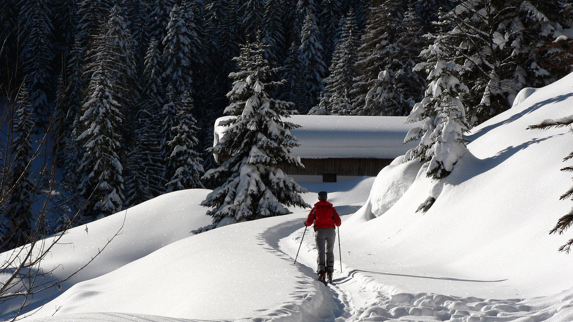
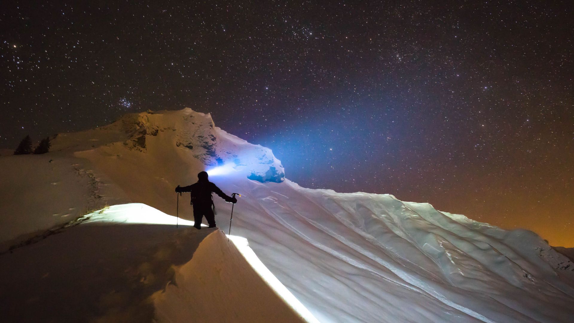
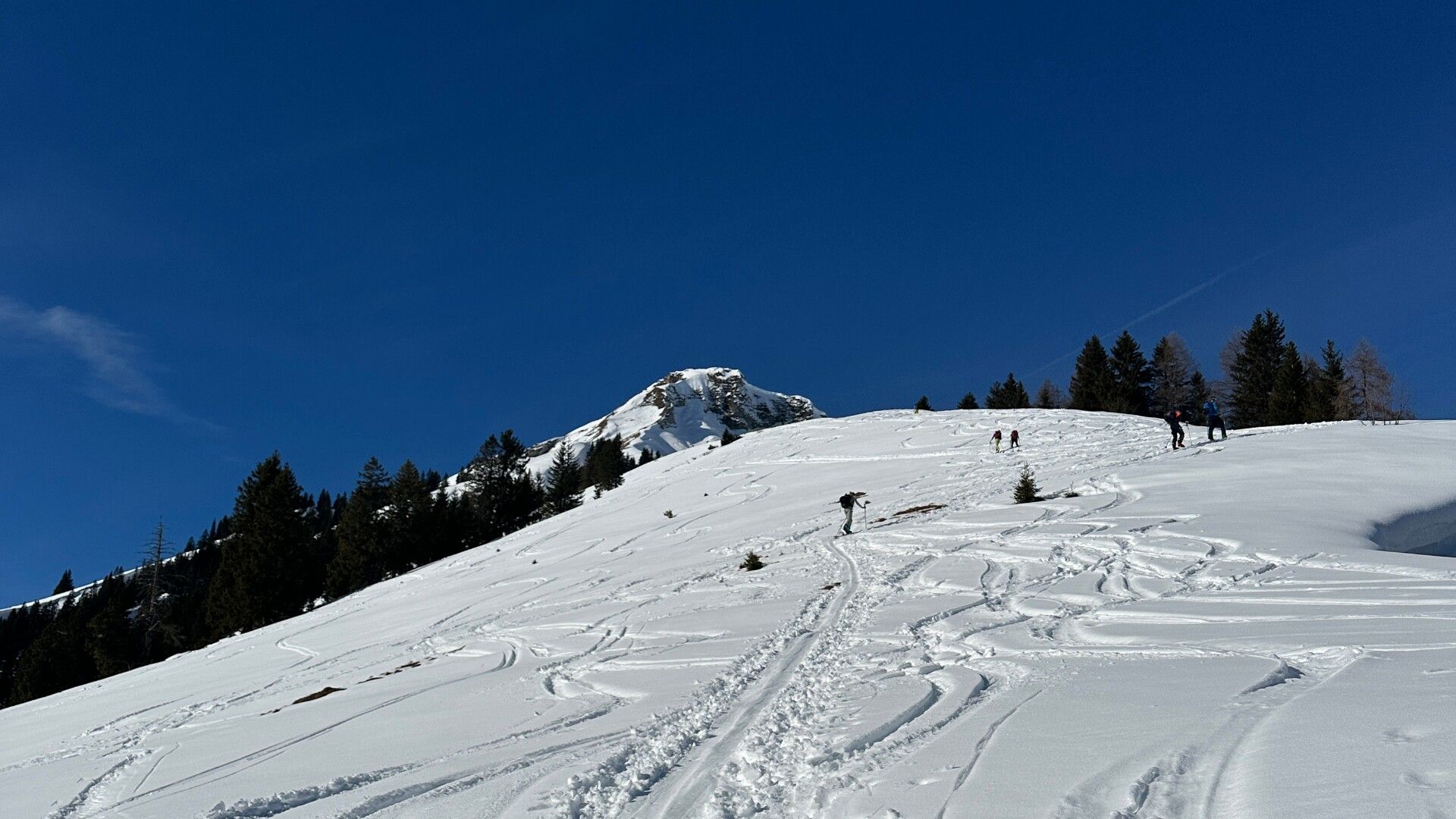
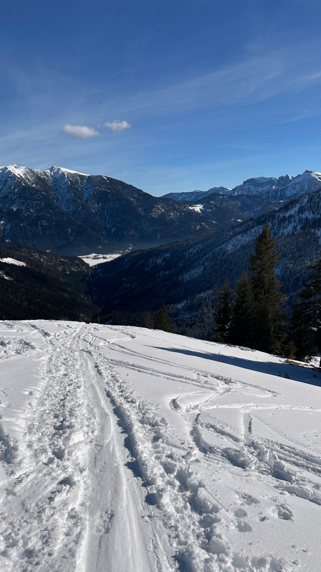
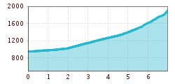
Ascent from the avalanche beacon checkpoint Unterautal. Follow the winter hiking path to the Hochstegalm (1,159m) and continue to the junction Gröbenalm (1,540m). From there, the route leads to the right over steep slopes to the eastern ridge of the Rether Kopf (1,700m) and to the eastern flank. Climb uphill taking steep turns past the summit rock into a small wind gap in the northern ridge and continue to the summit of the Rether Kopf.
The descent follows the ascent route.
Take the regional bus (lines 4080 or 390) to Achenkirch and get off the bus at "Achenkirch Christlumlifte" stop.
Car park Unterautal oder car park Unterautal Valley entrance in Achenkirch (both chargeable)


