This route leads to the Zammer Alm, where a stop is always worthwhile, and then continues up to the top station of the Venetbahn, where the view compensates for the efforts of the climb.
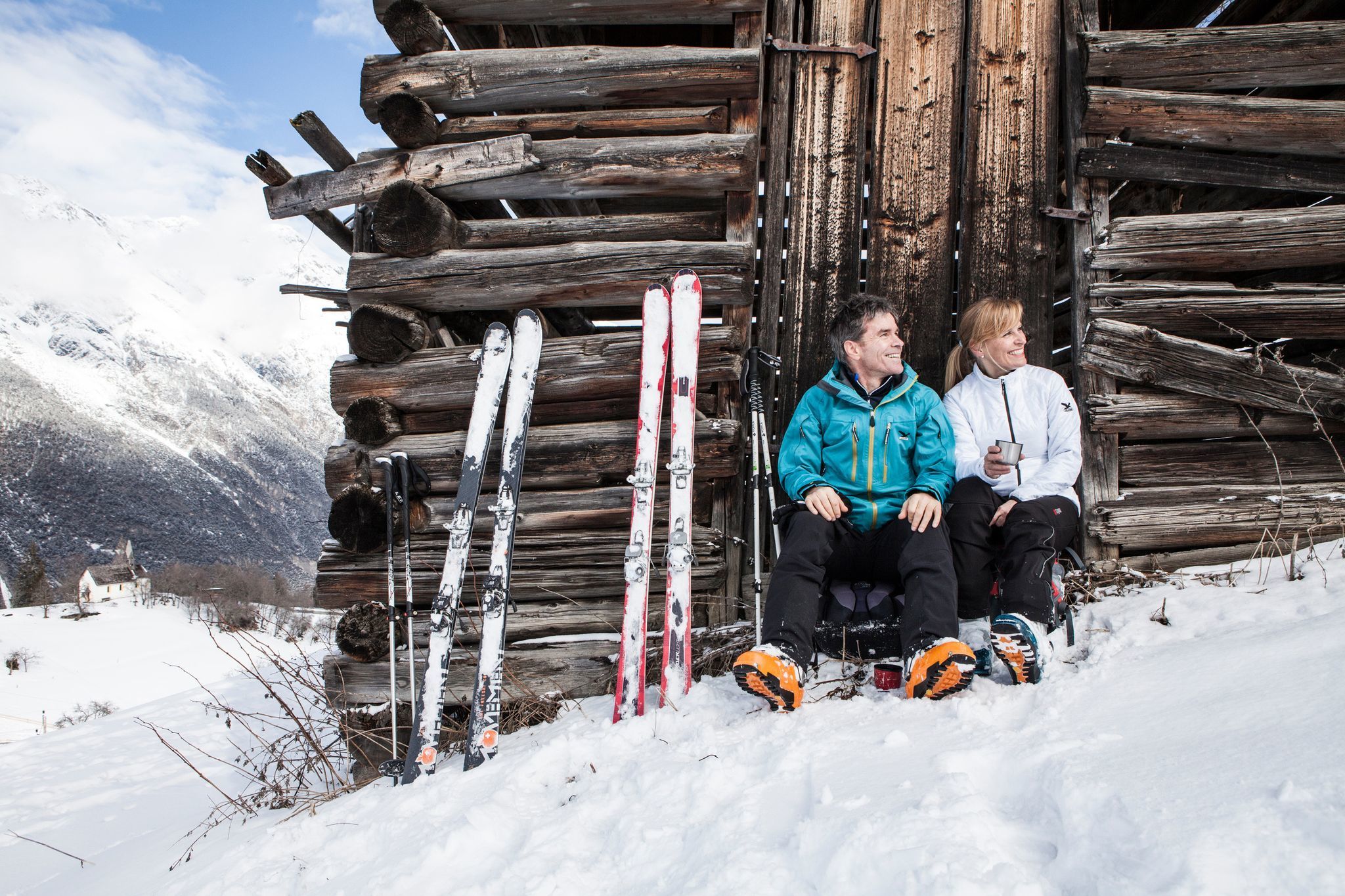
Next to the piste and through the forest, the trail leads up to the Venetbahn mountain station at 2,208 m. A magnificent panoramic view is reward for the effort and a refreshment in the Panorama Restaurant recharges the batteries.
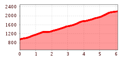
Length: 6105 m
Ascent: 1251 m
Descent: 15 m
Lowest point: 957 m
Highest point: 2193 m
