
Opening hours:Open today
Place:Alpbach
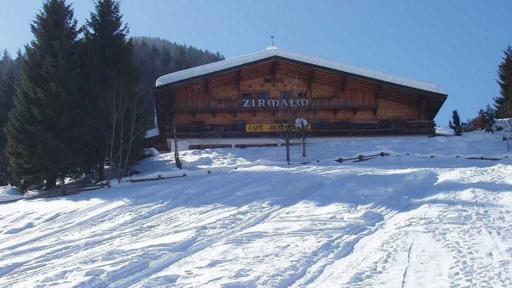
:Restaurant
Moderately difficult ski route to a scenic summit in Inneralpbach with extensive descent terrain
Ski touring equipment, sufficient drinks and provisions
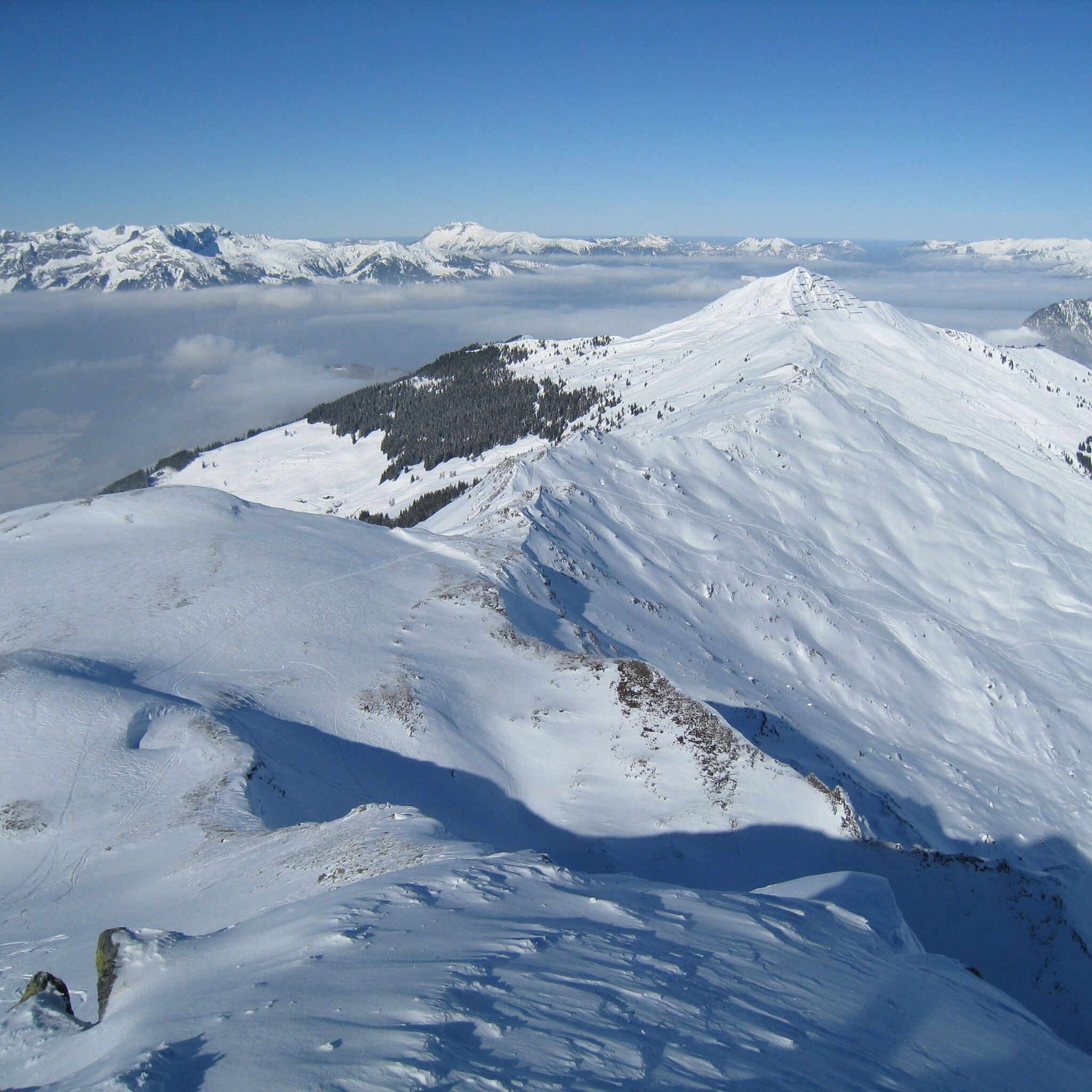
Ascent: From the Leitner parking lot in the Greiter Graben in Inneralpbach along the trail downhill. Later continue on the road south to the Greiteralm lower lodge (1,320 m). Immediately after the alpine buildings, turn right heading west, gently rising directly to the Greiter Graben east of the Sagtaler Spitze. Shortly after, keep right over wide alpine meadows uphill to the Hochalm. Above the buildings, the route leads through a light forest belt uphill into the extensive terrain below the connecting ridge from Hochstand (highest peak south of Wiedersberger Horn) to the Sagtaler Spitze.
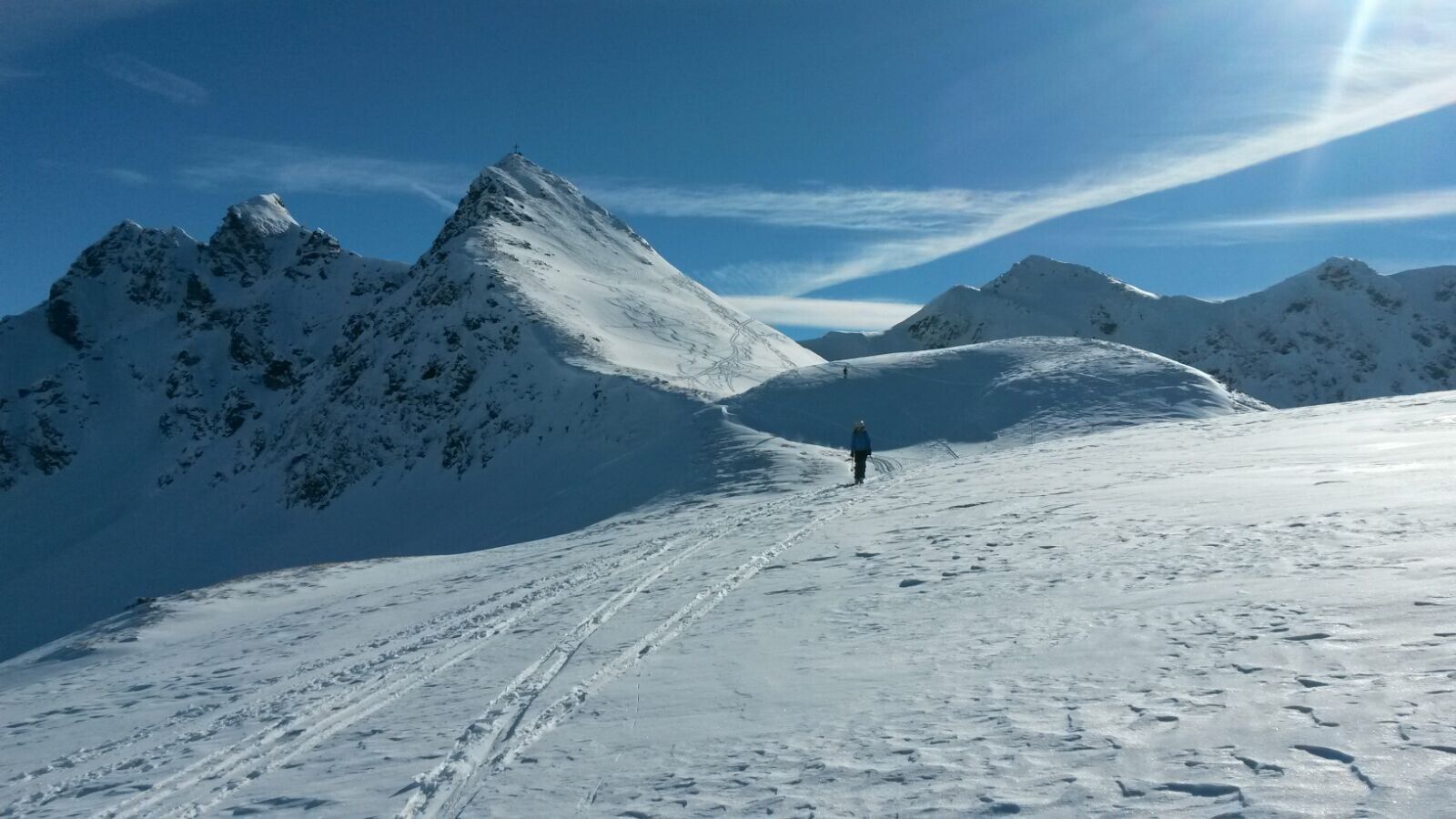
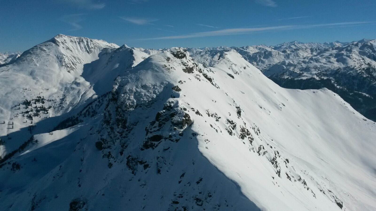
Above the forest belt, continue fairly straight uphill, skillfully bypassing the few short steep slopes. In a wide hollow below the ridge, turn southwest and ascend at the lowest point out onto the ridge (if you get it right exactly at a signpost). There turn left towards south, mostly staying right of the ridge, directly towards the steep summit formation of the Sagtaler Spitze. Finally, usually in a wide left bend into the west flank of the summit and, depending on conditions, on skis or on foot to the summit Standkopf (2,241 m).
Descent: In uncertain conditions, return towards the ascent track and follow it near the track back down to the valley. The locals often descend directly below the summit formation through steep northeast-facing terrain into the Greiter Graben above the Greitalm under safe conditions – route finding is complicated by several rocky gullies – only recommended in the safest conditions!
Paid parking lot Greitereck in the Greiter Graben next to the former Leitner inn.


