
Opening hours:Open today
Place:Alpbach
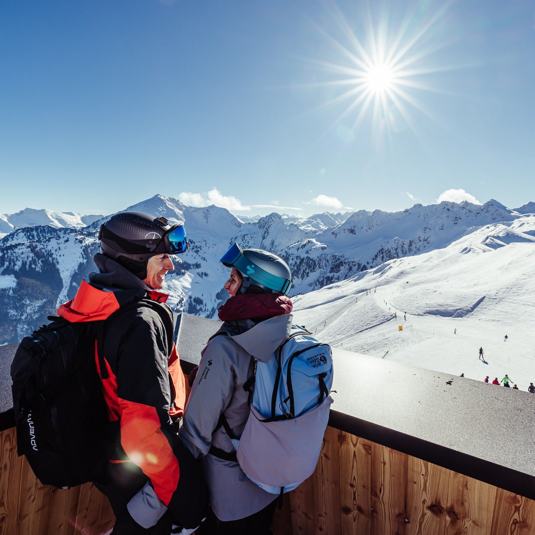
:Restaurant
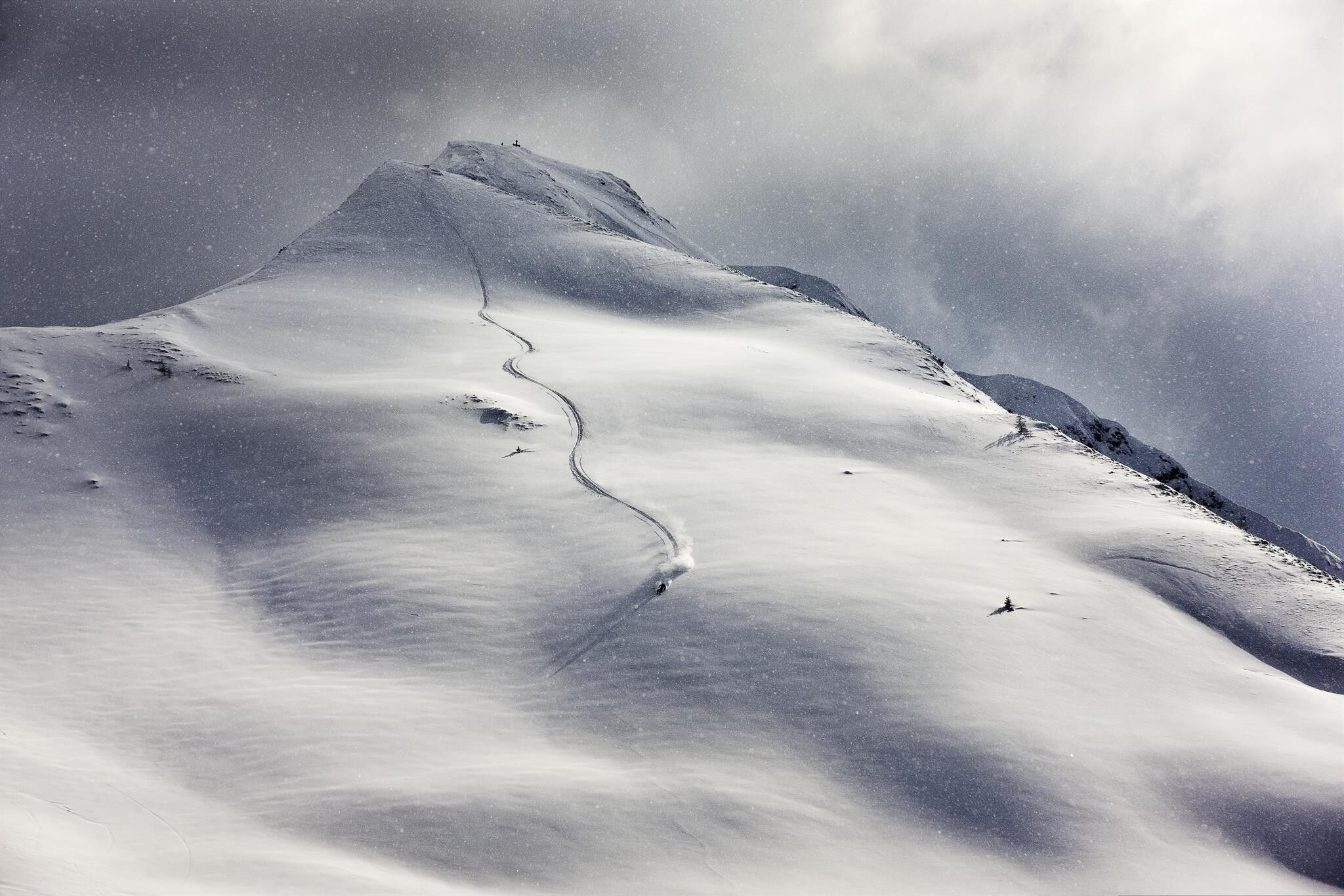
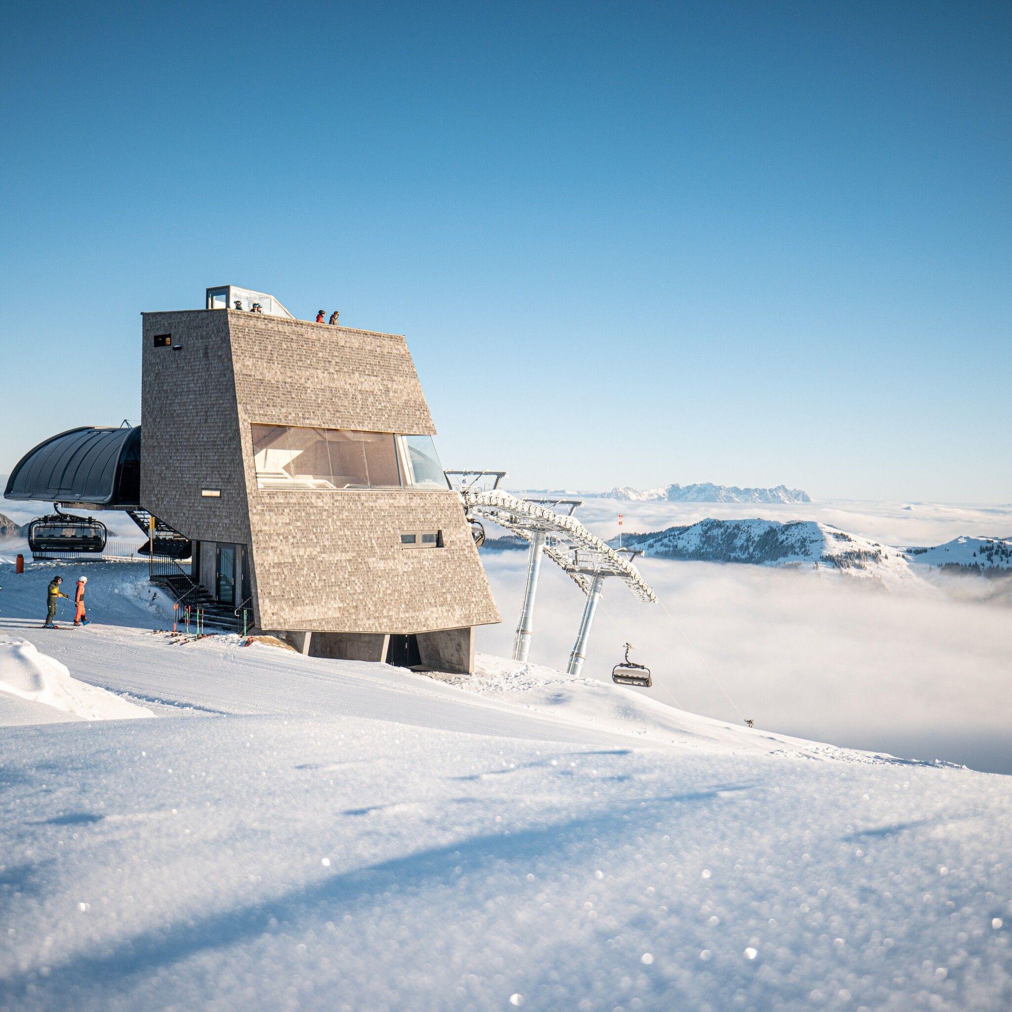
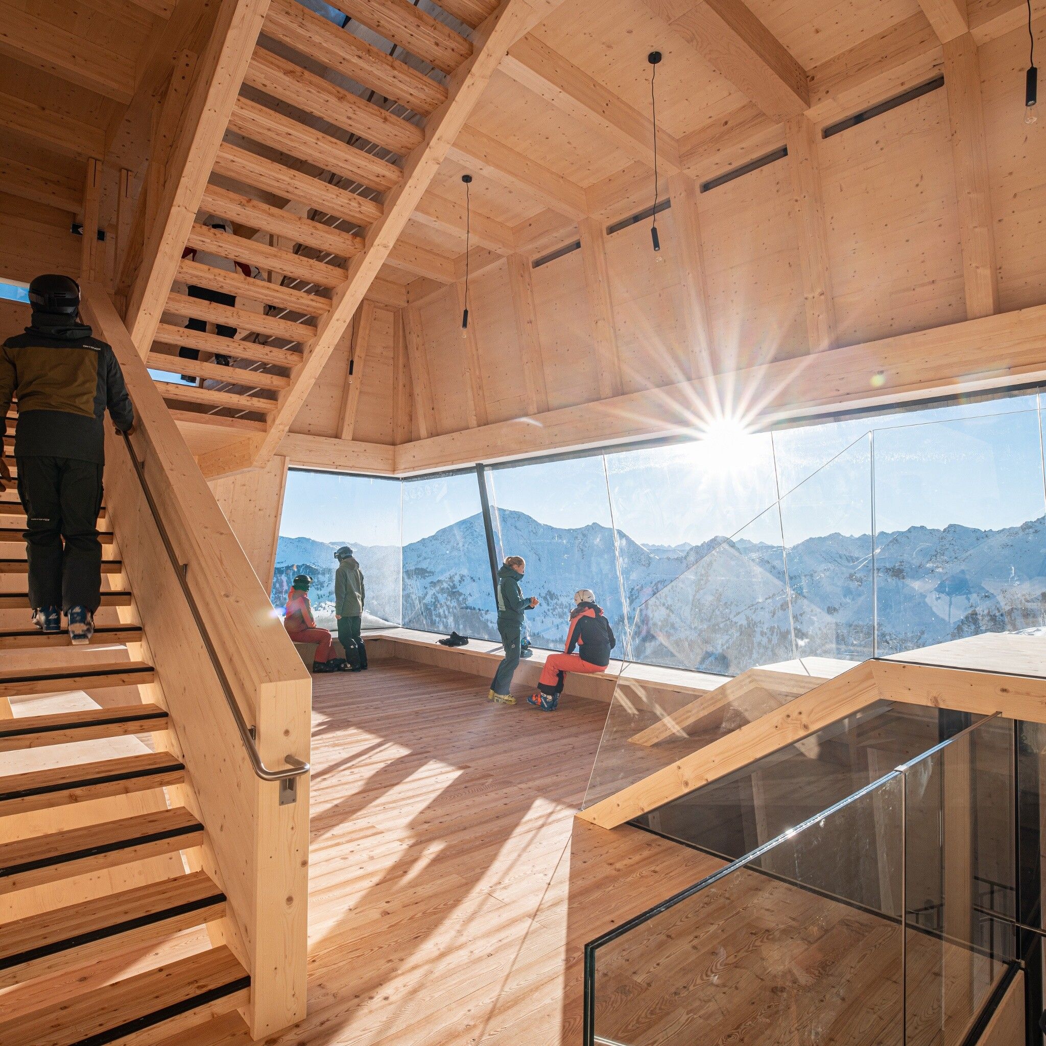
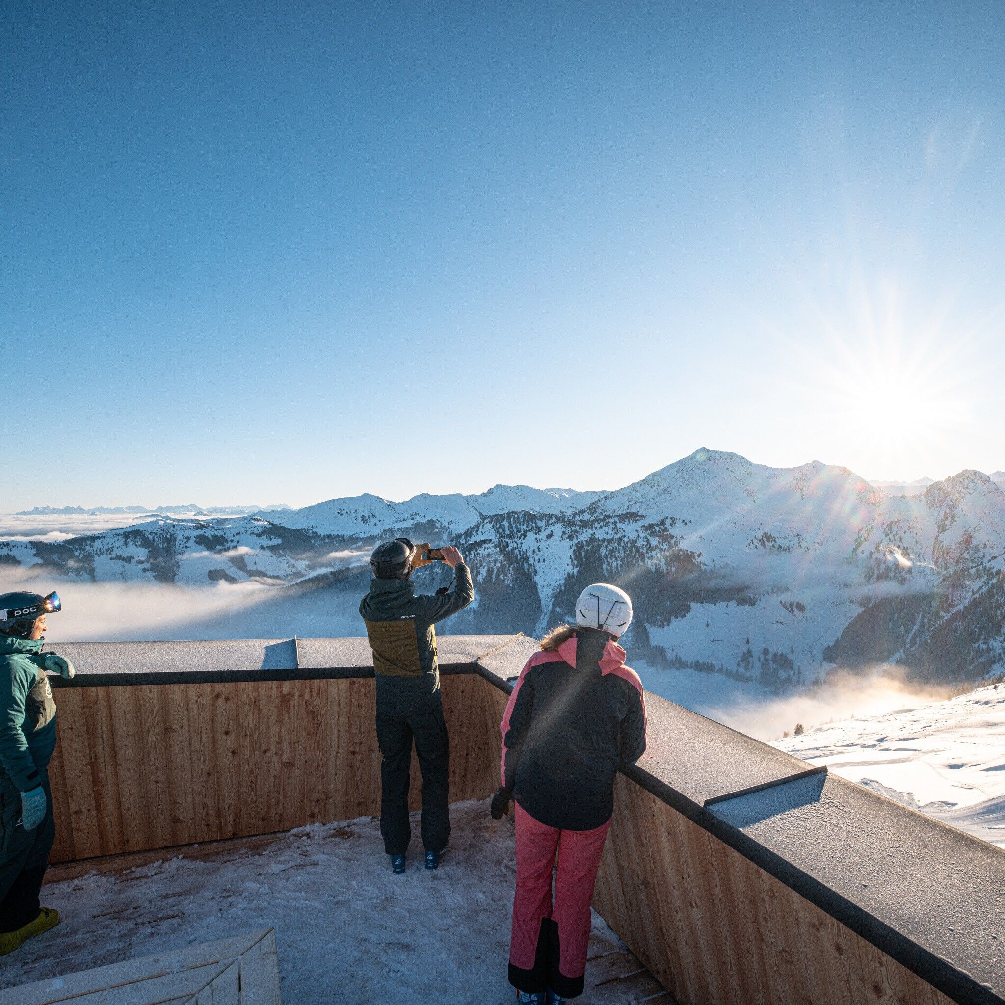
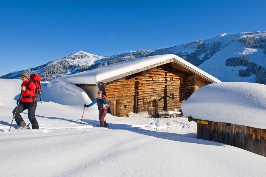
Ski route in the "Greiter Graben" in Alpbach and ascent over pastures up to the 360° observation tower "Top of Alpbachtal".
Observe the current avalanche situation on every ski tour.
Avalanche Warning Service Tyrol
Ski equipment, sufficient drinks and provisions
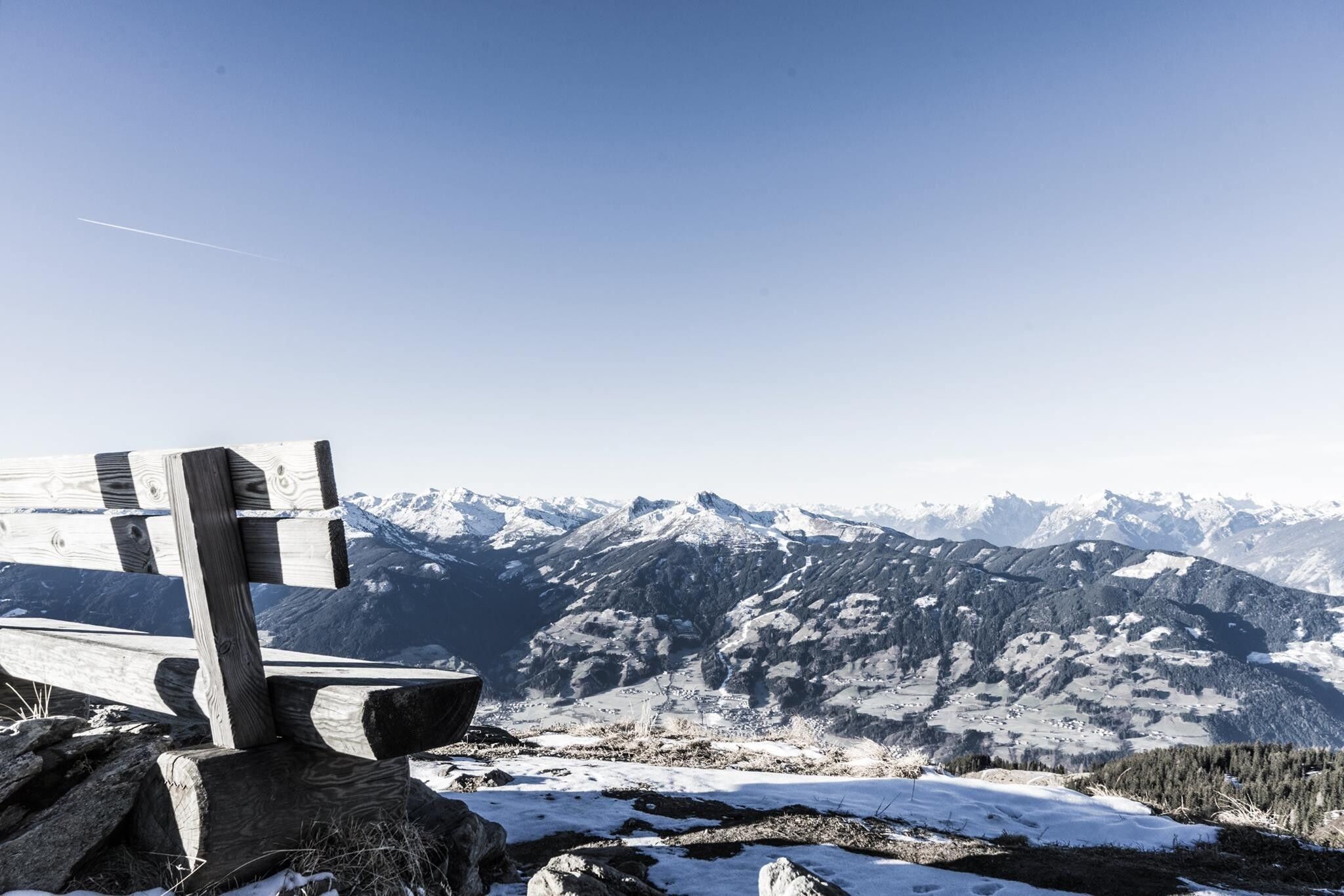
Walking time: approx. 3 h – 1,000 m ascent to the Top of Alpbachtal.
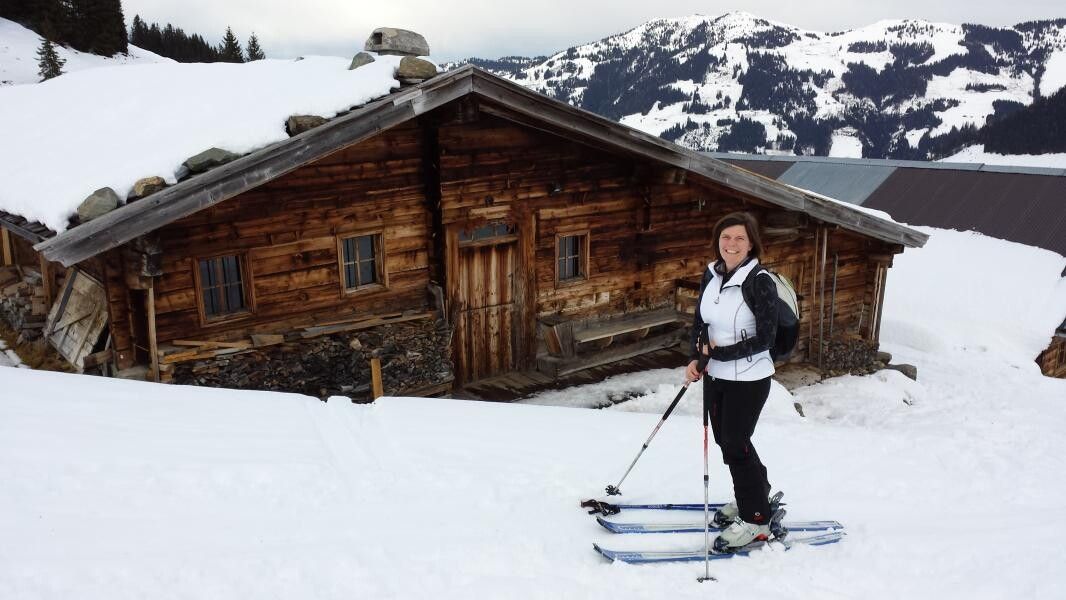
From the Schlepplift Galtenberg down the ski route 66; on the meadow, you reach two wooden houses near a ravine (approx. 2 km); after the houses, a short stretch further downstream, then ascend right in the area of a forest road (or via shortcuts) to Moserbaumgartenalm. After the alm, keep slightly right and ascend right of the forest to a hut. Then straight upwards, left along a mountain ridge to the ski slope (ski path). Follow this to the mountain station "Hornbahn 2000" – dining option: Hornalm
Descent: same as ascent route or via the ski area to Inneralpbach
www.vvt.at/Line: 620/Stop: Inneralpbach
Paid parking lot Inneralpbach


