
Arrival by public transport
Mit dem Bus bis zur Haltestelle "Obertilliach Ort"
Ski tour Golzentipp via Gripp
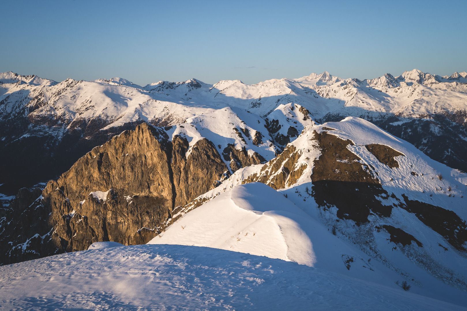
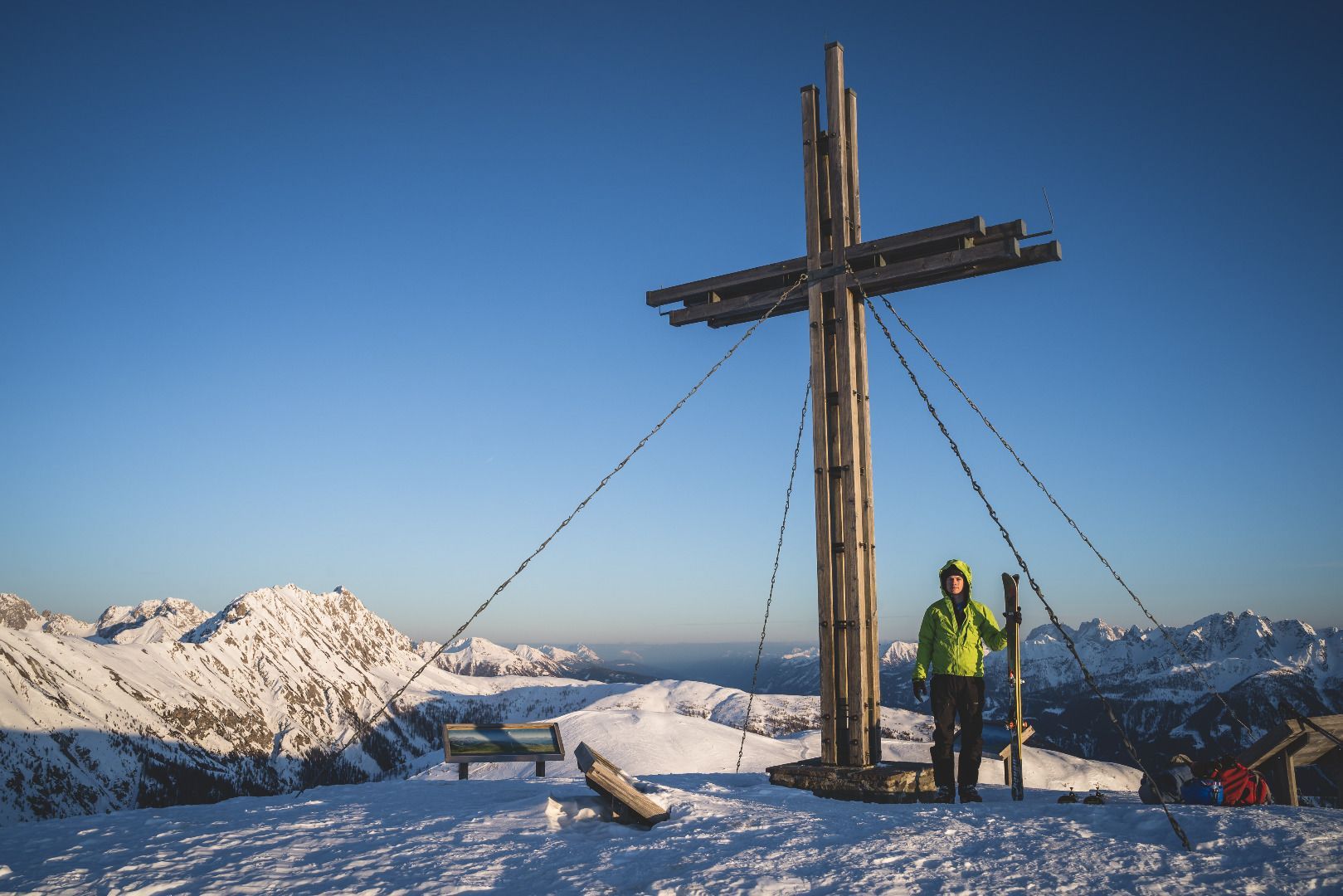
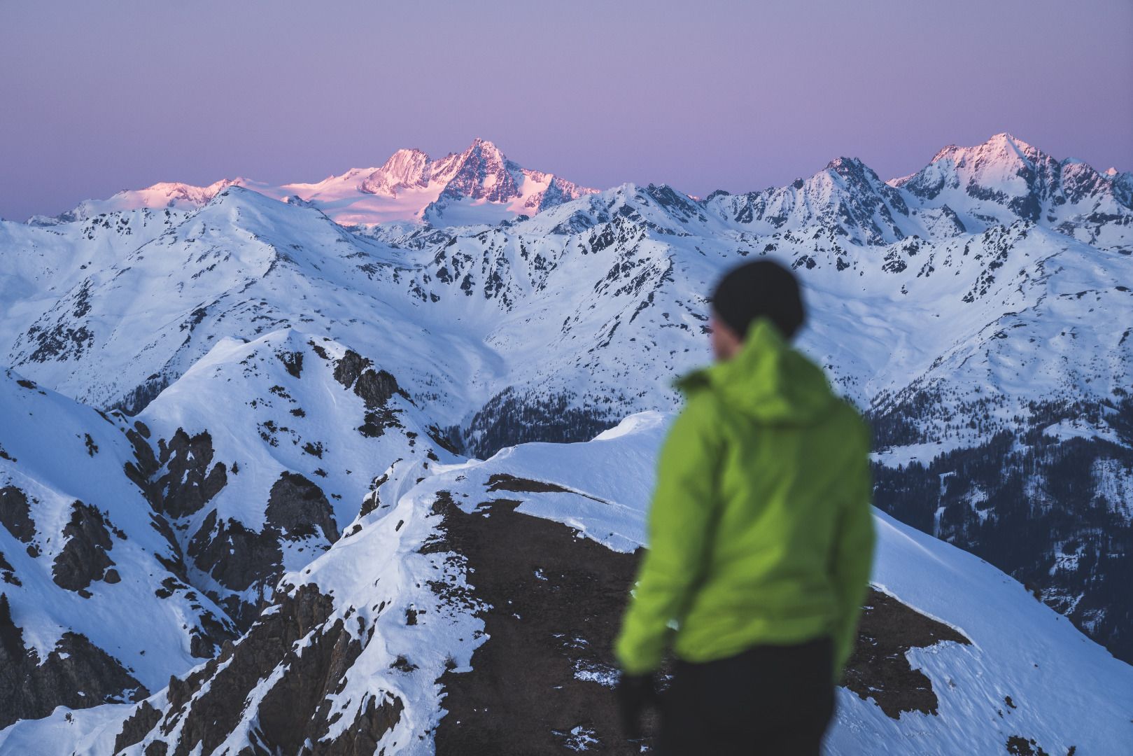
The wide summits of the Golzentipp form the end of the Obertilliach ski area and are a half hour walk to the west of the mountain station. The ski tour via the ‘Gripp’, a wide forest ridge, which proceeds from the conservation-protected area to the Gailtal altitude trail, is variety-packed throughout and is particularly sunny, which is no bad thing on cold winter days. Even when there is little snow this circuit is absolutely recommended, and you can indeed use the very well prepared pistes for the descent.
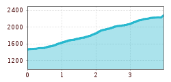
Starting point is Obertilliach (1450 m). There is a large car park before Almfamilyhotel Scherer at the left. Initially we follow the ski piste to the mountain station for a short time. Just above here a route signpost to the left takes us, crossing the T-bar corridor, across a small bridge into the forest. We use the forest trail for a bit before another route signpost takes us downhill into steeper terrain. When there is not much snow and the tracks are icy, crampons are advantageous here, so as not to expend any undue energy. The ski track now proceeds in part along the summer signposts and also truncated, via short glades through the steep forest area. We cross the forest trail several times and after around 1 - 1 ½ hours get to a traditional Alpine lodge right at the treeline. The further climb keeps more or less to the windswept ridge. Finishing via a short plateau we reach the ‘summit area’ of the Golzentipp. In a few hairpin bends we head without difficulty to the highest point (3 hours from the valley). The descent now follows east, above the traditional ‘Kutteschupfen’, with a few swift ‘boarding sections’, to the Stubenlift. From there you get to enjoy the pistes and a refreshment stop.
Additional ski tour tips can be obtained in the ski tour guides by Thomas Mariacher.
Mit dem Bus bis zur Haltestelle "Obertilliach Ort"
Parkplatz bei der Gondelbahn Obertilliach


