
Öffnungszeiten:Heute geöffnet
Ort:Oetz
:Alpine pasture / hut / mountain restaurant
PARKING ISSBRÜCKE -> Upper Issalm - Knappenhaus - Wörgetal - WETTERKREUZ
Avalanche Danger Scale
1 (LOW)
An avalanche release is only possible under heavy additional load on very few, extreme steep slopes. Spontaneous avalanches (so-called slides) are not expected. Generally safe conditions.
2 (MODERATE)
An avalanche release is likely under heavy additional load especially on the indicated steep slopes. Larger avalanches are not expected. The snow cover is generally well consolidated, except on some steep slopes. Careful route selection on the indicated steep slopes and slope aspects.
3 (CONSIDERABLE)
An avalanche release is already likely under light additional load especially on the indicated steep slopes. Occasionally some medium, rarely also large avalanches are possible spontaneously. The snow cover is moderately to poorly consolidated on many steep slopes. Experience in avalanche assessment is necessary. Avoid indicated steep slopes and slope aspects as much as possible.
4 (HIGH)
An avalanche release is possible already under light additional load especially on the indicated steep slopes. Occasionally many medium, several also large avalanches occur. On many steep slopes, the snow cover is poorly consolidated. Route selection should be restricted to moderately steep terrain and take avalanche runout zones into account. Much experience in avalanche assessment is needed.
5 (VERY HIGH)
Numerous large avalanches are expected spontaneously, even in moderately steep terrain. At this warning level, a safe operation in ski areas is no longer possible. The snow cover is generally poorly consolidated and unstable. Avoid routes.
See also at lawine.tirol.gv.at
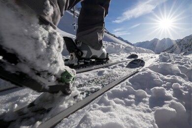
Recommended Ski Route Equipment
The "normal ski tour equipment" consists of touring skis with touring bindings, telescopic poles, climbing skins, crampons, digital avalanche transceiver, avalanche shovel, avalanche probe, first aid kit, and a mobile phone. A "complete glacier equipment" consists of a harness, two prusik loops or ascenders of different lengths, two HMS carabiners, ice axe, crampons, and a rope. A backpack with appropriate contents should be carried, including change of clothes, sun protection, cold protection, food, and enough drinks! For overnight stays in mountain huts do not forget hygiene items and a hut sleeping bag!
Difficulty Rating
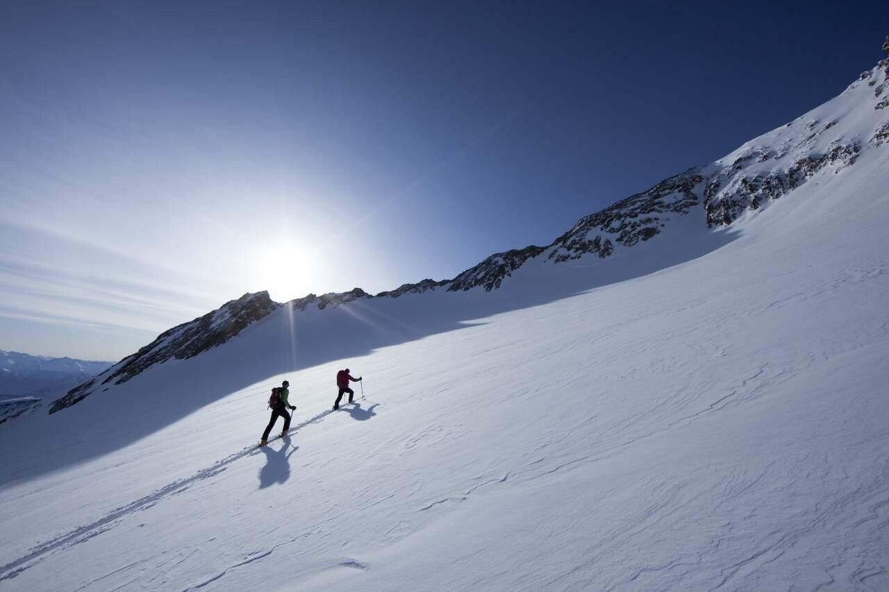
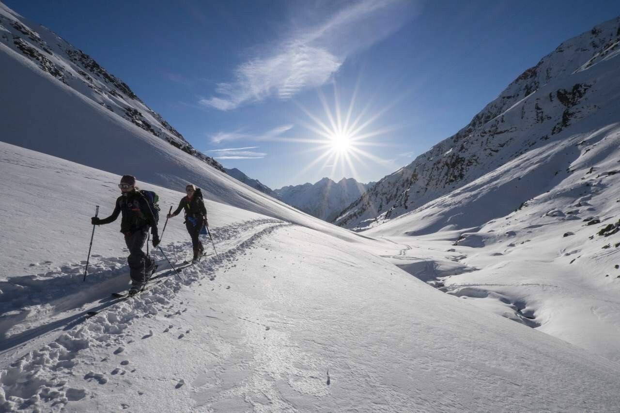
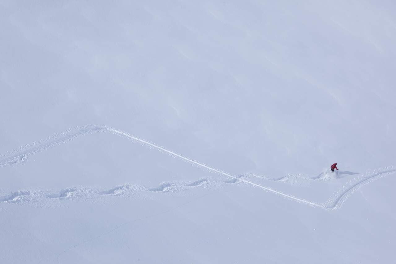
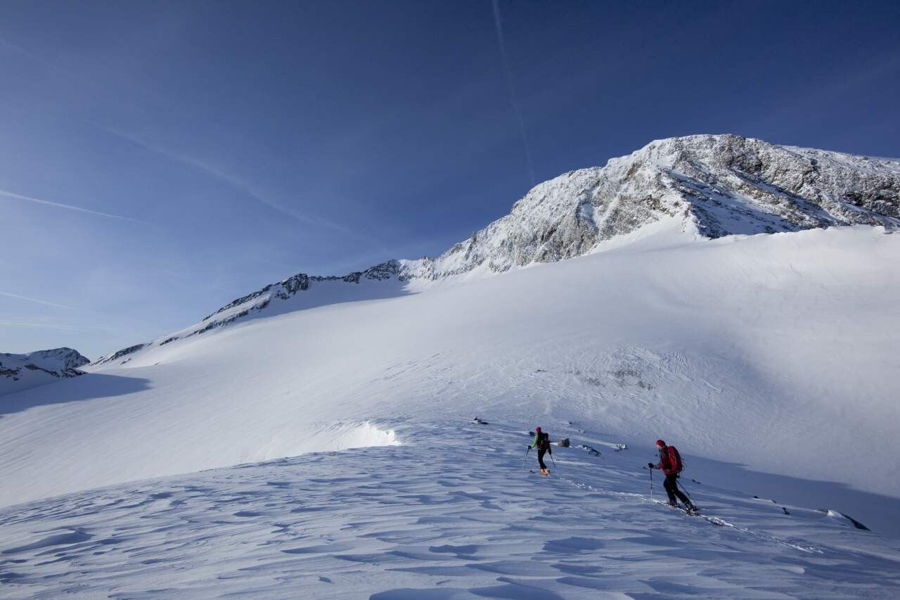
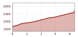
The Wetterkreuzkogel (2591m) is the most popular ski route in the Wörgetal. From the "Issbrücke" parking lot on the Kühtai state road in the valley, it first goes easily through sparse forest up to the Upper Issalm. From here it continues southwest through lighter forest, past the miners' house into the Wörgetal. Here you bypass a distinctive section with a left-right loop and reach the summit slope. In the upper part of the summit slope, keep rather left and then ascend to the summit.
Travel comfortably and safely by train to the Ötztal station. The final stop or exit point is the ÖTZTAL station. Afterwards, travel conveniently and quickly by public transport or local taxi companies through the entire valley to your desired destination! The current bus timetable is available at: http://fahrplan.vvt.at
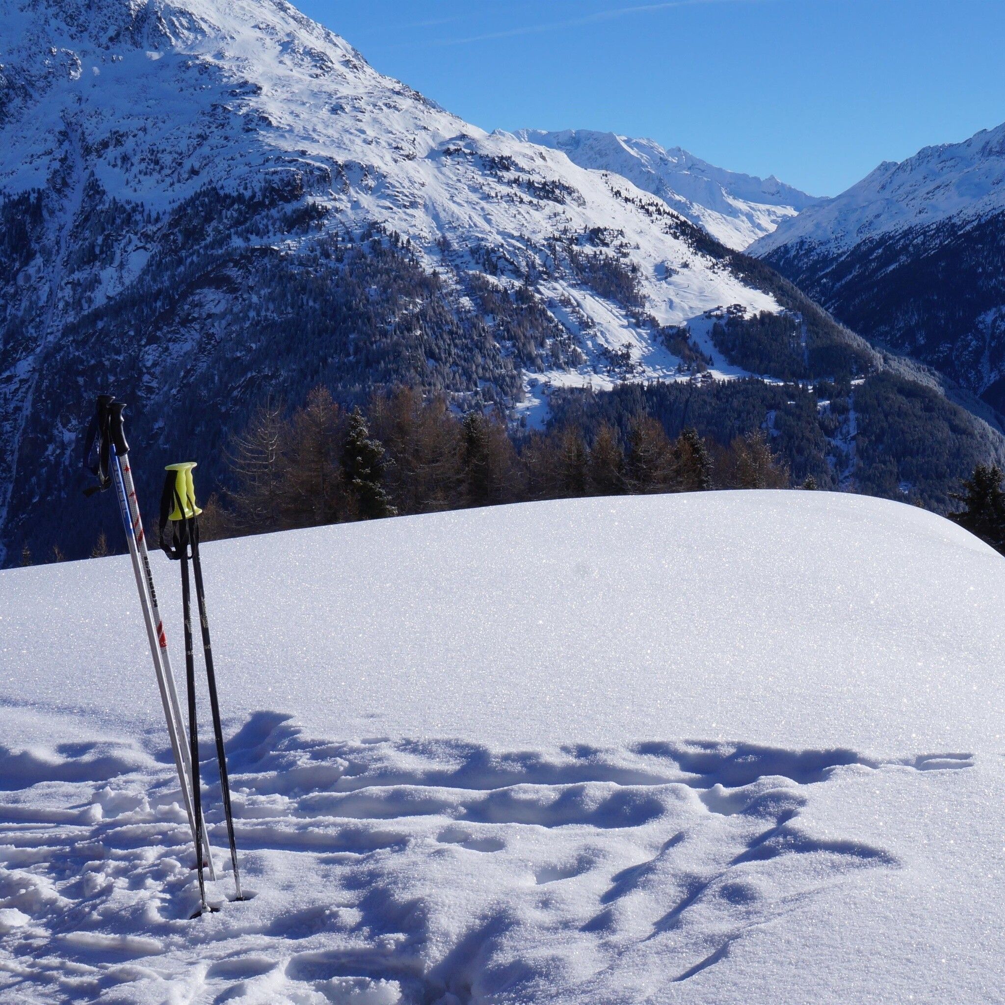
Parking "Issbrücke" about 3 km after Ochsengarten, free of charge


