
Opening hours:Today closed
Place:Steinberg am Rofan
:Restaurant
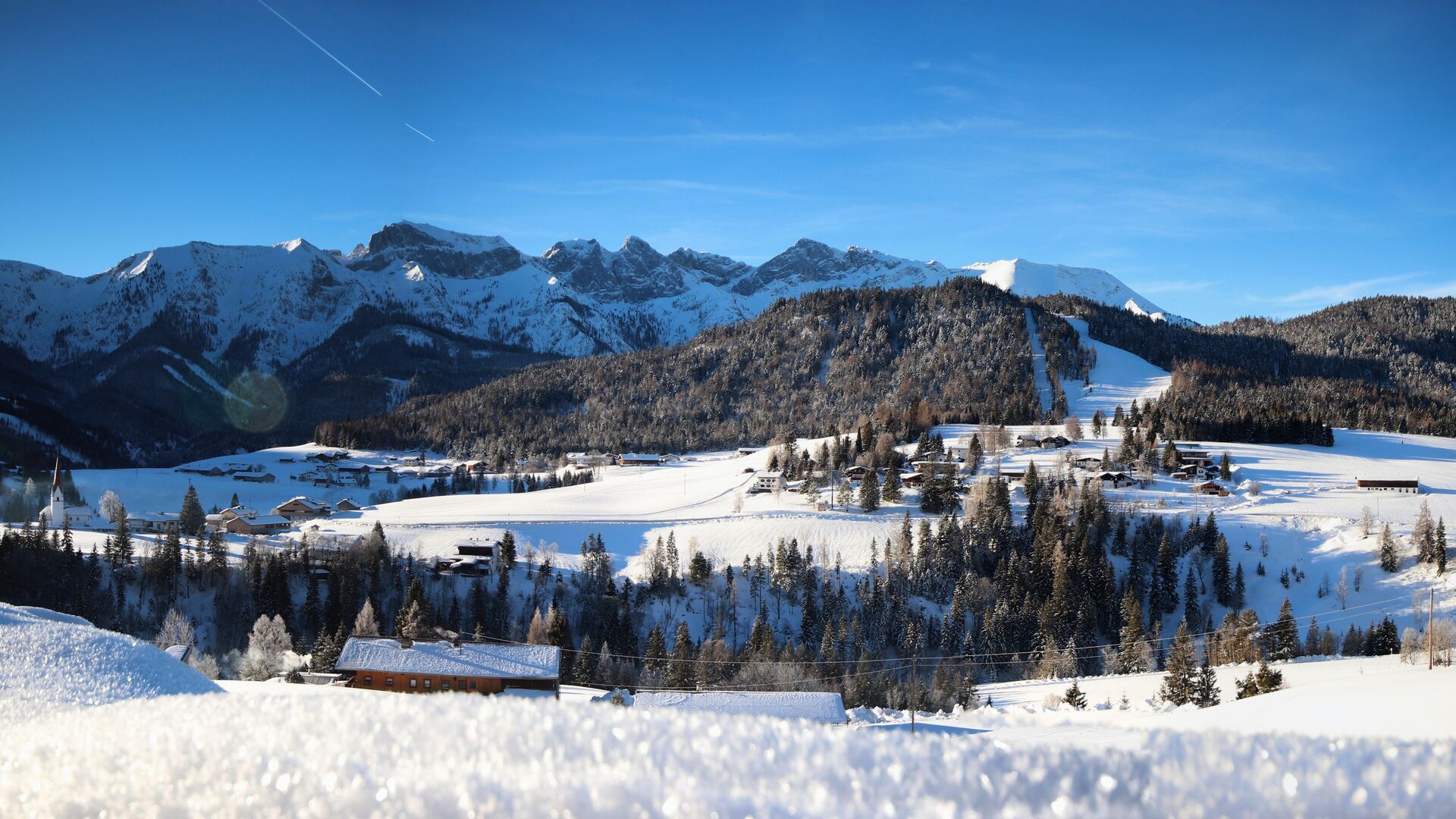
This winter walk is also a popular, sunny route in spring, with lovely views of the Mountaineering Village Steinberg am Rofan.
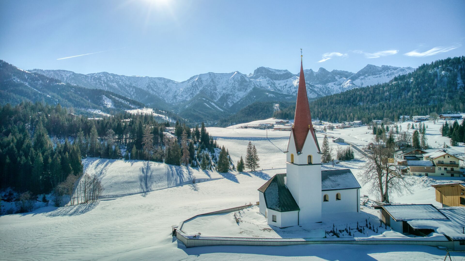
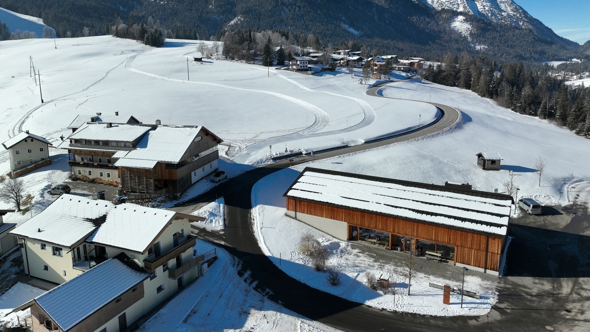
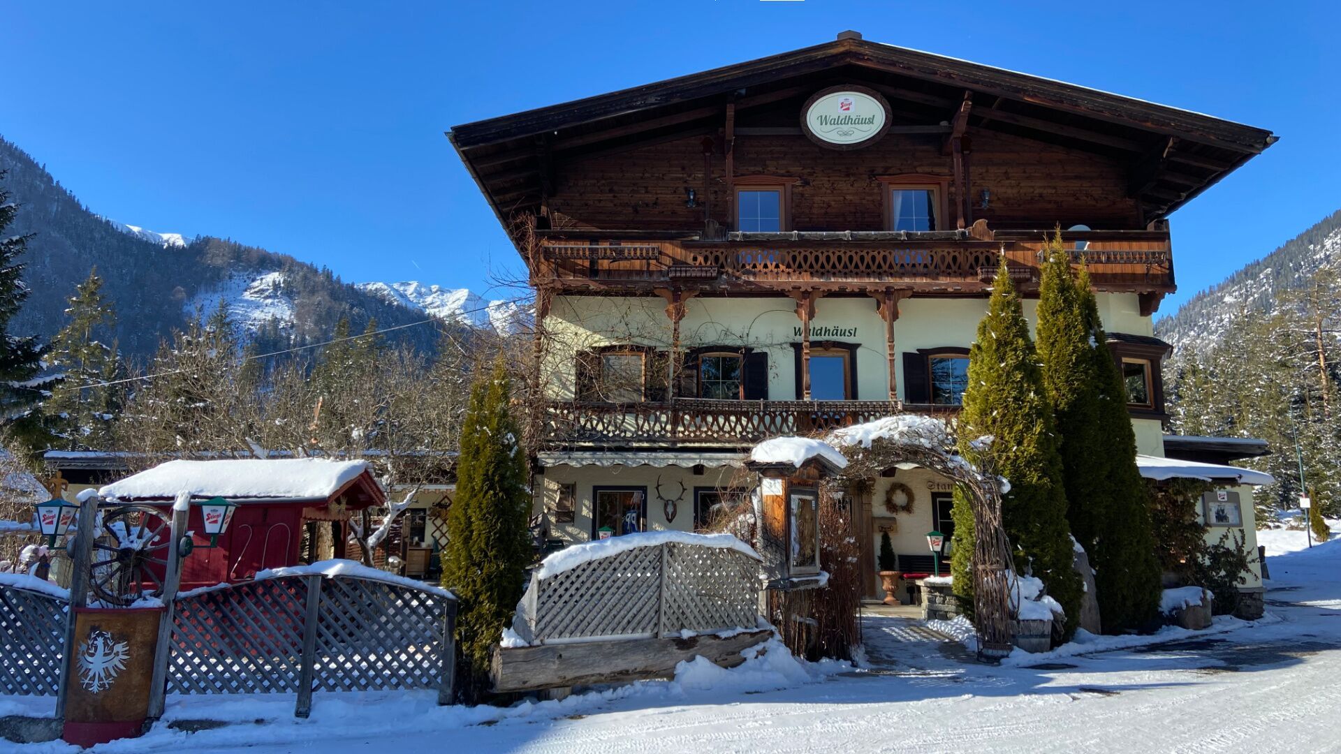
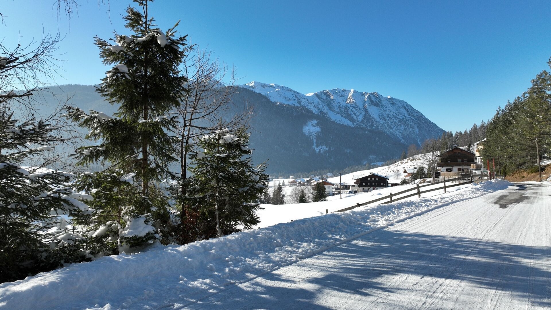
The tour starts from the parish church. After the Dorfhaus, turn right and walk along the federal road below the Waldhäusl inn (for ca. 25 minutes). Turn right in the direction of Kaiserhaus/Pinegg. Follow the road, and at the next junction, keep left and walk straight on to Außersteinberg until you reach the end of the cleared road (former inn Gasthaus Gang, barrier). This route is particularly suitable in spring as a sunny walk and offers beautiful views of Steinberg am Rofan. The return is along the same route, with an option to stop for refreshments at the Gasthof Waldhäusl.
Take the regional bus (line 4080 to Achenkirch, then transfer to line 7801) to Steinberg am Rofan, near the parish church and municipal office. Alight at the “Steinberg am Rofan Kirche" stop.
Car park Gemeindeamt Steinberg (free of charge)


.jpg")
 TVB Kitzbüheler Alpen-Brixental (7).jpg")


 Mirja Geh (26).jpg")


.jpg")
.jpg")

