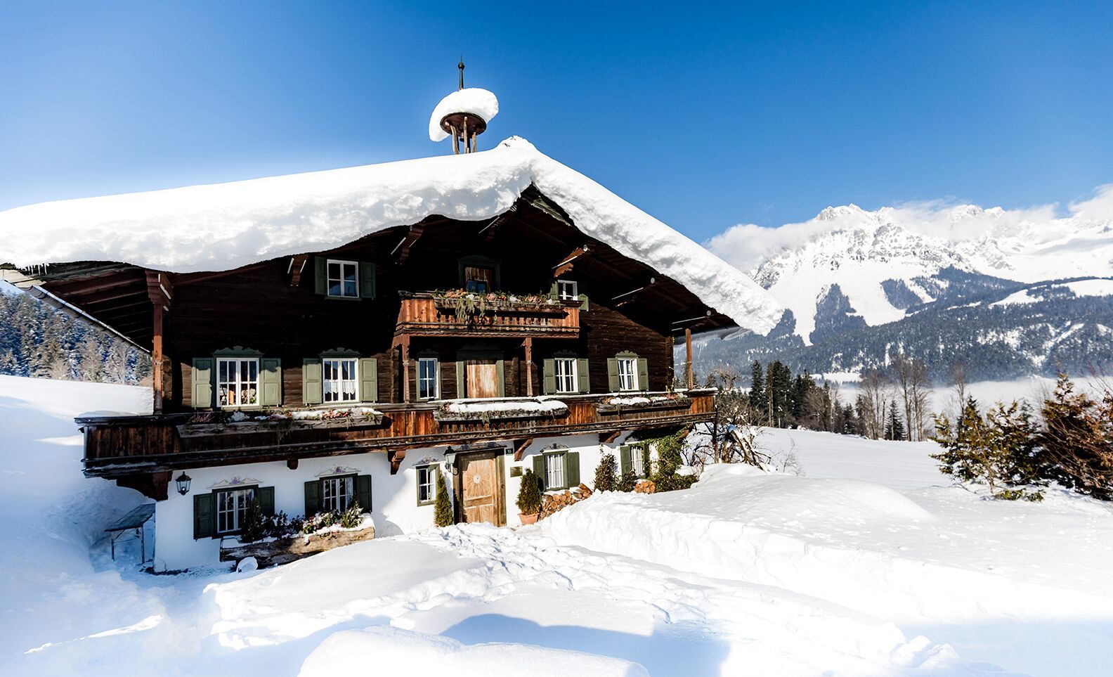
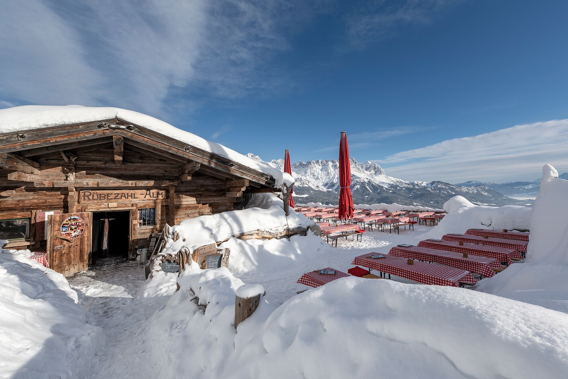
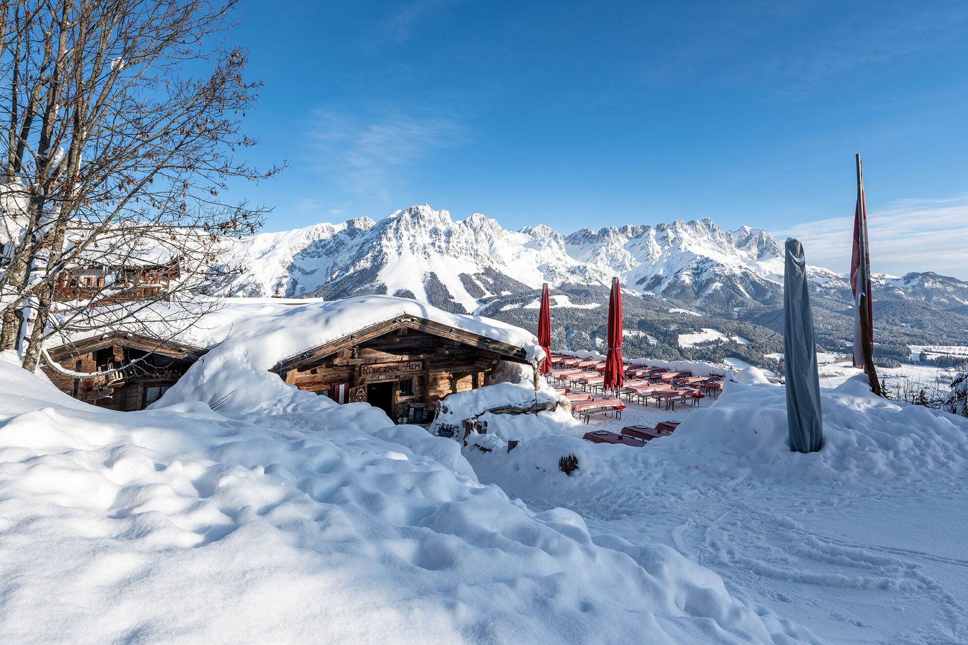
Winter hike Winter hiking trail Rübezahl-Alm

closed
Ellmau / Kaiser Mountains
Route length: 10.5 km
Duration: 4:30 h

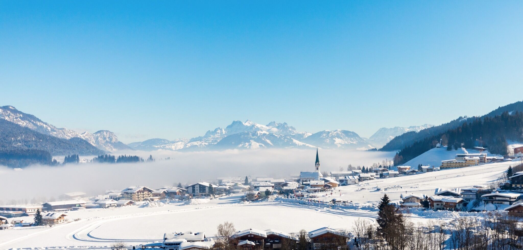
"Enjoyable" winter hike with a cozy stop for refreshments and a dreamlike panorama.
Tour information

  • Length: 10.5 km
  • Duration: 4:30 h
  • Elevation uphill:370 hm
  • Elevation downhill:370 hm
Highest point1,180 m

Starting point

Hiking starting point Tourist Info, Ellmau (800 m)

Finishing point

Hiking starting point Tourist Info, Ellmau (800 m)
  • Fitness level 5 / 6
  • Technique 3 / 6

Features

  • Suitable for families

Best time of year

  • January
  • February
  • March
  • April
  • May
  • June
  • July
  • August
  • September
  • October
  • November
  • December

Trail condition

The path conditions vary between short sections on asphalt and (snow-covered) forest roads.

Equipment

Sturdy, high-top hiking boots with a non-slip treaded sole (waterproof), weather-appropriate outdoor clothing (breathable) incl. change of clothes, sun protection (sunglasses, sunscreen, lip balm, headwear), rain protection (rain jacket/poncho, pocket umbrella, backpack cover), cold protection (hat, gloves), provisions (sufficient fluids – warm drinks and snacks), optional hiking poles (height-adjustable), first-aid kit, mobile phone with fully charged battery, headlamp, plastic bag for waste, hiking map, tour description and information material (GPX track), ID, insurance card, cash.
Source: TVB Wilder Kaiser

Description

Walk from the village center towards the Hartkaiserbahn. At the junction to the valley station, however, continue straight ahead uphill. Passing the "Bergdoktor-Praxis", the route continues to the district of Faistenbichl. Here, the forest path branches off to the left towards the Rübezahl-Alm. Hike uphill through the forest until you arrive at the rustic but cozy alpine hut. Culinary delicacies and a fantastic view of the Wilder Kaiser round off the hike. After an enjoyable rest, head comfortably back down into the valley and return to the village center of Ellmau.

Nearby huts and mountain restaurants

Getting here

  • Arrival by public transport

    865+866 VVT-Regiobuslines: Ellmau Dorf/Bauhof 
    41+42+44+45 Skibus lines: Ellmau Dorfplatz (Steig A)
    43 Skibus line: Ellmau Kirche

    You can find further information and the timetables on this page: Local Transport | Wilder Kaiser

  • Parking

    Heading from Wörgl or Kufstein on the B178 road, take the first exit to Ellmau and then take the first exit at the roundabout. Drive along the bypass, then turn towards the centre of Ellmau when you reach the end (between MPreis and the Sporthotel). Continue straight on until you see the Tourist Info on the right-hand side (short-stay parking zone). The hiking starting point is located opposite this on the left-hand side.

    Heading from St. Johann on the B178 road, take the first exit to Ellmau and drive straight on through the town until you see the Tourist Info on the right-hand side (short-stay parking zone). The hiking starting point is located opposite this on the left-hand side.

    Public car parks in Ellmau centre or west (800 m) - pay & display

Weather

Today

cloudy
3°C/-2°C
85%6.1l5 km/h

Mon

light snowfall
2°C/-4°C
65%0.9l10 km/h

Tue

mainly clear
1°C/-6°C
10%0l5 km/h
Go to weather forecast

More tours in the surrounding area

Newsletter

The mountain is calling? So does our newsletter!

In our monthly newsletter we reveal the best holiday tips for Tyrol.