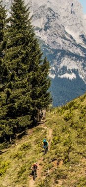
Hikes in Ischgl
Map

Show
on mapFriedrichshafener Hütte
on mapFriedrichshafener Hütte
Mountain hikes
Starting point: Mathon, bus stop on the Silvrettastraße road
Length: 7km
Elevation uphill: 686m
Total hiking time: 4 h 30 min
Difficulty rating: intermediate (red mountain trails)

Show
on mapPaznaun High Trail
on mapPaznaun High Trail
Long Distance Path
Starting point: Parish church in See
Length: 120km
Elevation uphill: 11,050m
Duration: 9 day(s)
Difficulty rating: difficult (black trails)

Show
on mapSmugglers' Trail Samnaun
on mapSmugglers' Trail Samnaun
Themed hikes
Starting point: Top station at Idalp
Length: 16km
Elevation uphill: 812m
Total hiking time: 7h
Difficulty rating: intermediate (red mountain trails)
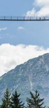
Ischgl: Hikes in the region

Galtür
Alpe Vermunt, often called the alpine jewel of Galtür, was fiercely…

Galtür
Bikers and hikers can look forward to sensational views of the Alps from…

Kappl
Located in the heart of the Samnaun Alps, the Grübelesee is a crystal-clear…