Hikes in Nauders
Map

Show
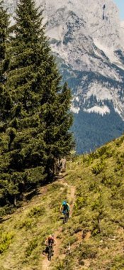
on mapKleiner Mutzkopf – Schwarzer See – Grüner See
on mapKleiner Mutzkopf – Schwarzer See – Grüner See
Mountain hikes
Starting point: Top station of Mutzkopflift, Nauders
Length: 10km
Elevation uphill: 200m
Total hiking time: 4h
Difficulty rating: easy (hiking trails)

Show
on mapLabaunalm - Schmalzkopf
on mapLabaunalm - Schmalzkopf
Starting point: Nauders
Length: 18km
Elevation uphill: 1,380m
Difficulty rating: intermediate (red mountain trails)

Show
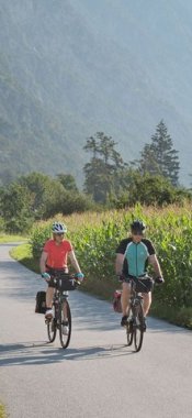
on mapVia Claudia Augusta
on mapVia Claudia Augusta
Long Distance Path
Starting point: Donauwörth; in Tirol: Pinswang near Reutte
Length: 150km
Elevation uphill: 2,640m
Duration: 9 day(s)
Difficulty rating: easy (hiking trails)
Nauders: Hikes in the region

Ried im Oberinntal
This hike of intermediate difficulty leads from the village of Ried in the…

Kaunerberg
This wonderful circular walk in the Kaunergrat Nature Park traverses the…

Fendels
This moderate to difficult four-day trek begins in Fendels, a village in…