
Difficulty:medium
Length:10.1 kmDuration:11:20 hElevation uphill:1,554 m
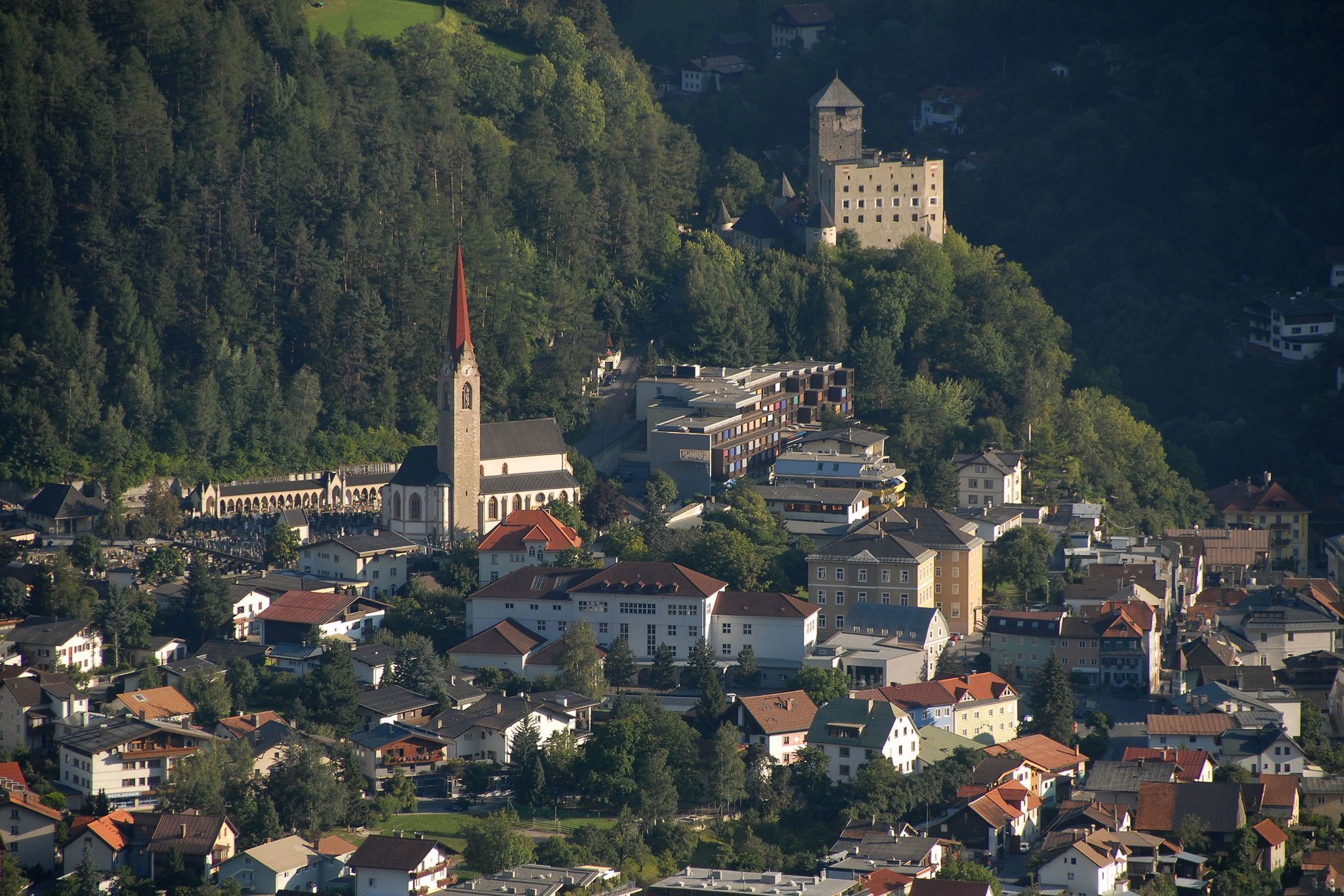
Comfortable path in a wonderful sunny location above Landeck.

From the train station Landeck-Zams you follow the main road towards Landeck until you get to the Perjener bridge. Cross the bridge to Perjen and follow the road for 400 m to the junction Burgweg. Then follow the signs to the beginning of the Sonnenweg. This beautiful walk will take you about 2.8 km to the west entrance of Sonnenweg in Landeck-Bruggen. To get back, take the same path for about 1.6 km until you see the signs “Jakobsweg“. Follow this path leading you down to Landeck-Perjen. You first walk left and then right following the road, past the monastery Perjen until you get to the intersection at Mini-MPreis. Turn right to cross the Perjener bridge and then turn left onto the highway, which will lead you back to the train station.
TIP:
At Nisslpark you can keep right and walk down to the Burschl bridge and then take the bike path back to the center of Landeck.


.jpg")


.jpg")
