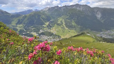
Eagle Walk Stage 23, © Tirol Werbung/Dominik Gigler
© Tirol Werbung/Christian Klingler
Eagle Walk Stage 23: Kaiserjochhaus, © Tirol Werbung/Christian Klingler

Eagle Walk Stage 23: Ansbacher Hütte - Kaiserjochhaus

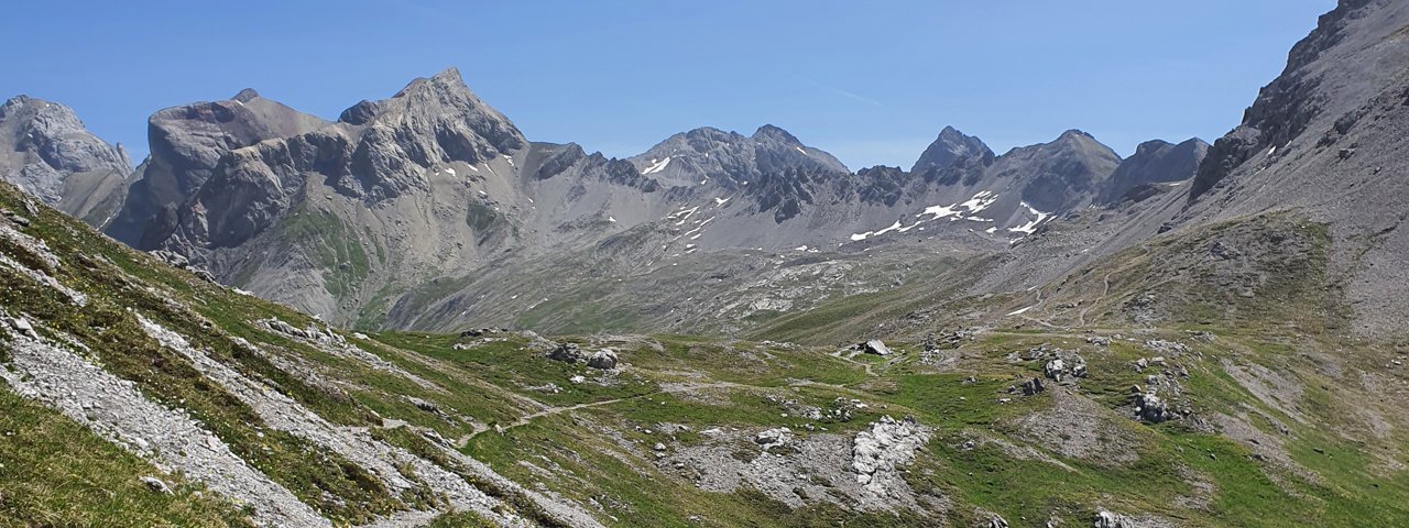
Starting at a little under 2,400 metres in elevation and never dropping below 1,700 metres, this stage along the airy ridges of the Lechtal Alps will provide miles of dramatic views. After passing over the Flarschjoch ridge, the Knappenböden area and the Alperschonjoch ridge, hikers tackle the steep, rough and technical Haas-Weg trail or can opt for an easier alternative. The final push to the Kaiserjochhaus, taking you up to an elevation of 2,310 metres, is another exposed scramble with a fixed anchoring system of cables. But all that hard work is worth it. At the end of the day, the Kaiserjochhaus lodge extends a warm welcome and a sincere invite to call it a day.

Interesting Facts

Eagle View · Peak baggers may want to nab the pinnacle of the 2,388-metre Malatschkopf peak east of the Kaiserjochhaus lodge, from where the ascent starts. Steep, rough and technical, it should not be attempted by those with a fear of heights. If you can safely navigate this trail, though, the rewards of this 30-minute detour are breathtaking views of the Stanzertal Valley below.

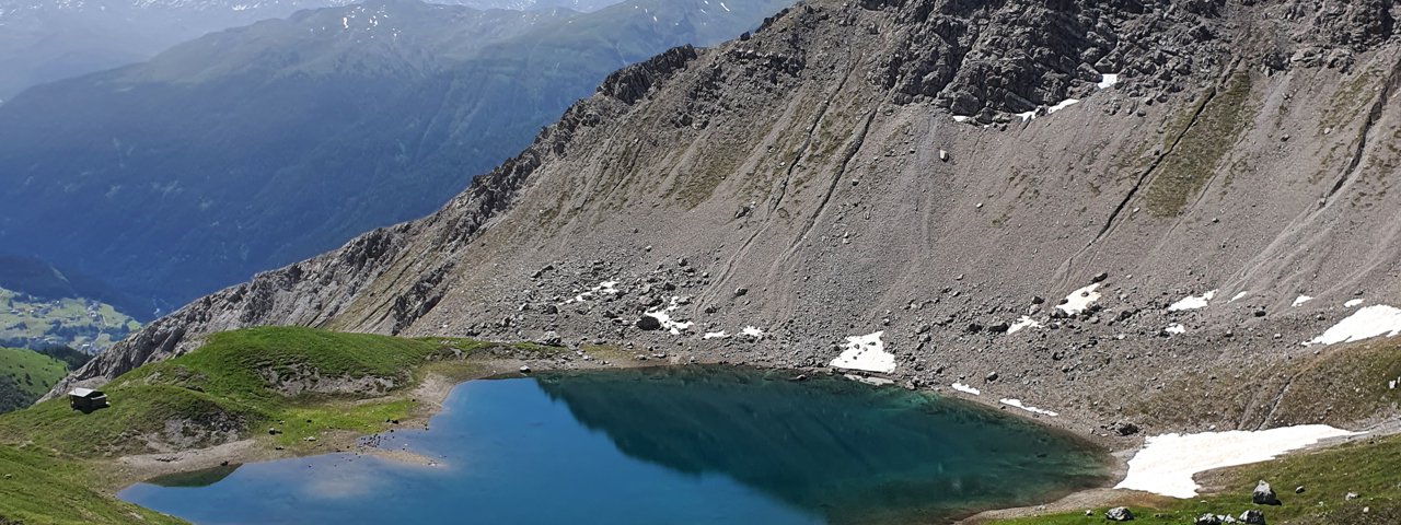
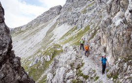
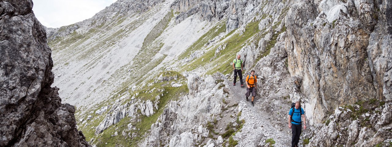
Eagle Kick · The section across the rugged terrain south of the Vorderseespitze mountain is called the "Haas-Weg" trail. This rock scramble can be treacherous and intimidating to unseasoned hikers. The steep drop-offs and jagged flanks are assisted by a fixed anchoring system of cables; it's not dangerous, but hikers anxious on ledges may want to opt for another trail, descending from the Alperschonjoch ridge and passing Vordersee lake to get back to the original hiking trail.

Interesting Facts Eagle View · Peak baggers may want to nab the pinnacle of the 2,388-metre Malatschkopf peak east of the Kaiserjochhaus…

Read moreShow less
Open interactive map

Starting point  

Ansbacher Hütte

Finishing point

Kaiserjochhaus

Mountain chain

Lechtal Alps

Length

8.5 km

Total hiking time

5h

Features

  • Wheelchair-accessible Hiking Route
  • Circular hike

Difficulty rating

difficult (black trails)

Altitude

2,480m 2,280m

Elevation uphill 520m
Vertical metres downhill 580m

Fitness level

Technique

Best time of year

Jan
Feb
Mar
Apr
May
Jun

Jul
Aug
Sep
Oct
Nov
Dec

* These are approximate values and recommendations. Please take your personal fitness level, technical ability and the current weather conditions into account. Tirol Werbung cannot guarantee that the information provided is correct and accepts no liability.

Eagle Walk

This is a stage of the Eagle Walk, Tirol's most famous long-distance hiking trail.

Downloads

Trail description

Starting point: Ansbacher Hütte

Start off at Ansbacher Hütte and gently ascend on a well-defined singletrack trail up to the Flarschjoch ridge. Just below the ridge, you have the option of branching off to Memminger Hütte. The Eagle Walk gently descends across scree slopes and meadows from the Flarschjoch ridge towards an area known as "Knappenböden". There, the trail levels off and continues ahead across scree slopes to Alperschonjoch saddle, topped by a small cricifix. Beyond the saddle, the trail slightly descends before resuming its climb in switchbacks. Eventually the trail winds down to Vordersee lake. This section skirting the southern side of the spectacularly rugged Vorderseespitze peak is called the Haas-Weg trail. The Haas-Weg trail mostly crosses meadows as well as exposed and steep rock flanks and cornices; many sections are assisted by a fixed anchoring system of cables. From Vordersee lake, the trail begins a gradual climb and heads towards Hinterseejoch saddle. As you approach the saddle, the ascent steepens, with the trail following an earthy footpath that zigzags up to the dip. Beyond Hinterseejoch saddle, the trail heads gradually downhill in switchbacks. Some distance ahead, the trail traverses scree slopes westward, slightly descending, before resuming its climb below Kridlonscharte ridge for a short distance. Here, the soil can be earthy and slippery in wet conditions. Eventually, climb up to Kridlonscharte ridge, with the trail following a rocky footpath through exposed and rugged terrain and across a chimney where fixed cables are mounted. On the other side of the notch, the trail descends on a winding footpath through mountain meadows, passing by a rock ledge. Soon, the trail heads westward and traverses the slopes leading to the Kaiserjochhaus. In this section, the scant trail is exposed to steep drop-offs in rugged terrain with many ups and downs; many sections are assisted by a fixed anchoring system of cables. Continue ahead through meadows to reach the destination end of this walk, the inviting Kaiserjochhaus lodge at an elevation of 2,310 metres.

Finishing point: Kaiserjochhaus

Information on place

Arrival date

How to get here by plane, train, bus or car.

Ihr Ziel: Eagle Walk Stage 23: Ansbacher Hütte - Kaiserjochhaus (47.1682542,10.4032708)

powered by Rome2Rio

Search accommodation

Number of travelers

Hiking trails in this region

show more +

How did you like this article?

Want to receive an answer? If so, please get in touch using the contact form.

Go up

Is your inbox in need of a holiday?

Then subscribe to our weekly newsletter full of exclusive holiday tips from Tirol!