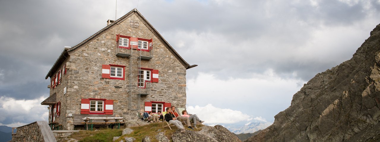
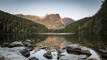
The Erlanger Hütte (2,550 metres) is a high mountain refuge next to the Wettersee lake in the Ötztal Alps, Tirol.
Important refuge next to the Wettersee lake
German Alpine Club, Erlangen Division
Next to the Wettersee lake, below the Wildgrat ridge – that is the best way to describe the "address" of the Erlanger Hütte. This high mountain refuge is located in beautiful but unforgiving alpine terrain where a protective hut is very much needed. The ascent to the hut may not be technically challenging, but it is very long. Despite its remote location, the hut offers impeccable comfort and even has electricity during the period when it is open. The very commendable kitchen serves Tirolean specialities, created using products sourced predominantly from local farms. The Erlanger Hütte is an important base for beautiful walks and hikes and is located on the Central Alps Hiking Trail (trail 02A.) Magnificent views of the hut and the idyllic Wettersee lake can be enjoyed from the Wildgrat ridge above. The hut itself also offer fabulous views.
How to get to the Erlanger Hütte
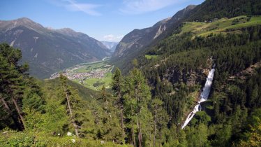
From Umhausen in Ötztal via the Vordere Leierstalalm (4.5 hours) or by taxi to the Vordere Leierstalalm and from there on foot to the hut (2 hours). From Tumpen in the Ötztal Valley via the Gehsteigalm to the Erlanger Hütte (5 hours) or by taxi to the Gehsteigalm, from there on foot to the Erlanger Hütte (2 hours).
Walks and hikes in the area (walking time to summit)
Kreuzjochspitze (2,675 metres), 1.5 hours
Wildgratspitze, (2,974 metres), 1.75 hours, difficult
Fundusfeiler (3,079 metres), 4 hours, difficult
Further huts in the area, long-distance hiking trails
Ludwigsburger Hütte, 3 hours
Frischmannhütte, 5 hours
Hochzeigerhaus, 3 hours
The Erlanger Hütte is located on the route of the Ötztal Trek (Stage 21/22).
Important refuge next to the Wettersee lake German Alpine Club, Erlangen Division Next to the Wettersee lake, below the Wildgrat ridge – that…


