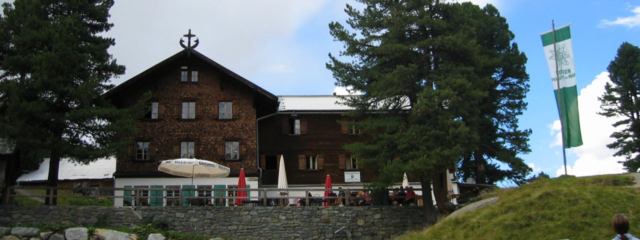
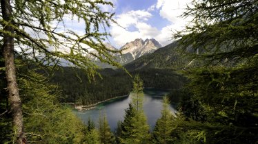
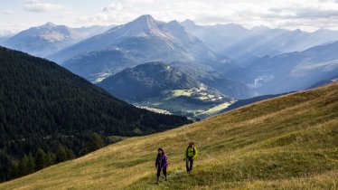
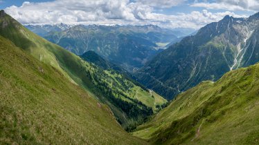
The Gepatschhaus (1,928 metres) is a German Alpine Club mountain refuge in the Ötztal Alps directly on the Kaunertal Glacier Road.
Austria’s first German Alpine Club hut
German Alpine Club, Frankfurt am Main Division
Gepatschhaus in the Upper Kaunertal Valley was the very first German Alpine Club hut to be built in Austria. That was back in 1873, when the glacier was considered to be an incredible attraction. Even today the hut is a popular starting point for many summit and ice tours, especially for those keen to make ambitious ascents of the 3,000-metre-high peaks. The Maria Schnee (Our Lady of the Snow) Chapel, which was consecrated in 1895, is right next to the Gepatschhaus. Both are listed buildings. The interior of the house is also well worth seeing. The spacious wood-panelled dining room has charm and history, where you can tuck into regional specialities and delicious home cooking. A rock climbing area is around a 15-minute walk from the Gepatschhaus.
How to get to the Gepatschhaus
The Gepatschhaus is located on the Kaunertal Glacier Road, meaning no climb is necessary to access it. The "Gepatschhaus" bus stop is two minutes away.
Walks and hikes in the area (walking time to summit)
Weißseespitze (3,518 metres) 3.5 hours, difficult
Ochsenkopf (2,942 metres), 3.5 hours,
Hintere Ölgrubenspitze (3,295 metres), 5.5 hours, difficult
Glockturm (3,518 metres), 5.5 hours, intermediate
Nörderberg (2,885 metres), 3 hours, intermediate
Further huts in the area
Anton-Renk-Hütte, 8 hours
Brandenburger Haus, 5,75 hours
Hohenzollernhaus, 8 hours
Rauhekopfhütte, 3 hours
Taschachhaus, 5 hours
Vernagthütte, 5,5 hours
Weißkugelhütte, 8 hours
Austria’s first German Alpine Club hut German Alpine Club, Frankfurt am Main Division Gepatschhaus in the Upper Kaunertal Valley was the very…


